Elstead

Civil Parish in Surrey Waverley

England

Elstead

Moat Pond Car Park near Elstead, Surrey A public car park in woodland near the village of Elstead in Surrey.
Moat Pond Car Park near Elstead, Surrey Credit: Malc McDonald

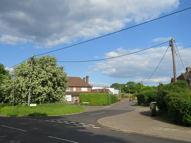
Elstead is a civil parish located in the county of Surrey, England. Situated on the northern border of the South Downs National Park, this picturesque village has a population of around 2,500 residents. The parish covers an area of approximately 11 square kilometers.

Known for its rich history, Elstead dates back to the Anglo-Saxon period. Evidence of early settlement can be seen in the form of the ancient church of St. James, which was built in the 12th century. The village also has several listed buildings, including traditional thatched cottages and farmhouses, adding to its charming character.

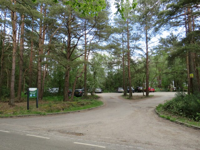
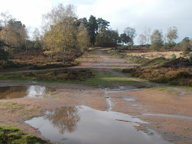
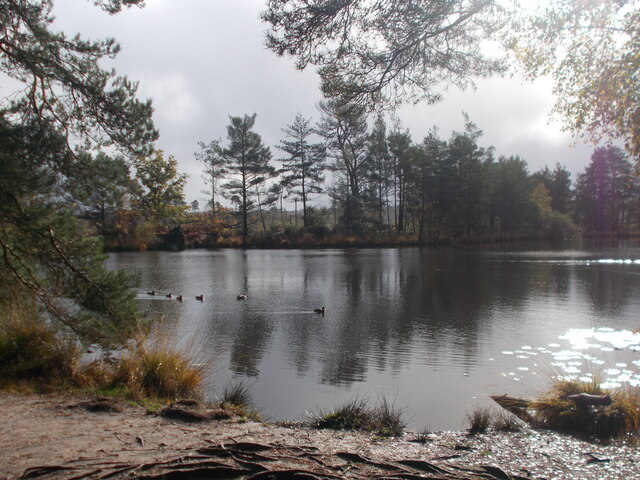
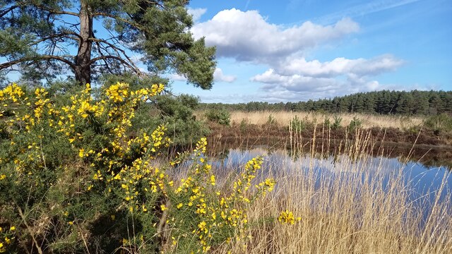
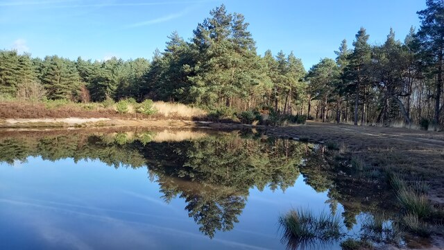
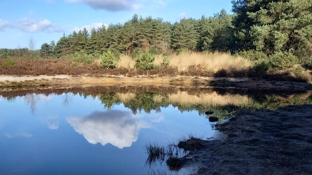
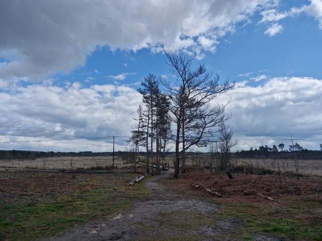
Elstead is surrounded by beautiful countryside, making it a popular destination for outdoor enthusiasts. The River Wey, which flows through the village, provides opportunities for fishing and boating. The nearby Hankley Common and Thursley National Nature Reserve offer scenic walking trails and birdwatching spots.

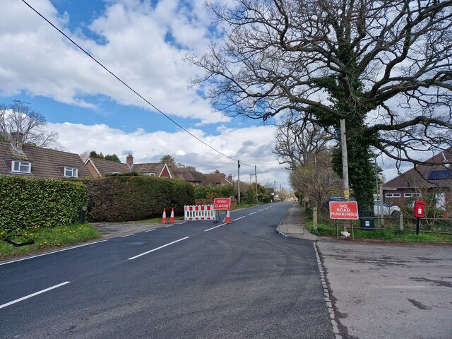
The village has a range of amenities, including a primary school, a community centre, a post office, and a few local shops and eateries. Elstead is well-connected by road, with the A3 passing through the parish, providing easy access to nearby towns and cities such as Guildford and Farnham.

In summary, Elstead is a picturesque and historic village in Surrey, boasting stunning natural surroundings and a close-knit community. With its rich heritage and convenient location, it offers residents and visitors alike a peaceful and idyllic place to live or explore.

If you have any feedback on the listing, please let us know in the comments section below.
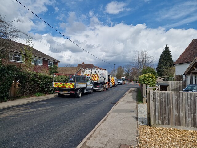
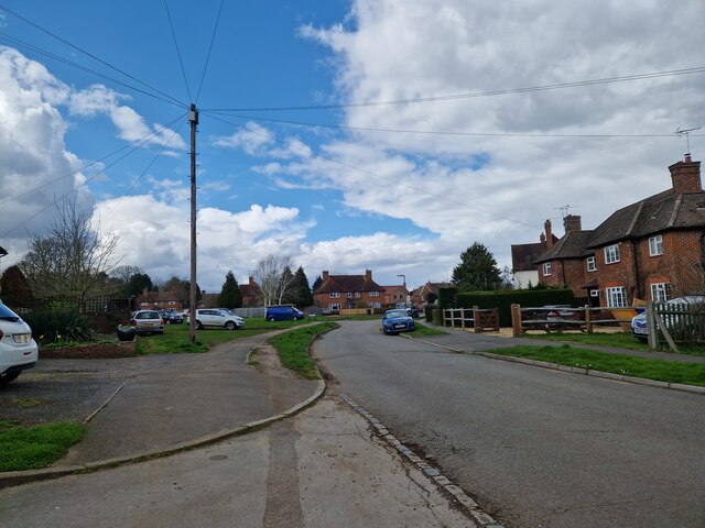
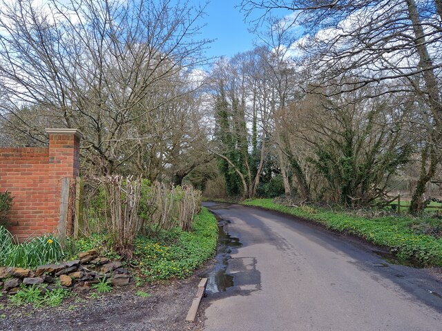
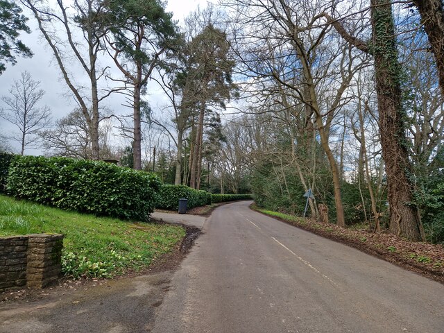
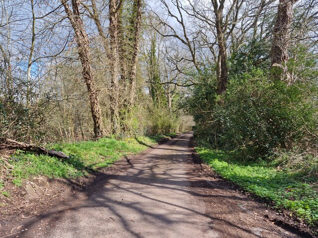
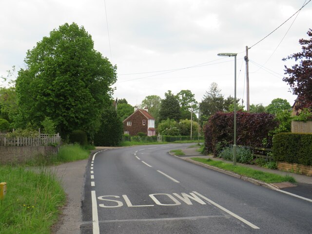
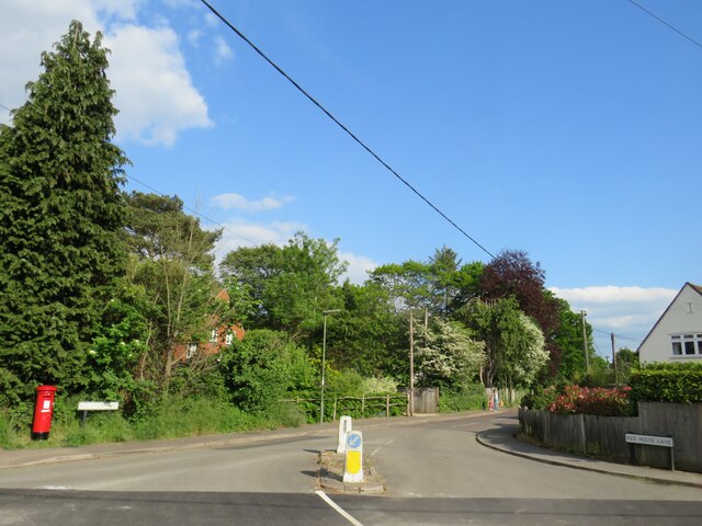
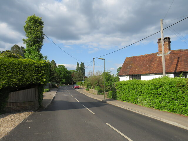
Elstead Images

Images are sourced within 2km of 51.180614/-0.715621 or Grid Reference SU8943. Thanks to Geograph Open Source API. All images are credited.

Moat Pond Car Park near Elstead, Surrey A public car park in woodland near the village of Elstead in Surrey.
Moat Pond Car Park near Elstead, Surrey
A public car park in woodland near the village of Elstead in Surrey.
Yagden Hill on Hankley Common Plenty of pools of water around indicating recent rainfall.
Yagden Hill on Hankley Common
Plenty of pools of water around indicating recent rainfall.
Moat Pond, Thursley Common
Elstead Common Nature reserve with blooming gorse beside a heathland pond.
Elstead Common
Nature reserve with blooming gorse beside a heathland pond.
Elstead Common - Pond Nature reserve and heathland - reflective scene on the edge of coniferous woodland.
Elstead Common - Pond
Nature reserve and heathland - reflective scene on the edge of coniferous woodland.
Elstead Common Small pond on heathland in a nature reserve.
Elstead Common
Small pond on heathland in a nature reserve.
Navigating northwards along the Bashir (9 ) Road ahead closed at Elstead
Navigating northwards along the Bashir (9 )
Road ahead closed at Elstead
Navigating northwards up the Bashir (8) Path east of Moat Pond
Navigating northwards up the Bashir (8)
Path east of Moat Pond
Navigating northwards up the Bashir (10) Road works at Elstead
Navigating northwards up the Bashir (10)
Road works at Elstead
Springfield: early April 2023 (taken from the junction with Bankside Close)
Springfield: early April 2023
(taken from the junction with Bankside Close)
Navigating northwards up the Basher (11) Taken in Fulbrook Lane, just past Thundry Farm
Navigating northwards up the Basher (11)
Taken in Fulbrook Lane, just past Thundry Farm
Fulbrook  Lane in early April
Fulbrook Lane in early April
Looking eastwards in Ham Lane
Thursley Road, Pot Common, near Elstead Thursley Road is a minor road in Surrey,  Here it passes through the hamlet of Pot Common as it approaches the village of Elstead.
Thursley Road, Pot Common, near Elstead
Thursley Road is a minor road in Surrey, Here it passes through the hamlet of Pot Common as it approaches the village of Elstead.
Thursley Road, Elstead, near Farnham Thursley Road entering the village of Elstead in Surrey.
Thursley Road, Elstead, near Farnham
Thursley Road entering the village of Elstead in Surrey.
Red House Lane, Elstead, near Farnham Red House Lane is a minor road in the village of Elstead in Surrey.
Red House Lane, Elstead, near Farnham
Red House Lane is a minor road in the village of Elstead in Surrey.
Thursley Road, Elstead, near Farnham Thursley Road is a minor road leading into the village of Elstead in Surrey.
Thursley Road, Elstead, near Farnham
Thursley Road is a minor road leading into the village of Elstead in Surrey.
West Hill, Elstead, near Farnham West Hill is a residential road in Elstead, a village in Surrey.
West Hill, Elstead, near Farnham
West Hill is a residential road in Elstead, a village in Surrey.
Show me another place!

Elstead is located at Grid Ref: SU8943 (Lat: 51.180614, Lng: -0.715621)

Administrative County: Surrey

District: Waverley

Police Authority: Surrey

What 3 Words

///compose.stilted.blunt. Near Elstead, Surrey

Related Wikis

Charleshill SSSI

Charleshill SSSI is a 10.1-hectare (25-acre) biological Site of Special Scientific Interest west of Elstead in Surrey. It is part of Thundry Meadows nature...

Hankley Farm

Hankley Farm is a 2.4-hectare (5.9-acre) biological Site of Special Scientific Interest (SSSI) west of Elstead in Surrey.This sandy arable field has been...

Thundry Meadows

Thundry Meadows is a 16-hectare (40-acre) nature reserve in Elstead in Surrey. It is managed by the Surrey Wildlife Trust. Part of it is Charleshill Site...

Elstead

Elstead is a civil parish in Surrey, England with shops, houses and cottages spanning the north and south sides of the River Wey; development is concentrated...

Thursley Common

Thursley Common is a national nature reserve in Surrey, England, and has also been designated as a Ramsar wetland. It is also part of a Site of Special...
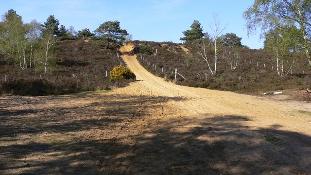
Hankley Common

Hankley Common is a 560-hectare (1,400-acre) nature reserve and filming location in the south-west of Elstead in Surrey. It is owned by the Ministry of...

Tilford

Tilford is a village and civil parish centred at the point where the two branches of the River Wey merge in Surrey, England, 3 miles (4.8 km) south-east...
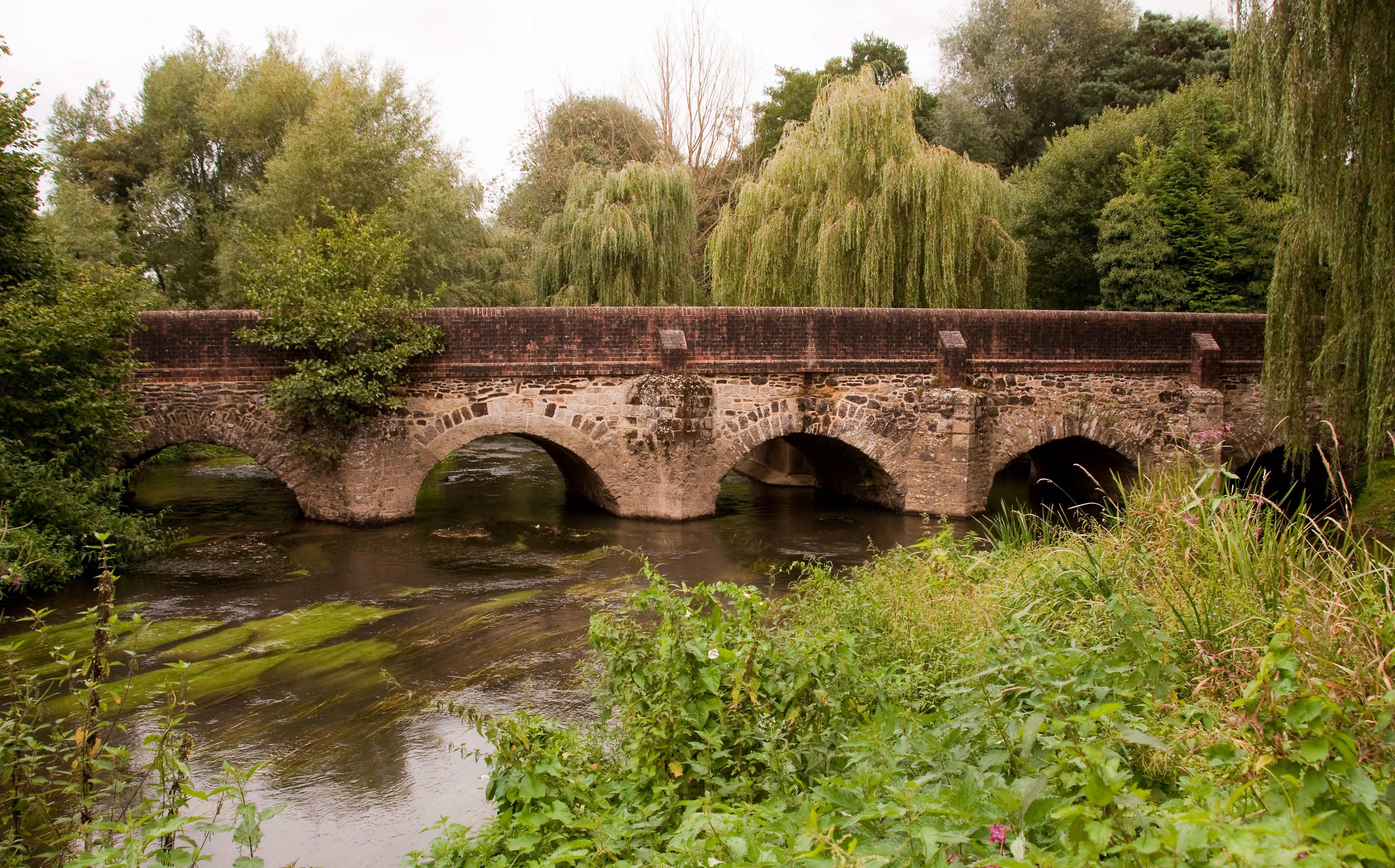
River Wey

The River Wey is a main tributary of the River Thames in south east England. Its two branches, one of which rises near Alton in Hampshire and the other...

Nearby Amenities

Located within 500m of 51.180614,-0.715621
Post Box
Collection Times: Mo-Fr 09:00; Sa 07:00
Post Box Type: lamp
Ref: GU8 9D
Royal Cypher: EIIR
Royal Cypher Wikidata: Q33102113
Lat/Long: 51.1776284/-0.7107575
Beacon View Road
Naptan AtcoCode: 40004411199A
Naptan Bearing: SW
Naptan BusStopType: CUS
Naptan CommonName: Beacon View Road
Naptan Indicator: Just after
Naptan Landmark: Beacon View Road
Naptan NaptanCode: surgpdtw
Naptan Street: Thursley Road
Naptan Verified: no
Source: naptan_import
Lat/Long: 51.1773651/-0.7110262
Bus Stop
Beacon View Road
Naptan AtcoCode: 40004411199B
Naptan Bearing: N
Naptan CommonName: Beacon View Road
Naptan Indicator: Just Before
Naptan Landmark: Beacon View Road
Naptan NaptanCode: surdwagd
Naptan Street: Thursley Road
Naptan Verified: no
Source: naptan_import
Lat/Long: 51.1774739/-0.711109
Bus Stop
Post Office
Naptan AtcoCode: 40004411200B
Naptan Bearing: NE
Naptan CommonName: Post Office
Naptan Indicator: O/s
Naptan Landmark: Post Office
Naptan NaptanCode: surdwagj
Naptan Street: Thursley Road
Naptan Verified: no
Source: naptan_import
Lat/Long: 51.1793191/-0.7096268
Bench
Lat/Long: 51.1840599/-0.7124492
Driving School
Automatic Driving Tuition
Lat/Long: 51.1782759/-0.7105047
Defibrillator
Defibrillator Location: Outside on south east corner of pavilion in coded green and yellow box to the far left of main pavilion entrance and facing the recreation grounds.
Emergency: defibrillator
Indoor: no
Ref: AHA537
Lat/Long: 51.1777149/-0.7101678
Drinking Water: yes
Man Made: water_tap
Lat/Long: 51.1778711/-0.7104414
Elstead Cricket Club
Addr City: Elstead
Addr Postcode: GU8 6DU
Addr Street: Thursley Road
Club: sport
Sport: cricket
Lat/Long: 51.177826/-0.7103349
Elstead FC
Club: sport
Contact Website: https://elsteadfc.co.uk/
Sport: soccer
Lat/Long: 51.177779/-0.7102964
Post Box
Brand: Royal Mail
Brand Wikidata: Q638098
Brand Wikipedia: en:Royal Mail
Collection Times: Mo-Fr 16:00; Sa 09:30
Drive Through: no
Operator: Royal Mail
Operator Wikidata: Q638098
Post Box Type: pillar
Ref: GU8 74
Royal Cypher: GVIR
Royal Cypher Wikidata: Q33102169
Lat/Long: 51.180137/-0.7086483
Direction: 200
Generator Method: photovoltaic
Generator Output Electricity: yes
Generator Solar Modules: 16
Generator Source: solar
Generator Type: solar_photovoltaic_panel
Location: roof
Power: generator
Lat/Long: 51.1815733/-0.7088485
Elstead Parish Council
Note: council notice board
Tourism: information
Lat/Long: 51.1779875/-0.7105394
Bench
Backrest: yes
Colour: pinkish
Inscription: Donated by Elstead WI (Afternoon) Group 2009
Material: plastic;metal
Seats: 4
Lat/Long: 51.17856/-0.7093014
Waste Basket
Colour: green
Material: metal
Lat/Long: 51.1776516/-0.7107481
Bicycle Parking
Bicycle Parking: stands
Capacity: 12
Covered: no
Lat/Long: 51.1778812/-0.7101373
Leisure: pitch
Sport: table_tennis
Lat/Long: 51.1781921/-0.7101012
Bench
Backrest: no
Material: wood
Seats: 8
Lat/Long: 51.1783612/-0.7100154
Access: yes
Hoops: 1
Leisure: pitch
Lit: no
Sport: basketball
Surface: asphalt
Lat/Long: 51.1784802/-0.7098708
Childcare
Tenderlinks Day Nursery
Addr City: Godalming
Addr Housename: The Pavilion
Addr Postcode: GU8 6DU
Addr Street: Beacon View Road
Opening Hours: +441252 703 593
Source Addr: survey/sign on pavilion
Website: https://www.tenderlinksdaynursery.co.uk/locations/elstead/
Lat/Long: 51.1777145/-0.7102734
Addr Housenumber: 5
Addr Street: Copse Edge
Lat/Long: 51.1811337/-0.709672
Addr Housenumber: 8
Addr Street: Copse Edge
Lat/Long: 51.1811256/-0.7100638
Addr Housenumber: 3
Addr Street: Copse Edge
Lat/Long: 51.1810843/-0.7095058
Addr Housenumber: 4
Addr Street: Copse Edge
Lat/Long: 51.1811052/-0.7096128
Addr Housenumber: 7
Addr Street: Copse Edge
Lat/Long: 51.1811763/-0.7099939
Addr Housenumber: 6
Addr Street: Copse Edge
Lat/Long: 51.1811599/-0.7097765
Addr Housenumber: 2
Addr Street: Copse Edge
Lat/Long: 51.1810401/-0.7093877
Bench
Backrest: yes
Colour: brown
Direction: 120
Inscription: DEDICATED TO ELSTEAD VILLAGE BY THE KINGSMEAD GROUP
Material: wood
Seats: 6
Lat/Long: 51.177482/-0.7110922
The data included in this document is from www.openstreetmap.org. The data is made available under ODbL.

Have you been to Elstead?

Leave your review of Elstead below (or comments, questions and feedback).