Ash Copse
Wood, Forest in Surrey Waverley
England
Ash Copse
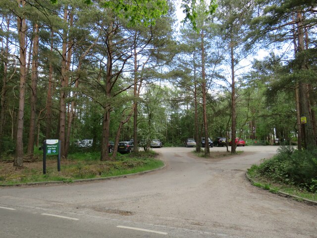
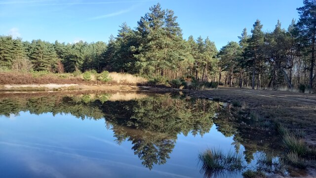
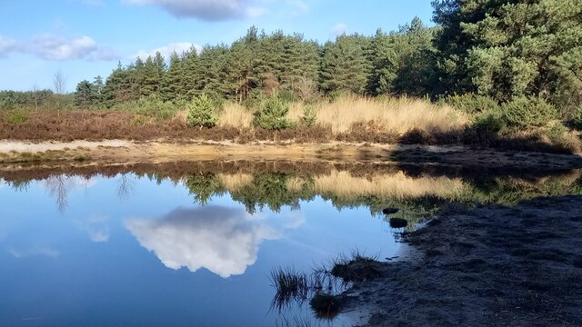
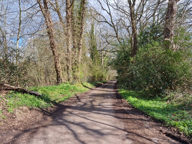
Ash Copse is a picturesque woodland located in Surrey, England. Covering an area of approximately 50 acres, it is a designated Site of Special Scientific Interest (SSSI) due to its unique ecological and historical significance. The copse is situated within the Surrey Hills Area of Outstanding Natural Beauty, adding to its charm and appeal.
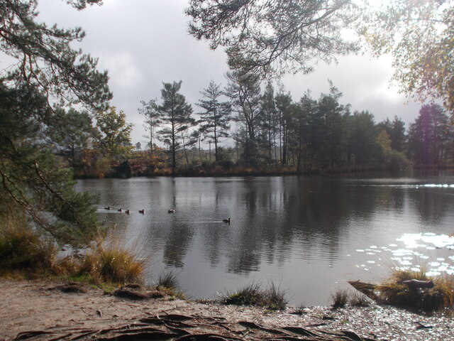
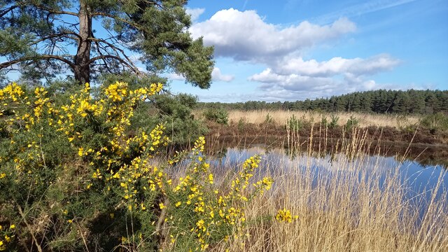
The woodland is predominantly composed of ash trees, hence its name, although it also contains a diverse range of other tree species such as oak, birch, and beech. The dense canopy created by these trees provides a sheltered habitat for a variety of wildlife, including birds, mammals, and insects. It is an important breeding ground for many woodland bird species, such as the woodpecker and nightingale.
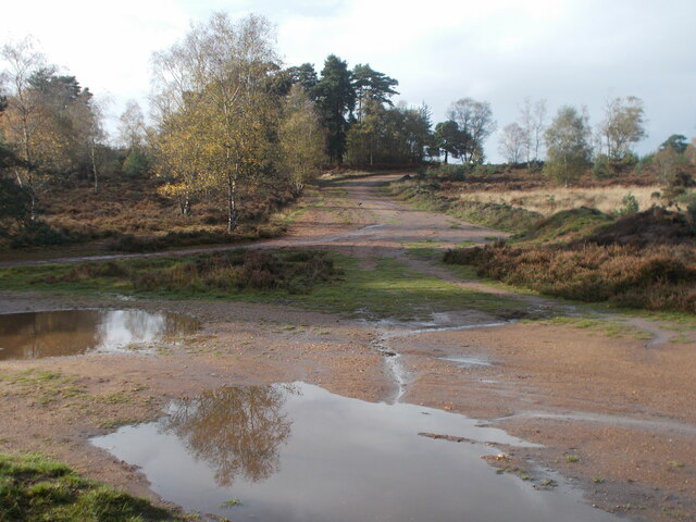
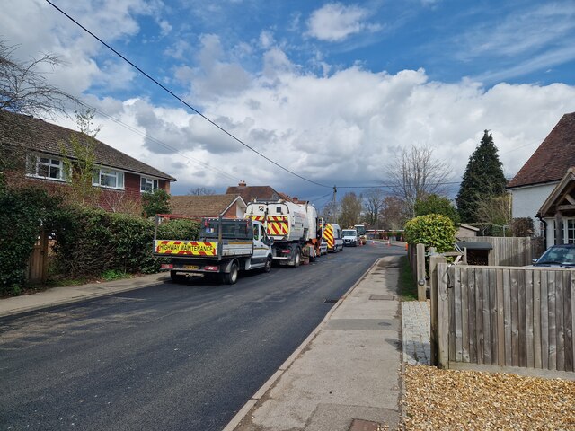
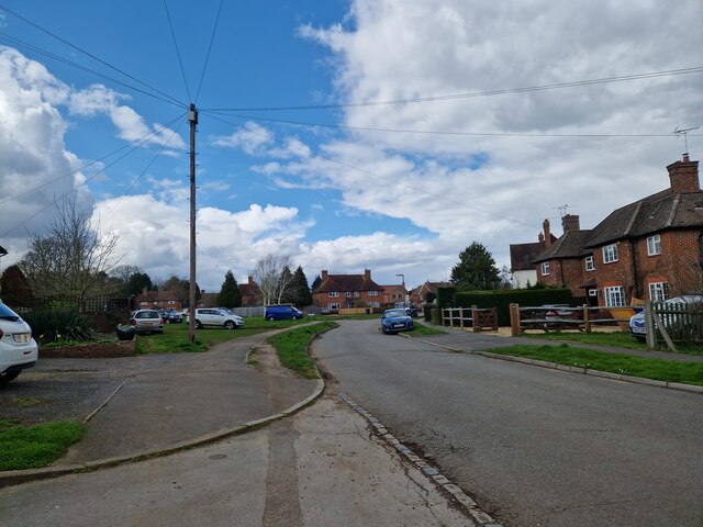
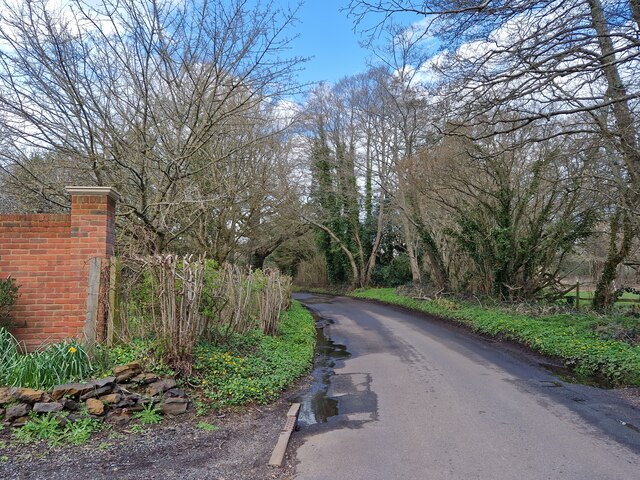
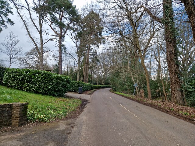
Ash Copse is a popular destination for nature enthusiasts and walkers, who can enjoy the tranquility and natural beauty of the area. It is crisscrossed by a network of footpaths and trails, allowing visitors to explore the copse and discover its hidden treasures. One such highlight is a small stream that meanders through the woodland, adding to its charm and providing a source of water for the diverse flora and fauna.
In addition to its ecological significance, Ash Copse also has historical importance. It is believed to have been part of a larger forest that covered this region during medieval times. The copse is dotted with remnants of ancient boundaries and earthworks, offering glimpses into its past.
Overall, Ash Copse is a captivating woodland that offers a unique blend of natural beauty, biodiversity, and historical interest. It is a haven for wildlife and a cherished recreational space for visitors to enjoy and appreciate.
If you have any feedback on the listing, please let us know in the comments section below.
Ash Copse Images
Images are sourced within 2km of 51.179996/-0.71789204 or Grid Reference SU8943. Thanks to Geograph Open Source API. All images are credited.

Ash Copse is located at Grid Ref: SU8943 (Lat: 51.179996, Lng: -0.71789204)
Administrative County: Surrey
District: Waverley
Police Authority: Surrey
What 3 Words
///spin.merge.vehicle. Near Elstead, Surrey
Nearby Locations
Related Wikis

Hankley Farm
Hankley Farm is a 2.4-hectare (5.9-acre) biological Site of Special Scientific Interest (SSSI) west of Elstead in Surrey.This sandy arable field has been...

Charleshill SSSI
Charleshill SSSI is a 10.1-hectare (25-acre) biological Site of Special Scientific Interest west of Elstead in Surrey. It is part of Thundry Meadows nature...

Thundry Meadows
Thundry Meadows is a 16-hectare (40-acre) nature reserve in Elstead in Surrey. It is managed by the Surrey Wildlife Trust. Part of it is Charleshill Site...

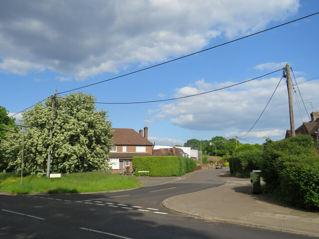
Elstead
Elstead is a civil parish in Surrey, England with shops, houses and cottages spanning the north and south sides of the River Wey; development is concentrated...
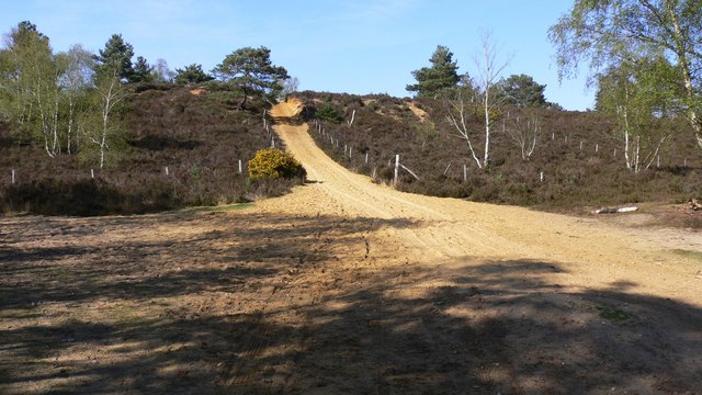
Hankley Common
Hankley Common is a 560-hectare (1,400-acre) nature reserve and filming location in the south-west of Elstead in Surrey. It is owned by the Ministry of...

Tilford
Tilford is a village and civil parish centred at the point where the two branches of the River Wey merge in Surrey, England, 3 miles (4.8 km) south-east...

Thursley Common
Thursley Common is a national nature reserve in Surrey, England, and has also been designated as a Ramsar wetland. It is also part of a Site of Special...
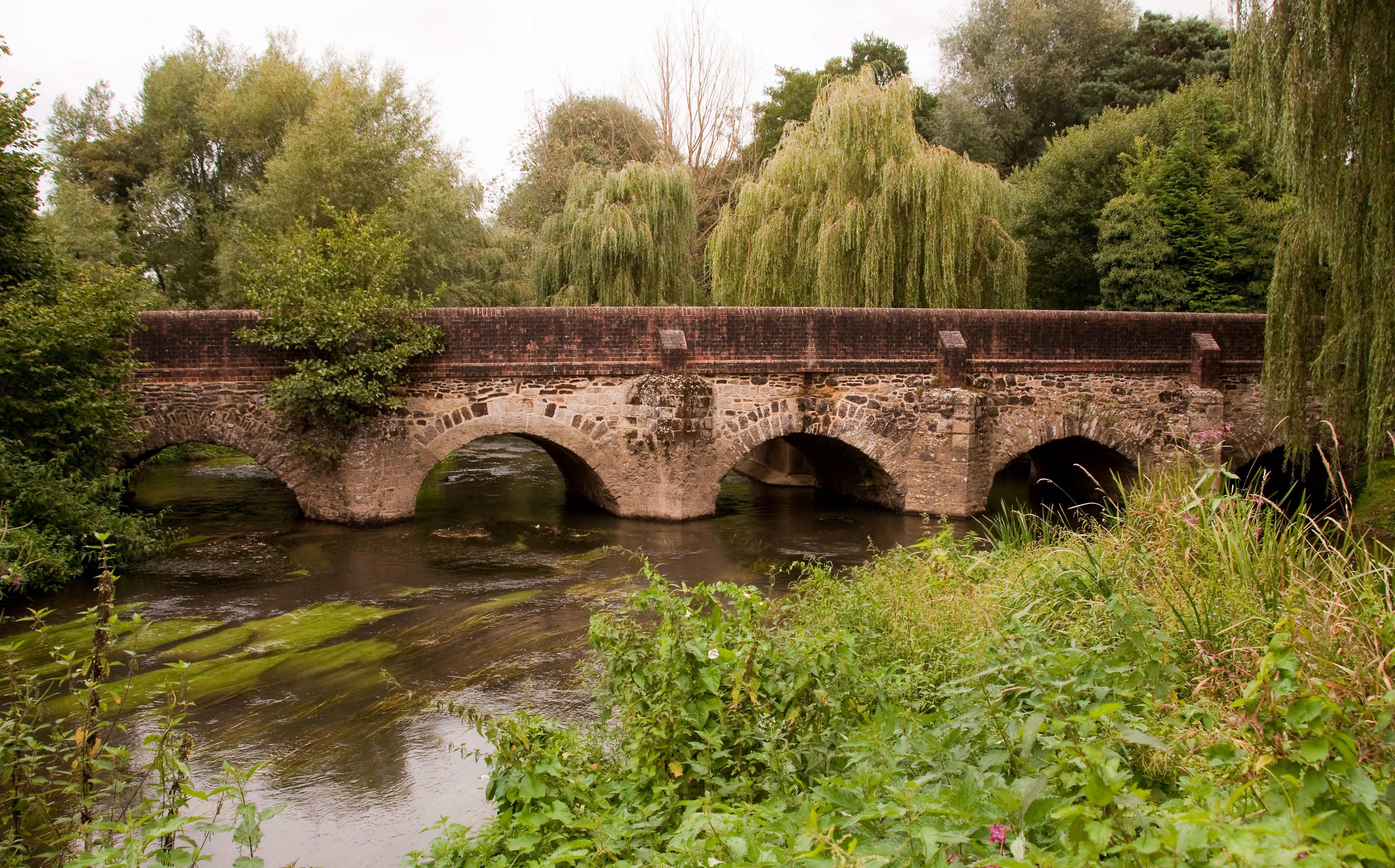
River Wey
The River Wey is a main tributary of the River Thames in south east England. Its two branches, one of which rises near Alton in Hampshire and the other...
Nearby Amenities
Located within 500m of 51.179996,-0.71789204Have you been to Ash Copse?
Leave your review of Ash Copse below (or comments, questions and feedback).