Elmdon
Civil Parish in Essex Uttlesford
England
Elmdon
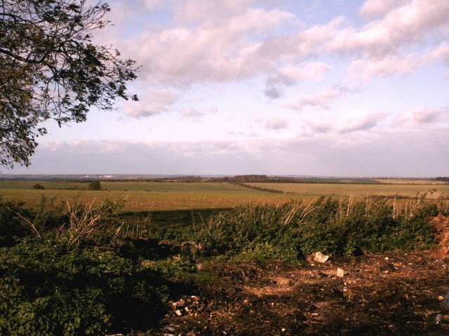
Elmdon is a civil parish located in the county of Essex, England. Situated in the district of Uttlesford, it covers an area of approximately 8.5 square miles. The parish is predominantly rural, characterized by picturesque countryside and charming villages.
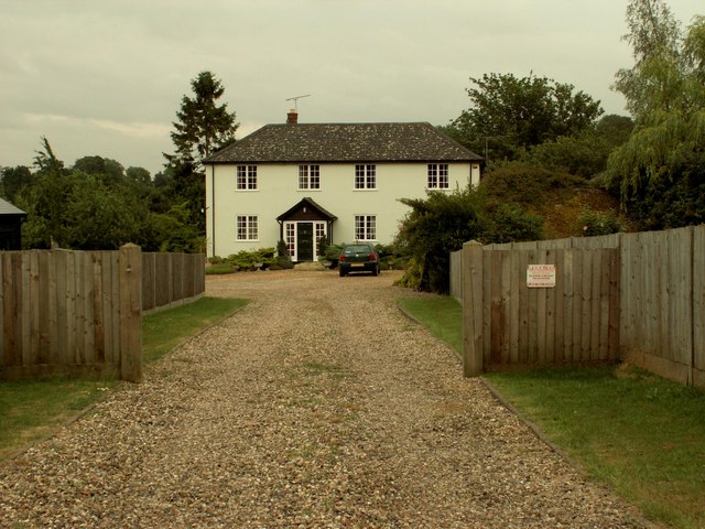
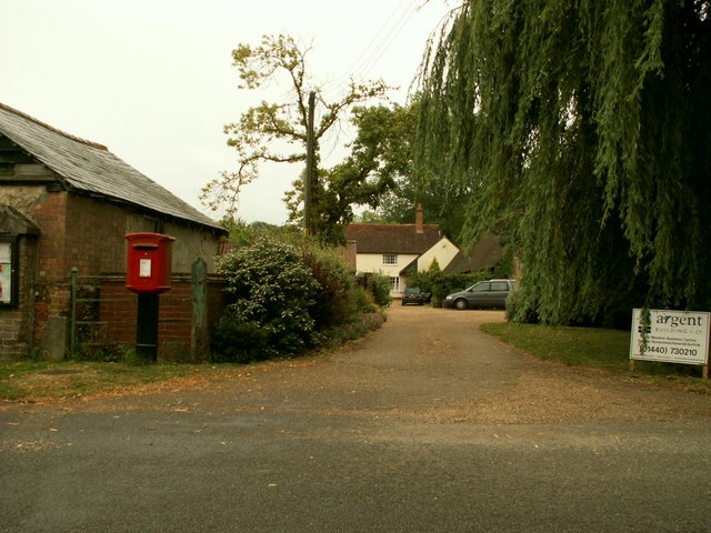
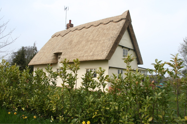
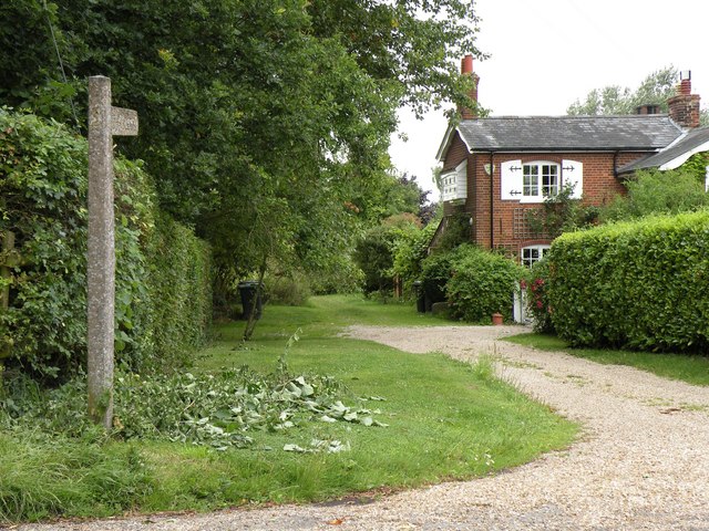
The village of Elmdon itself is a small and tight-knit community with a population of around 350 residents. It is nestled amongst rolling hills and lush green fields, offering a peaceful and idyllic setting for its inhabitants. The architecture in Elmdon predominantly consists of traditional English cottages and farmhouses, adding to its rustic charm.
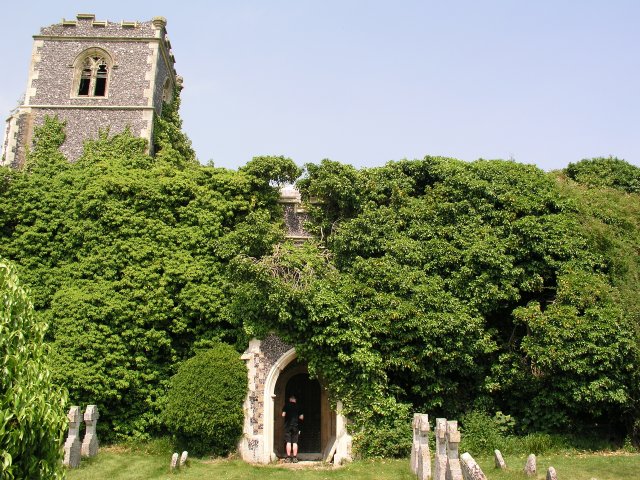
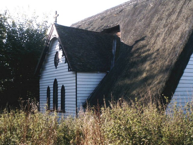
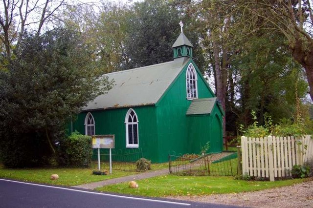
The parish boasts a rich history, with evidence of human settlement dating back to the Iron Age. The area has been inhabited by various civilizations throughout the centuries, leaving behind a legacy of historical landmarks and archaeological sites. One notable feature is the medieval church of St. Nicholas, which stands as a testament to the village's heritage.
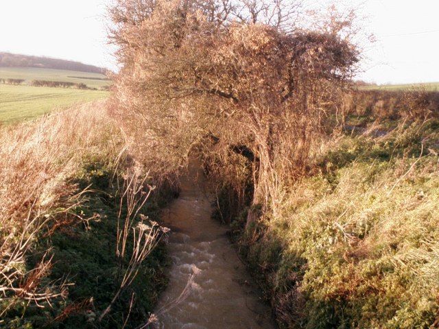
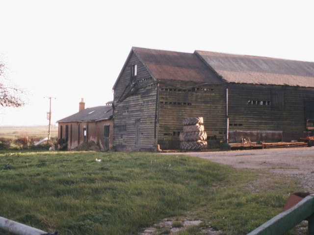
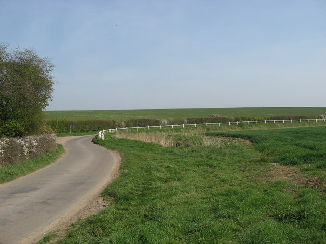
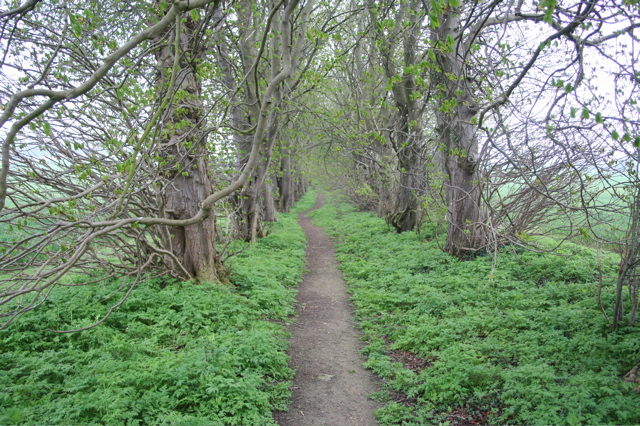
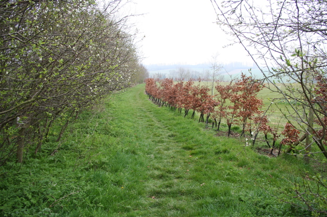
Elmdon is surrounded by beautiful natural landscapes, making it an ideal location for outdoor enthusiasts. The nearby countryside provides ample opportunities for walking, cycling, and exploring the great outdoors. The village is also home to several farms, where visitors can experience rural life and enjoy locally sourced produce.
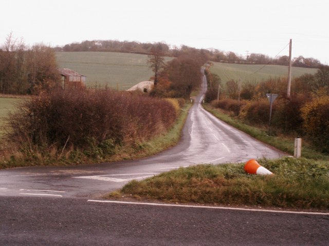
Despite its tranquil atmosphere, Elmdon benefits from its proximity to major transport links. The nearby M11 motorway connects the parish to London and Cambridge, making it an attractive place to live for those who commute to the city. Additionally, the village is served by regular bus services, ensuring residents have access to essential amenities and services.
In conclusion, Elmdon is a charming and historic civil parish in Essex, offering a delightful rural lifestyle with easy access to nearby urban centers. Its picturesque landscapes, rich history, and strong sense of community make it a desirable place to live.
If you have any feedback on the listing, please let us know in the comments section below.
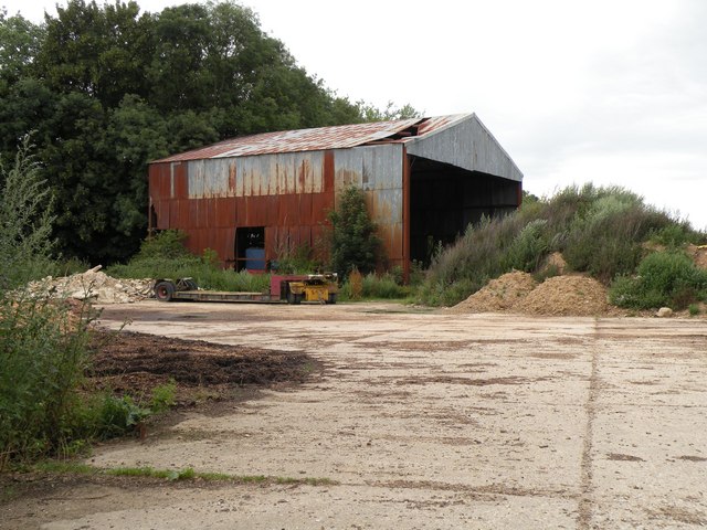
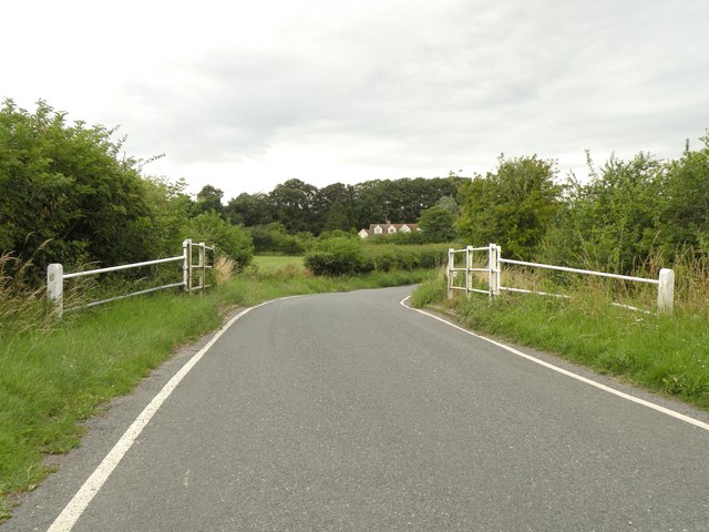
Elmdon Images
Images are sourced within 2km of 52.017245/0.15582 or Grid Reference TL4837. Thanks to Geograph Open Source API. All images are credited.
Elmdon is located at Grid Ref: TL4837 (Lat: 52.017245, Lng: 0.15582)
Administrative County: Essex
District: Uttlesford
Police Authority: Essex
What 3 Words
///sloping.swift.pave. Near Great Chesterford, Essex
Nearby Locations
Related Wikis

Littlebury Green
Littlebury Green is a village in the civil parish of Littlebury and the district of Uttlesford in Essex, England. Littlebury Green is one of three settlements...

Strethall
Strethall is a village and a civil parish in the Uttlesford District, in the English county of Essex, near the town of Saffron Walden. Having suffered...

Duddenhoe End
Duddenhoe End is a small village in the civil parish of Elmdon & Wenden Lofts, in northwest Essex, England, and situated approximately halfway between...

Wenden Lofts
Wenden Lofts is a small community in the civil parish of Elmdon, Duddenhoe End & Wenden Lofts in the Uttlesford district, in the county of Essex, England...

Elmdon
See also, Elmdon, West Midlands.Elmdon is a village in the civil parish of Elmdon, Duddenhoe End & Wenden Lofts situated in the Uttlesford district of...

St Mary the Virgin Church, Wendens Ambo
St Mary the Virgin Church is a Church of England parish church in the village of Wendens Ambo in Essex, England. It is listed Grade I for its architectural...

Arkesden
Arkesden is a village and civil parish in the Uttlesford district of Essex, England. The village is 4.3 miles (7 km) south-west from Saffron Walden, approximately...

Wendens Ambo
Wendens Ambo is a village in the Uttlesford district of Essex, England. The population at the 2011 census was measured at 473. Its name originates from...
Nearby Amenities
Located within 500m of 52.017245,0.15582Have you been to Elmdon?
Leave your review of Elmdon below (or comments, questions and feedback).