Eight Ash Green

Civil Parish in Essex Colchester

England

Eight Ash Green

Layby on the A12, Stanway
Layby on the A12, Stanway Credit: David Howard

Eight Ash Green is a civil parish located in the county of Essex, England. Situated approximately 5 miles to the west of Colchester, it is a small rural settlement with a population of around 700 residents. The parish covers an area of approximately 5 square kilometers.

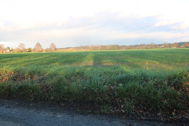
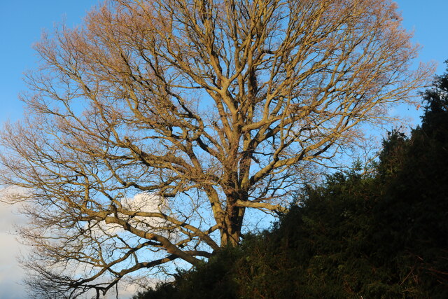
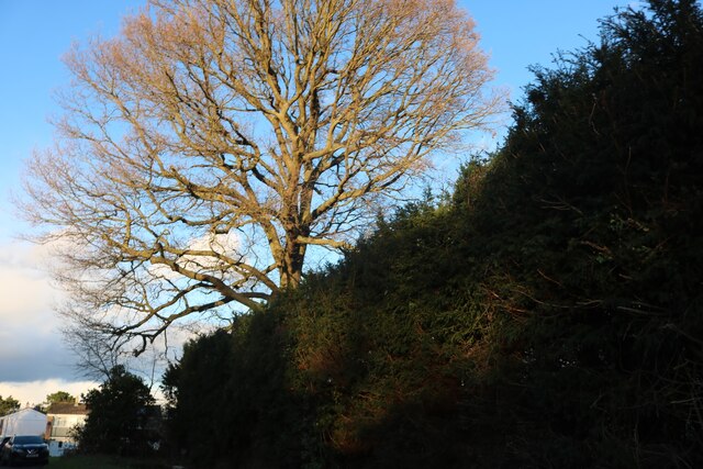
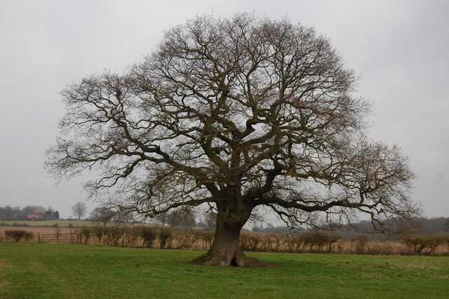
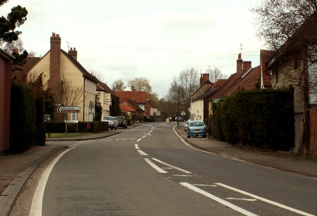
The name "Eight Ash Green" is derived from the presence of eight ash trees that once stood on the village green. The village is characterized by its picturesque countryside setting, with rolling fields and meadows surrounding the area. It is a popular destination for those seeking a peaceful and tranquil environment away from the hustle and bustle of city life.

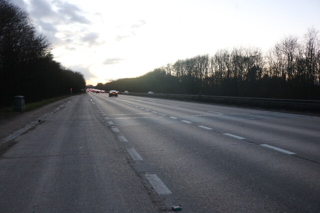
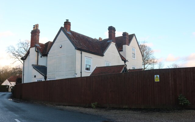
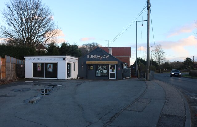
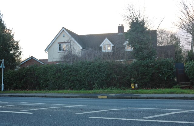
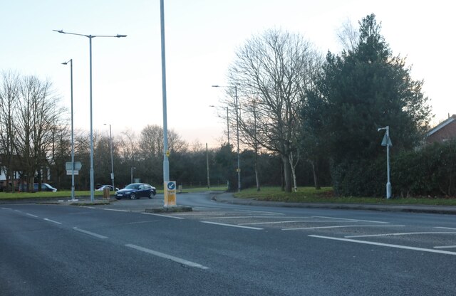
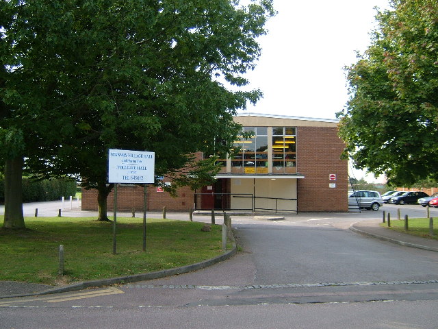
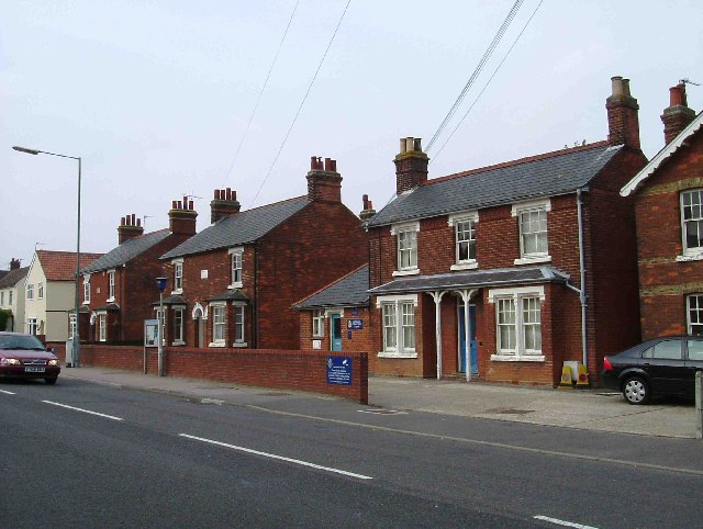
The village is primarily residential, with a mix of traditional cottages and modern houses. There are also a few small businesses and local amenities, including a village hall and a primary school, which serves the local community. The village is well-connected to nearby towns and cities, with good road links to Colchester and the A12, providing easy access to London and other parts of Essex.

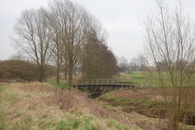
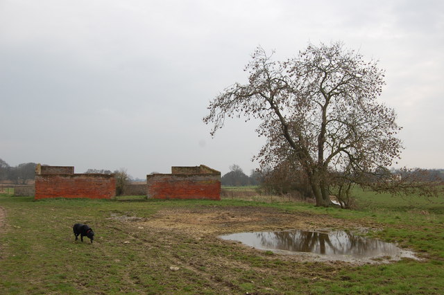
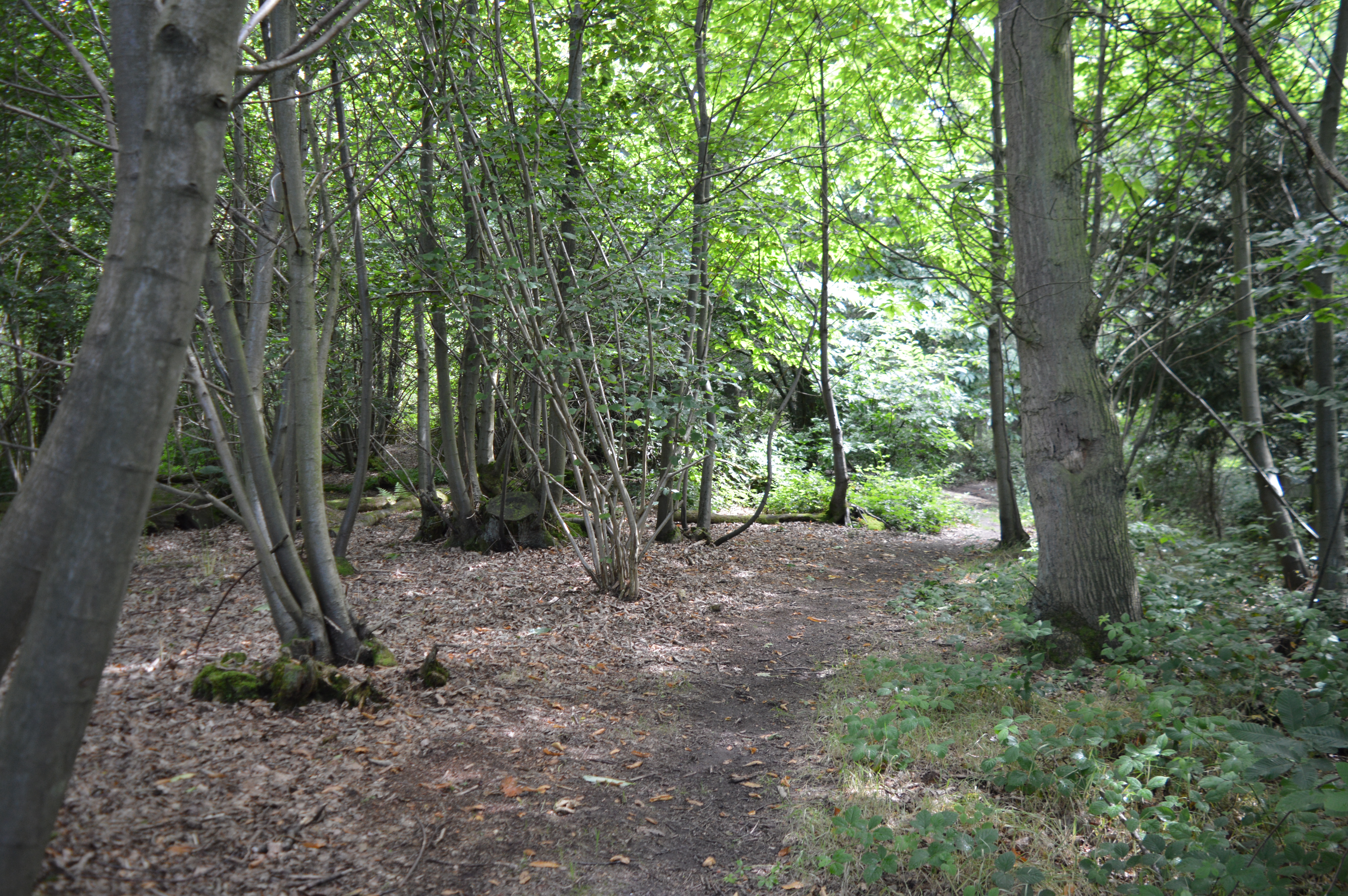
Eight Ash Green boasts several scenic walking paths and nature trails, making it an ideal location for outdoor enthusiasts. The area is also known for its rich wildlife, with a variety of bird species and other animals inhabiting the surrounding countryside.

Overall, Eight Ash Green is a charming rural parish that offers a peaceful and idyllic setting for its residents, while also providing convenient access to nearby urban centers.

If you have any feedback on the listing, please let us know in the comments section below.

Eight Ash Green Images

Images are sourced within 2km of 51.898335/0.814059 or Grid Reference TL9325. Thanks to Geograph Open Source API. All images are credited.

Layby on the A12, Stanway
Field by Brook Road, Aldham
Large tree by New Road, Aldham
House on New Road, Fordstreet
Houses on Halstead Road, Eight Ash Green
Shops on Halstead Road, Eight Ash Green
House on Halstead Road, Eight Ash Green
Roundabout on Halstead Road, Eight Ash Green
The Essex Way 111 - footbridge This bridge over the River Colne carries a footpath which crosses the Essex Way path.
The Essex Way 111 - footbridge
This bridge over the River Colne carries a footpath which crosses the Essex Way path.
The Essex Way 112 - oak tree A magnificent field oak close by the footpath.
The Essex Way 112 - oak tree
A magnificent field oak close by the footpath.
The Essex Way 113 - ruined barn This roofless barn is on the Essex Way as it approaches West Bergholt.
The Essex Way 113 - ruined barn
This roofless barn is on the Essex Way as it approaches West Bergholt.
Bridge over the A12, Eight Ash Green The A12 is a 129 mile long trunk road from London to Great Yarmouth. It runs through Greater London, Essex, Suffolk and Norfolk. It passes by Brentwood, Colchester and Ipswich as well as passing through Lowestoft.
<span class="nowrap"><a title="http://www.sabre-roads.org.uk/wiki/index.php?title=A12" rel="nofollow ugc noopener" href="http://www.sabre-roads.org.uk/wiki/index.php?title=A12">Link</a><img style="margin-left:2px;" alt="External link" title="External link - shift click to open in new window" src="https://s1.geograph.org.uk/img/external.png" width="10" height="10"/></span> 
Wikipedia: <span class="nowrap"><a title="http://en.wikipedia.org/wiki/A12_road_(England)" rel="nofollow ugc noopener" href="http://en.wikipedia.org/wiki/A12_road_(England)">Link</a><img style="margin-left:2px;" alt="External link" title="External link - shift click to open in new window" src="https://s1.geograph.org.uk/img/external.png" width="10" height="10"/></span>
Bridge over the A12, Eight Ash Green
The A12 is a 129 mile long trunk road from London to Great Yarmouth. It runs through Greater London, Essex, Suffolk and Norfolk. It passes by Brentwood, Colchester and Ipswich as well as passing through Lowestoft. LinkExternal link Wikipedia: LinkExternal link
A12 approaching Junction 26 The A12 is a 129 mile long trunk road from London to Great Yarmouth. It runs through Greater London, Essex, Suffolk and Norfolk. It passes by Brentwood, Colchester and Ipswich as well as passing through Lowestoft.
<span class="nowrap"><a title="http://www.sabre-roads.org.uk/wiki/index.php?title=A12" rel="nofollow ugc noopener" href="http://www.sabre-roads.org.uk/wiki/index.php?title=A12">Link</a><img style="margin-left:2px;" alt="External link" title="External link - shift click to open in new window" src="https://s1.geograph.org.uk/img/external.png" width="10" height="10"/></span> 
Wikipedia: <span class="nowrap"><a title="http://en.wikipedia.org/wiki/A12_road_(England)" rel="nofollow ugc noopener" href="http://en.wikipedia.org/wiki/A12_road_(England)">Link</a><img style="margin-left:2px;" alt="External link" title="External link - shift click to open in new window" src="https://s1.geograph.org.uk/img/external.png" width="10" height="10"/></span>
A12 approaching Junction 26
The A12 is a 129 mile long trunk road from London to Great Yarmouth. It runs through Greater London, Essex, Suffolk and Norfolk. It passes by Brentwood, Colchester and Ipswich as well as passing through Lowestoft. LinkExternal link Wikipedia: LinkExternal link
A12, Junction 26 The A12 is a 129 mile long trunk road from London to Great Yarmouth. It runs through Greater London, Essex, Suffolk and Norfolk. It passes by Brentwood, Colchester and Ipswich as well as passing through Lowestoft.
<span class="nowrap"><a title="http://www.sabre-roads.org.uk/wiki/index.php?title=A12" rel="nofollow ugc noopener" href="http://www.sabre-roads.org.uk/wiki/index.php?title=A12">Link</a><img style="margin-left:2px;" alt="External link" title="External link - shift click to open in new window" src="https://s1.geograph.org.uk/img/external.png" width="10" height="10"/></span> 
Wikipedia: <span class="nowrap"><a title="http://en.wikipedia.org/wiki/A12_road_(England)" rel="nofollow ugc noopener" href="http://en.wikipedia.org/wiki/A12_road_(England)">Link</a><img style="margin-left:2px;" alt="External link" title="External link - shift click to open in new window" src="https://s1.geograph.org.uk/img/external.png" width="10" height="10"/></span>
A12, Junction 26
The A12 is a 129 mile long trunk road from London to Great Yarmouth. It runs through Greater London, Essex, Suffolk and Norfolk. It passes by Brentwood, Colchester and Ipswich as well as passing through Lowestoft. LinkExternal link Wikipedia: LinkExternal link
A12, Junction 26 overbridges The A12 is a 129 mile long trunk road from London to Great Yarmouth. It runs through Greater London, Essex, Suffolk and Norfolk. It passes by Brentwood, Colchester and Ipswich as well as passing through Lowestoft.
<span class="nowrap"><a title="http://www.sabre-roads.org.uk/wiki/index.php?title=A12" rel="nofollow ugc noopener" href="http://www.sabre-roads.org.uk/wiki/index.php?title=A12">Link</a><img style="margin-left:2px;" alt="External link" title="External link - shift click to open in new window" src="https://s1.geograph.org.uk/img/external.png" width="10" height="10"/></span> 
Wikipedia: <span class="nowrap"><a title="http://en.wikipedia.org/wiki/A12_road_(England)" rel="nofollow ugc noopener" href="http://en.wikipedia.org/wiki/A12_road_(England)">Link</a><img style="margin-left:2px;" alt="External link" title="External link - shift click to open in new window" src="https://s1.geograph.org.uk/img/external.png" width="10" height="10"/></span>
A12, Junction 26 overbridges
The A12 is a 129 mile long trunk road from London to Great Yarmouth. It runs through Greater London, Essex, Suffolk and Norfolk. It passes by Brentwood, Colchester and Ipswich as well as passing through Lowestoft. LinkExternal link Wikipedia: LinkExternal link
Gantry, A12 The A12 is a 129 mile long trunk road from London to Great Yarmouth. It runs through Greater London, Essex, Suffolk and Norfolk. It passes by Brentwood, Colchester and Ipswich as well as passing through Lowestoft.
<span class="nowrap"><a title="http://www.sabre-roads.org.uk/wiki/index.php?title=A12" rel="nofollow ugc noopener" href="http://www.sabre-roads.org.uk/wiki/index.php?title=A12">Link</a><img style="margin-left:2px;" alt="External link" title="External link - shift click to open in new window" src="https://s1.geograph.org.uk/img/external.png" width="10" height="10"/></span> 
Wikipedia: <span class="nowrap"><a title="http://en.wikipedia.org/wiki/A12_road_(England)" rel="nofollow ugc noopener" href="http://en.wikipedia.org/wiki/A12_road_(England)">Link</a><img style="margin-left:2px;" alt="External link" title="External link - shift click to open in new window" src="https://s1.geograph.org.uk/img/external.png" width="10" height="10"/></span>
Gantry, A12
The A12 is a 129 mile long trunk road from London to Great Yarmouth. It runs through Greater London, Essex, Suffolk and Norfolk. It passes by Brentwood, Colchester and Ipswich as well as passing through Lowestoft. LinkExternal link Wikipedia: LinkExternal link
St Albright, Stanway
Show me another place!

Eight Ash Green is located at Grid Ref: TL9325 (Lat: 51.898335, Lng: 0.814059)

Administrative County: Essex

District: Colchester

Police Authority: Essex

What 3 Words

///buzzing.deflated.walled. Near Eight Ash Green, Essex

Related Wikis

Fordham Heath

Fordham Heath is a hamlet near the A1124 road, in the Colchester district, in the English county of Essex. It is near the large town of Colchester and...

Eight Ash Green

Eight Ash Green is a village and civil parish in the City of Colchester district of Essex, England. It is on the A1124 road, near Junction 26 (Eight Ash...

Iron Latch

Iron Latch is a 4.3-hectare (11-acre) nature reserve in Eight Ash Green, west of Colchester in Essex.The site consists of areas of species-rich grassland...

Stanway, Essex

Stanway is a village and civil parish in Essex, England near Colchester and within Colchester Borough. 'Stanway' is an Anglo-Saxon name for the 'stone...

Fordstreet

Fordstreet or Ford Street is a village on the A1124 road, in the civil parish of Aldham in the Colchester district in Essex, England. It is located on...

Copford

Copford is a village and civil parish in the City of Colchester district of Essex, England. It is 3 kilometres (2 mi) west of Colchester, and the hamlet...

Aldham, Essex

Aldham is a village and civil parish in the City of Colchester district of Essex, England. It is located 4+1⁄2 mi (7.2 km) west of Colchester. The village...

Beacon End

Beacon End is a village in Essex, England. == External links == Media related to Beacon End at Wikimedia Commons

Nearby Amenities

Located within 500m of 51.898335,0.814059
Bus Stop
Wood Corner
Naptan AtcoCode: 150027005007
Naptan Bearing: E
Naptan CommonName: Wood Corner
Naptan Crossing: Wood Lane
Naptan Indicator: E-bound
Naptan Landmark: Wood Corner
Naptan NaptanCode: esxdjmta
Naptan Street: Halstead Road
Naptan Verified: no
Public Transport: platform
Source: naptan_import
Lat/Long: 51.9000724/0.8124559
Wood Corner
Naptan AtcoCode: 150027005Y07
Naptan Bearing: W
Naptan BusStopType: CUS
Naptan CommonName: Wood Corner
Naptan Crossing: Wood Lane
Naptan Indicator: W-bound
Naptan Landmark: Wood Corner
Naptan NaptanCode: esxjajtp
Naptan Street: Halstead Road
Naptan Verified: no
Public Transport: platform
Source: naptan_import
Lat/Long: 51.9000295/0.812366
Wood Lane
Naptan AtcoCode: 150029080012
Naptan Bearing: W
Naptan BusStopType: CUS
Naptan CommonName: Wood Lane
Naptan Indicator: From
Naptan Landmark: Wood Lane
Naptan NaptanCode: esxgdwgj
Naptan Street: Heath Road
Naptan Verified: no
Public Transport: platform
Source: naptan_import
Lat/Long: 51.9025684/0.8137605
Wood Lane
Naptan AtcoCode: 150029080Y12
Naptan Bearing: E
Naptan BusStopType: CUS
Naptan CommonName: Wood Lane
Naptan Indicator: Towards
Naptan Landmark: Wood Lane
Naptan NaptanCode: esxjadgm
Naptan Street: Heath Road
Naptan Verified: no
Public Transport: platform
Source: naptan_import
Lat/Long: 51.9026015/0.8138789
Railway: crossing
Lat/Long: 51.8941664/0.8113626
Bus Stop
Turkey Cock Lane
Naptan AtcoCode: 150027005100
Naptan NaptanCode: esxjgpap
Public Transport: platform
Source: naptan
Lat/Long: 51.8981279/0.8168374
Bus Stop
Turkey Cock Lane
Naptan AtcoCode: 1500270051Y0
Naptan NaptanCode: esxjgpaw
Public Transport: platform
Source: naptan
Lat/Long: 51.897902/0.8172594
Bus Stop
Beech Grove
Naptan AtcoCode: 1500HNR2702Y
Naptan BusStopType: HAR
Naptan NaptanCode: esxjmtwp
Naptan Verified: no
Public Transport: platform
Source: naptan
Lat/Long: 51.9013578/0.813405
Beech Grove
Naptan AtcoCode: 1500HNR2702
Naptan BusStopType: HAR
Naptan NaptanCode: esxjgtgm
Naptan Verified: no
Public Transport: platform
Source: naptan
Lat/Long: 51.9013868/0.8133196
Generator Method: photovoltaic
Generator Output Electricity: yes
Generator Source: solar
Generator Type: solar_photovoltaic_panel
Location: roof
Power: generator
Lat/Long: 51.901943/0.8107325
Generator Method: photovoltaic
Generator Output Electricity: yes
Generator Source: solar
Generator Type: solar_photovoltaic_panel
Location: roof
Power: generator
Lat/Long: 51.9016166/0.8116097
Generator Method: photovoltaic
Generator Output Electricity: yes
Generator Source: solar
Generator Type: solar_photovoltaic_panel
Location: roof
Power: generator
Lat/Long: 51.9016103/0.8117478
Generator Method: photovoltaic
Generator Output Electricity: yes
Generator Source: solar
Generator Type: solar_photovoltaic_panel
Location: roof
Power: generator
Lat/Long: 51.9016054/0.8118584
Generator Method: photovoltaic
Generator Output Electricity: yes
Generator Source: solar
Generator Type: solar_photovoltaic_panel
Location: roof
Power: generator
Lat/Long: 51.901559/0.8119416
Generator Method: photovoltaic
Generator Output Electricity: yes
Generator Source: solar
Generator Type: solar_photovoltaic_panel
Location: roof
Power: generator
Lat/Long: 51.9015545/0.8119985
Generator Method: photovoltaic
Generator Output Electricity: yes
Generator Source: solar
Generator Type: solar_photovoltaic_panel
Location: roof
Power: generator
Lat/Long: 51.9012757/0.8118074
Generator Method: photovoltaic
Generator Output Electricity: yes
Generator Source: solar
Generator Type: solar_photovoltaic_panel
Location: roof
Power: generator
Lat/Long: 51.9011056/0.811682
Generator Method: photovoltaic
Generator Output Electricity: yes
Generator Source: solar
Generator Type: solar_photovoltaic_panel
Location: roof
Power: generator
Lat/Long: 51.9010493/0.8116579
Generator Method: photovoltaic
Generator Output Electricity: yes
Generator Source: solar
Generator Type: solar_photovoltaic_panel
Location: roof
Power: generator
Lat/Long: 51.9009454/0.8113856
Generator Method: photovoltaic
Generator Output Electricity: yes
Generator Source: solar
Generator Type: solar_photovoltaic_panel
Location: roof
Power: generator
Lat/Long: 51.9009616/0.811214
Generator Method: photovoltaic
Generator Output Electricity: yes
Generator Source: solar
Generator Type: solar_photovoltaic_panel
Location: roof
Power: generator
Lat/Long: 51.9011018/0.8105897
Generator Method: photovoltaic
Generator Output Electricity: yes
Generator Source: solar
Generator Type: solar_photovoltaic_panel
Location: roof
Power: generator
Lat/Long: 51.9009931/0.8108807
Generator Method: photovoltaic
Generator Output Electricity: yes
Generator Source: solar
Generator Type: solar_photovoltaic_panel
Location: roof
Power: generator
Lat/Long: 51.9010021/0.8107949
Fuel
Brand: Esso
Lat/Long: 51.8998966/0.8124078
The data included in this document is from www.openstreetmap.org. The data is made available under ODbL.

Have you been to Eight Ash Green?

Leave your review of Eight Ash Green below (or comments, questions and feedback).