Egton

Civil Parish in Yorkshire Scarborough

England

Egton

Marker stone by the road
Marker stone by the road Credit: David Brown

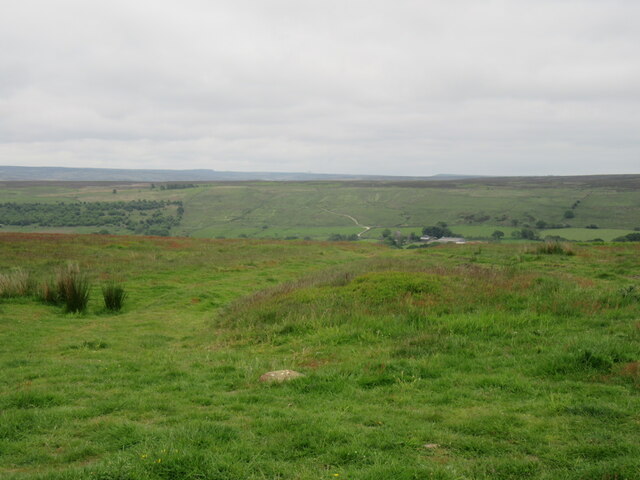
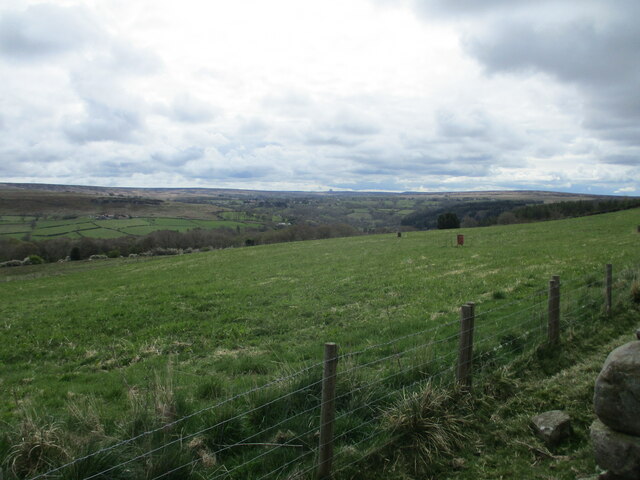
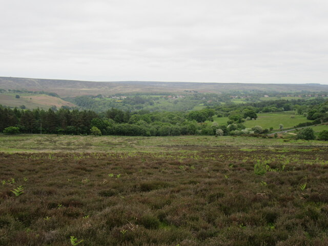
Egton is a civil parish located in the county of North Yorkshire, in the region of Yorkshire and the Humber, England. It is situated within the North York Moors National Park, approximately 10 miles southwest of the town of Whitby. The parish covers an area of about 12 square miles and is bounded by the Eskdale Valley to the north and the Glaisdale Valley to the south.

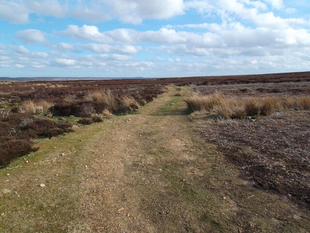
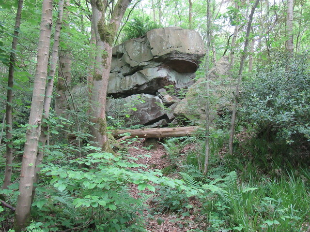
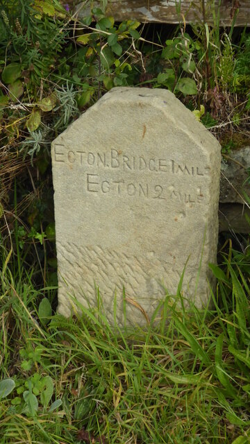
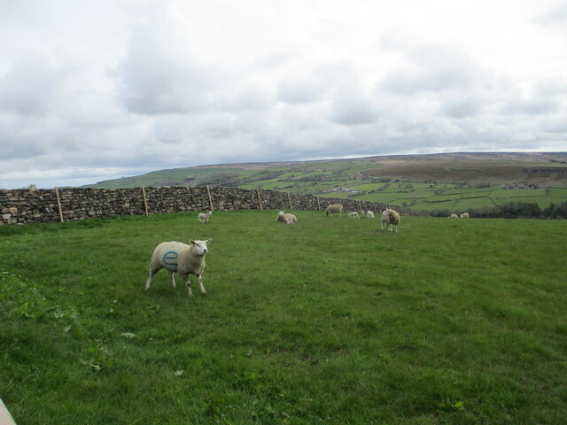
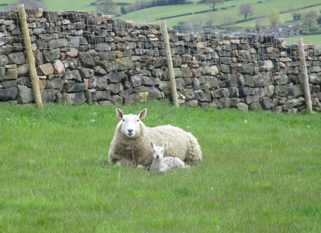
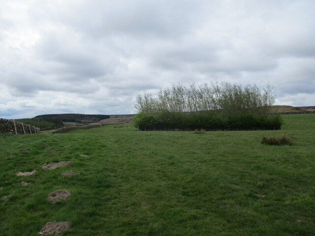
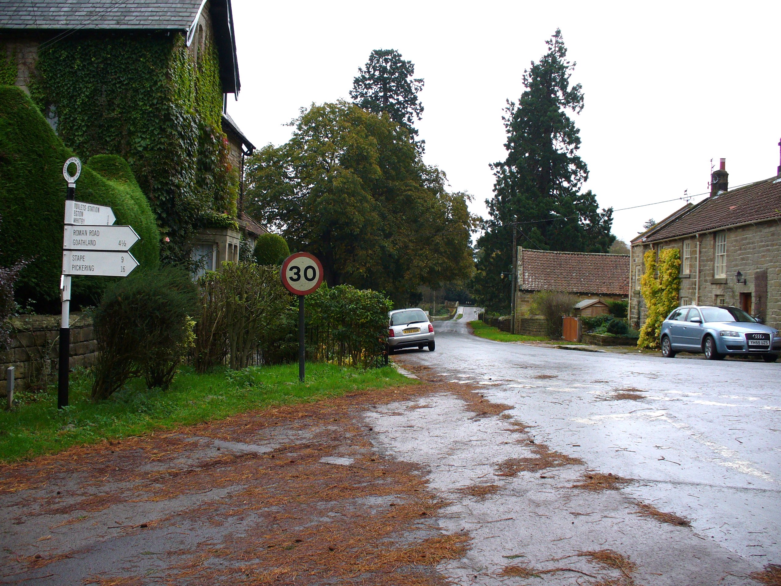
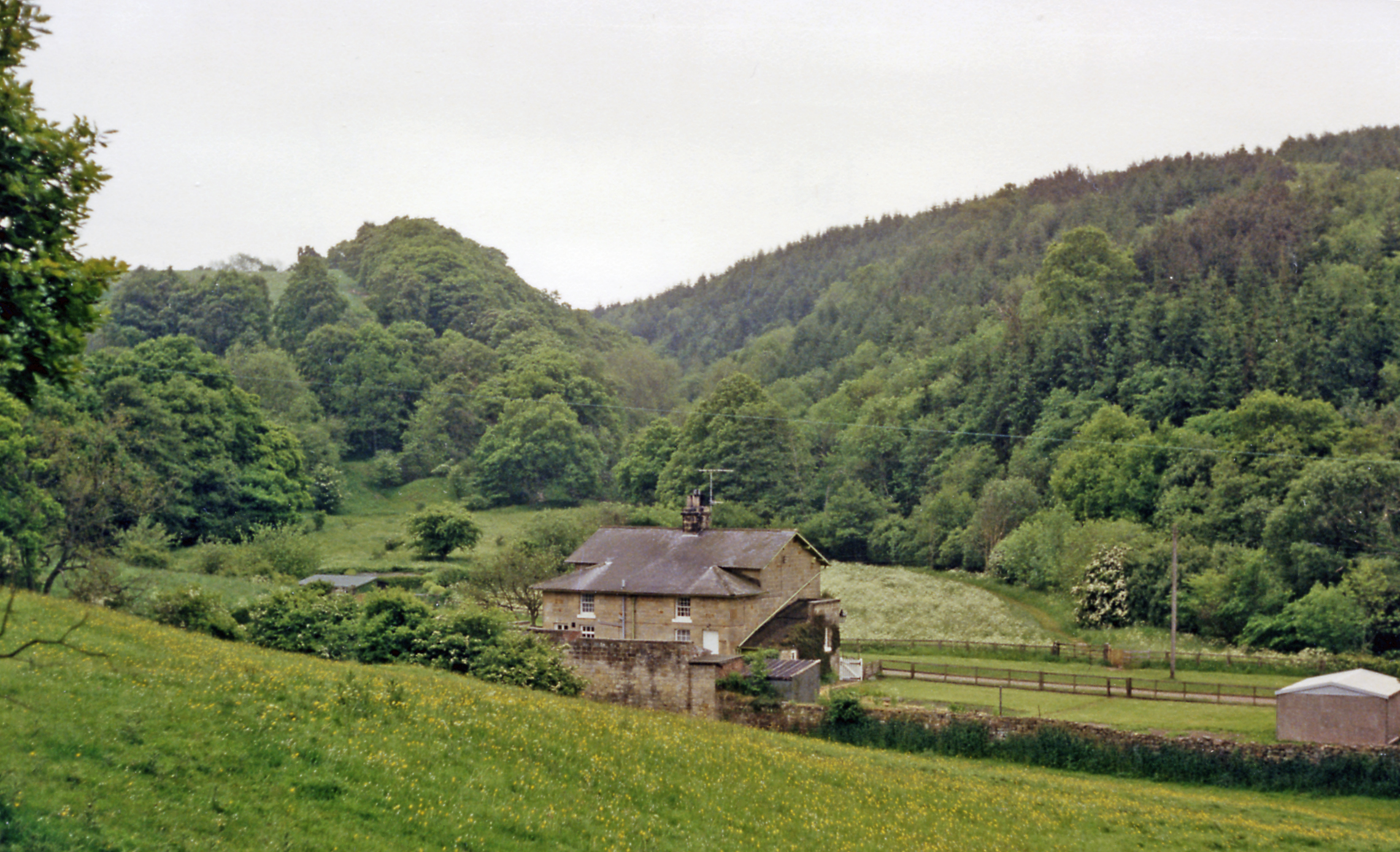
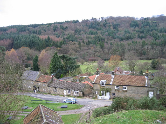
Egton is a rural area characterized by its picturesque landscape, with rolling hills, woodlands, and moorland. It is known for its natural beauty and is a popular destination for outdoor activities such as hiking, cycling, and birdwatching. The village of Egton Bridge is the main settlement within the parish, and it is renowned for its historic stone bridge, which dates back to the 17th century.

The parish has a population of around 500 people, according to the latest available data. The economy of Egton is primarily based on agriculture and tourism, with a number of farms and local businesses catering to visitors. The area is also home to the annual Egton Show, a traditional agricultural show that has been running for over 150 years, attracting exhibitors and spectators from all over the region.

Egton offers a peaceful and idyllic setting, with a close-knit community and a strong sense of local pride. It is a place where visitors can enjoy the tranquility of the countryside, explore its natural wonders, and experience the charm of a traditional Yorkshire village.

If you have any feedback on the listing, please let us know in the comments section below.

Egton Images

Images are sourced within 2km of 54.414947/-0.775525 or Grid Reference NZ7902. Thanks to Geograph Open Source API. All images are credited.

Marker stone by the road
Moorland track, Murk Mire Moor
Solitary tree at head of Birchwath Slack
Rocky outcrop in East Arncliffe Woods In East Arncliffe Woods.
Rocky outcrop in East Arncliffe Woods
In East Arncliffe Woods.
At the top of the hill Looking east across the Butter Beck valley.
At the top of the hill
Looking east across the Butter Beck valley.
Modern Waymarker by Delves Lane The Modern Waymarker is located against the front garden wall of the Grade II* Listed Delves Cottage on the North of the road.  Parish of Egton (Scarborough District). Carved stone post, erected in the 20th Century. 

Inscription reads:-  
EGTON BRIDGE 1 MILE / EGTON 2 MILES  

Milestone Society National ID: YN_XEGT
Modern Waymarker by Delves Lane
The Modern Waymarker is located against the front garden wall of the Grade II* Listed Delves Cottage on the North of the road.  Parish of Egton (Scarborough District). Carved stone post, erected in the 20th Century. Inscription reads:- EGTON BRIDGE 1 MILE / EGTON 2 MILES Milestone Society National ID: YN_XEGT
Sheep  and  Lambs  on  a  high  pasture With a good view over the Murk Esk valley from the bridleway crossing fields toward the lane near High Hollins Farm
Sheep and Lambs on a high pasture
With a good view over the Murk Esk valley from the bridleway crossing fields toward the lane near High Hollins Farm
An  alert  Ewe  and  Lamb The dry stone wall behind has been re-erected and further protected by post and wire fencing at the top
An alert Ewe and Lamb
The dry stone wall behind has been re-erected and further protected by post and wire fencing at the top
Sheep  and  Lamb  marked  with  a  letter  ? Unusual, with a large flock numbers are used
Sheep and Lamb marked with a letter ?
Unusual, with a large flock numbers are used
Trees  marking  fenced  off  pond  area  in  field
Trees marking fenced off pond area in field
Open view  over  the  Murk  Esk  valley RAF Fylingdale can be seen on the centre skyline
Open view over the Murk Esk valley
RAF Fylingdale can be seen on the centre skyline
View  to  the  Esk  Valley Over a jumble of ruined dry stone wall toward the Esk Valley which comes from the left to the centre distance and the sea at Whitby. Whitby Abbey is the little bump on the centre skyline
View to the Esk Valley
Over a jumble of ruined dry stone wall toward the Esk Valley which comes from the left to the centre distance and the sea at Whitby. Whitby Abbey is the little bump on the centre skyline
Beef  cow  in  field  at  Low  Hollins  Farm
Beef cow in field at Low Hollins Farm
Murk Mire Moor Looking east towards Goathland.
Murk Mire Moor
Looking east towards Goathland.
Murk Esk Valley Looking east across the Murk Esk Valley.
Murk Esk Valley
Looking east across the Murk Esk Valley.
Small pool beside the bridleway in East Arnecliff Wood
Track to Shooting House, Egton High Moor
Track on Egton High Moor OS gives the impression that this is a substantial track but the reality is little more than faint vehicle tracks over crushed heather.
Track on Egton High Moor
OS gives the impression that this is a substantial track but the reality is little more than faint vehicle tracks over crushed heather.
Show me another place!

Egton is located at Grid Ref: NZ7902 (Lat: 54.414947, Lng: -0.775525)

Division: North Riding

Administrative County: North Yorkshire

District: Scarborough

Police Authority: North Yorkshire

What 3 Words

///hopefully.plankton.wisely. Near Sleights, North Yorkshire

Nearby Locations

Egton Murk Mire Moor

Related Wikis

Egton Manor

Egton Manor is an historic country house near the village of Egton Bridge, on the banks of the River Esk in the North Yorkshire Moors. The Grade II listed...

Egton Bridge

Egton Bridge is a village in the Scarborough district of North Yorkshire, England. It lies within the North York Moors National Park, on the River Esk...

Beckhole railway station

Beckhole railway station was a railway station at Beck Hole in the North Yorkshire Moors on part of the original Whitby and Pickering Railway line. Although...

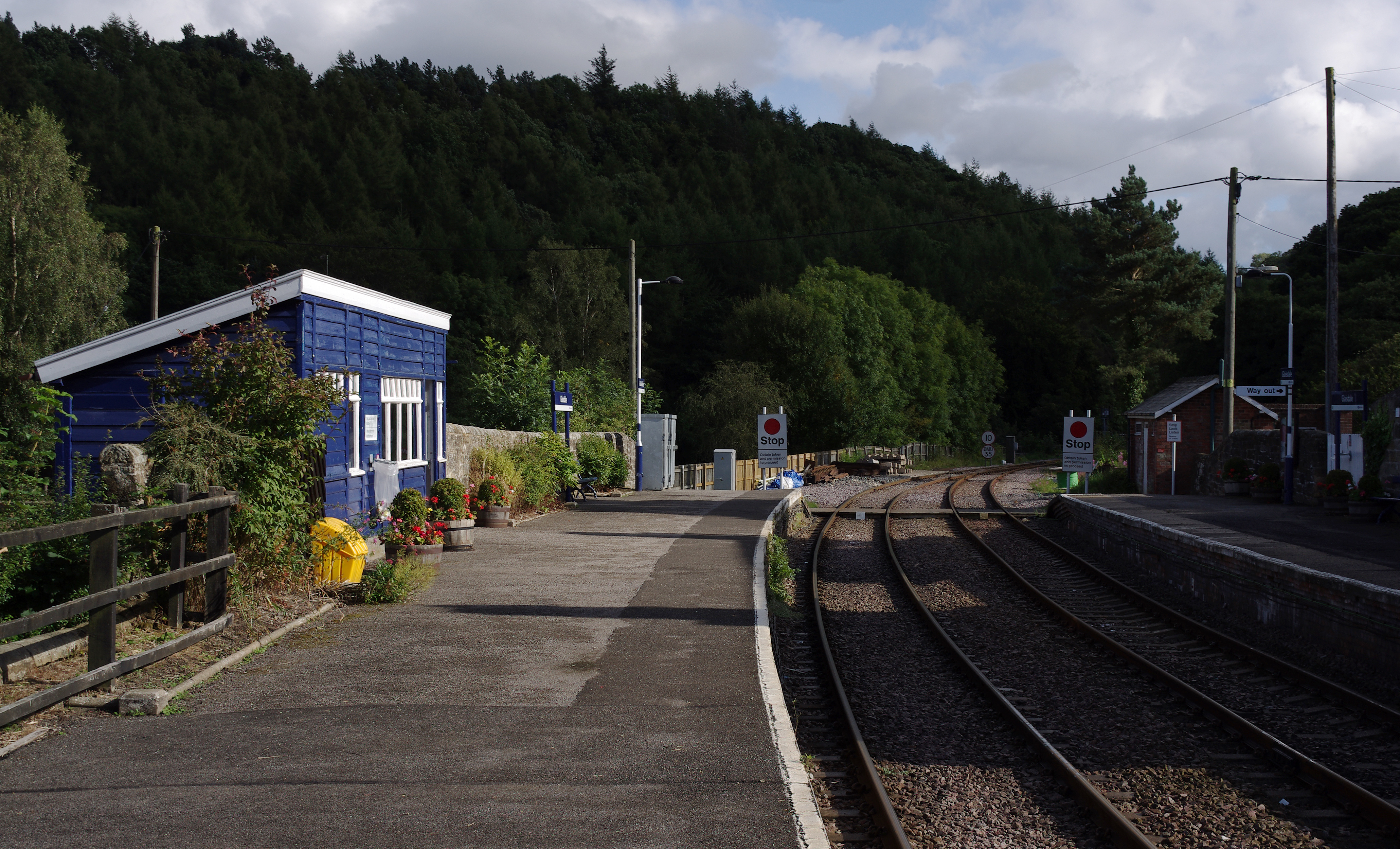
Egton railway station

Egton is a railway station on the Esk Valley Line, which runs between Middlesbrough and Whitby via Nunthorpe. The station, situated 7 miles 66 chains...

Birch Hall Inn

Birch Hall Inn is a public house founded around 1860 in Beck Hole in the North York Moors, England. It is designated as a Grade II listed building. It...

Beck Hole

Beck Hole is a small valley village in the Borough of Scarborough, North Yorkshire, England. The village lies within the Goathland civil parish and the...

Glaisdale railway station

Glaisdale is a railway station on the Esk Valley Line, which runs between Middlesbrough and Whitby via Nunthorpe. The station, situated 9 miles 33 chains...

St Hilda's Church, Egton

St Hilda's church, Egton, is a Church of England church in Egton, North Yorkshire, built in 1879 and designed by local architect E. H. Smales. St Hilda...

Nearby Amenities

Located within 500m of 54.414947,-0.775525
Leisure: bird_hide
Lat/Long: 54.4144975/-0.7709293
Leisure: bird_hide
Lat/Long: 54.4142666/-0.7700493
Leisure: bird_hide
Lat/Long: 54.4140607/-0.7692371
Leisure: bird_hide
Lat/Long: 54.4138243/-0.7683263
The data included in this document is from www.openstreetmap.org. The data is made available under ODbL.

Have you been to Egton?

Leave your review of Egton below (or comments, questions and feedback).