Egremont
Civil Parish in Cumberland Copeland
England
Egremont

Egremont is a civil parish located in the county of Cumberland, England. It is situated in the western part of the county, near the coast of the Irish Sea. The parish covers an area of approximately 4 square miles and has a population of around 6,000 residents.
Egremont is known for its rich history, dating back to Roman times. The area was once a major center for iron mining and steel production, with several mines and furnaces operating in the 19th century. Today, remnants of this industrial past can still be seen in the form of old mine buildings and railway tracks.
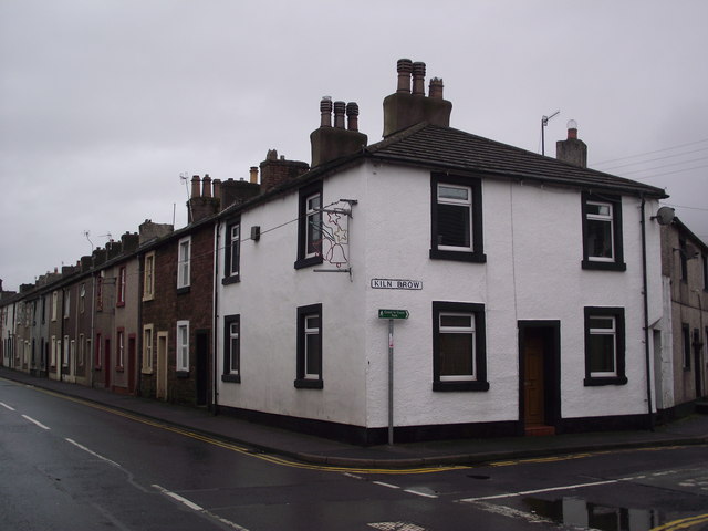
The town of Egremont itself is a charming and picturesque place, with a mix of historic buildings and modern amenities. It has a traditional market square, where a weekly market takes place, offering a variety of goods and produce. The town also has a range of shops, cafes, and pubs, providing for the needs and entertainment of its residents.
Surrounded by beautiful countryside, Egremont offers plenty of opportunities for outdoor activities and exploration. The nearby Lake District National Park provides stunning landscapes and walking trails for nature enthusiasts. Additionally, the coast offers sandy beaches and coastal walks, making it a popular destination for tourists.
Overall, Egremont is a vibrant and historic parish with a close-knit community, offering a mix of history, natural beauty, and modern amenities.
If you have any feedback on the listing, please let us know in the comments section below.
Egremont Images
Images are sourced within 2km of 54.494415/-3.534248 or Grid Reference NY0012. Thanks to Geograph Open Source API. All images are credited.


Egremont is located at Grid Ref: NY0012 (Lat: 54.494415, Lng: -3.534248)
Administrative County: Cumbria
District: Copeland
Police Authority: Cumbria
What 3 Words
///events.automatic.fats. Near Egremont, Cumbria
Related Wikis
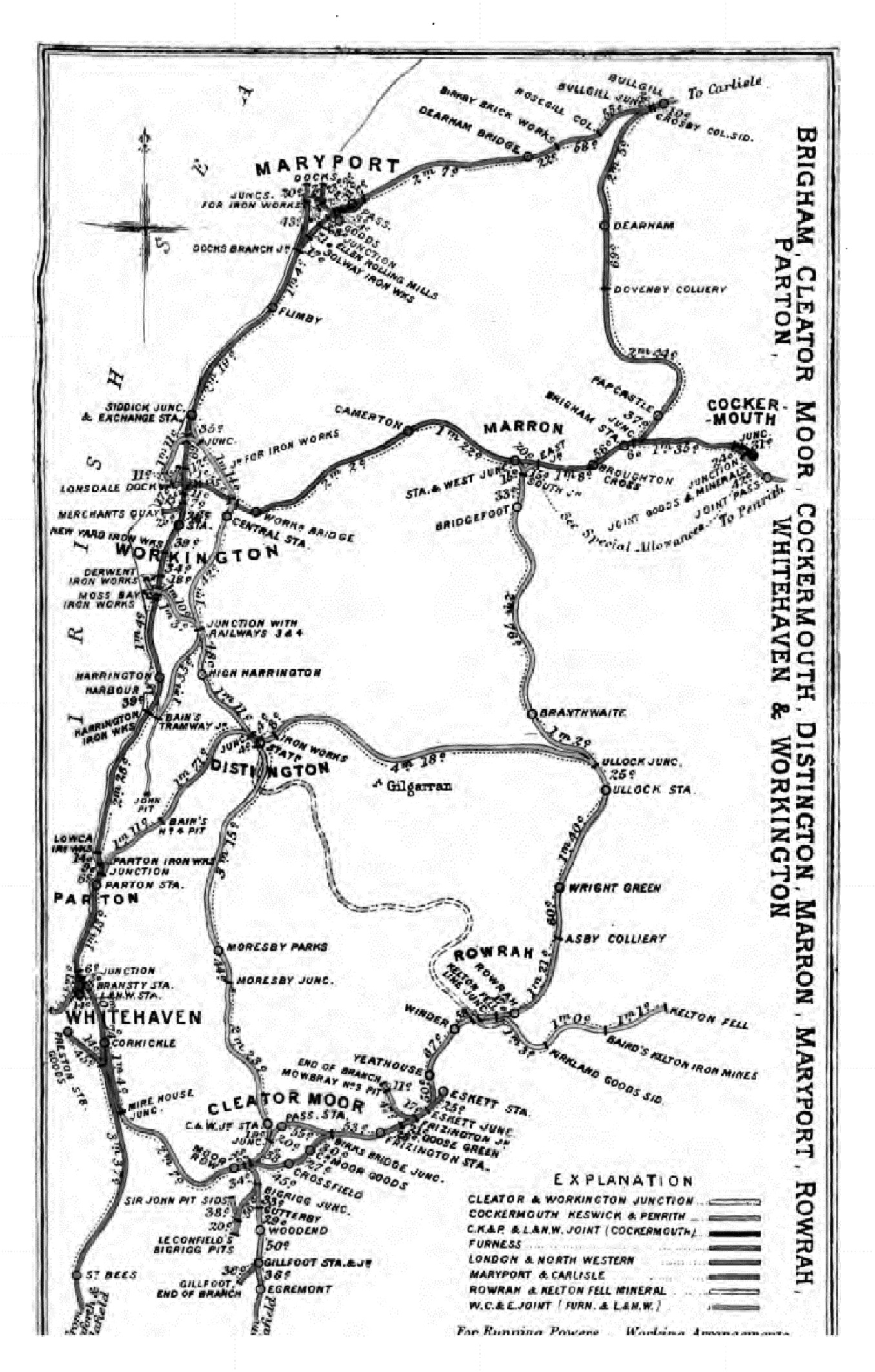
Gillfoot railway station
Gillfoot railway station was on the Whitehaven, Cleator and Egremont Railway line half a mile north of Egremont station, in Cumbria, England. == History... ==

Woodend, Egremont
Woodend is a village near Egremont, Cumbria, England. The village had a station on the Whitehaven, Cleator and Egremont Railway but it closed in 1947....

Woodend railway station
Woodend railway station (formally known as "Woodend for Cleator and Bigrigg") was planned by the Whitehaven, Cleator and Egremont Railway on its Sellafield...

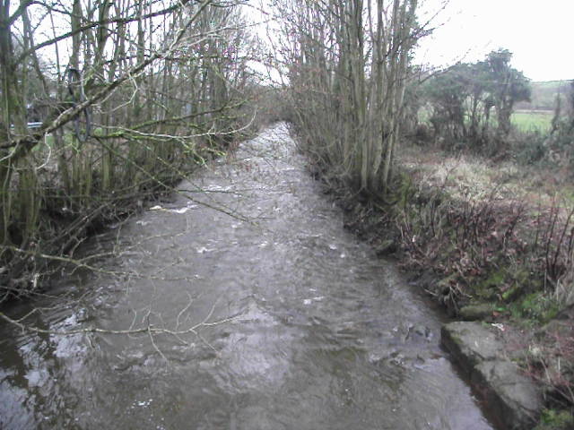
River Keekle
The River Keekle is a river running through the English county of Cumbria. The source of the Keekle is to be found at Keekle Head Farm on High Park between...
Nearby Amenities
Located within 500m of 54.494415,-3.534248Have you been to Egremont?
Leave your review of Egremont below (or comments, questions and feedback).