Edgton

Civil Parish in Shropshire

England

Edgton

The Fish is down the hill and The Wart is straight on
The Fish is down the hill and The Wart is straight on Credit: Row17

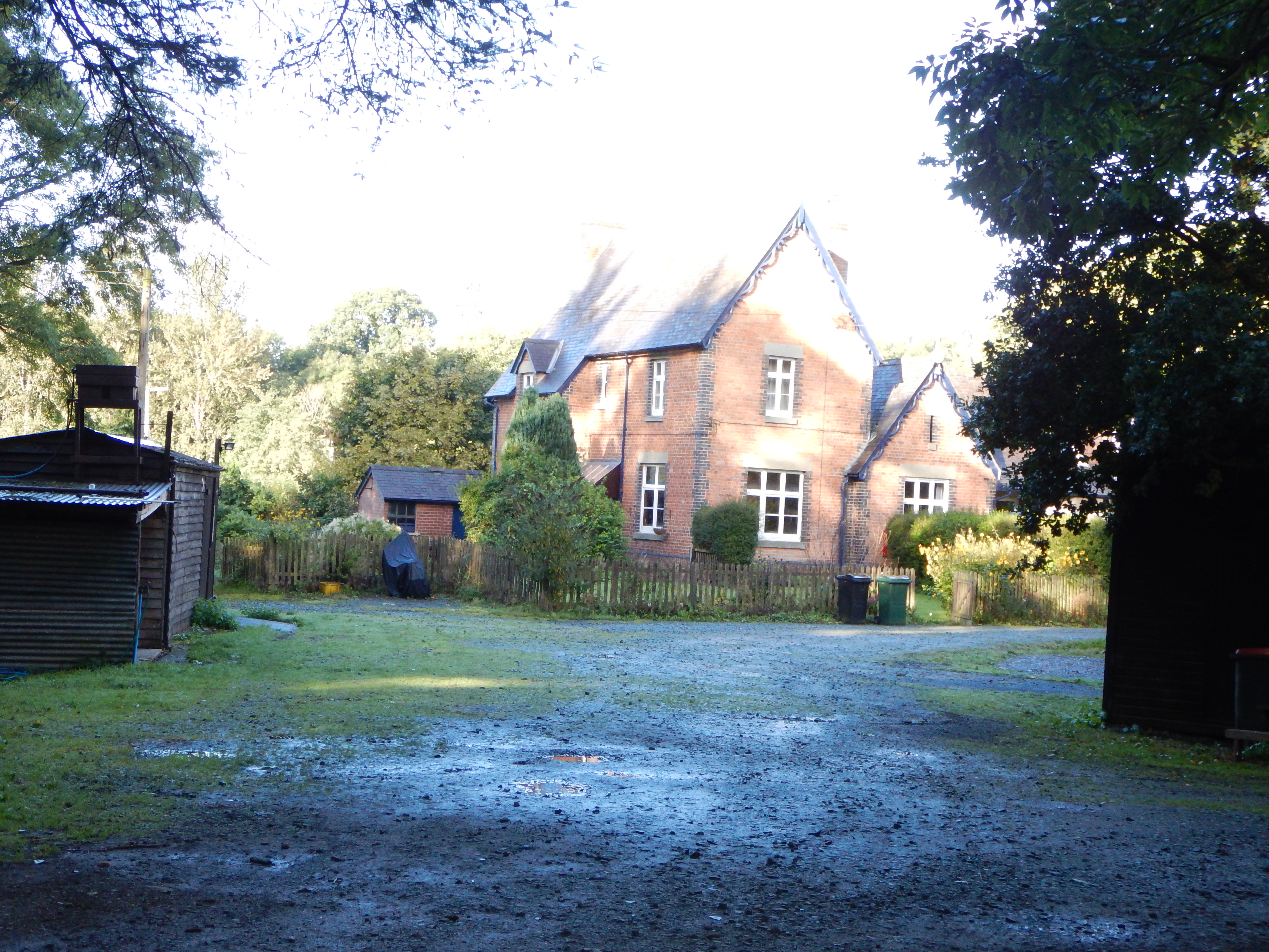
Edgton is a civil parish located in the county of Shropshire, England. Situated in the picturesque South Shropshire Hills, this rural area is known for its stunning natural beauty and tranquil surroundings. The parish is part of the larger district of Shropshire and is home to a small population.

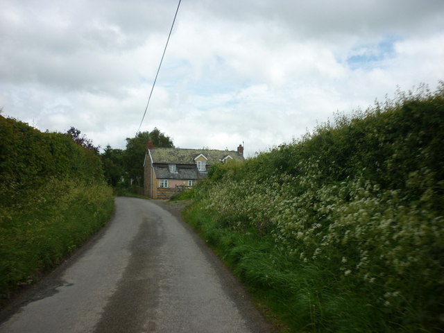
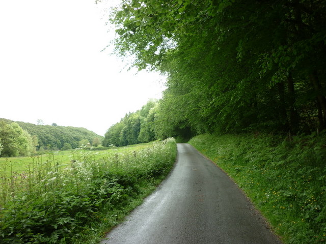
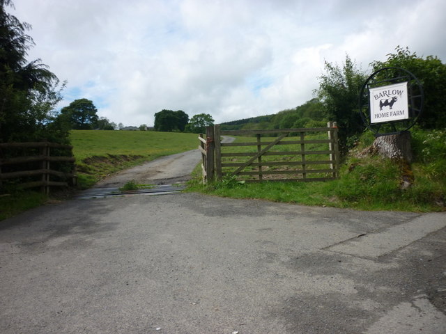
Edgton is characterized by its rolling hills, green fields, and charming countryside. It is surrounded by other small parishes and villages, creating a close-knit and community-oriented atmosphere. The landscape is predominantly agricultural, with farming being a significant part of the local economy.

One notable feature of Edgton is its historic church, St. Michael and All Angels. This Grade II listed building dates back to the 12th century and is a testament to the area's rich heritage. The church serves as a focal point for community events and religious gatherings.

Despite its small size, Edgton offers a range of amenities to its residents and visitors. These include a village hall, a primary school, and a local pub. The village hall serves as a hub for various social activities and events, while the primary school provides education for the younger population.

For those seeking outdoor activities, the surrounding area offers excellent opportunities for walking, hiking, and exploring the countryside. Nearby attractions include the Long Mynd, a popular spot for outdoor enthusiasts, and the quaint market town of Church Stretton, which is only a short drive away.

Overall, Edgton is a charming and idyllic village in Shropshire, offering a peaceful retreat and a close community spirit amidst the beauty of the South Shropshire Hills.

If you have any feedback on the listing, please let us know in the comments section below.
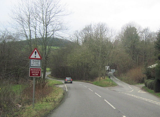
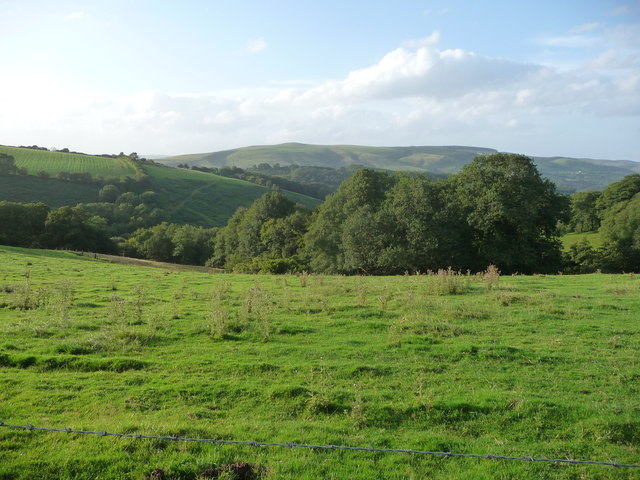
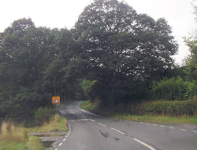
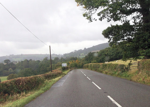
Edgton Images

Images are sourced within 2km of 52.465303/-2.906463 or Grid Reference SO3885. Thanks to Geograph Open Source API. All images are credited.

The Fish is down the hill and The Wart is straight on
Minor road at Lynchgate leading to Edgton
Both roads lead to Edgton
Edgton Cross, Edgton
Turn right for Hopesay
A minor road to Hopesay
The way to Barlow Home Farm
The way to Park Cottage off the A489
Park Cottage and garden
Bend on B4589 at Red House Bridge East of Lydbury North
Bend on B4589 at Red House Bridge
East of Lydbury North
Road junction at Plowden From westbound A489 at Park Cottage
Road junction at Plowden
From westbound A489 at Park Cottage
Lane junction in Round Oak Shropshire has its share of intriguing place names, but 'The Fish' is surely right up there with the best.
Lane junction in Round Oak
Shropshire has its share of intriguing place names, but 'The Fish' is surely right up there with the best.
Road sign at Round Oak Nice accoutrement.
Road sign at Round Oak
Nice accoutrement.
View to the southern end of the Long Mynd from near Upper Carwood Black Knoll is visible on the ridge up. A fave walk of mine is all along the Long Mynd from the southern end northwards.
View to the southern end of the Long Mynd from near Upper Carwood
Black Knoll is visible on the ridge up. A fave walk of mine is all along the Long Mynd from the southern end northwards.
A489 from Hillend Cottage
A489 east of Plowden
Reengineered crossroads A former crossroads has been realigned to improve safe progress (the dominant road turns through ninety degrees here). A hedge was also moved to improve visibility.
Reengineered crossroads
A former crossroads has been realigned to improve safe progress (the dominant road turns through ninety degrees here). A hedge was also moved to improve visibility.
Grit bin These bins are usually found beside steep unclassified roads.
Grit bin
These bins are usually found beside steep unclassified roads.
Show me another place!

Edgton is located at Grid Ref: SO3885 (Lat: 52.465303, Lng: -2.906463)

Unitary Authority: Shropshire

Police Authority: West Mercia

What 3 Words

///emulated.recitals.cycles. Near Craven Arms, Shropshire

Related Wikis

Edgton

Edgton is a small village and civil parish in Shropshire, England. It is also an ecclesiastical parish and a chapelry. It lies in a rather remote and very...

Plowden railway station

Plowden railway station was a station in Plowden, Shropshire, England. The station was opened in February 1866 and closed on 20 April 1935. == See also... ==

Plowden, Shropshire

Plowden is a hamlet in the parish of Lydbury North, Shropshire, England. It is in the valley of the River Onny and lies 3 miles east of Bishop's Castle...

Hopesay

Hopesay is a small village, and civil parish, in south Shropshire, England. The population of the parish at the 2011 census was 561.The name 'Hopesay'...

Nearby Amenities

Located within 500m of 52.465303,-2.906463
Edgton
Place: village
Wikidata: Q3811417
Lat/Long: 52.466728/-2.9033621
Power: pole
Lat/Long: 52.4683691/-2.9012355
Power: pole
Lat/Long: 52.4682792/-2.9028395
Power: pole
Lat/Long: 52.4682449/-2.9037032
Power: pole
Lat/Long: 52.4682024/-2.9046258
Power: pole
Lat/Long: 52.4681452/-2.9057309
Power: pole
Lat/Long: 52.4680848/-2.9068252
Power: pole
Lat/Long: 52.468039/-2.907984
Power: pole
Lat/Long: 52.4679034/-2.9101592
Power: pole
Lat/Long: 52.4678625/-2.9112884
Power: pole
Lat/Long: 52.4677923/-2.9123184
Power: pole
Lat/Long: 52.4630909/-2.9119402
Power: pole
Lat/Long: 52.4630272/-2.9104757
Power: pole
Lat/Long: 52.4629275/-2.9088047
Power: pole
Lat/Long: 52.4628295/-2.9070345
Power: pole
Lat/Long: 52.4634766/-2.9017237
Power: pole
Lat/Long: 52.4631432/-2.9014233
Power: pole
Lat/Long: 52.4625664/-2.9008922
Power: pole
Lat/Long: 52.4621758/-2.9048565
Generator Method: photovoltaic
Generator Output Electricity: yes
Generator Source: solar
Generator Type: solar_photovoltaic_panel
Location: roof
Power: generator
Lat/Long: 52.4660536/-2.9038802
The data included in this document is from www.openstreetmap.org. The data is made available under ODbL.

Have you been to Edgton?

Leave your review of Edgton below (or comments, questions and feedback).