Edgmond

Civil Parish in Shropshire

England

Edgmond

Oak Tree in winter
Oak Tree in winter Credit: Geoff White

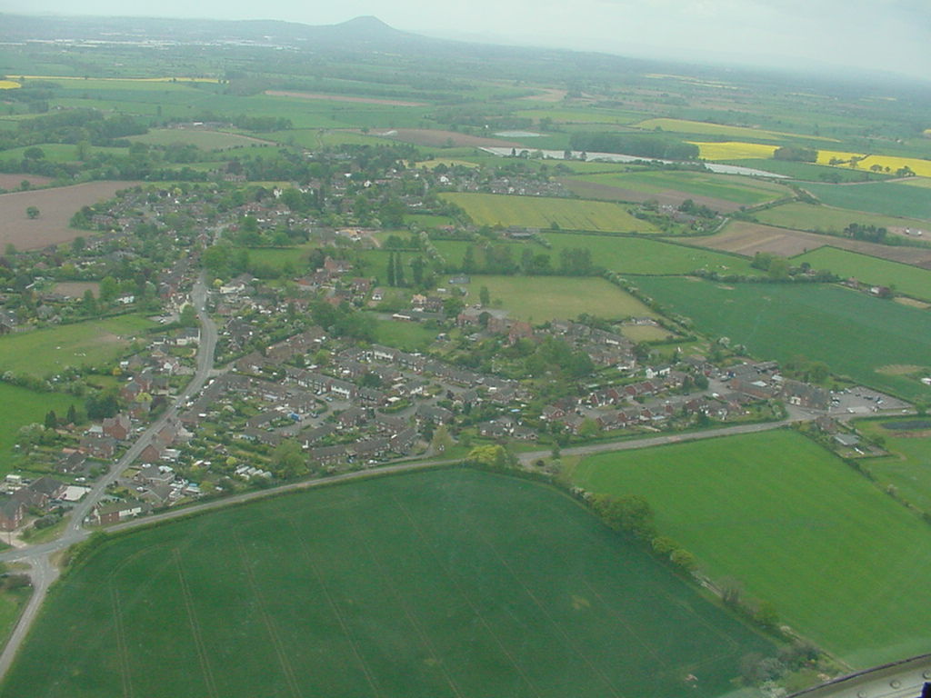
Edgmond is a civil parish located in the county of Shropshire, England. Situated approximately 6 miles north of Telford, the parish covers an area of around 6 square miles and has a population of around 1,500 people.

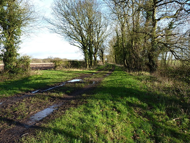
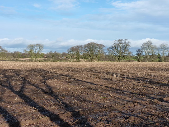
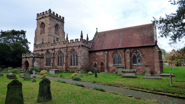
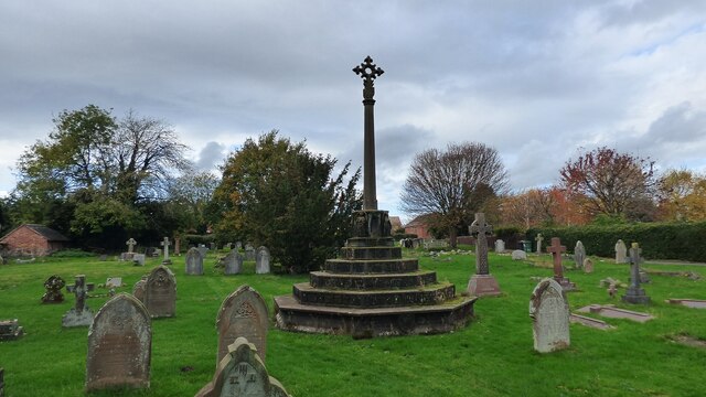
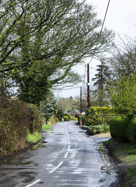
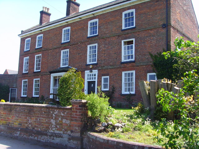
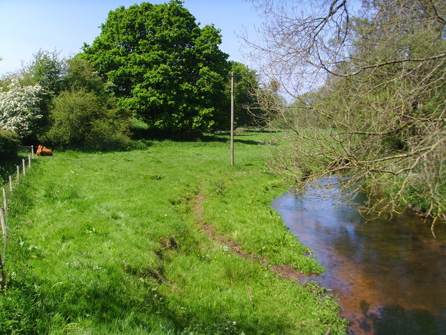
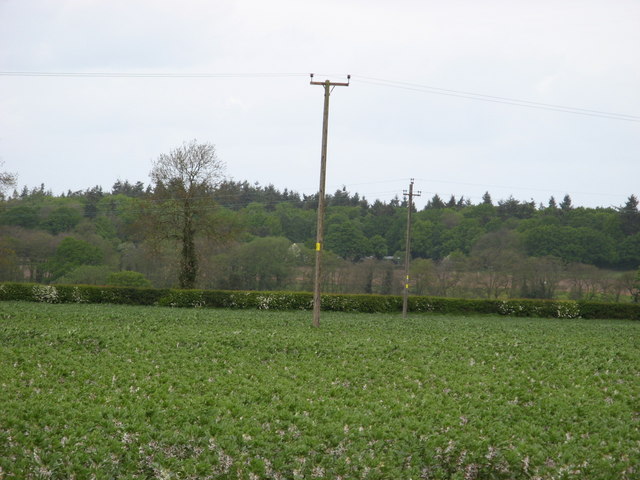
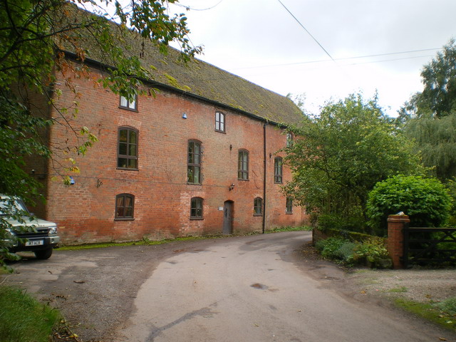
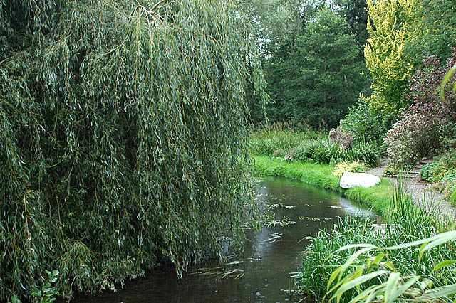
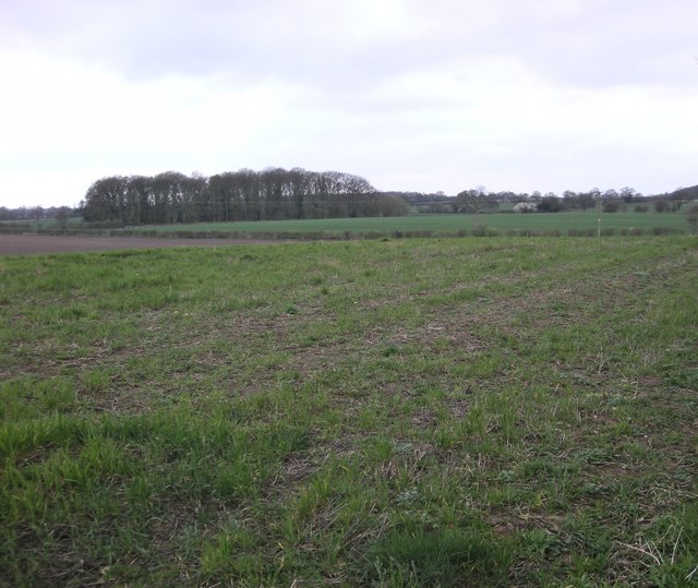
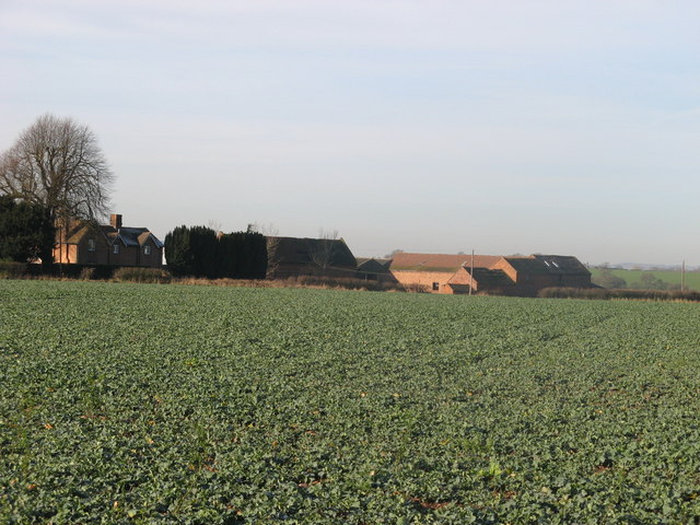
The village of Edgmond is known for its picturesque countryside, with rolling fields and charming rural landscapes. The area is largely agricultural, with farming playing a significant role in the local economy. The village itself is characterized by a mix of traditional and modern architecture, including a number of historic buildings such as the Grade II listed St. Peter's Church, which dates back to the 12th century.

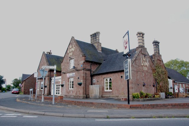
In addition to its natural beauty, Edgmond offers a range of amenities and services to its residents. These include a primary school, a village hall, a community center, and a local pub. The parish is also home to several active community groups and organizations, which contribute to the strong sense of community spirit in the area.

Edgmond benefits from its proximity to larger towns such as Telford, which provide access to a wider range of services, employment opportunities, and leisure activities. The nearby A41 road also offers convenient transportation links to other parts of the county.

Overall, Edgmond is a peaceful and picturesque civil parish, offering a rural lifestyle with easy access to nearby towns and amenities. Its strong community spirit and natural beauty make it an attractive place to live or visit.

If you have any feedback on the listing, please let us know in the comments section below.
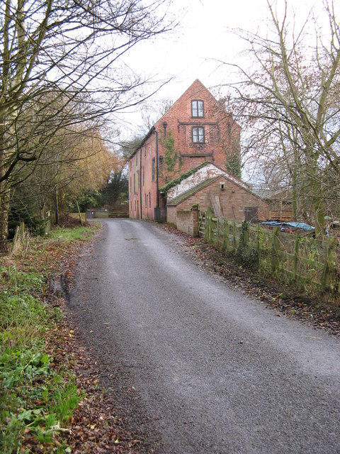
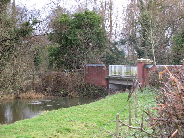
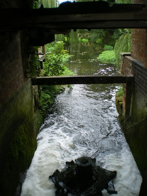
Edgmond Images

Images are sourced within 2km of 52.782074/-2.431054 or Grid Reference SJ7120. Thanks to Geograph Open Source API. All images are credited.

Oak Tree in winter
Oak Tree in winter
Green Lane south of Wood Farm Along the bridleway that runs from Tibberton towards Caynton Manor.
Green Lane south of Wood Farm
Along the bridleway that runs from Tibberton towards Caynton Manor.
Empty field south of Wood Farm With the stalks of last year's crop still standing. The River Meese runs just out of sight in the middle distance, on its way towards the north of Tibberton.
Empty field south of Wood Farm
With the stalks of last year's crop still standing. The River Meese runs just out of sight in the middle distance, on its way towards the north of Tibberton.
Lion Inn, Edgmond The Ordnance Survey Datum Line Benchmark cut into the Lion Inn, Edgmond, Shropshire. The Crow's Foot arrow has been destroyed but the Datum Line remains. It has been exposed from under several coats of masonry paint during renovation of the pub.
Lion Inn, Edgmond
The Ordnance Survey Datum Line Benchmark cut into the Lion Inn, Edgmond, Shropshire. The Crow's Foot arrow has been destroyed but the Datum Line remains. It has been exposed from under several coats of masonry paint during renovation of the pub.
Sunnyside, High Street, Edgmond The OS Benchmark cut into sandstone garden wall of the Sunnyside property on High Street, Edgmond Shropshire. The OS historical maps indicate that it was cut into the wall before 1882
Sunnyside, High Street, Edgmond
The OS Benchmark cut into sandstone garden wall of the Sunnyside property on High Street, Edgmond Shropshire. The OS historical maps indicate that it was cut into the wall before 1882
Church of St Peter, Edgmond <span class="nowrap"><a title="https://historicengland.org.uk/listing/the-list/list-entry/1054183?section=official-list-entry" rel="nofollow ugc noopener" href="https://historicengland.org.uk/listing/the-list/list-entry/1054183?section=official-list-entry">Link</a><img style="margin-left:2px;" alt="External link" title="External link - shift click to open in new window" src="https://s1.geograph.org.uk/img/external.png" width="10" height="10"/></span>
Church of St Peter, Edgmond
Churchyard Cross, Edgmond
Newport Road, Edgmond Newport Road at a bend heading out of Edgmond towards Newport.
Newport Road, Edgmond
Newport Road at a bend heading out of Edgmond towards Newport.
Caynton Manor
Caynton Manor
River Meese Restful cow in the shade near River Meese.
River Meese
Restful cow in the shade near River Meese.
Beans. A field of beans,near to Tibberton Manor.
Beans.
A field of beans,near to Tibberton Manor.
Caynton  Mill A converted mill, on the River Meese.
Caynton Mill
A converted mill, on the River Meese.
Road  Bridge A small road bridge over the River Meese, near to Caynton Mill.
Road Bridge
A small road bridge over the River Meese, near to Caynton Mill.
The mill wheel race at Caynton Old Mill
Caynton Mill from the east A fine old mill building, converted to a residence these days.
Caynton Mill from the east
A fine old mill building, converted to a residence these days.
The leat at Caynton Mill
Chetwynd Grange Farmland Looking from near the lay by on the A41.
Chetwynd Grange Farmland
Looking from near the lay by on the A41.
The Lamb Inn, Edgmond
Show me another place!

Edgmond is located at Grid Ref: SJ7120 (Lat: 52.782074, Lng: -2.431054)

Unitary Authority: Telford and Wrekin

Police Authority: West Mercia

What 3 Words

///president.wiped.workroom. Near Edgmond, Shropshire

Nearby Locations

Edgmond Edgmond Marsh

Related Wikis

Harper Adams University

Harper Adams University, founded in 1901 as Harper Adams College, is a public university located close to the village of Edgmond, near Newport, in Shropshire...

St Peter's Church, Edgmond

St. Peter's Church is in the village of Edgmond, Shropshire, England. The church is an active Anglican parish church in the deanery of Edgmond and Shifnal...

Edgmond

Edgmond is a village in the borough of Telford and Wrekin and ceremonial county of Shropshire, England. The village population at the 2011 Census was 2...

Adeney

Adeney is a hamlet in the English county of Shropshire, in the civil parish of Edgmond. Its name was formerly also spelt Adney, and derives from an Old...

Chetwynd, Shropshire

Chetwynd is a rural civil parish just to the north of Newport, Shropshire in England. Although the parish contains no substantial nucleated settlements...

Talbot Chapel, Longford

Talbot Chapel is the remaining part of a redundant Anglican church in the village of Longford, Shropshire, England. It has been designated by English...

Chetwynd Park estate

The Chetwynd Park estate lies in the small village of Chetwynd on the outskirts of the town of Newport, Shropshire, England. The estate is positioned in...

Longford, Telford and Wrekin

Longford is a village and former civil parish, now in the parish of Church Aston, in the Telford and Wrekin district, in the ceremonial county of Shropshire...

Nearby Amenities

Located within 500m of 52.782074,-2.431054
Crossing: uncontrolled
Lat/Long: 52.7812509/-2.427647
Entrance: main
Lat/Long: 52.7793593/-2.427007
Entrance: yes
Lat/Long: 52.779616/-2.4273939
Crossing: uncontrolled
Lat/Long: 52.7796622/-2.427508
Entrance: main
Lat/Long: 52.7800928/-2.4260364
Entrance: main
Lat/Long: 52.7803686/-2.4273916
Crossing: uncontrolled
Lat/Long: 52.7811015/-2.4279254
Post Box
Post Box Mounting: brick_pillar
Post Box Type: wall
Royal Cypher: EIIR
Royal Cypher Wikidata: Q33102113
Lat/Long: 52.7797486/-2.4269632
The data included in this document is from www.openstreetmap.org. The data is made available under ODbL.

Have you been to Edgmond?

Leave your review of Edgmond below (or comments, questions and feedback).