Edenham

Civil Parish in Lincolnshire South Kesteven

England

Edenham

St. Michael, Edenham
St. Michael, Edenham Credit: Geoff Pick

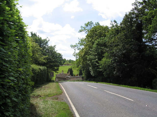
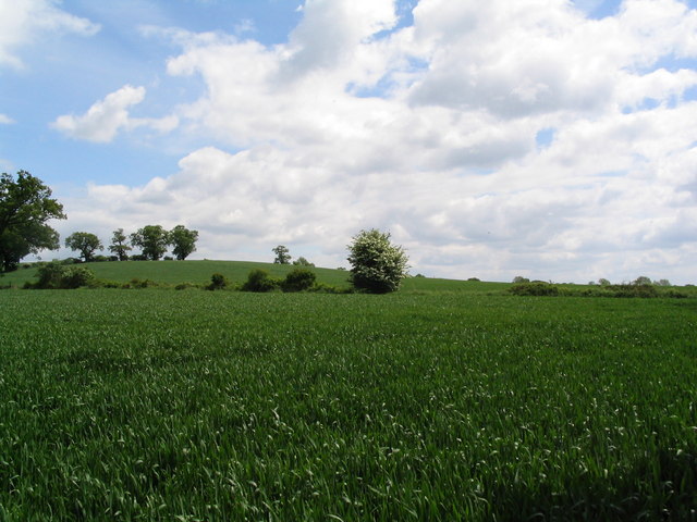
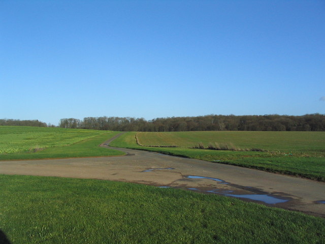
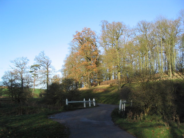
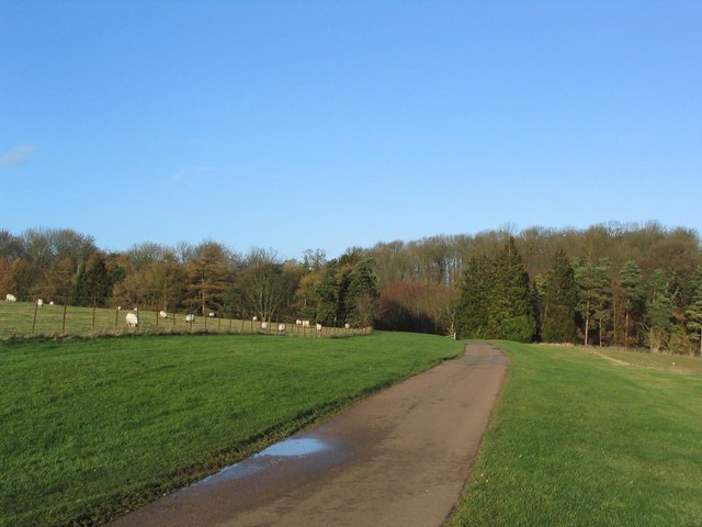
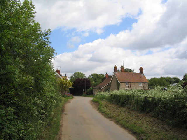
Edenham is a civil parish located in the county of Lincolnshire, England. Situated approximately 10 miles southwest of the town of Bourne, Edenham covers an area of around 2,600 acres. The village itself is nestled in the picturesque countryside, surrounded by rolling hills, farmland, and charming rural landscapes.

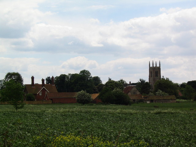
With a population of just over 400 residents, Edenham is a small and close-knit community. The village is known for its historic and architectural significance, with several listed buildings dotting its landscape. One notable landmark is Edenham Church, dedicated to St. Michael and All Angels, which dates back to the 12th century. The church boasts a stunning Norman doorway and a medieval stained glass window.

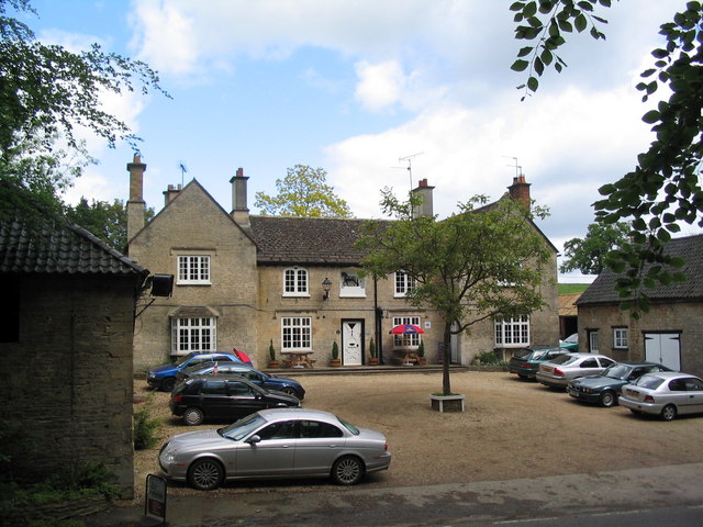
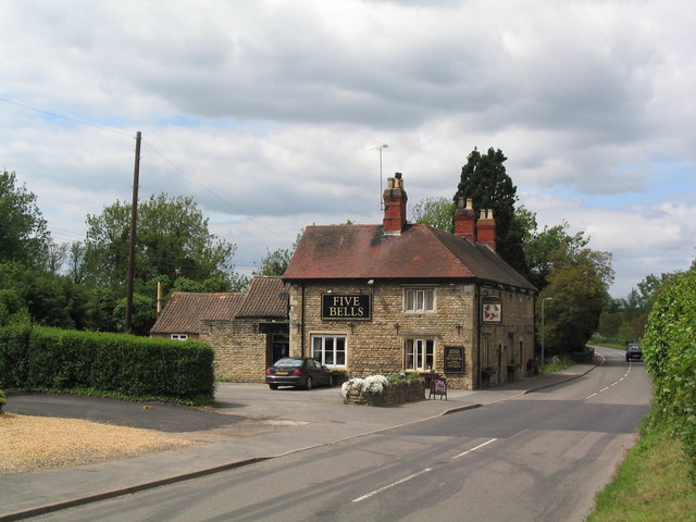
The village offers a range of amenities to its residents, including a village hall, a primary school, and a pub. The village hall hosts various community events throughout the year, bringing residents together to celebrate local traditions.

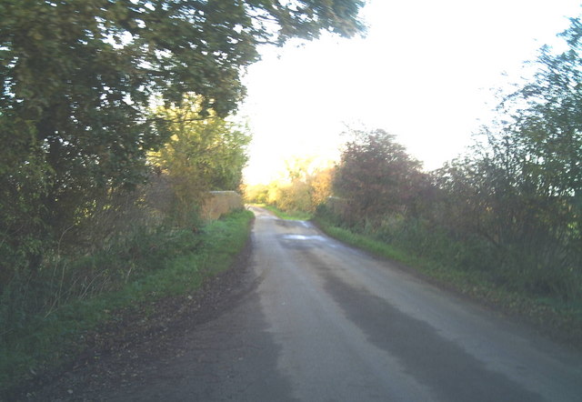
Edenham is also a popular destination for outdoor enthusiasts, thanks to its proximity to the Lincolnshire Wolds Area of Outstanding Natural Beauty. The area offers opportunities for walking, cycling, and exploring the picturesque countryside.

Overall, Edenham is a tranquil and idyllic village, with a rich history and a strong sense of community. Its natural beauty and charming architecture make it an attractive place to live or visit for those seeking a peaceful and picturesque rural retreat.

If you have any feedback on the listing, please let us know in the comments section below.

Edenham Images

Images are sourced within 2km of 52.782285/-0.444912 or Grid Reference TF0421. Thanks to Geograph Open Source API. All images are credited.

St. Michael, Edenham
Grimsthorpe Castle Looking down North Avenue
Grimsthorpe Castle
Looking down North Avenue
The Black Horse, Grimsthorpe Now open for business again
The Black Horse, Grimsthorpe
Now open for business again
Entering Grimsthorpe
Barley fields north of Edenham
Edenham from the north
The Five Bells at Edenham
The sewage works at Edenham Which discharges into my dear friend, the East Glen River.
The sewage works at Edenham
Which discharges into my dear friend, the East Glen River.
Estate cottages, Scottlethorpe road
Tumble Row Farm, Scottlethorpe
View north from near Scottlethorpe Grange The road to Scottlethorpe runs across a valley in the middle distance and (invisibly) through the woods on the horizon
View north from near Scottlethorpe Grange
The road to Scottlethorpe runs across a valley in the middle distance and (invisibly) through the woods on the horizon
Shetland ponies in a paddock Shetland ponies.
Shetland ponies in a paddock
Shetland ponies.
Brick road bridge over the River Glen near Elsthorpe Hump-back brick-built bridge over the River Glen, near Elsthorpe.
Brick road bridge over the River Glen near Elsthorpe
Hump-back brick-built bridge over the River Glen, near Elsthorpe.
Road junction, Grimsthorpe Park The main road through the Park. Running from Chestnut Avenue to the south (bottom right), towards the castle at the north end of the Park (top).
Road junction, Grimsthorpe Park
The main road through the Park. Running from Chestnut Avenue to the south (bottom right), towards the castle at the north end of the Park (top).
'Pots and Pans', Grimsthorpe Park Bumpy ground marking former quarry. Extraction of good quality limestone remains an important activity in the area.
'Pots and Pans', Grimsthorpe Park
Bumpy ground marking former quarry. Extraction of good quality limestone remains an important activity in the area.
Bridge leading to 'The Vaudey', Grimsthorpe Park The stream leaving from the lake south of Grimsthorpe Castle runs through a valley named 'Vallis Dei' (Valley of God, now 'Vaudey') by Cistercian monks who founded an abbey here in the 12th century.
Bridge leading to 'The Vaudey', Grimsthorpe Park
The stream leaving from the lake south of Grimsthorpe Castle runs through a valley named 'Vallis Dei' (Valley of God, now 'Vaudey') by Cistercian monks who founded an abbey here in the 12th century.
Grimsthorpe Park
Grimsthorpe Park
Grimsthorpe Lake The southern end of the lake, with Grimsthorpe Castle in the distance
Grimsthorpe Lake
The southern end of the lake, with Grimsthorpe Castle in the distance
Show me another place!

Edenham is located at Grid Ref: TF0421 (Lat: 52.782285, Lng: -0.444912)

Administrative County: Lincolnshire

District: South Kesteven

Police Authority: Lincolnshire

What 3 Words

///airbrush.whizzed.enormous. Near Bourne, Lincolnshire

Related Wikis

South Kesteven Rural District

South Kesteven was a rural district in Lincolnshire, Parts of Kesteven in England from 1931 to 1974. It was formed under a County Review Order in 1931...

Edenham railway station

Edenham railway station was a station in Edenham, Lincolnshire. It was the terminus of a four-mile branch line from the Great Northern Railway at Little...

Edenham

Edenham ( EDD-ən-əm) is a village and civil parish in the South Kesteven district of Lincolnshire, England. It is approximately 3 miles (5 km) north-west...
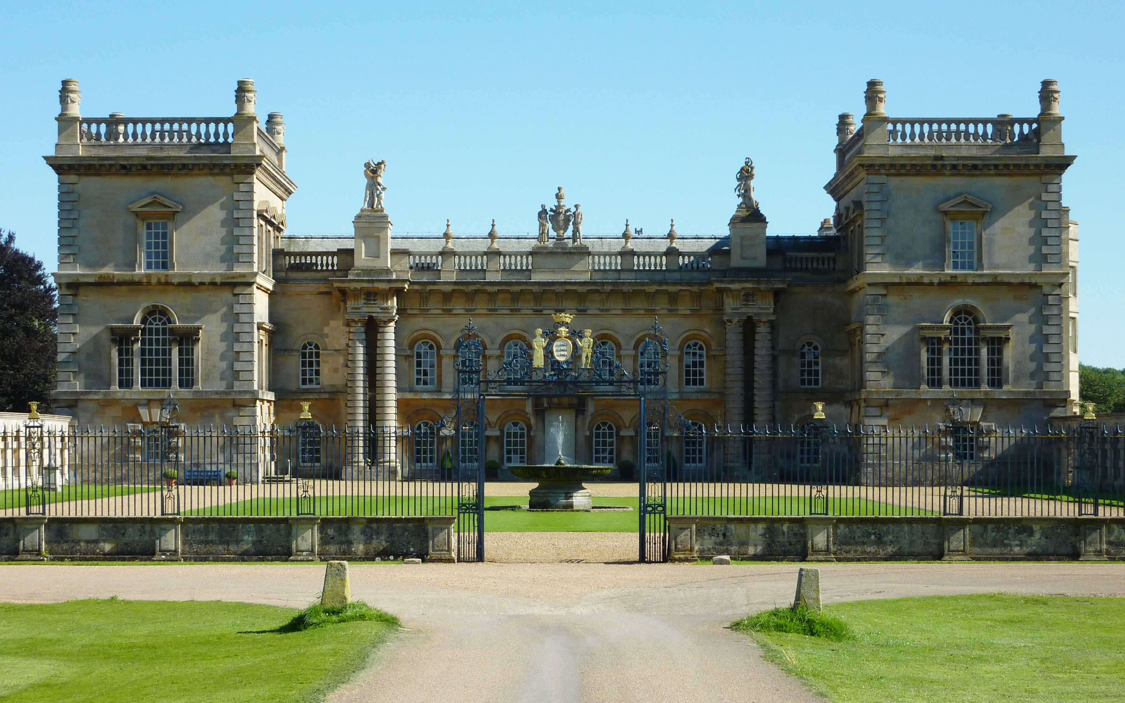
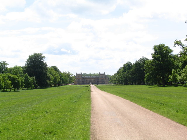
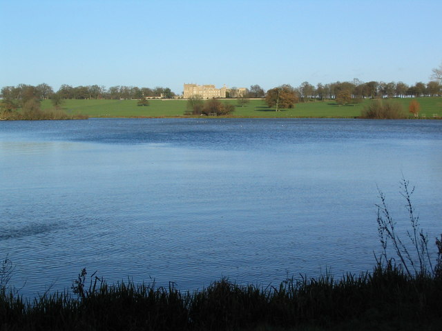
Grimsthorpe Castle

Grimsthorpe Castle is a country house in Lincolnshire, England 4 miles (6.4 km) north-west of Bourne on the A151. It lies within a 3,000 acre (12 km2)...

Scottlethorpe

Scottlethorpe is a village in the South Kesteven district of Lincolnshire, England. It is situated approximately 3 miles (4.8 km) north-west from Bourne...

Grimsthorpe

Grimsthorpe is a hamlet in the South Kesteven district of Lincolnshire, England. It is situated on the A151 road, and 3 miles (5 km) north-west from Bourne...

Vaudey Abbey

Vaudey Abbey , also known as Vandy Abbey or Vandey Abbey, was an English Cistercian abbey. It was founded in 1147 by William, Count of Aumale, Earl of...

Elsthorpe

Elsthorpe is a hamlet in the South Kesteven district of Lincolnshire, England. It is situated 5 miles (8 km) north-west from the town of Bourne, and in...

Nearby Amenities

Located within 500m of 52.782285,-0.444912
Ele: 34.0000000
Lat/Long: 52.7848299/-0.4397964
Barrier: stile
Ele: 35.0000000
Steps: 2
Stile: stepover
Lat/Long: 52.7849469/-0.4398424
Ele: 35.0000000
Lat/Long: 52.7851392/-0.4408745
Barrier: stile
Ele: 41.0000000
Steps: 2
Stile: stepover
Lat/Long: 52.7857331/-0.4443058
Ele: 41.0000000
Lat/Long: 52.7857294/-0.4443193
Ele: 41.0000000
Lat/Long: 52.7857209/-0.4443481
Ele: 58.0000000
Lat/Long: 52.7847808/-0.4491586
Ele: 58.0000000
Lat/Long: 52.7847574/-0.4495104
Ele: 62.0000000
Lat/Long: 52.7847731/-0.4499056
Ele: 50.0000000
Lat/Long: 52.7852091/-0.4471356
Ele: 51.0000000
Lat/Long: 52.7848169/-0.447159
Ele: 54.0000000
Lat/Long: 52.7847803/-0.4482968
Ele: 59.0000000
Lat/Long: 52.7847958/-0.4496696
Ele: 54.0000000
Lat/Long: 52.7848218/-0.4483929
Power: tower
Lat/Long: 52.7840586/-0.4382177
The data included in this document is from www.openstreetmap.org. The data is made available under ODbL.

Have you been to Edenham?

Leave your review of Edenham below (or comments, questions and feedback).