Aldgate
Settlement in Rutland
England
Aldgate

Aldgate is a small village located in Rutland, England. Situated in the East Midlands region, it is nestled within the picturesque countryside, offering residents and visitors a serene and idyllic setting. Aldgate is part of the Rutland local government district, which is known for its rich history and natural beauty.
The village itself is characterized by its traditional English charm, with quaint cottages and historic buildings dotting the landscape. The village center is home to a few local amenities, including a village hall, a small convenience store, and a charming pub where locals gather.
Surrounded by rolling hills and lush green fields, Aldgate is a haven for nature enthusiasts. The village is located near Rutland Water, a large artificial reservoir that offers a range of recreational activities such as sailing, fishing, and birdwatching. The reservoir is also home to a nature reserve, providing a habitat for various bird species, including ospreys.
Aldgate is well-connected to the larger towns and cities in the region. The nearby town of Oakham is just a short drive away and offers a wider range of amenities, including shops, restaurants, and schools. The village also benefits from good transport links, with regular bus services connecting it to surrounding areas.
Overall, Aldgate in Rutland is a charming and peaceful village, offering a tranquil countryside lifestyle with easy access to nearby amenities and natural attractions.
If you have any feedback on the listing, please let us know in the comments section below.
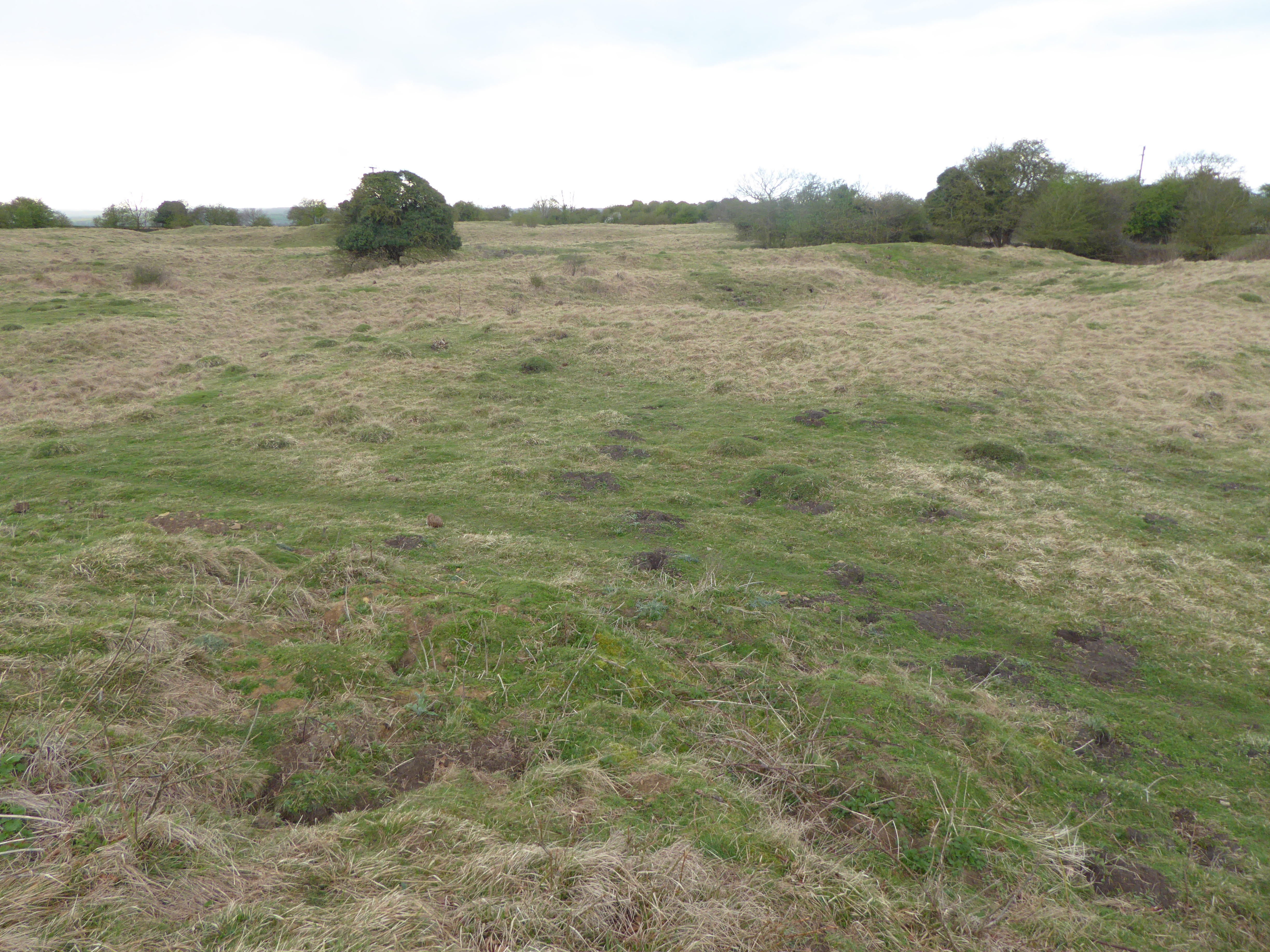
Aldgate Images
Images are sourced within 2km of 52.627303/-0.54456 or Grid Reference SK9804. Thanks to Geograph Open Source API. All images are credited.


Aldgate is located at Grid Ref: SK9804 (Lat: 52.627303, Lng: -0.54456)
Unitary Authority: Rutland
Police Authority: Leicestershire
What 3 Words
///tangling.moats.rental. Near Ketton, Rutland
Nearby Locations
Related Wikis
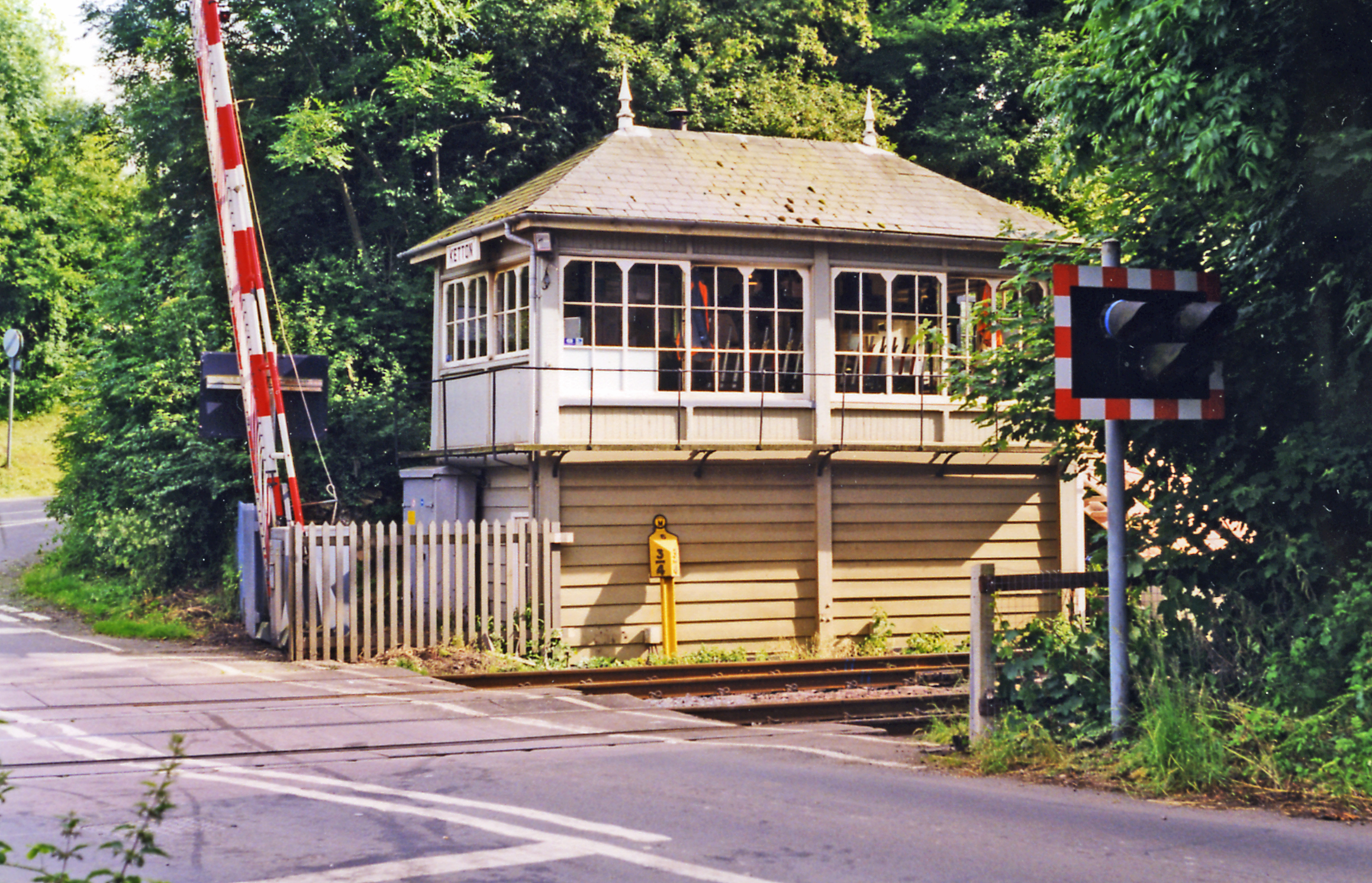
Ketton and Collyweston railway station
Ketton and Collyweston railway station is a former station serving the villages of Ketton, Geeston, Aldgate and Collyweston, Rutland. It is located in...
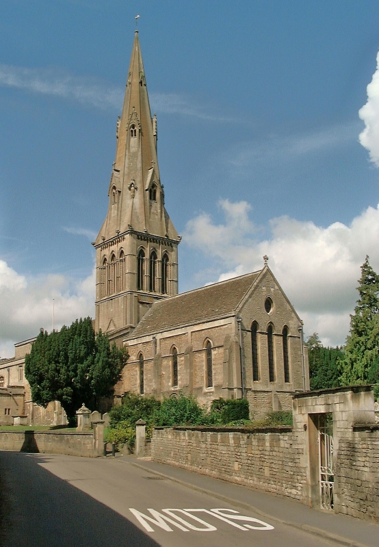
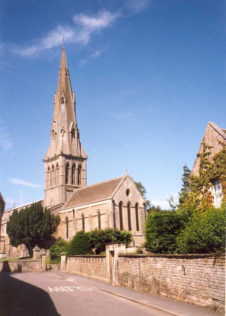
Church of St Mary the Virgin, Ketton
The Church of St Mary the Virgin is a church in Ketton, Rutland. The Church of England parish church is a Grade I listed building. == History == The church...
Ketton
Ketton is a village and civil parish in Rutland in the East Midlands of England. It is about 8 miles (13 km) east of Oakham and 3 miles (5 km) west of...

Ketton Cement Works
Ketton Cement Works is a large cement plant and quarry based in the village of Ketton in the county of Rutland in the United Kingdom. Now owned by HeidelbergCement...
Collyweston
Collyweston is a village and civil parish in North Northamptonshire, about three miles southwest of Stamford, Lincolnshire, on the road (the A43) to Kettering...
Collyweston Quarries
Collyweston Quarries is a 6.6-hectare (16-acre) biological Site of Special Scientific Interest in Easton on the Hill in Northamptonshire, south of Stamford...
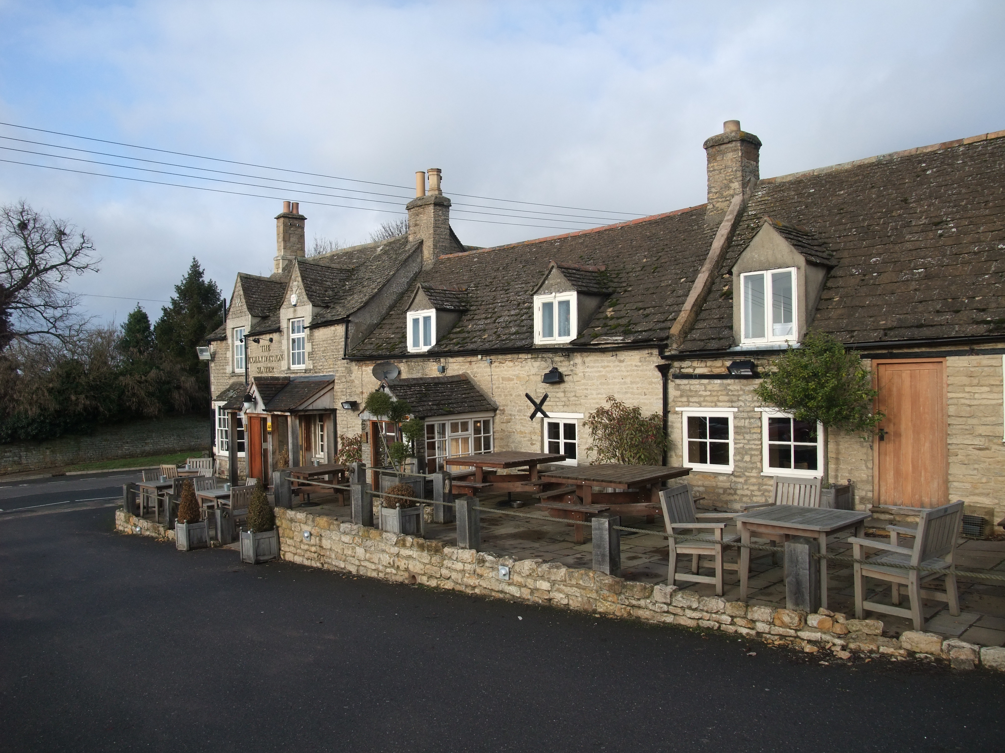
Collyweston Slate Mine
Collyweston Slate Mine is a 0.9-hectare (2.2-acre) geological Site of Special Scientific Interest Northamptonshire. It is a Geological Conservation Review...

Easton on the Hill
Easton on the Hill is a village and civil parish at the north eastern tip of North Northamptonshire, England. The village had a population at the 2011...
Nearby Amenities
Located within 500m of 52.627303,-0.54456Have you been to Aldgate?
Leave your review of Aldgate below (or comments, questions and feedback).