Aldford
Settlement in Cheshire
England
Aldford

Aldford is a small village located in the county of Cheshire, England. Situated approximately 6 miles south of the city of Chester, it falls within the Cheshire West and Chester unitary authority. The village is nestled on the banks of the River Dee, surrounded by picturesque countryside and rolling hills.
Historically, Aldford has a rich heritage dating back to the medieval period. The village is home to Aldford Castle, a Grade I listed building that was built in the 14th century. The castle's ruins stand as a reminder of its former grandeur and offer a glimpse into the village's past.
The village itself is known for its charm and character, with a mix of traditional and modern architecture. It boasts a number of well-preserved black and white timber-framed houses, giving it a quintessential English village feel. The village green is a focal point, providing a tranquil space for locals and visitors to relax and enjoy the views.
Aldford is also known for its thriving community spirit, with various events and activities organized throughout the year. The village hall is a hub for social gatherings, hosting events such as fairs, festivals, and community meetings.
With its idyllic setting and close proximity to Chester, Aldford is a popular destination for tourists and day-trippers. Walking and cycling trails offer opportunities to explore the surrounding countryside, while the nearby River Dee provides opportunities for boating and fishing.
Overall, Aldford is a charming village with a rich history, beautiful surroundings, and a vibrant community, making it a desirable place to live or visit in Cheshire.
If you have any feedback on the listing, please let us know in the comments section below.
Aldford Images
Images are sourced within 2km of 53.128563/-2.8699365 or Grid Reference SJ4159. Thanks to Geograph Open Source API. All images are credited.


Aldford is located at Grid Ref: SJ4159 (Lat: 53.128563, Lng: -2.8699365)
Unitary Authority: Cheshire West and Chester
Police Authority: Cheshire
What 3 Words
///huts.free.train. Near Aldford, Cheshire
Nearby Locations
Related Wikis

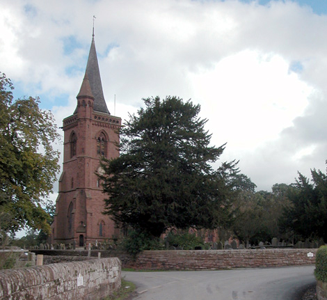
Aldford Castle
Aldford Castle is a motte and bailey castle in the village of Aldford in Cheshire. The motte is to the north of St John's Church, and the church stands...
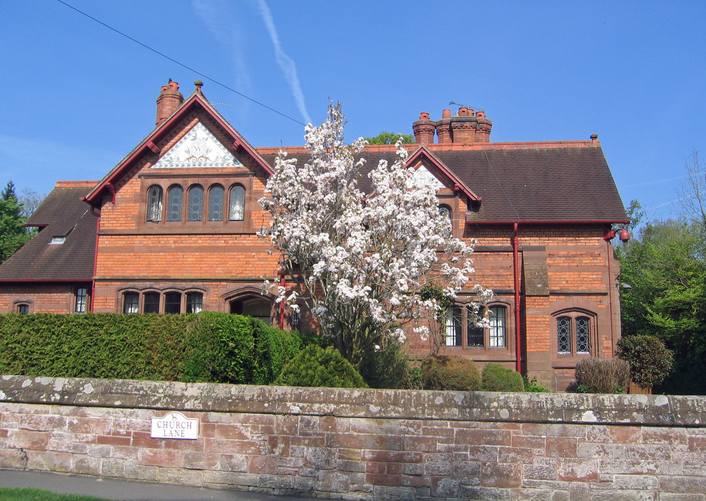
Aldford Lodge
Aldford Lodge consists of a pair of cottages at the Aldford entrance to Eaton Hall, Cheshire, England. It is recorded in the National Heritage List for...
Aldford
Aldford is a village and former civil parish, now in the parish of Aldford and Saighton, in the Cheshire West and Chester district, in the ceremonial county...
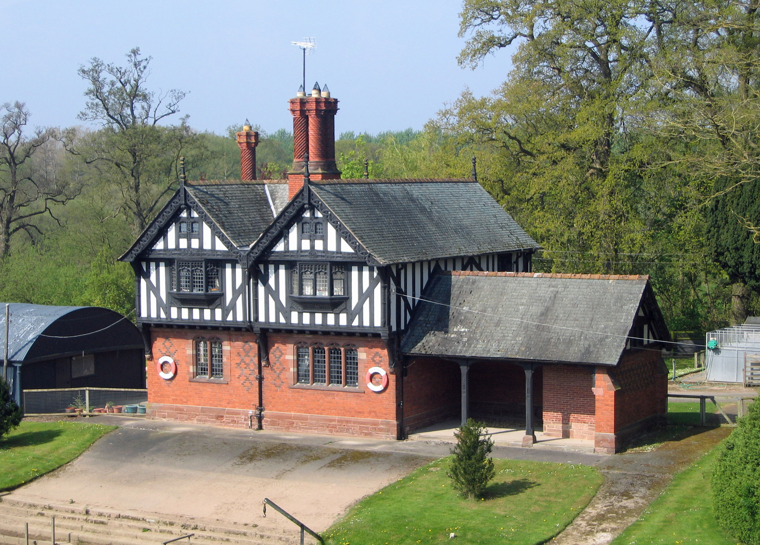
Iron Bridge Lodge, Aldford
Iron Bridge Lodge is a house on the Aldford Approach to Eaton Hall, Cheshire, England. It is sited on the banks of the River Dee and is close to Aldford...

Aldford Brook
Aldford Brook is a short river in Cheshire, England. It is a tributary of the River Dee, and joins the Dee at the village of Aldford. Rising at an altitude...

Dutch Tea House, Eaton Hall
The Dutch Tea House is in the grounds of Eaton Hall, Cheshire, England. It is recorded in the National Heritage List for England as a designated Grade...

Buerton, Cheshire West and Chester
Buerton is a former civil parish, now in the parish of Aldford and Saighton, in the unitary authority of Cheshire West and Chester and the ceremonial county...

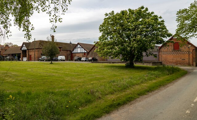
Aldford Hall
Aldford Hall is a farmhouse to the south of the village of Aldford, Cheshire, England. It is recorded in the National Heritage List for England as a designated...
Nearby Amenities
Located within 500m of 53.128563,-2.8699365Have you been to Aldford?
Leave your review of Aldford below (or comments, questions and feedback).