Eccleshall

Civil Parish in Staffordshire Stafford

England

Eccleshall

Entering the small Hamlet of Sugnall The sign is showing the Sugnall walled kitchen garden to the left, which is part of the Sugnall Hall Estate.  see<span class="nowrap"><a title="http://www.sugnall.co.uk/history.html" rel="nofollow ugc noopener" href="http://www.sugnall.co.uk/history.html">Link</a><img style="margin-left:2px;" alt="External link" title="External link - shift click to open in new window" src="https://s1.geograph.org.uk/img/external.png" width="10" height="10"/></span>
Entering the small Hamlet of Sugnall Credit: Mick Malpass

Eccleshall is a civil parish located in the county of Staffordshire, England. Situated approximately 9 miles to the north-west of Stafford, it covers an area of around 7 square miles. The civil parish is home to a population of approximately 5,000 residents.

Eccleshall is renowned for its historic charm and is steeped in history. The town's origins can be traced back to Roman times, with evidence of Roman settlements in the area. The town's name is believed to have derived from the Old English words for "church" and "stall," reflecting its connection to the ecclesiastical history of the area.

The centerpiece of Eccleshall is its picturesque High Street, lined with a mix of historic buildings, independent shops, and local businesses. The town is also known for its impressive Grade I listed Eccleshall Castle, a former residence of the Bishops of Lichfield, which dates back to the 13th century. The castle is now privately owned but can still be admired from the outside.

Eccleshall offers a range of amenities and services to its residents, including schools, healthcare facilities, and a variety of recreational activities. The town is well-connected by road, with easy access to the M6 motorway and nearby towns and cities.

With its rich history, charming architecture, and friendly community, Eccleshall continues to be a popular place to live and visit in Staffordshire.

If you have any feedback on the listing, please let us know in the comments section below.
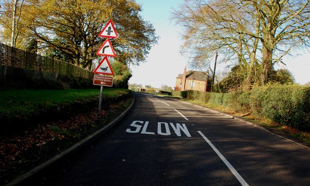
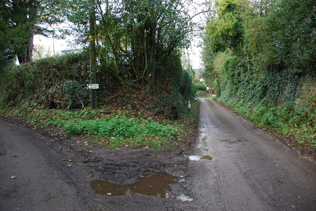
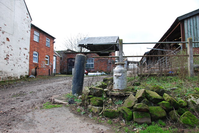
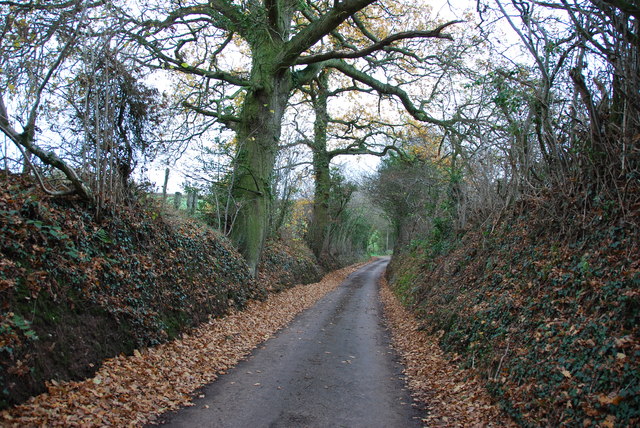
Eccleshall Images

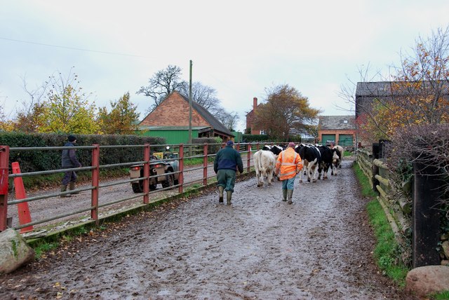
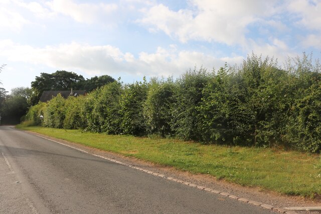
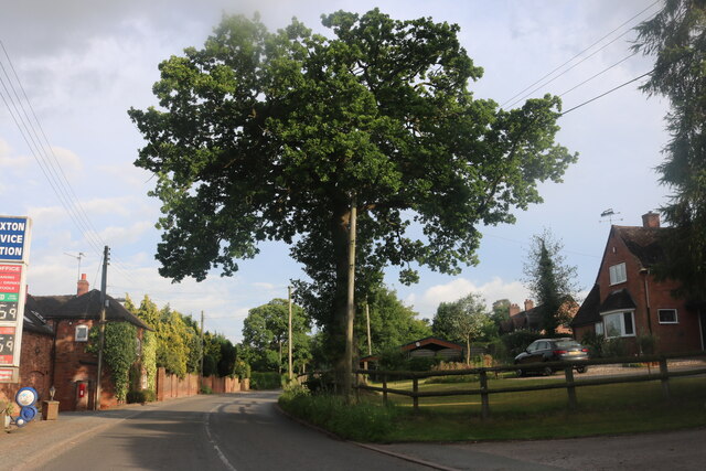
Images are sourced within 2km of 52.879203/-2.294151 or Grid Reference SJ8031. Thanks to Geograph Open Source API. All images are credited.

Entering the small Hamlet of Sugnall The sign is showing the Sugnall walled kitchen garden to the left, which is part of the Sugnall Hall Estate.  see<span class="nowrap"><a title="http://www.sugnall.co.uk/history.html" rel="nofollow ugc noopener" href="http://www.sugnall.co.uk/history.html">Link</a><img style="margin-left:2px;" alt="External link" title="External link - shift click to open in new window" src="https://s1.geograph.org.uk/img/external.png" width="10" height="10"/></span>
Entering the small Hamlet of Sugnall
The sign is showing the Sugnall walled kitchen garden to the left, which is part of the Sugnall Hall Estate. seeLinkExternal link
Derelict Red Brick Stables at Sugnall
Pasture to the left of Sugnall Hall The main Hall is on the opposite side of the B5026 to the Walled Garden.  see<span class="nowrap"><a title="http://www.sugnall.co.uk/history.html" rel="nofollow ugc noopener" href="http://www.sugnall.co.uk/history.html">Link</a><img style="margin-left:2px;" alt="External link" title="External link - shift click to open in new window" src="https://s1.geograph.org.uk/img/external.png" width="10" height="10"/></span>
Pasture to the left of Sugnall Hall
The main Hall is on the opposite side of the B5026 to the Walled Garden. seeLinkExternal link
Outbuildings for Sugnall Hall
The B5026 on its way to Sugnall
Storage Yard for Farm Implements in Croxton
Side Streets in Croxton The lane straight on rejoins the B5026 just outside the village, the lane to the left goes to Woodwall Green.
Side Streets in Croxton
The lane straight on rejoins the B5026 just outside the village, the lane to the left goes to Woodwall Green.
Small Farm in Croxton This farm has a very inventive post box, it is an old milk churn, with a waterproof slot near the top, and a door has been cut lower down to enable the post to be removed.
Small Farm in Croxton
This farm has a very inventive post box, it is an old milk churn, with a waterproof slot near the top, and a door has been cut lower down to enable the post to be removed.
Country Lane near Croxton
Narrow Lane heading towards Newhouse Farm The lanes round here don't seem to get much wider, but at least they are not getting narrower. They must be rough when there is snow about.
Narrow Lane heading towards Newhouse Farm
The lanes round here don't seem to get much wider, but at least they are not getting narrower. They must be rough when there is snow about.
Cattle Drive English Style at Newhouse Farm These young cattle were being brought back to the farm, from a field down the lane.
Cattle Drive English Style at Newhouse Farm
These young cattle were being brought back to the farm, from a field down the lane.
House on the crossroads in Croxton
Old house on the corner of Chester Road, Sugnall
Farm equipment by Eccleshall Road, Croxton
Eccleshall Road, Croxton
Detached house on Eccleshall Road, Croxton
Junction on Eccleshall Road, Croxton Looking towards Windmill Lane.
Junction on Eccleshall Road, Croxton
Looking towards Windmill Lane.
Show me another place!

Eccleshall is located at Grid Ref: SJ8031 (Lat: 52.879203, Lng: -2.294151)

Administrative County: Staffordshire

District: Stafford

Police Authority: Staffordshire

What 3 Words

///dangerously.rolled.encoder. Near Eccleshall, Staffordshire

Related Wikis

Cop Mere

Cop Mere is one of the largest natural bodies of water in Staffordshire, England, covering 42 acres (17 ha). It has been designated a SSSI as an oligotrophic...

Croxton, Staffordshire

Croxton is a village on the B5026 between Eccleshall and Loggerheads. Population details for the 2011 census can be found under Eccleshall. It is notable...

Eccleshall F.C.

Eccleshall Football Club is a football club based in Eccleshall, Staffordshire, England. They are currently members of the North West Counties League Division...

Jackson's Coppice and Marsh

Jackson's Coppice and Marsh is a nature reserve of the Staffordshire Wildlife Trust. It is along the River Sow, near the village of Bishop's Offley and...

Offleyhay

Offleyhay is a village in Staffordshire, England. The population as taken at the 2011 census can be found under Eccleshall. == References ==

A519 road

The A519 is a road in the Midlands, United Kingdom. == Route == It that runs between Newcastle-under-Lyme, Staffordshire and Newport, Shropshire. At Newport...

Eccleshall Castle

Eccleshall Castle is located in Eccleshall, Staffordshire, England (grid reference SJ827295). It was originally built in the 13th century. It is a Scheduled...

Copmere End

Copmere End is a small settlement in Staffordshire, England. It is 2 kilometres (1 mi) west of Eccleshall where the population taken for the 2011 census...

Nearby Amenities

Located within 500m of 52.879203,-2.294151
Barrier: stile
Lat/Long: 52.876711/-2.2887694
Barrier: stile
Lat/Long: 52.8817536/-2.2889645
Barrier: stile
Lat/Long: 52.8826391/-2.2898057
Barrier: stile
Lat/Long: 52.8815987/-2.2879177
The data included in this document is from www.openstreetmap.org. The data is made available under ODbL.

Have you been to Eccleshall?

Leave your review of Eccleshall below (or comments, questions and feedback).