Broadstreet Common

Settlement in Monmouthshire

Wales

Broadstreet Common

Footbridge in Great Traston Meadows LNR The wooden footbridge <a href="https://www.geograph.org.uk/photo/6922224">ST3484 : Footbridge on Wales coast Path</a> carries the Wales Coast Path over a ditch.
Footbridge in Great Traston Meadows LNR Credit: M J Roscoe

Broadstreet Common is a small village located in the county of Monmouthshire, Wales. Situated approximately 3 miles north of the town of Abergavenny, it is nestled in the beautiful countryside of the Brecon Beacons National Park. With a population of around 250 residents, the village offers a peaceful and idyllic setting for its inhabitants.

The village dates back to medieval times and is steeped in history. It is known for its charming mix of traditional stone cottages and modern houses, which add character to the area. The community is close-knit and residents enjoy a strong sense of belonging.

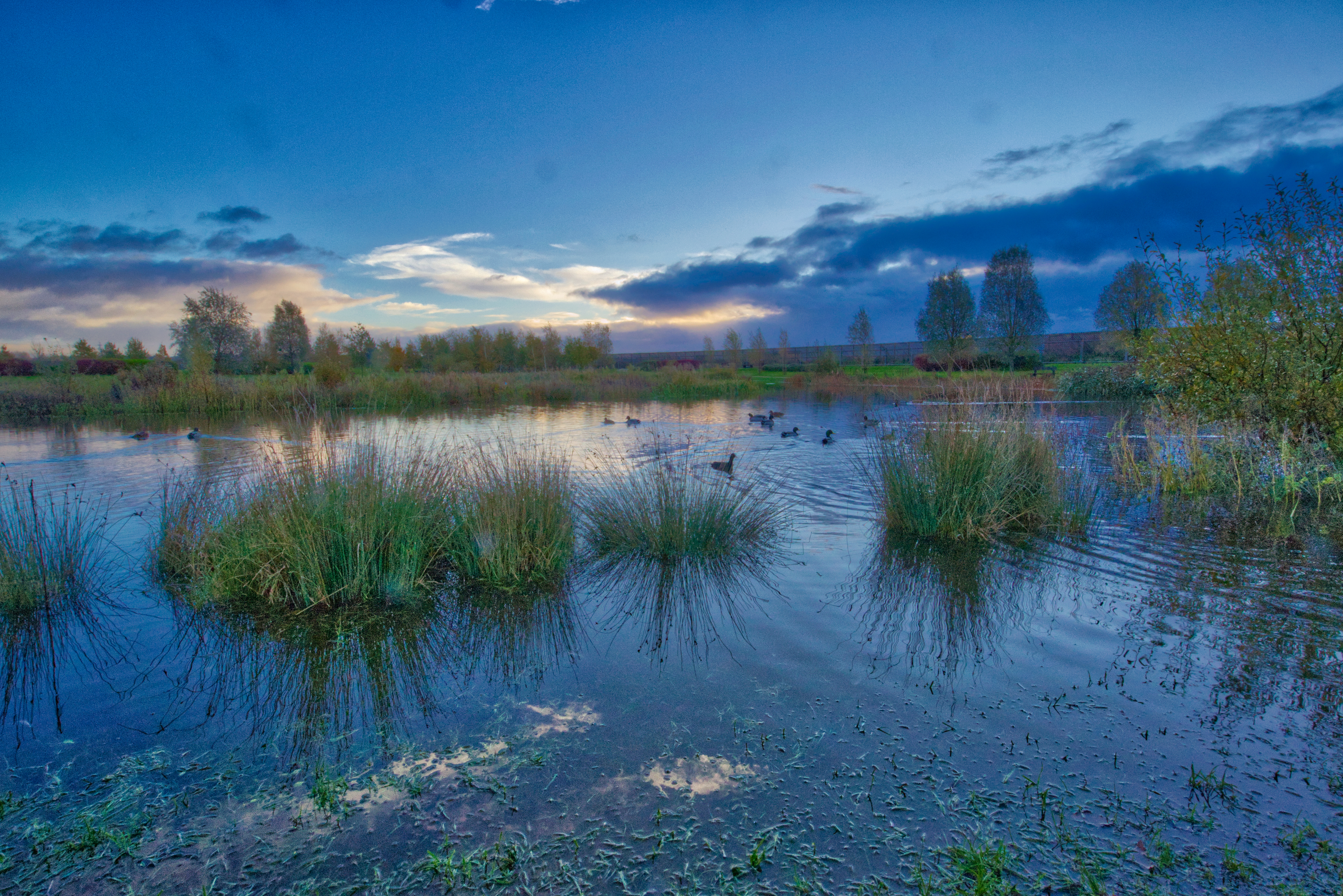
Broadstreet Common benefits from its proximity to the breathtaking natural surroundings. The rolling hills, lush green fields, and picturesque landscapes offer residents and visitors ample opportunities for outdoor activities such as hiking, cycling, and horse riding. The area is also home to a variety of wildlife, making it a haven for nature enthusiasts.

Despite its rural location, the village is well-connected to nearby towns and cities. Abergavenny provides a range of amenities, including shops, restaurants, and schools. The village itself has a community hall, a local pub, and a primary school, ensuring that residents have access to essential services.

In conclusion, Broadstreet Common is a charming village with a rich history and stunning natural surroundings. Its peaceful atmosphere, strong community spirit, and convenient location make it an ideal place to live for those seeking a rural lifestyle within reach of urban amenities.

If you have any feedback on the listing, please let us know in the comments section below.

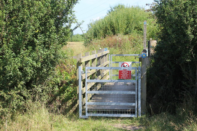
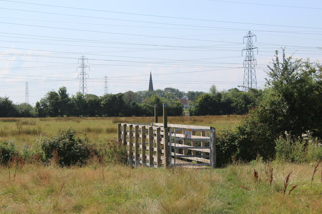
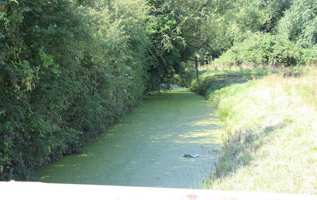
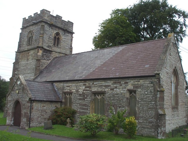
Broadstreet Common Images

Images are sourced within 2km of 51.561427/-2.924812 or Grid Reference ST3585. Thanks to Geograph Open Source API. All images are credited.

Footbridge in Great Traston Meadows LNR The wooden footbridge <a href="https://www.geograph.org.uk/photo/6922224">ST3484 : Footbridge on Wales coast Path</a> carries the Wales Coast Path over a ditch.
Footbridge in Great Traston Meadows LNR
The wooden footbridge ST3484 : Footbridge on Wales coast Path carries the Wales Coast Path over a ditch.
Footbridge on Wales coast Path Bridge over overgrown ditch, Great Traston Meadows LNR.
Footbridge on Wales coast Path
Bridge over overgrown ditch, Great Traston Meadows LNR.
Path on edge of meadow, Great Traston Meadows LNR Wales Coast Path by a hedge lining a ditch.
Path on edge of meadow, Great Traston Meadows LNR
Wales Coast Path by a hedge lining a ditch.
Disused factory beyond Great Traston Meadows LNR View across wildflower meadow from Wales Coast Path to riverside former works.
Disused factory beyond Great Traston Meadows LNR
View across wildflower meadow from Wales Coast Path to riverside former works.
Footbridge, Great Traston Meadows LNR Bridge, over small ditch, next to Wales Coast Path.
Footbridge, Great Traston Meadows LNR
Bridge, over small ditch, next to Wales Coast Path.
Footbridge on boundary of Great Traston Meadows LNR Wales Coast Path entering the nature reserve from the south and veering to the left of the hedge. The red notice warns of the presence of sheep and that dogs must be on a lead.
Footbridge on boundary of Great Traston Meadows LNR
Wales Coast Path entering the nature reserve from the south and veering to the left of the hedge. The red notice warns of the presence of sheep and that dogs must be on a lead.
Footbridge over Julian's Reen Wales Coast Path going south towards the church at Nash (spire); the next bridge on the Path can be discerned right of centre. There is a plethora of pylons because of the area's proximity to Uskmouth power station.
Footbridge over Julian's Reen
Wales Coast Path going south towards the church at Nash (spire); the next bridge on the Path can be discerned right of centre. There is a plethora of pylons because of the area's proximity to Uskmouth power station.
Julian's Reen, Nash Reen, sluice controlled drain, above footbridge <a href="https://www.geograph.org.uk/photo/6923218">ST3484 : Footbridge over Julian's Reen</a> on Wales Coast Path.
Julian's Reen, Nash
Reen, sluice controlled drain, above footbridge ST3484 : Footbridge over Julian's Reen on Wales Coast Path.
Dilapidated barn, Straits Lane Derelict agricultural building.
Dilapidated barn, Straits Lane
Derelict agricultural building.
Gated footbridge to field The Wales Coast Path leaves the corridor between hedge and high wooden fence and turns right into a grass field.
Gated footbridge to field
The Wales Coast Path leaves the corridor between hedge and high wooden fence and turns right into a grass field.
Moorlands, Goldcliff Road Detached house in the countryside.
Moorlands, Goldcliff Road
Detached house in the countryside.
Welcome to Nash sign at Pye Corner
Waterlogged dead-end road, Goldcliff Diverging from Chapel Road.
Waterlogged dead-end road, Goldcliff
Diverging from Chapel Road.
Goldcliff boundary sign Alongside the road named Broad Street Common.
Goldcliff boundary sign
Alongside the road named Broad Street Common.
Cycle route 4 sign, Goldcliff The number 4 on the small sign below a National Speed Limit sign indicates that the road is part of National Cycle Network Route 4 which extends for 431 miles (694 km) from Greenwich (London) to Fishguard on the Pembrokeshire coast in West Wales.
Cycle route 4 sign, Goldcliff
The number 4 on the small sign below a National Speed Limit sign indicates that the road is part of National Cycle Network Route 4 which extends for 431 miles (694 km) from Greenwich (London) to Fishguard on the Pembrokeshire coast in West Wales.
Distinctive house, Goldcliff Alongside the road named Broad Street Common on the Caldicot Levels, a large area of coastal land reclaimed from the sea.
Distinctive house, Goldcliff
Alongside the road named Broad Street Common on the Caldicot Levels, a large area of coastal land reclaimed from the sea.
WSW along Broad Street Common, Goldcliff Broad Street Common is a road on the Caldicot Levels, a large area of coastal land reclaimed from the sea.
WSW along Broad Street Common, Goldcliff
Broad Street Common is a road on the Caldicot Levels, a large area of coastal land reclaimed from the sea.
No Parking - Access Required At All Times, Whitson The notice is on the gate at the entrance to the National Grid Whitson Substation site. No entry to the site without authority.
No Parking - Access Required At All Times, Whitson
The notice is on the gate at the entrance to the National Grid Whitson Substation site. No entry to the site without authority.
Show me another place!

Broadstreet Common is located at Grid Ref: ST3585 (Lat: 51.561427, Lng: -2.924812)

Unitary Authority: Newport

Police Authority: Gwent

What 3 Words

///served.foster.hosts. Near Nash, Newport

Nearby Locations

Broadstreet Common

Related Wikis

Llanwern (electoral ward)

Llanwern is the name of an electoral ward for Newport City Council in south Wales. It covers several rural communities to the east of the city. It is represented...

Hayley Stadium

Hayley Stadium was a purpose-built motorcycle speedway located at Queensway Meadows on the eastern side of Newport, Wales. The stadium was 311 yards (284...

Llanwern

Llanwern is a community in the eastern part of the City of Newport, South East Wales. Llanwern is bounded by the M4 and Langstone to the north, Ringland...

Glan Llyn

Glan Llyn is the name of a mixed-use community development, to the south-east of Newport, South Wales, at the western end of the former Llanwern steelworks...

Nash, Newport

Nash (Welsh: Trefonnen) is a village and community to the south of the city of Newport, South Wales, in the Lliswerry ward. == Origin of the name == The...

Whitson

Whitson is a village on the outskirts of the city of Newport, South Wales. It is located about 7 miles (11 km) south east of Newport city centre on the...

Goldcliff, Newport

Goldcliff (Welsh: Allteuryn) is a village, parish and community to the south east of the city of Newport in South Wales. It lies within the Newport city...

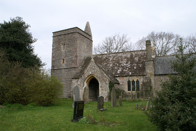
St Mary's Church, Nash

The Church of St Mary the Virgin, Nash is the parish church of the village of Nash, situated about 3 kilometres (1.9 mi) south of the city of Newport,...

Nearby Amenities

Located within 500m of 51.561427,-2.924812
Power: tower
Lat/Long: 51.5653472/-2.9218971
Power: tower
Lat/Long: 51.5651042/-2.9271943
Power: tower
Lat/Long: 51.5641579/-2.9298005
Power: tower
Lat/Long: 51.5642807/-2.9258028
Power: tower
Lat/Long: 51.5644427/-2.9213538
Note: Note that in the Jan 2019 Mapillary photos, the 40/50 speed limit signs have been turned 180°
Lat/Long: 51.5591286/-2.9303992
The data included in this document is from www.openstreetmap.org. The data is made available under ODbL.

Have you been to Broadstreet Common?

Leave your review of Broadstreet Common below (or comments, questions and feedback).