East Allington

Civil Parish in Devon South Hams

England

East Allington

Field near Pasture Farm Five years after <a href="https://www.geograph.org.uk/photo/5434376">SX7849 : Field near Pasture Farm</a>, and during the drought of 2022, hence the contrast in colours.
Field near Pasture Farm Credit: Derek Harper

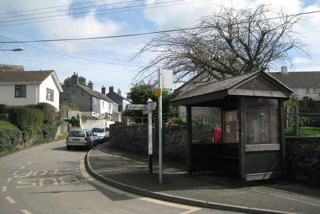
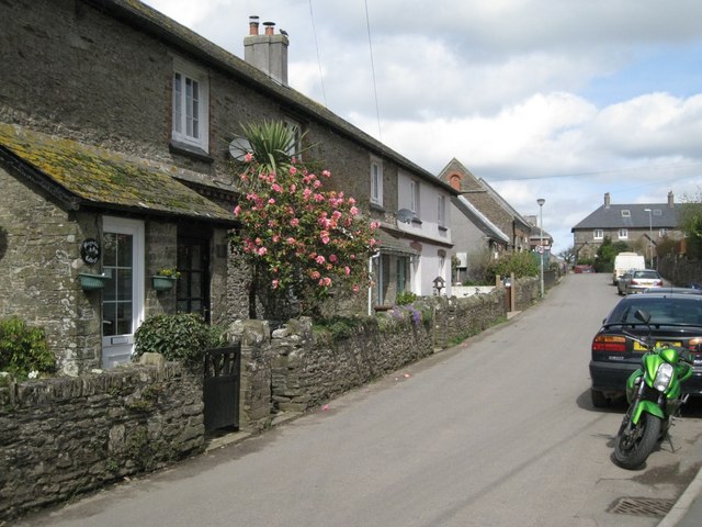
East Allington is a civil parish located in the South Hams district of Devon, England. Situated on the southern slopes of the Dartmoor National Park, it covers an area of approximately 7.5 square kilometers. The village of East Allington itself is nestled in a picturesque countryside setting, characterized by rolling hills, lush fields, and quaint cottages.

The parish is home to a population of around 600 residents, who enjoy a peaceful rural lifestyle. The local economy is primarily based on agriculture, with farming and livestock rearing being the main occupations. The fertile land and favorable climate contribute to the success of the agricultural sector.

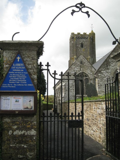
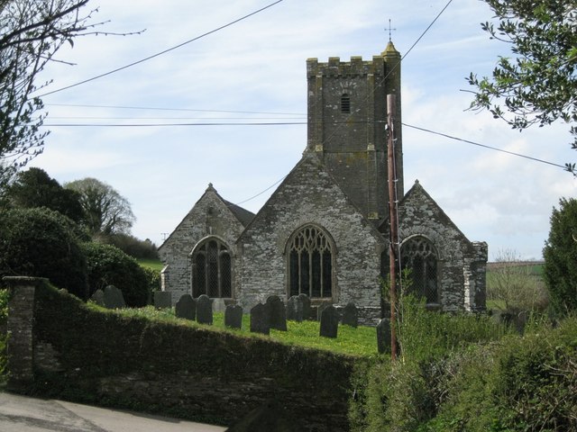
East Allington boasts a strong sense of community and has a range of amenities to cater to its residents. These include a primary school, a village hall, a post office, and a church. The village also has a pub, which serves as a popular meeting place for locals and visitors alike.

The area surrounding East Allington offers numerous opportunities for outdoor activities and exploration. The nearby Dartmoor National Park provides ample opportunities for hiking, cycling, and wildlife spotting. Additionally, the beautiful South Devon coastline is just a short drive away, offering stunning beaches, coastal walks, and water sports.

Overall, East Allington is a charming and idyllic rural village, offering a close-knit community, beautiful landscapes, and a peaceful way of life.

If you have any feedback on the listing, please let us know in the comments section below.

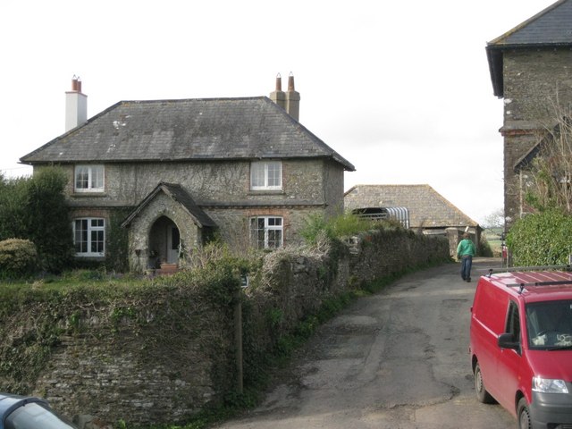
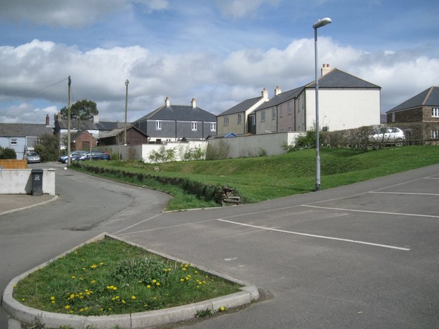
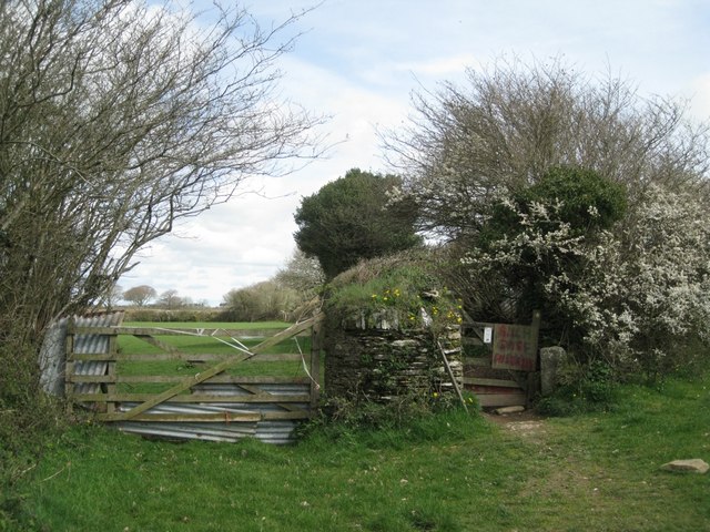
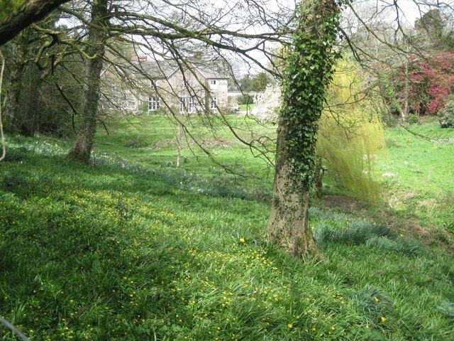
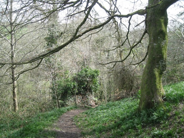
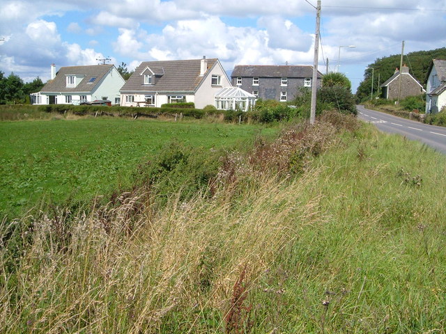
East Allington Images

Images are sourced within 2km of 50.319221/-3.723763 or Grid Reference SX7748. Thanks to Geograph Open Source API. All images are credited.

Field near Pasture Farm Five years after <a href="https://www.geograph.org.uk/photo/5434376">SX7849 : Field near Pasture Farm</a>, and during the drought of 2022, hence the contrast in colours.
Field near Pasture Farm
Five years after SX7849 : Field near Pasture Farm, and during the drought of 2022, hence the contrast in colours.
East Allington: wind-blown tree Near the entrance to Higher Pasture Farm. The road acts as the boundary between East Allington and Blackawton parishes
East Allington: wind-blown tree
Near the entrance to Higher Pasture Farm. The road acts as the boundary between East Allington and Blackawton parishes
Bus stop, Efford Corner  Postbox number TQ9 102; Dartmouth Road goes up the hill.
Bus stop, Efford Corner
Postbox number TQ9 102; Dartmouth Road goes up the hill.
Cottages, Vineyard Terrace  Sheltered parts of the South Hams are almost sub-tropical. Here is a Camellia in flower beside a Cordyline.
Cottages, Vineyard Terrace
Sheltered parts of the South Hams are almost sub-tropical. Here is a Camellia in flower beside a Cordyline.
Houses, Addlehole  A small development on the west side of the village.
Houses, Addlehole
A small development on the west side of the village.
Below the church  The Fortescue Arms stands on the corner of the main street and Greenhill.
Below the church
The Fortescue Arms stands on the corner of the main street and Greenhill.
Masonry near Bunkers Farm  The pieces of rubble in the wall reveal folds in the parent rock.
Masonry near Bunkers Farm
The pieces of rubble in the wall reveal folds in the parent rock.
Gates to St Andrew's Church
St Andrew's Church from the east  The church clings to the hillside above the village.
St Andrew's Church from the east
The church clings to the hillside above the village.
Bridleway north from the village
Laburnum Way and car park  Dartmouth Road in the distance; Lister Way on the right.
Laburnum Way and car park
Dartmouth Road in the distance; Lister Way on the right.
East Allington from the southeast
Gates each side of a pillar  All dogs on leads, say the words in red.
Gates each side of a pillar
All dogs on leads, say the words in red.
Grounds of the Old Rectory  Early spring-flowering shrubs complement daffodils and celandines.
Grounds of the Old Rectory
Early spring-flowering shrubs complement daffodils and celandines.
Path along a hillside  Approaching a steep wooded valley. The summit on the left is east of Higher and Lower Coombe.
Path along a hillside
Approaching a steep wooded valley. The summit on the left is east of Higher and Lower Coombe.
Steep descent through woodland  The leaves of bluebells show rich green.
Steep descent through woodland
The leaves of bluebells show rich green.
Simple footbridge over a brook
Aliens!  A stand of Eucalyptus trees towers over scrub on a hillside.
Aliens!
A stand of Eucalyptus trees towers over scrub on a hillside.
Show me another place!

East Allington is located at Grid Ref: SX7748 (Lat: 50.319221, Lng: -3.723763)

Administrative County: Devon

District: South Hams

Police Authority: Devon & Cornwall

What 3 Words

///described.telephone.scoring. Near Kingsbridge, Devon

Related Wikis

East Allington

East Allington is a village and civil parish in the South Hams district of Devon, England, three miles (5 km) south of Halwell and just off the A381 road...

The Mounts

The Mounts is a small hamlet, containing only 17 houses, situated on the A381 road between Totnes and Kingsbridge in Devon, England. It is part of the...

Buckland-Tout-Saints

Buckland-Tout-Saints is a village and civil parish in the South Hams district of Devon, England. In the 2001 census it had a population of 178, up from...

Abbotsleigh, Devon

Abbotsleigh is a hamlet in the county of Devon, England. Abbotsleigh is in the civil parish of Blackawton, within the district council of South Hams in...

Nearby Amenities

Located within 500m of 50.319221,-3.723763
Churchill Cross
Place: locality
Lat/Long: 50.3220744/-3.7291027
Generator Method: photovoltaic
Generator Output Electricity: yes
Generator Source: solar
Generator Type: solar_photovoltaic_panel
Location: roof
Power: generator
Lat/Long: 50.3220681/-3.7286983
Power: pole
Lat/Long: 50.3225793/-3.7204921
Power: pole
Lat/Long: 50.3219123/-3.7203138
Power: pole
Lat/Long: 50.3206587/-3.7195306
Power: pole
Lat/Long: 50.3199497/-3.7190759
Power: pole
Lat/Long: 50.3194719/-3.7187809
Power: pole
Lat/Long: 50.3185787/-3.718227
Power: pole
Lat/Long: 50.3177327/-3.7176624
The data included in this document is from www.openstreetmap.org. The data is made available under ODbL.

Have you been to East Allington?

Leave your review of East Allington below (or comments, questions and feedback).