Drayton St. Leonard
Civil Parish in Oxfordshire South Oxfordshire
England
Drayton St. Leonard
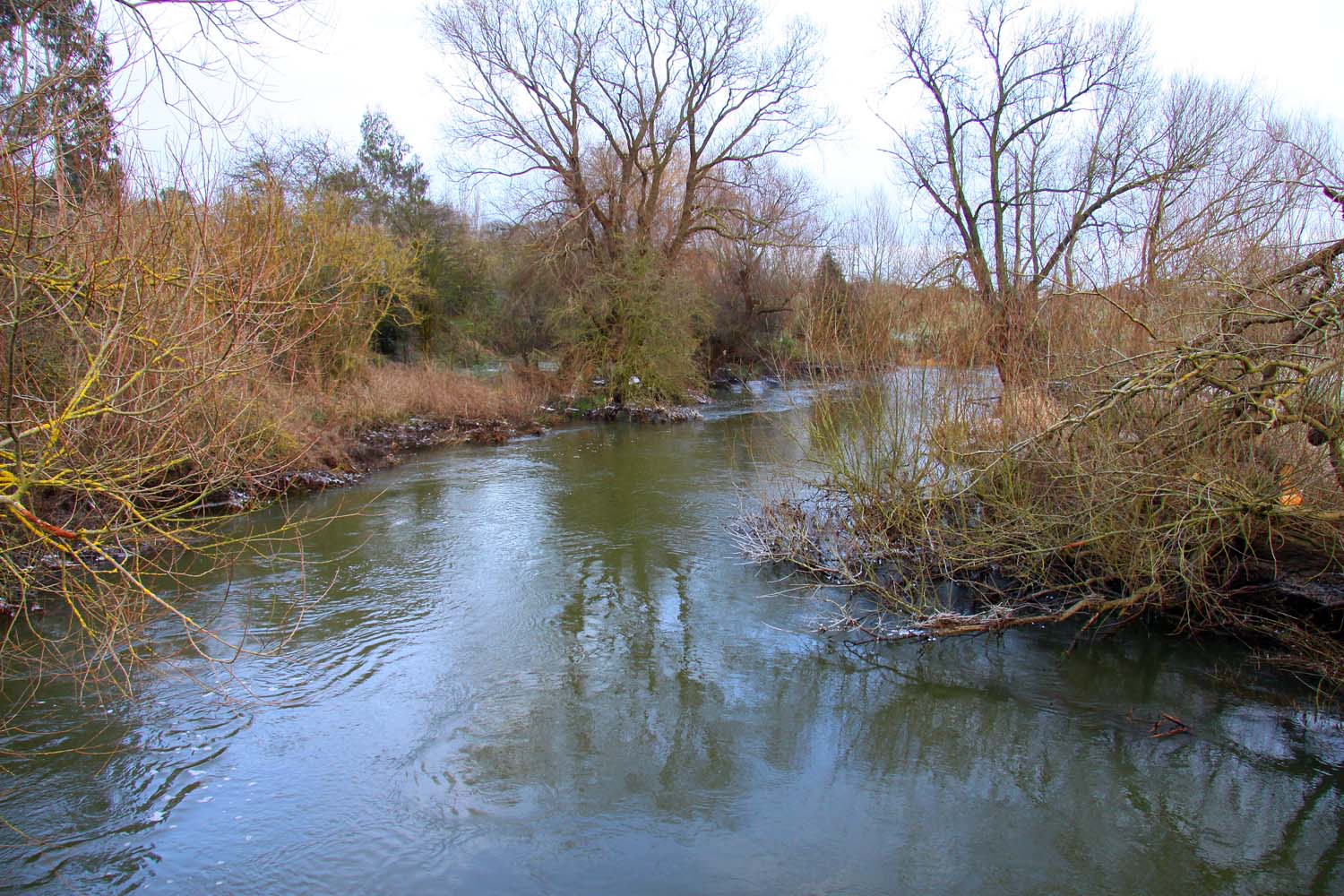
Drayton St. Leonard is a civil parish located in the county of Oxfordshire, England. Situated about 8 miles southeast of the city of Oxford, the village is nestled in a picturesque rural setting along the River Thame.
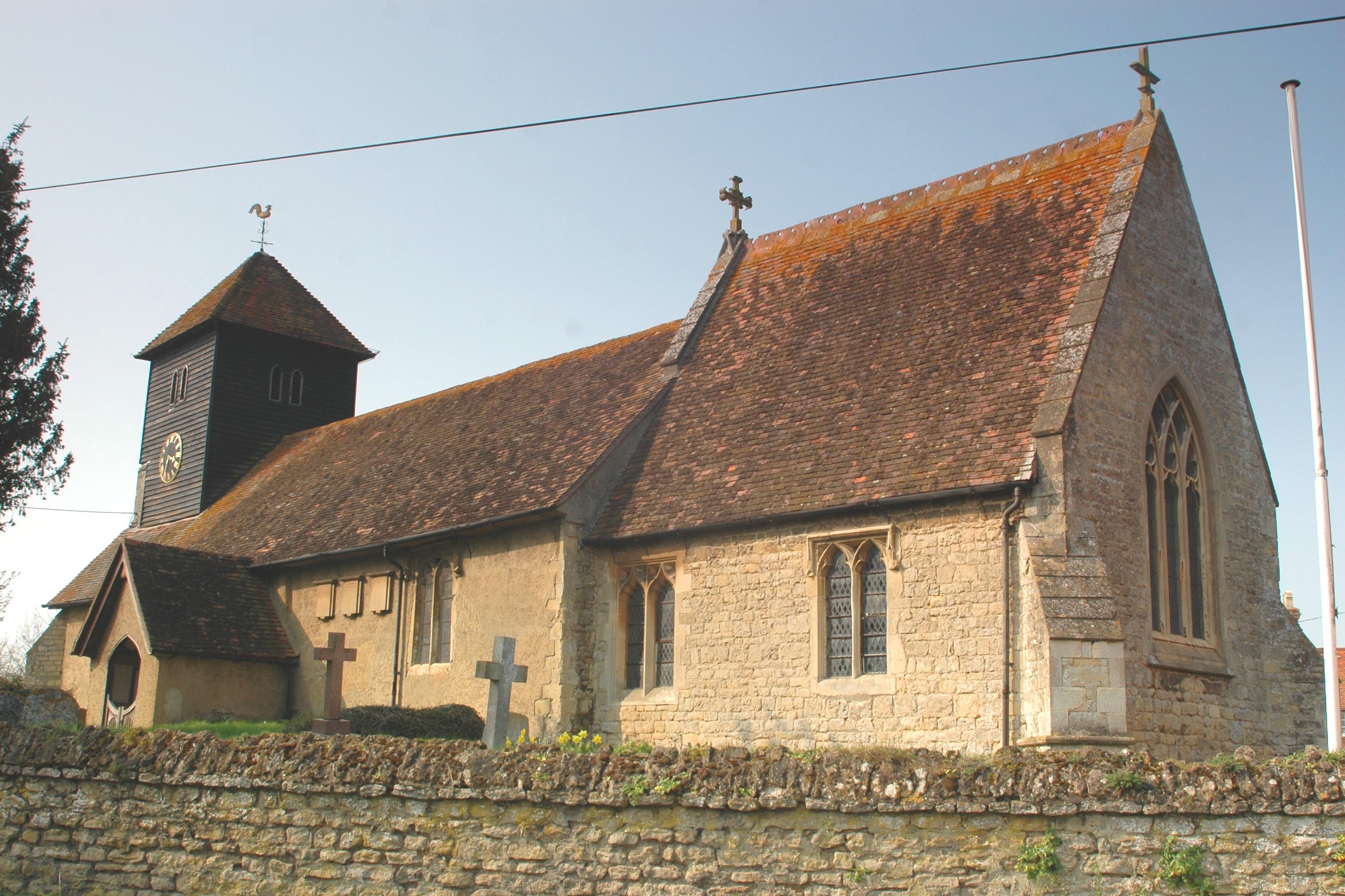
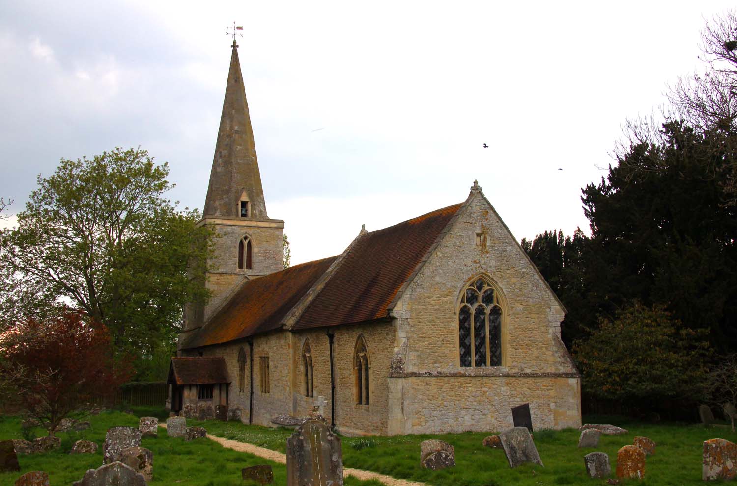
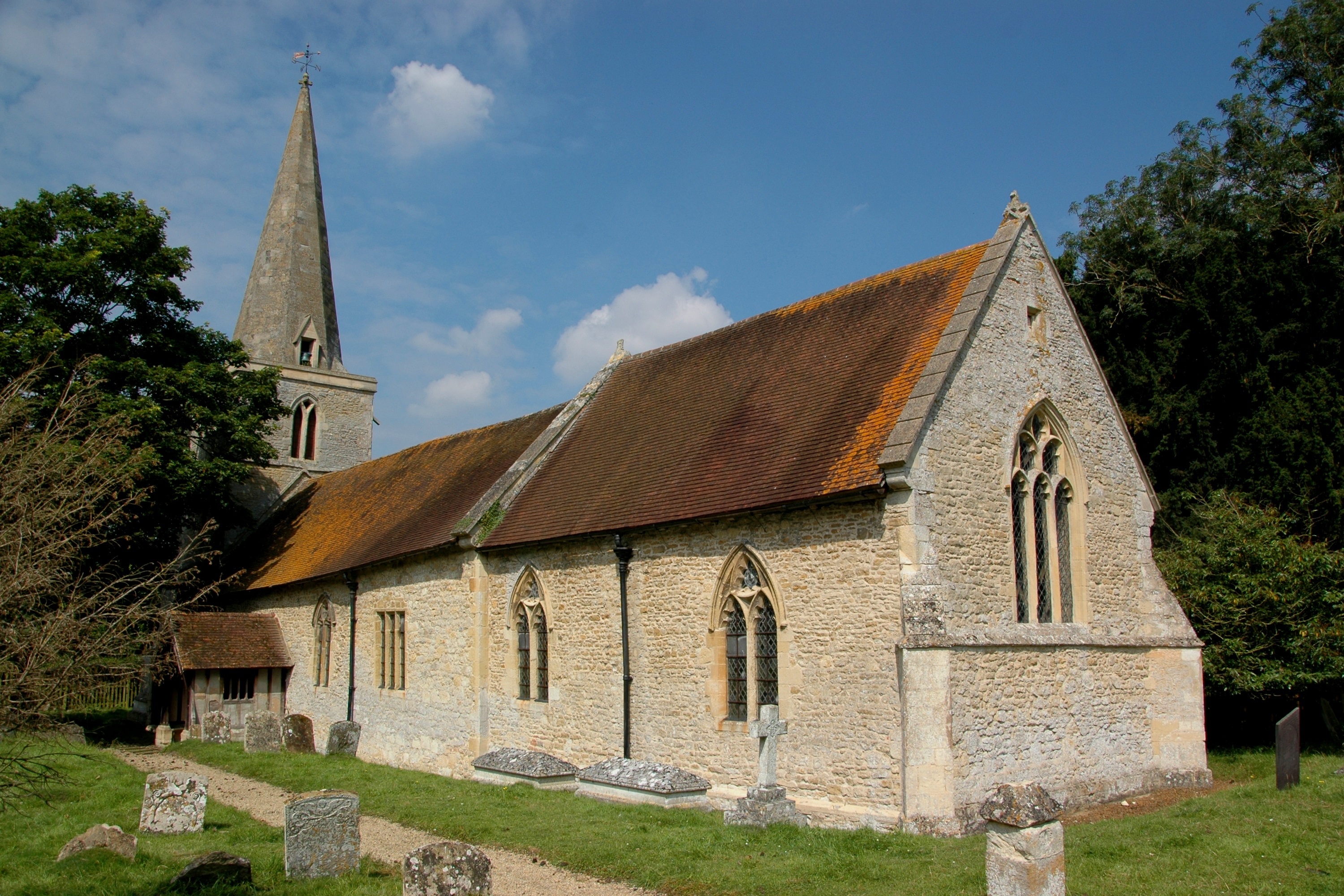
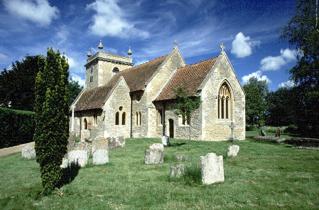
The village features a charming mix of historic buildings, including a 12th-century Norman church dedicated to St. Leonard, which is a Grade I listed structure. The church is known for its striking architecture, including a medieval tower and a rare Norman font. The village also boasts several other architecturally notable buildings, such as thatched cottages and timber-framed houses.
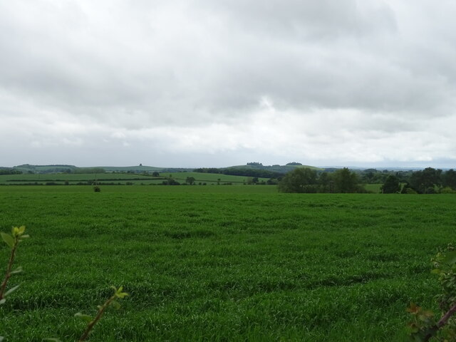
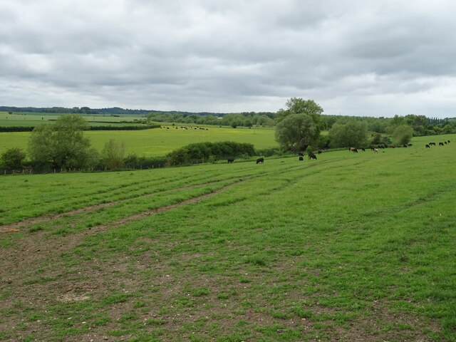
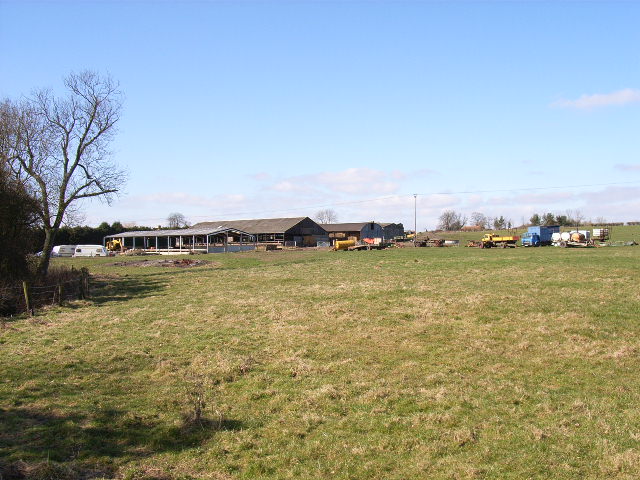
Nature enthusiasts will appreciate the stunning countryside surrounding Drayton St. Leonard. The area is known for its beautiful walks and cycling routes, with the River Thame offering opportunities for boating and fishing. The village is also home to a nature reserve, which provides a habitat for a variety of wildlife, including birds, mammals, and reptiles.
Despite its small size, Drayton St. Leonard has a vibrant community. The village hosts several social events throughout the year, including a summer fete and a Christmas market, which bring residents together. Additionally, the local pub serves as a popular gathering spot for both locals and visitors.
In terms of amenities, Drayton St. Leonard has limited facilities, with a village hall and a primary school catering to the community's needs. Residents typically rely on nearby towns and cities for shopping and other services.
Overall, Drayton St. Leonard offers a tranquil and picturesque environment, making it an appealing destination for those seeking a rural retreat in the heart of Oxfordshire.
If you have any feedback on the listing, please let us know in the comments section below.
Drayton St. Leonard Images
Images are sourced within 2km of 51.663592/-1.138175 or Grid Reference SU5996. Thanks to Geograph Open Source API. All images are credited.


Drayton St. Leonard is located at Grid Ref: SU5996 (Lat: 51.663592, Lng: -1.138175)
Administrative County: Oxfordshire
District: South Oxfordshire
Police Authority: Thames Valley
What 3 Words
///upwardly.shams.shackles. Near Chalgrove, Oxfordshire
Nearby Locations
Related Wikis
Drayton St. Leonard
Drayton St. Leonard is a village and civil parish on the River Thame in Oxfordshire, about 8 miles (13 km) southeast of Oxford. == Manor == The Domesday...

Aston Martin Heritage Trust Museum
The Aston Martin Heritage Trust (AMHT) is a Charitable Incorporated Organisation that manages the Aston Martin Museum an automobile museum presenting...
Beauforest House
Beauforest House is a historic house, near Newington, Oxfordshire, England. It has been listed Grade II on the National Heritage List for England since...
Newington, Oxfordshire
Newington is a village and civil parish in South Oxfordshire, about 4+1⁄2 miles (7 km) north of Wallingford. The 2011 Census recorded the parish's population...
Great Holcombe
Great Holcombe is a hamlet in Newington civil parish in South Oxfordshire, about 4.5 miles (7.2 km) north of Wallingford. == References ==
Stadhampton
Stadhampton is a village and civil parish about 7 miles (11 km) southeast of Oxford in South Oxfordshire, England. Stadhampton is close to the River Thame...
Brookhampton, Oxfordshire
Brookhampton is a hamlet in the village and civil parish of Stadhampton, 5 miles (8.0 km) north of Wallingford, in South Oxfordshire, England.

Ascott, Oxfordshire
Ascott is a hamlet and manor house in the English county of Oxfordshire. Ascott lies close to the River Thame north of Dorchester, around about 7 miles...
Nearby Amenities
Located within 500m of 51.663592,-1.138175Have you been to Drayton St. Leonard?
Leave your review of Drayton St. Leonard below (or comments, questions and feedback).