Drayton St Leonard
Settlement in Oxfordshire South Oxfordshire
England
Drayton St Leonard
Drayton St Leonard is a small village located in Oxfordshire, England. It is situated approximately 10 miles south-east of the city of Oxford and lies on the banks of the River Thames. The village is primarily known for its picturesque countryside setting and historic charm.
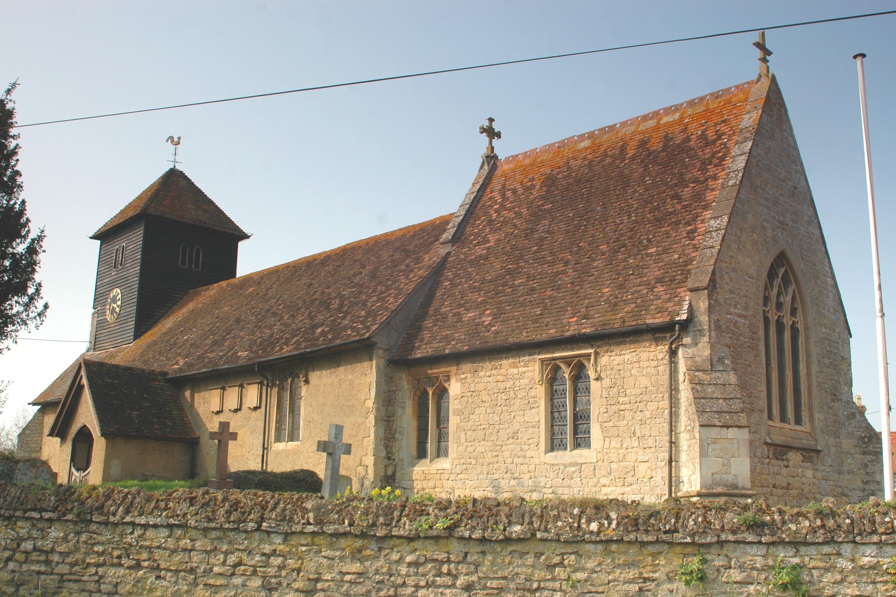
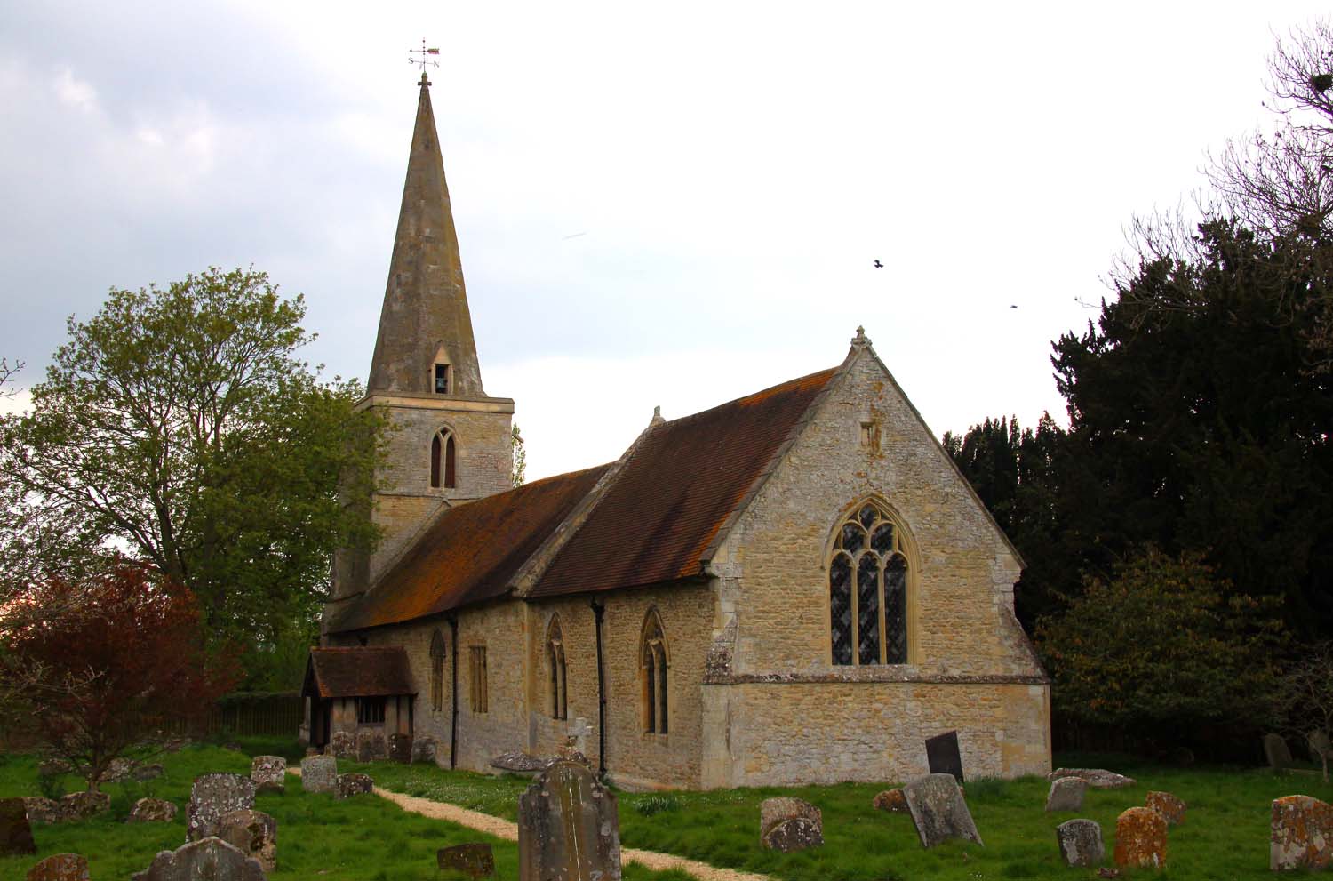
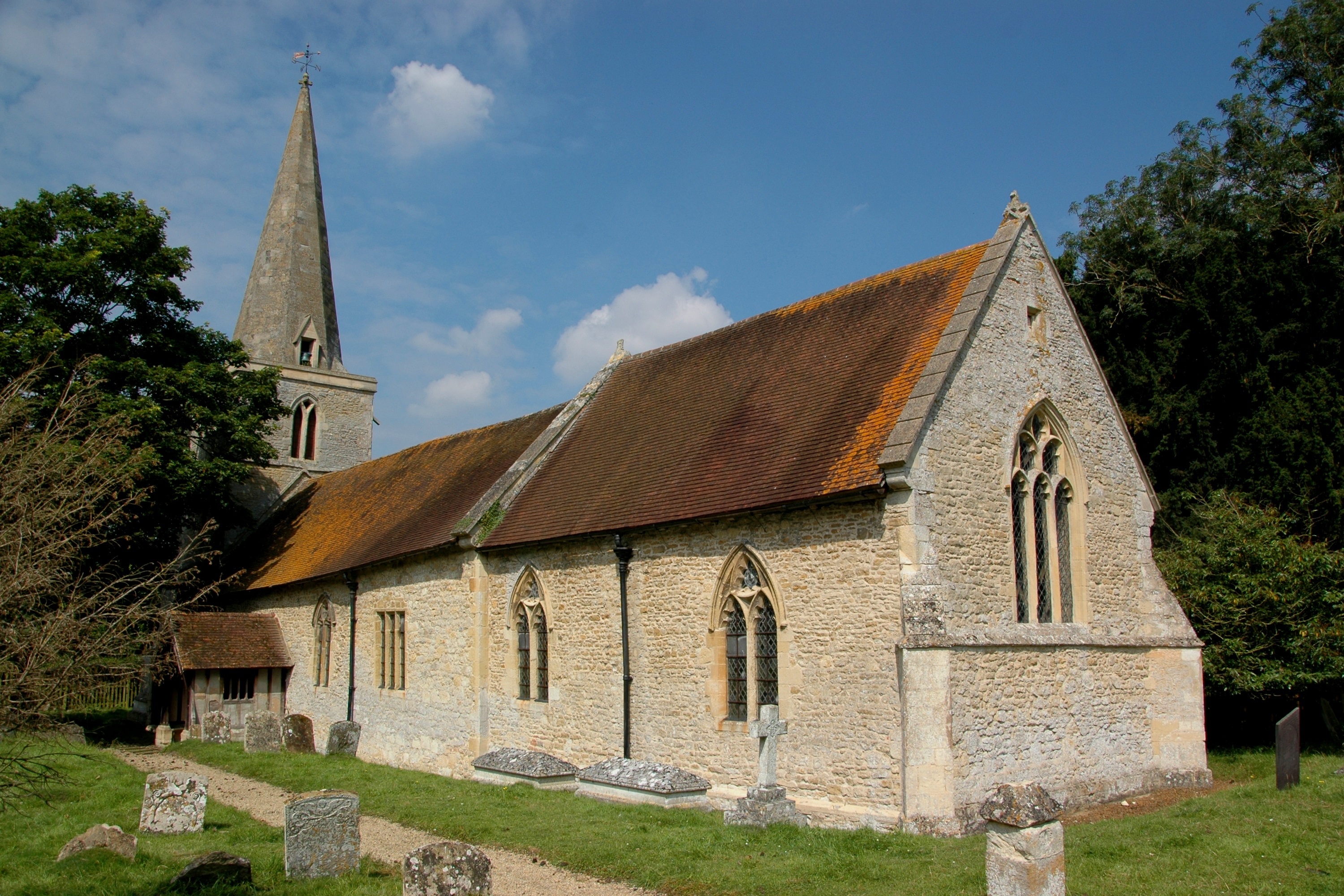
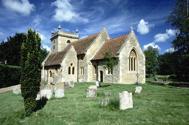
The village dates back to the Anglo-Saxon era and has a rich history. It features several notable landmarks, including the Grade I listed St Leonard's Church, which is renowned for its unique Norman tower. The church's architecture provides a glimpse into the village's medieval past.
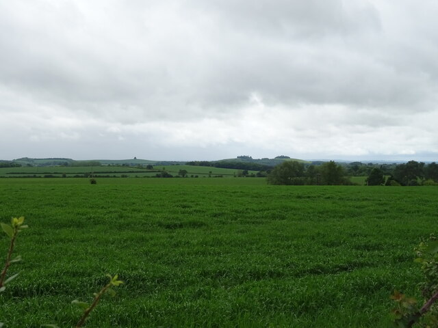
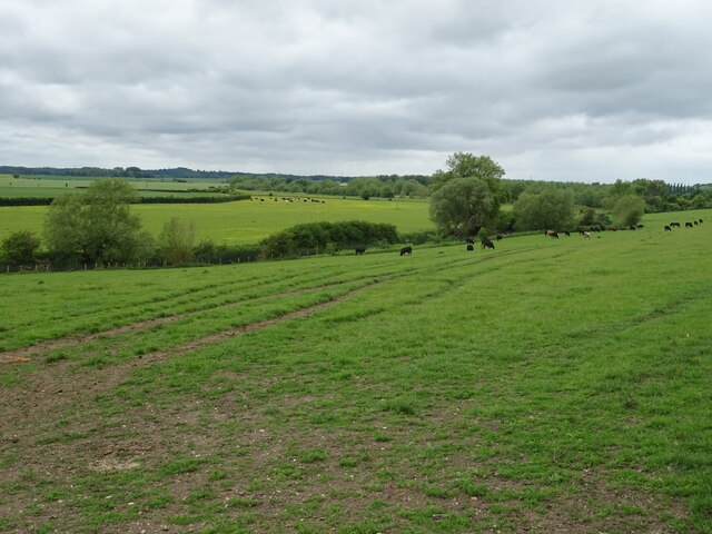
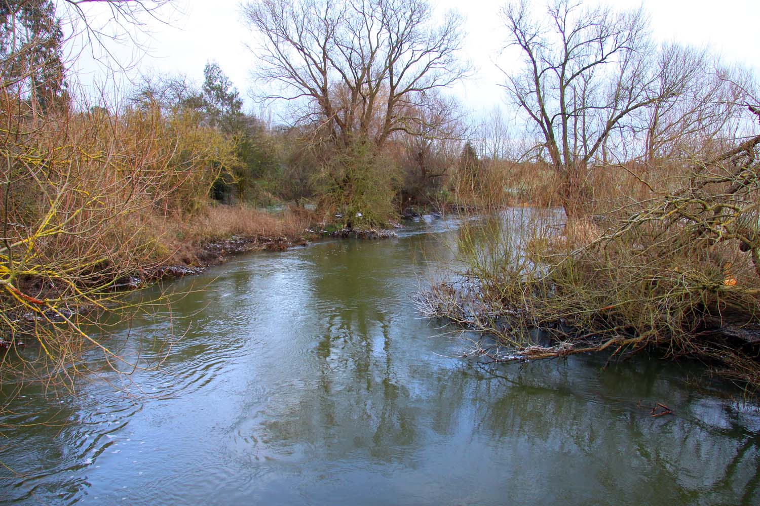
Drayton St Leonard is surrounded by beautiful countryside, offering residents and visitors the opportunity to explore the rural landscape. The River Thames runs through the village, providing scenic views and leisure activities such as boating and fishing.
Despite its small size, the village has a strong sense of community, with various social events and activities taking place throughout the year. The local pub, The Chequers Inn, serves as a popular gathering spot for locals and visitors alike.
The village's location makes it an ideal base for exploring the wider Oxfordshire area. It is within easy reach of the city of Oxford, known for its prestigious university and cultural heritage, as well as other nearby towns and villages that offer further attractions and amenities.
Overall, Drayton St Leonard is a quintessential English village, offering a tranquil and picturesque setting that attracts visitors seeking a peaceful countryside experience.
If you have any feedback on the listing, please let us know in the comments section below.
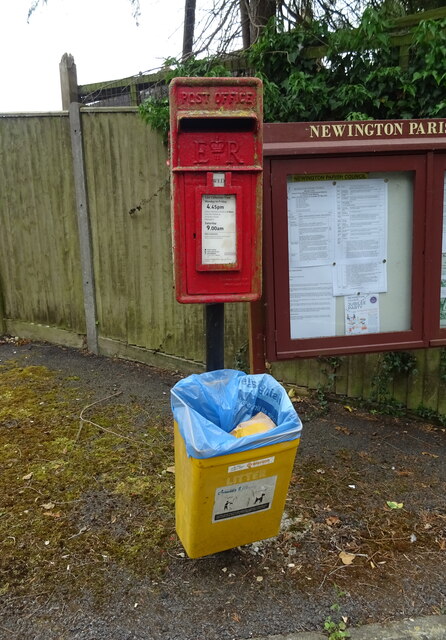
Drayton St Leonard Images
Images are sourced within 2km of 51.661969/-1.1383236 or Grid Reference SU5996. Thanks to Geograph Open Source API. All images are credited.


Drayton St Leonard is located at Grid Ref: SU5996 (Lat: 51.661969, Lng: -1.1383236)
Administrative County: Oxfordshire
District: South Oxfordshire
Police Authority: Thames Valley
What 3 Words
///dolly.sleepless.resolves. Near Chalgrove, Oxfordshire
Nearby Locations
Related Wikis
Drayton St. Leonard
Drayton St. Leonard is a village and civil parish on the River Thame in Oxfordshire, about 8 miles (13 km) southeast of Oxford. == Manor == The Domesday...

Aston Martin Heritage Trust Museum
The Aston Martin Heritage Trust (AMHT) is a Charitable Incorporated Organisation that manages the Aston Martin Museum an automobile museum presenting...
Beauforest House
Beauforest House is a historic house, near Newington, Oxfordshire, England. It has been listed Grade II on the National Heritage List for England since...
Newington, Oxfordshire
Newington is a village and civil parish in South Oxfordshire, about 4+1⁄2 miles (7 km) north of Wallingford. The 2011 Census recorded the parish's population...
Great Holcombe
Great Holcombe is a hamlet in Newington civil parish in South Oxfordshire, about 4.5 miles (7.2 km) north of Wallingford. == References ==
Stadhampton
Stadhampton is a village and civil parish about 7 miles (11 km) southeast of Oxford in South Oxfordshire, England. Stadhampton is close to the River Thame...
Brookhampton, Oxfordshire
Brookhampton is a hamlet in the village and civil parish of Stadhampton, 5 miles (8.0 km) north of Wallingford, in South Oxfordshire, England.

Ascott, Oxfordshire
Ascott is a hamlet and manor house in the English county of Oxfordshire. Ascott lies close to the River Thame north of Dorchester, around about 7 miles...
Nearby Amenities
Located within 500m of 51.661969,-1.1383236Have you been to Drayton St Leonard?
Leave your review of Drayton St Leonard below (or comments, questions and feedback).