Draycott in the Moors
Civil Parish in Staffordshire Staffordshire Moorlands
England
Draycott in the Moors
Draycott in the Moors is a civil parish located in the county of Staffordshire, England. Situated approximately 4.5 miles southeast of Stoke-on-Trent, it covers an area of around 4.7 square miles. The village is nestled within the scenic Staffordshire Moorlands, known for its picturesque landscapes and rolling hills.
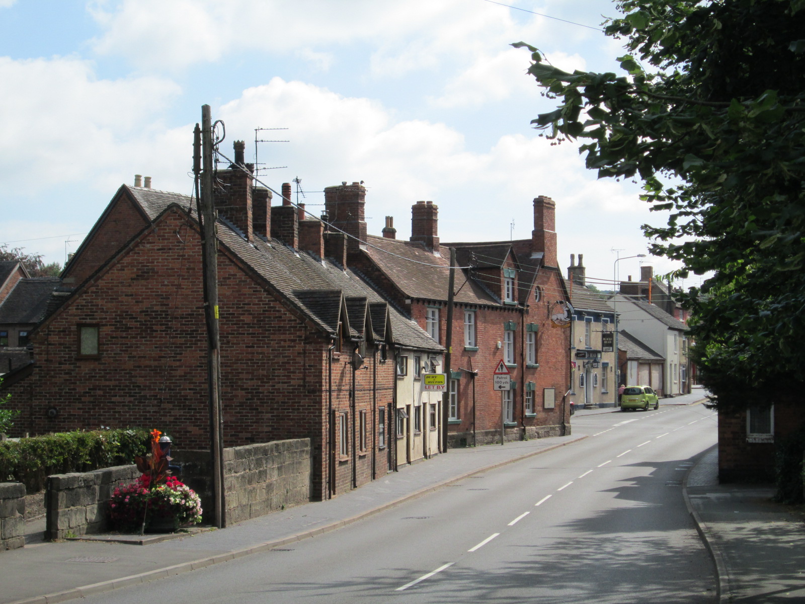
Draycott in the Moors is a small and tight-knit community with a population of around 1,600 residents. The village has a rich history dating back to the medieval period, and evidence of its past can be seen in the ancient St. Margaret's Church, a Grade II listed building that has stood in the village for centuries.
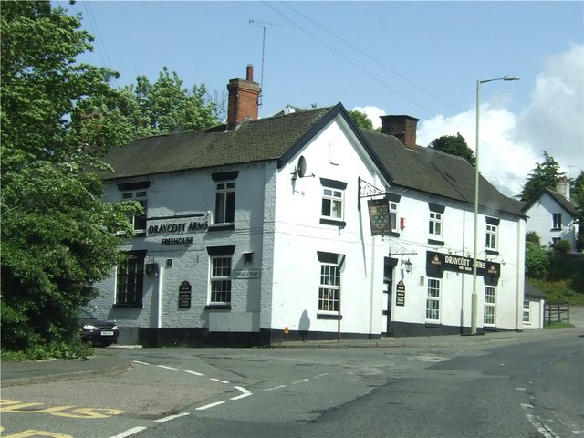
The village itself offers a range of amenities and facilities to cater to the needs of its residents. These include a primary school, village hall, and a local pub, providing a focal point for social gatherings. Additionally, there are several shops and businesses that serve the community, ensuring that residents have easy access to essential goods and services.
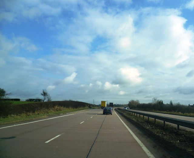
Draycott in the Moors is surrounded by beautiful countryside, making it an ideal location for outdoor enthusiasts. The area provides numerous walking and cycling routes, allowing residents and visitors to explore the stunning natural surroundings. The nearby Blythe Bridge railway station offers convenient transportation links to nearby towns and cities, providing further accessibility for residents.
Overall, Draycott in the Moors is a charming and peaceful village that offers a close-knit community, a rich history, and access to the stunning Staffordshire Moorlands.
If you have any feedback on the listing, please let us know in the comments section below.
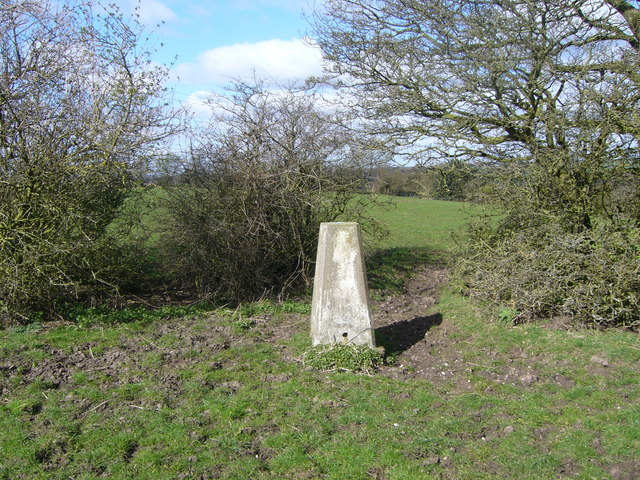
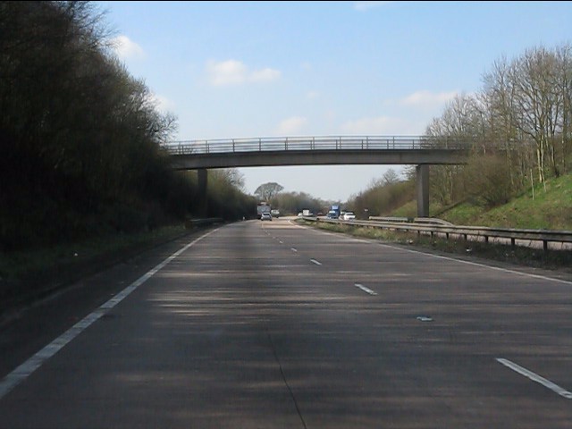
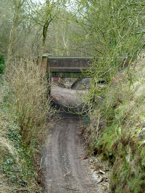
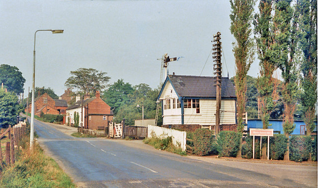
Draycott in the Moors Images
Images are sourced within 2km of 52.94792/-2.028855 or Grid Reference SJ9838. Thanks to Geograph Open Source API. All images are credited.


Draycott in the Moors is located at Grid Ref: SJ9838 (Lat: 52.94792, Lng: -2.028855)
Administrative County: Staffordshire
District: Staffordshire Moorlands
Police Authority: Staffordshire
What 3 Words
///stirs.flipping.rezoning. Near Cheadle, Staffordshire
Nearby Locations
Related Wikis

Cresswell railway station
Cresswell railway station was a railway station located on the Stoke-Derby line at Cresswell, Staffordshire, England. It was opened by the North Staffordshire...

Cresswell, Staffordshire
Cresswell is a hamlet in Staffordshire, England. It is approximately one mile SE of Blythe Bridge and has a population of approximately 300. From the 2011...
Draycott in the Moors
Draycott in the Moors is a village in Staffordshire, England. It is between Stoke on Trent and Uttoxeter near the River Blythe. It is two and a half miles...
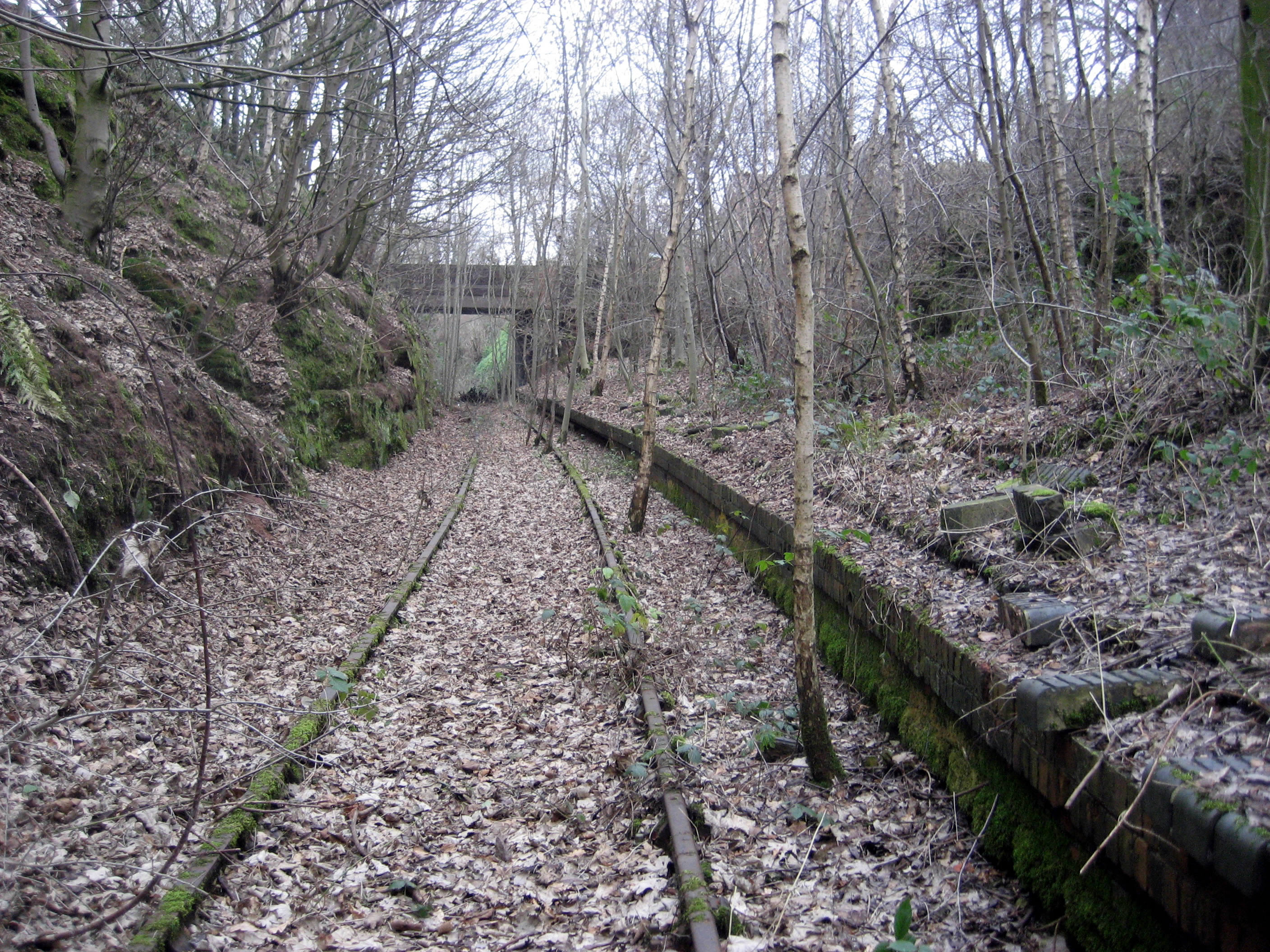
Tean railway station
Tean railway station was a railway station located on the Cheadle Branch Line at Totmonslow, Staffordshire. It was opened as Totmonslow in 1892 and was...

Boundary, Staffordshire
Boundary is a village in the civil parish of Forsbrook, in the Staffordshire Moorlands district, in the county of Staffordshire, England, near to the town...
Tean, Staffordshire
Tean is a large village in Staffordshire, England. It is around 15 miles (24 km) south-east of Stoke-on-Trent. The River Tean runs through the village...

Fulford, Staffordshire
Fulford is a village and civil parish about 5 miles (8 km) north east of Stone, in the Stafford district, in the county of Staffordshire, England. The...

Forsbrook
Forsbrook is a village in Staffordshire, around three miles southwest of Cheadle and situated on the edge of the Staffordshire Moorlands. It is an old...
Related Videos

Walking Dead - Vox Populi
Rehearsal at Axis Studios.

£14.95 For 4 Course Meal Sunday To Thursday @GANDHIST11 #food #restaurant #foodie #love #delicious
14.95 For 4 Course Meal Sundry To Thursday At Gandhi Indian Restaurant www.thegandhis.co.uk Gandhi Indian Restaurant ...

Christmas Party’s - Curry - Big Group’s - @GANDHIST11 #restaurant #food #christmas #foodie #love
Christmas Office Parties - @GANDHIST11 Best Indian Restaurant in Staffordshire Local Indian Restaurant in Stafford Local Indian ...

Open During Christmas Holiday Season - Gandhi Indian Restaurant & Takeaway #food #restaurant #love
We Are Open During Christmas Holiday Season @GANDHIST11 Book Now For Christmas Parties We Are Open as Usual Gandhi ...
Nearby Amenities
Located within 500m of 52.94792,-2.028855Have you been to Draycott in the Moors?
Leave your review of Draycott in the Moors below (or comments, questions and feedback).