Broadoak
Settlement in Gloucestershire Forest of Dean
England
Broadoak
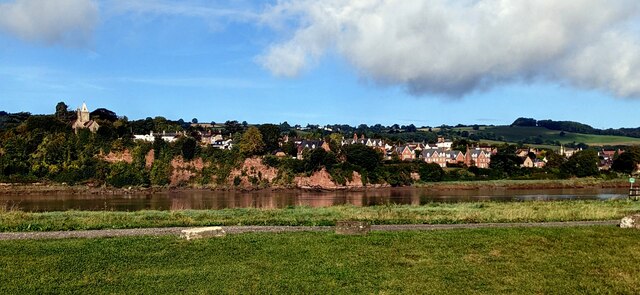
Broadoak is a small village located in the county of Gloucestershire, England. Situated approximately 6 miles south of Gloucester, the village is nestled in the picturesque countryside of the Severn Vale. With a population of around 500 residents, it maintains a close-knit community atmosphere.
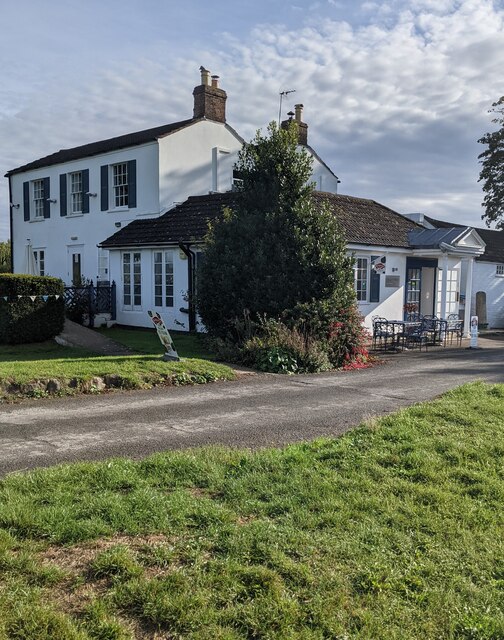
The village is characterized by its charming traditional cottages, many of which date back several centuries. These properties are predominantly constructed from the local stone, giving Broadoak a distinct rustic charm. The village is surrounded by rolling green fields, providing breathtaking views of the countryside.
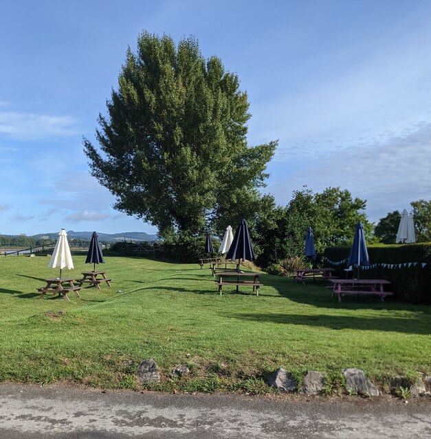
Despite its small size, Broadoak has a strong sense of community. It boasts several amenities including a village hall, a primary school, and a local pub. The village hall serves as a hub for various community activities and events, fostering a sense of togetherness among the residents.
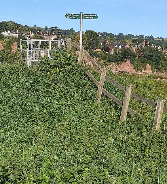
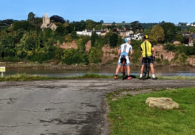
The surrounding area offers plenty of opportunities for outdoor enthusiasts. The nearby River Severn provides a scenic backdrop for leisurely walks and picnics, while also attracting anglers and boating enthusiasts. Additionally, the Cotswolds, renowned for their natural beauty, are within easy reach from Broadoak, offering a wealth of hiking and cycling trails.
Broadoak benefits from its proximity to larger towns and cities. Gloucester, the county town, provides a range of amenities including shopping centers, restaurants, and cultural attractions. The village also enjoys excellent transport links, with the M5 motorway just a short drive away, connecting residents to other parts of the country.
In summary, Broadoak is a picturesque village in Gloucestershire, offering a tranquil and close-knit community atmosphere. Its idyllic countryside location, coupled with its proximity to larger towns, makes it an attractive place to live for those seeking a peaceful rural lifestyle with access to modern amenities.
If you have any feedback on the listing, please let us know in the comments section below.
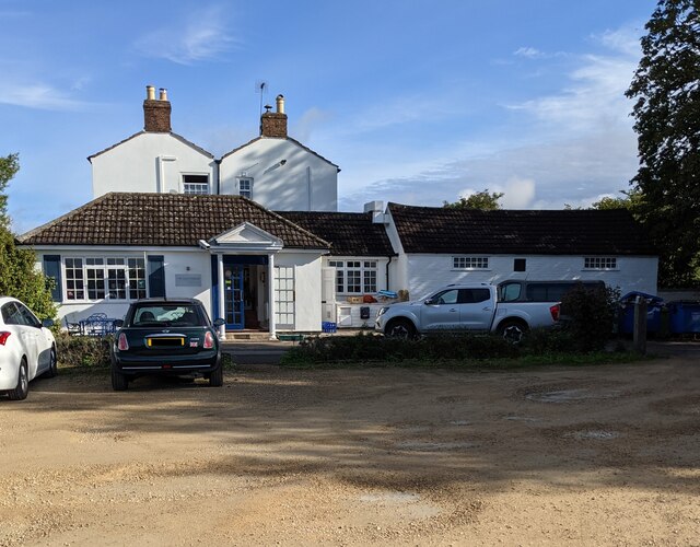
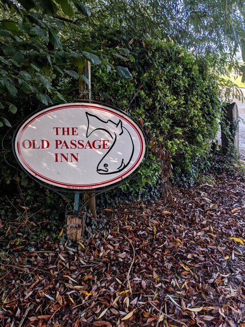
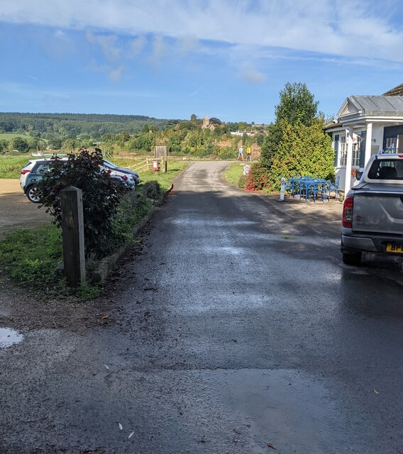
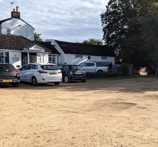
Broadoak Images
Images are sourced within 2km of 51.81649/-2.435184 or Grid Reference SO7013. Thanks to Geograph Open Source API. All images are credited.


Broadoak is located at Grid Ref: SO7013 (Lat: 51.81649, Lng: -2.435184)
Administrative County: Gloucestershire
District: Forest of Dean
Police Authority: Gloucestershire
What 3 Words
///bombard.legend.campsites. Near Cinderford, Gloucestershire
Nearby Locations
Related Wikis
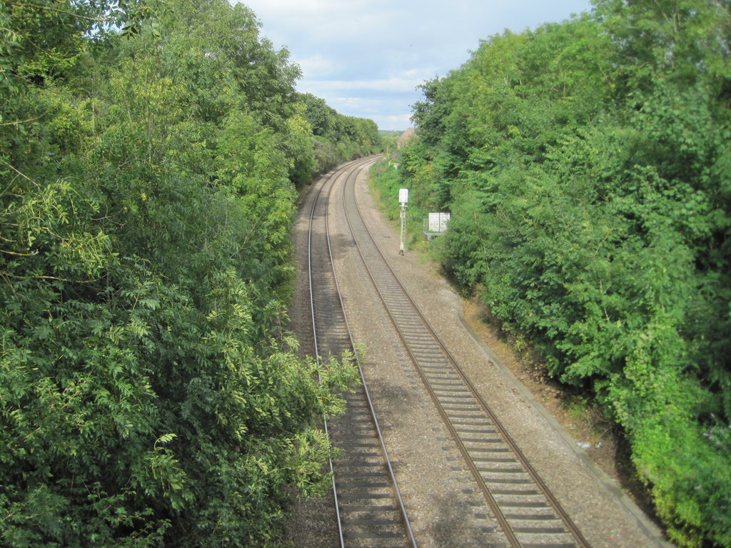
Newnham railway station
Newnham railway station was a station serving the village of Newnham on Severn, Gloucestershire. == History == The South Wales Railway was formed in 1845...

Westbury-on-Severn Halt railway station
Westbury-on-Severn Halt railway station served the village of Westbury-on-Severn, Gloucestershire, England, from 1928 to 1959 on the South Wales Railway...

Garden Cliff
Garden Cliff (grid reference SO718128) is a 5.1-hectare (13-acre) geological Site of Special Scientific Interest in Gloucestershire, notified in 1954....

Westbury-on-Severn
Westbury-on-Severn is a rural village in England that is the centre of the large, rural parish, also called Westbury-on-Severn. == Location == The village...

Newnham on Severn
Newnham or Newnham on Severn is a village in west Gloucestershire, England. It lies in the Royal Forest of Dean, on the west bank of the River Severn,...

Westbury Court Garden
Westbury Court Garden is a Dutch water garden in Westbury-on-Severn, Gloucestershire, England, 9 miles (14 km) southwest of Gloucester. It is a rare survival...

Flaxley
Flaxley is a small settlement and former civil parish, now in the parish of Blaisdon, in the Forest of Dean, Gloucestershire, England. It is located in...

Pope's Hill
Pope's Hill is a hill and a small village situated in the east of the Forest of Dean, Gloucestershire within the parish of Littledean. The hill is 12 miles...
Nearby Amenities
Located within 500m of 51.81649,-2.435184Have you been to Broadoak?
Leave your review of Broadoak below (or comments, questions and feedback).