Drakes Broughton and Wadborough

Civil Parish in Worcestershire Wychavon

England

Drakes Broughton and Wadborough

Winding lane west of Besford Bridge
Winding lane west of Besford Bridge Credit: Peter Whatley

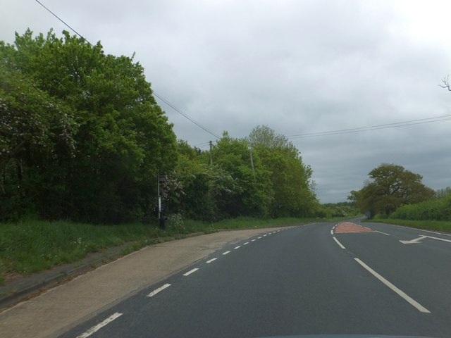
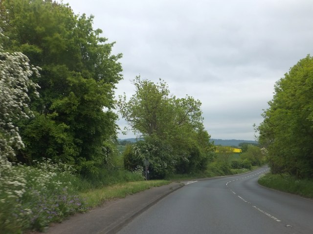
Drakes Broughton and Wadborough is a civil parish located in the county of Worcestershire, England. The parish is situated approximately 5 miles east of the city of Worcester and covers an area of around 5 square miles.

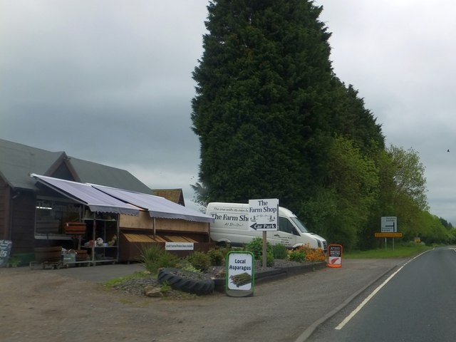
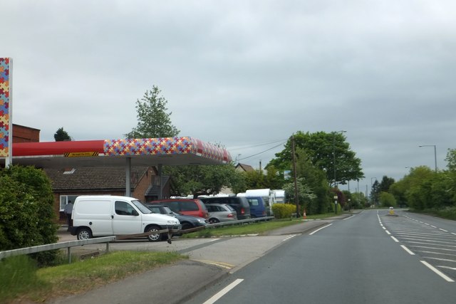
Drakes Broughton is a small village within the parish, known for its picturesque countryside and charming rural setting. The village is home to a population of around 1,000 residents and features a range of amenities, including a primary school, a village hall, a post office, and a few local shops. The village is well-connected by road, with easy access to nearby towns and cities.

Wadborough is a hamlet situated just south of Drakes Broughton. It is a smaller settlement with a population of around 300 people. Wadborough is known for its historic buildings and beautiful landscapes, making it a popular destination for nature enthusiasts and walkers.

The civil parish of Drakes Broughton and Wadborough offers a peaceful and tight-knit community, with a strong sense of local pride. Residents enjoy a range of local events and activities, such as the annual village fĂȘte and various social clubs.

Overall, Drakes Broughton and Wadborough provide a tranquil and idyllic countryside setting, with a close-knit community and convenient access to nearby amenities.

If you have any feedback on the listing, please let us know in the comments section below.

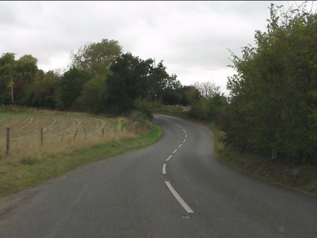
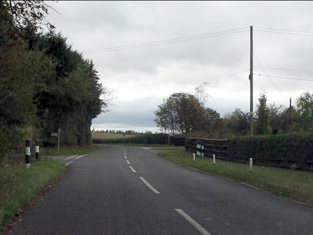
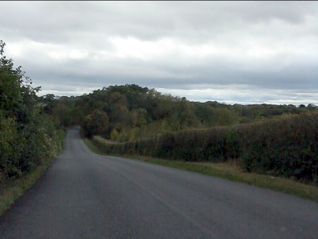
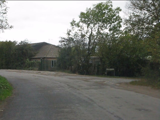
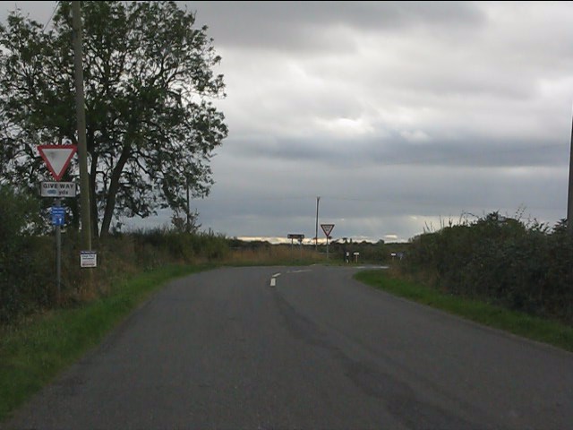
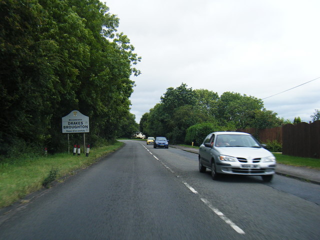
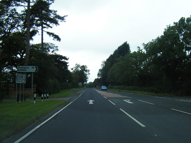
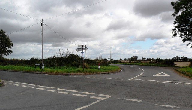
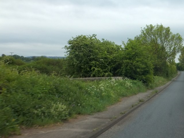
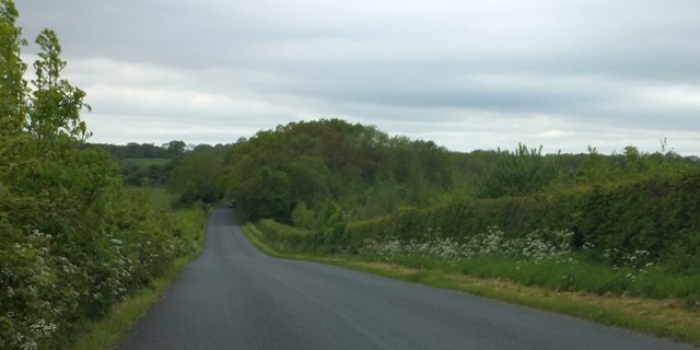
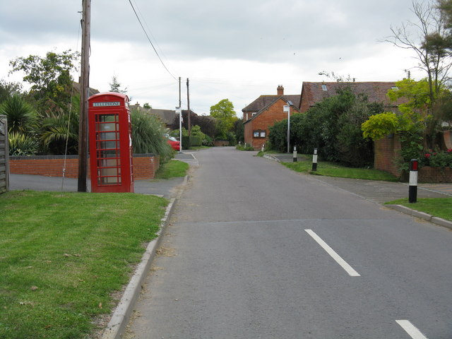
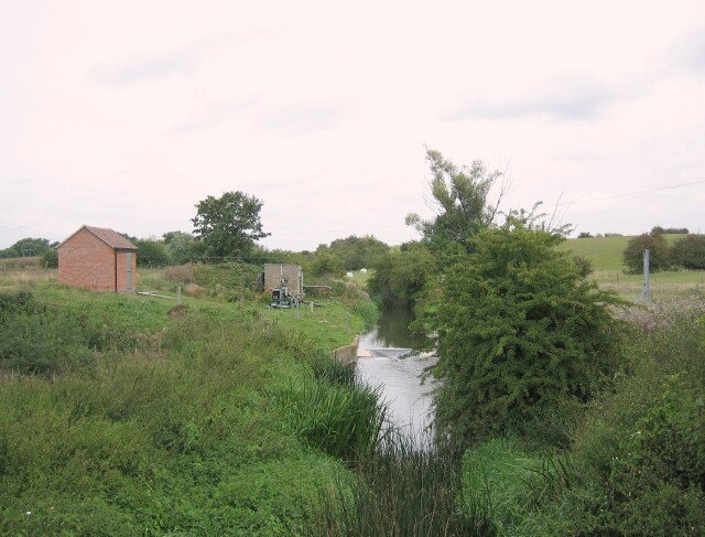
Drakes Broughton and Wadborough Images

Images are sourced within 2km of 52.12782/-2.125115 or Grid Reference SO9147. Thanks to Geograph Open Source API. All images are credited.

Winding lane west of Besford Bridge
Ramsden crossroads
Ramsden crossroads
View from the summit west of Ramsden
Crabbe Lane junction
Approaching the crossroads
B4084 at Drakes Broughton boundary
B4084 south of Windmill Hill
Crossroads near Wadborough
Farm shop on B4084 at Windmill Hill
Bus stop on B4084 at Windmill Hill The road is marked for the turning to the village of Windmill Hill, a short distance north of the main road to Pershore.  This stop serves the village.
Bus stop on B4084 at Windmill Hill
The road is marked for the turning to the village of Windmill Hill, a short distance north of the main road to Pershore. This stop serves the village.
Garage on B4084 at Drake's Broughton
B4084 descending to Ufnell Bridge The turning on the left is for a minor road to the southern edge of Drake's Broughton.  Bredon Hill is on the horizon
B4084 descending to Ufnell Bridge
The turning on the left is for a minor road to the southern edge of Drake's Broughton. Bredon Hill is on the horizon
Ufnell Bridge The parapet beside the B4084 is almost hidden by the wild flowers
Ufnell Bridge
The parapet beside the B4084 is almost hidden by the wild flowers
B4084 passing semi-detached houses near Ufnell Bridge Presumably these houses were built for farm workers, away from local villages and convenient for the farms
B4084 passing semi-detached houses near Ufnell Bridge
Presumably these houses were built for farm workers, away from local villages and convenient for the farms
Woodland west of Ramsden This minor road is named Rebecca Road
Woodland west of Ramsden
This minor road is named Rebecca Road
Woodland at the junction of Rebecca Road and Crabbe Lane One of the local buildings is The Crabbe - hence the name of the lane on the right.  The footpath on the left is part of the Millennium Way
Woodland at the junction of Rebecca Road and Crabbe Lane
One of the local buildings is The Crabbe - hence the name of the lane on the right. The footpath on the left is part of the Millennium Way
Half a signpost for a footpath off Rebecca Road The footpath crosses a field on the left.  An aerial view shows little sign of it being used, and an older map shows that the field was once wooded, so the path was a route through the woodland.
Half a signpost for a footpath off Rebecca Road
The footpath crosses a field on the left. An aerial view shows little sign of it being used, and an older map shows that the field was once wooded, so the path was a route through the woodland.
Rebecca Road and Croome Perry Wood
Show me another place!

Drakes Broughton and Wadborough is located at Grid Ref: SO9147 (Lat: 52.12782, Lng: -2.125115)

Administrative County: Worcestershire

District: Wychavon

Police Authority: West Mercia

What 3 Words

///jolt.backward.flock. Near Pershore, Worcestershire

Related Wikis

Wadborough

Wadborough is a small village 2 miles outside Pershore and 7 miles from Worcester. The village is in Worcestershire, England. The village is an old farming...

Drakes Broughton

Drakes Broughton is a village in Worcestershire, England. The village is located on the B4084 road (previously the A44) 2 miles north-west of Pershore...

Ramsden, Worcestershire

Ramsden is a hamlet in the English county of Worcestershire. Ramsden is located due west of the town of Pershore. It lies on the Regional Cycle Route 46...

Hawbridge

Hawbridge is a village in Worcestershire, England. == References ==

Besford Bridge

Besford Bridge is a village in Worcestershire, England.

Kempsey railway station (Worcestershire)

Kempsey railway station, also known as Pirton railway station, served the village of Kempsey, Worcestershire, England, from 1841 to 1844 on the Birmingham...

Pirton railway station

Pirton railway station, also known as Kempsey railway station, served the village of Pirton, Worcestershire, England, from 1841 to 1844 on the Birmingham...

Stoulton railway station

Stoulton railway station was a station to the northwest of Drakes Broughton, Worcestershire, England. The station was opened in 1899 and closed in 1966...

Nearby Amenities

Located within 500m of 52.12782,-2.125115
Power: pole
Lat/Long: 52.130559/-2.1202433
Mill Rough
Power: pole
Transformer: distribution
Voltage Primary: 11000
Lat/Long: 52.131262/-2.1231683
Power: pole
Lat/Long: 52.1306668/-2.122094
Power: pole
Lat/Long: 52.1301626/-2.1211526
Power: pole
Lat/Long: 52.1297868/-2.1220149
Power: pole
Lat/Long: 52.1291185/-2.1272001
Power: pole
Lat/Long: 52.1296885/-2.1275515
Power: pole
Lat/Long: 52.1302504/-2.1279203
Power: pole
Lat/Long: 52.1299391/-2.1231106
Power: pole
Lat/Long: 52.1296345/-2.1243739
Power: pole
Lat/Long: 52.1293422/-2.1255997
Power: pole
Lat/Long: 52.1306216/-2.1281317
Caldewell Mill
Power: pole
Transformer: distribution
Voltage Primary: 11000
Lat/Long: 52.13133/-2.1272962
Power: pole
Lat/Long: 52.1310702/-2.1279748
Power: pole
Lat/Long: 52.130822/-2.1286185
The data included in this document is from www.openstreetmap.org. The data is made available under ODbL.

Have you been to Drakes Broughton and Wadborough?

Leave your review of Drakes Broughton and Wadborough below (or comments, questions and feedback).