Callan's Wood
Wood, Forest in Worcestershire Wychavon
England
Callan's Wood
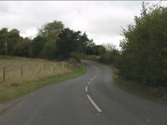
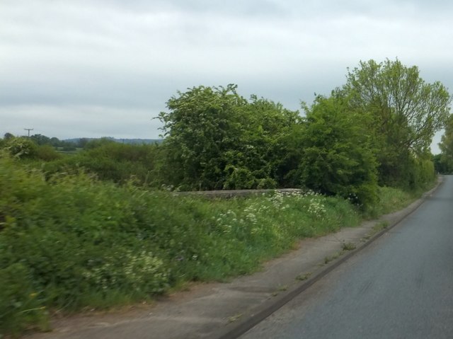
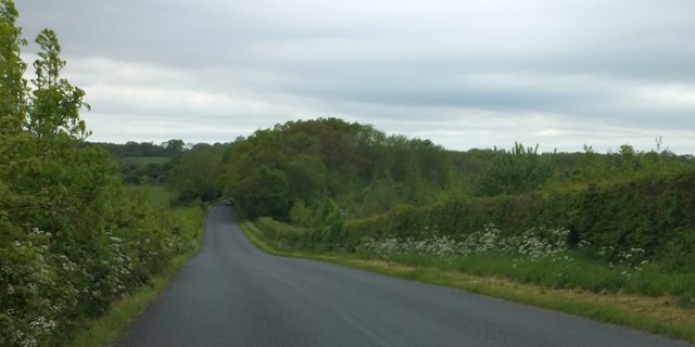
Callan's Wood is a picturesque woodland area located in Worcestershire, England. Covering an extensive area, this enchanting forest is known for its natural beauty and diverse wildlife. The wood is named after the nearby village of Callan, adding a touch of local history to the area.
The woodland is predominantly made up of ancient oak trees, giving it a majestic and timeless atmosphere. The thick canopy of leaves provides a cool and refreshing ambiance, making it an ideal spot for a peaceful walk or a family picnic. The forest floor is covered in a carpet of vibrant wildflowers, adding bursts of color to the landscape.
Callan's Wood is not only a haven for nature enthusiasts but also a sanctuary for wildlife. The forest is home to a wide variety of animal species, including deer, foxes, badgers, and an array of bird species. Birdwatchers will be delighted by the opportunity to spot woodpeckers, owls, and other feathered creatures that call this woodland their home.
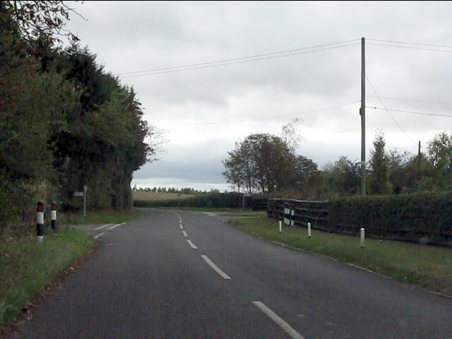
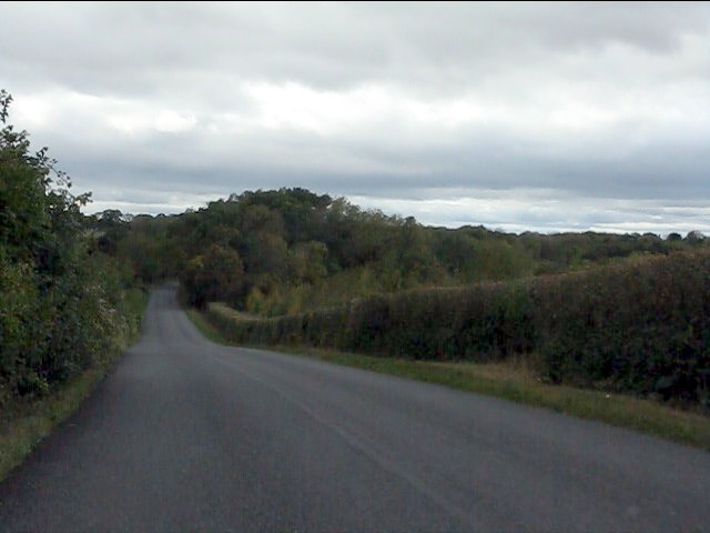
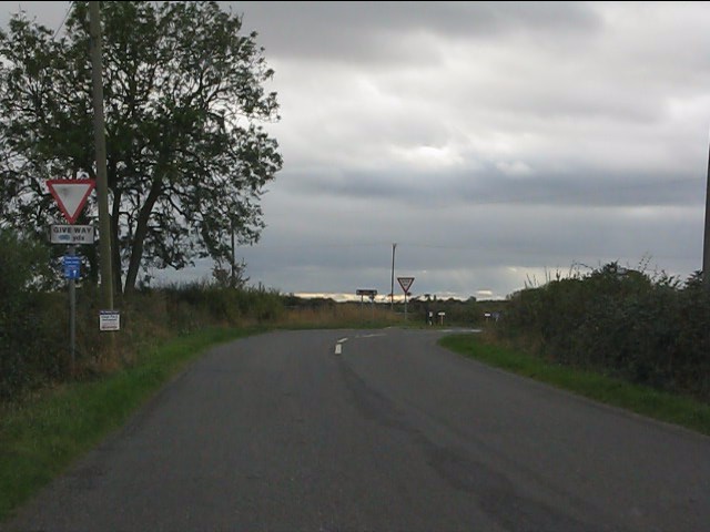
Walking trails wind their way through the forest, offering visitors the chance to explore this natural treasure at their own pace. The paths are well-maintained, making it accessible for all ages and abilities. Along the way, there are informative signposts that provide interesting facts about the flora and fauna found within the wood.
Callan's Wood, Worcestershire, is a place of tranquility and natural beauty, offering visitors a chance to escape the hustle and bustle of everyday life and immerse themselves in the wonders of the woodland. Whether you are a nature lover, a keen photographer, or simply seeking a peaceful retreat, Callan's Wood is a must-visit destination in Worcestershire.
If you have any feedback on the listing, please let us know in the comments section below.
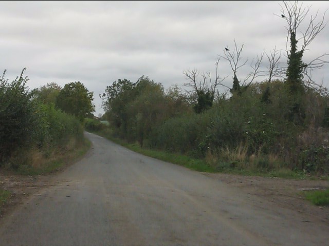
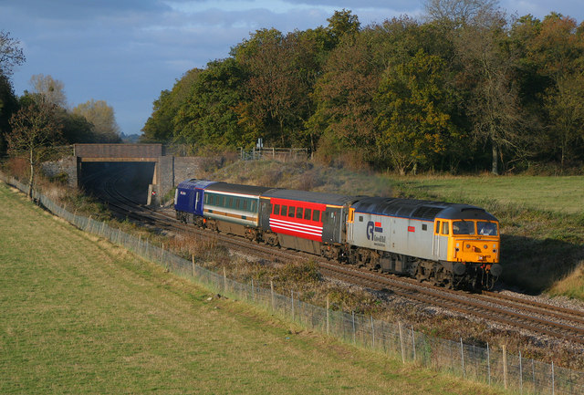
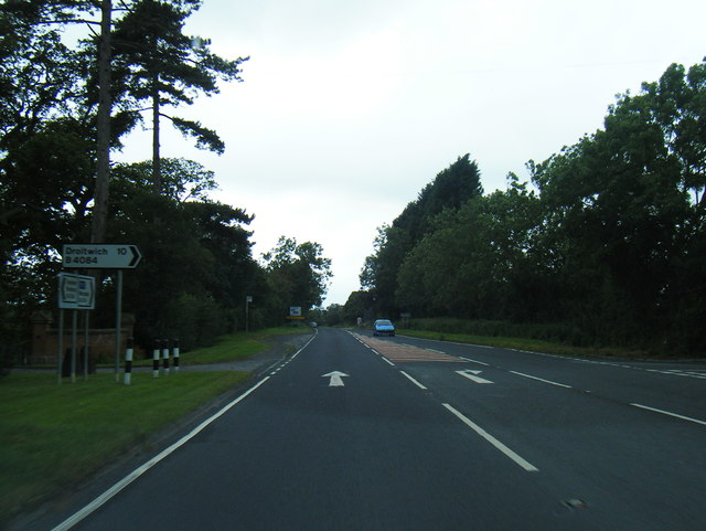
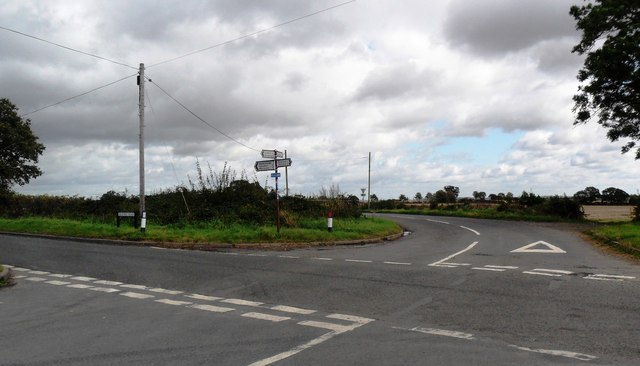
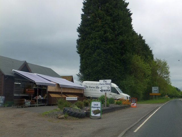
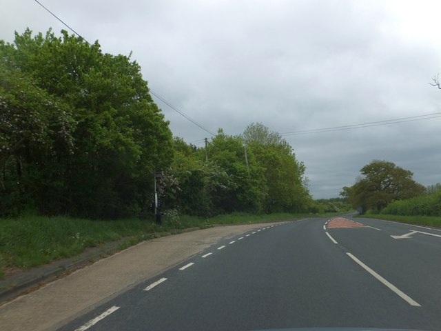
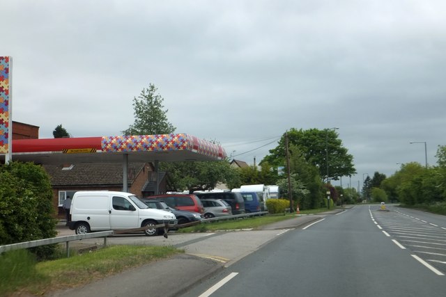
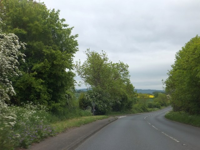
Callan's Wood Images
Images are sourced within 2km of 52.122293/-2.1321089 or Grid Reference SO9147. Thanks to Geograph Open Source API. All images are credited.
Callan's Wood is located at Grid Ref: SO9147 (Lat: 52.122293, Lng: -2.1321089)
Administrative County: Worcestershire
District: Wychavon
Police Authority: West Mercia
What 3 Words
///obstinate.means.cute. Near Pershore, Worcestershire
Nearby Locations
Related Wikis
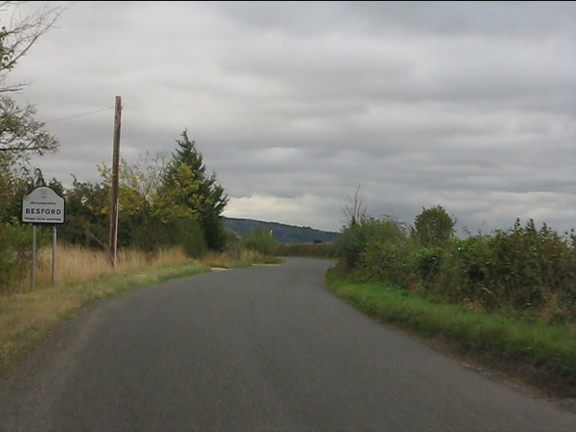
Wadborough
Wadborough is a small village 2 miles outside Pershore and 7 miles from Worcester. The village is in Worcestershire, England. The village is an old farming...

Kempsey railway station (Worcestershire)
Kempsey railway station, also known as Pirton railway station, served the village of Kempsey, Worcestershire, England, from 1841 to 1844 on the Birmingham...
Pirton railway station
Pirton railway station, also known as Kempsey railway station, served the village of Pirton, Worcestershire, England, from 1841 to 1844 on the Birmingham...
Ramsden, Worcestershire
Ramsden is a hamlet in the English county of Worcestershire. Ramsden is located due west of the town of Pershore. It lies on the Regional Cycle Route 46...
Besford Bridge
Besford Bridge is a village in Worcestershire, England.

Wadborough railway station
Wadborough railway station was located in Wadborough, Worcestershire. It opened in 1841 and closed in January 1965. It was situated to the west on the...
Drakes Broughton
Drakes Broughton is a village in Worcestershire, England. The village is located on the B4084 road (previously the A44) 2 miles north-west of Pershore...
Besford railway station
Besford railway station served the village of Besford, Worcestershire, England, from 1841 to 1846 on the Birmingham and Gloucester Railway. == History... ==
Nearby Amenities
Located within 500m of 52.122293,-2.1321089Have you been to Callan's Wood?
Leave your review of Callan's Wood below (or comments, questions and feedback).