Broadmore Green
Settlement in Worcestershire Malvern Hills
England
Broadmore Green
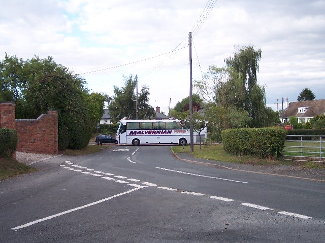
Broadmore Green is a small village located in the county of Worcestershire, England. Situated approximately 5 miles north of the bustling market town of Evesham, this rural community offers a tranquil and picturesque setting for its residents.
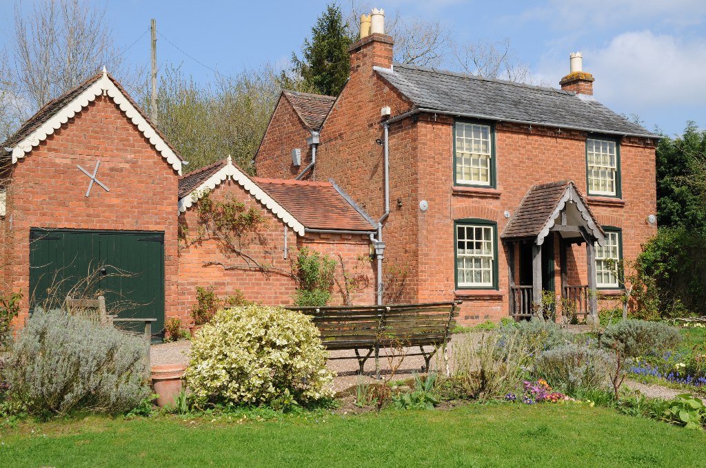
The village is characterized by its charming thatched cottages and traditional stone buildings, which provide a glimpse into its rich history. Surrounded by sprawling green fields and enchanting woodland, Broadmore Green boasts an idyllic countryside landscape that attracts nature lovers and outdoor enthusiasts.
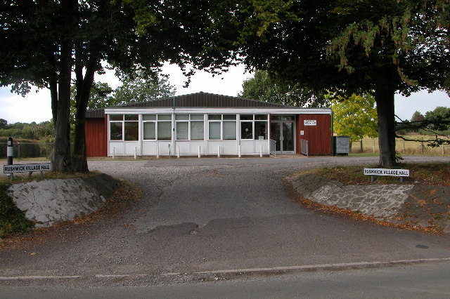
Despite its small size, the village has a strong sense of community, with residents actively participating in local events and activities. The village hall serves as a hub for social gatherings and provides a space for various clubs and societies to meet. The local primary school plays a pivotal role in the village, providing education for the younger population.
Broadmore Green benefits from its close proximity to Evesham, offering easy access to a range of amenities and services. The town provides ample shopping opportunities, including supermarkets, boutiques, and a weekly market. Additionally, Evesham offers a variety of dining options, ranging from quaint cafes to sophisticated restaurants.
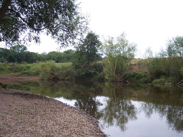
For those seeking outdoor pursuits, the nearby countryside offers an array of walking and cycling routes, with the Cotswolds Area of Outstanding Natural Beauty just a short drive away. The River Avon also runs close by, providing opportunities for fishing and boating.
In summary, Broadmore Green is a charming village nestled in the heart of Worcestershire's countryside. With its rich history, strong community spirit, and access to amenities, it offers a peaceful and picturesque lifestyle to its residents.
If you have any feedback on the listing, please let us know in the comments section below.
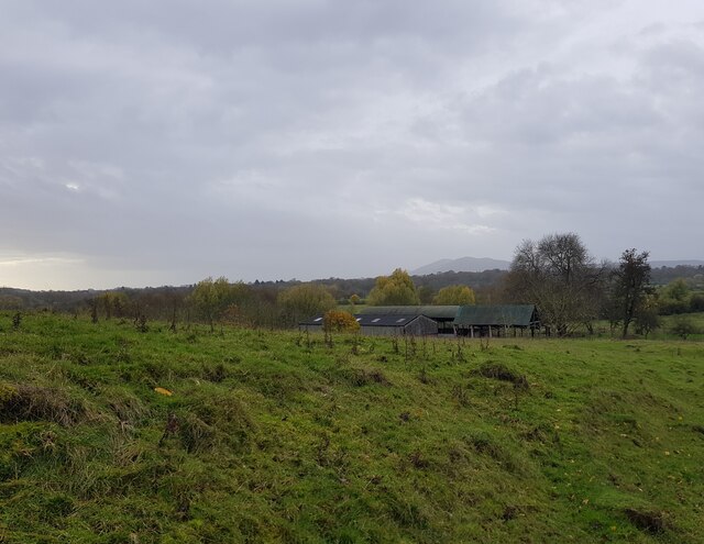
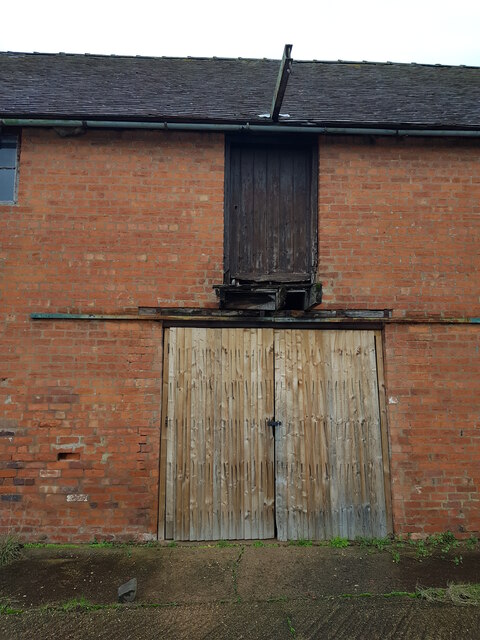
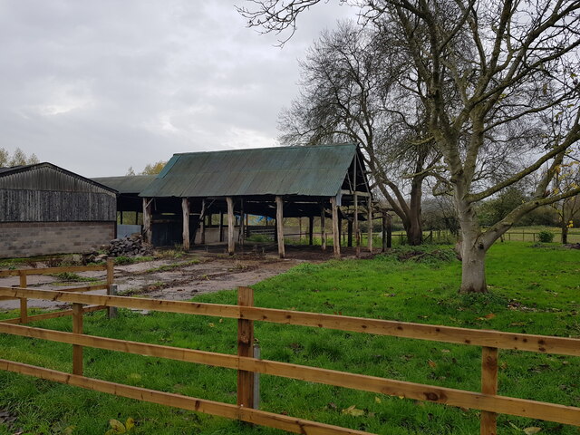
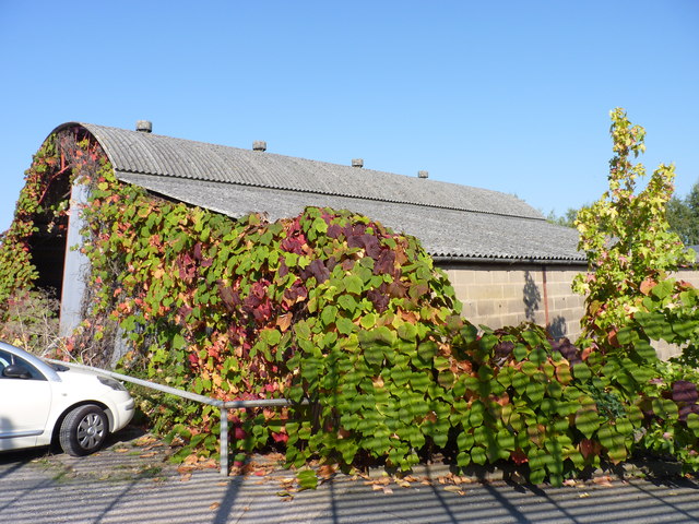
Broadmore Green Images
Images are sourced within 2km of 52.1808/-2.271094 or Grid Reference SO8153. Thanks to Geograph Open Source API. All images are credited.


Broadmore Green is located at Grid Ref: SO8153 (Lat: 52.1808, Lng: -2.271094)
Administrative County: Worcestershire
District: Malvern Hills
Police Authority: West Mercia
What 3 Words
///bulges.carefully.lifted. Near Worcester, Worcestershire
Nearby Locations
Related Wikis
Rushwick
Rushwick is a village and civil parish in the Malvern Hills District in the county of Worcestershire, England. It is situated to the west of Worcester...

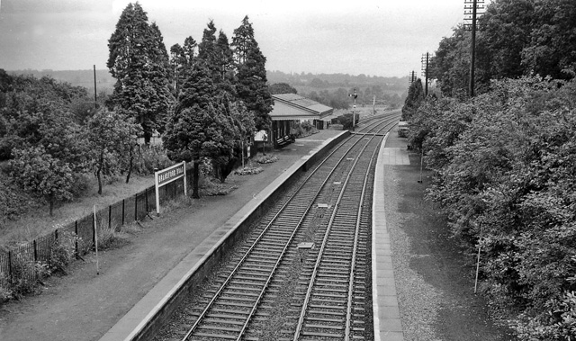
Rushwick Halt railway station
Rushwick Halt railway station was a station in Rushwick, Worcestershire, England. The station was opened on 31 March 1924 and closed on 5 April 1965....

Upper Wick
Upper Wick is a hamlet in the parish of Rushwick, Worcestershire. Ralph Ardern inherited the manor of Upper Wick between 1382 (the death of his father...

Sentinel Valve Works
The Sentinel Valve Works Ltd was a British company based in Worcester, England, that made medium, large and enormous valves initially for civic clean water...
Boughton Halt railway station
Boughton Halt railway station was a station in St Johns, Worcester, Worcestershire, England. The station was opened on 31 March 1924 and closed on 5 April...
Bransford Road railway station
Bransford Road railway station was a station in Bransford, Worcestershire, England. The station was opened in 1860 and closed on 5 April 1965. The original...

Dines Green
Dines Green is a suburb of Worcester in England, and lies in the St. John ward in the west of the city . Initially developed as council housing, the estate...
Elgar Birthplace Museum
The Firs in Lower Broadheath, Worcestershire, England was the birthplace of Edward Elgar. The cottage now houses a museum administered by the National...
Nearby Amenities
Located within 500m of 52.1808,-2.271094Have you been to Broadmore Green?
Leave your review of Broadmore Green below (or comments, questions and feedback).