Donington on Bain
Civil Parish in Lincolnshire East Lindsey
England
Donington on Bain

Donington on Bain is a civil parish located in the East Lindsey district of Lincolnshire, England. Situated in the heart of the Lincolnshire Wolds, it covers an area of approximately 5.5 square kilometers and is home to a small population of around 200 residents.
The village of Donington on Bain is nestled alongside the River Bain, which is the shortest river in the United Kingdom. The surrounding landscape is characterized by rolling hills, lush green meadows, and picturesque countryside views, making it an idyllic location for nature enthusiasts and outdoor activities.
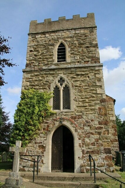
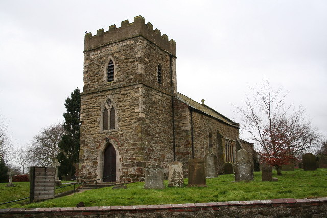
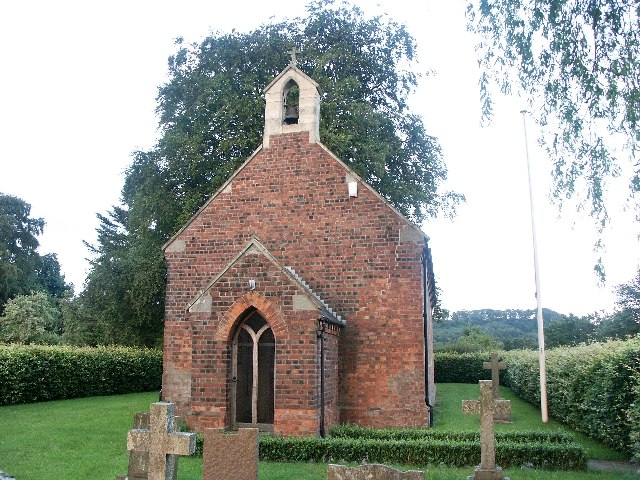
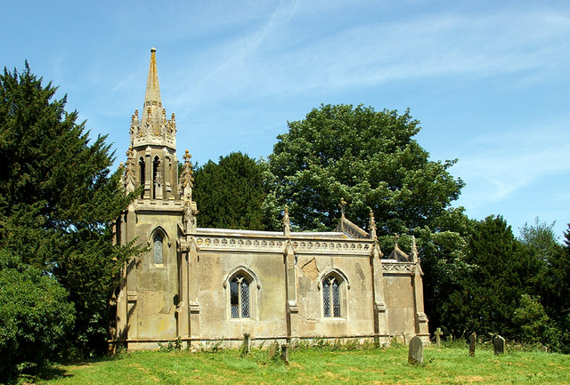
The village itself boasts a range of amenities, including a primary school, a village hall, and a charming 13th-century church dedicated to St. Andrew. The church is considered a prominent landmark and features a stunning stained glass window and a historic churchyard.
Donington on Bain is well-connected to nearby towns and cities, with Louth located approximately 7 kilometers to the northeast and Horncastle around 14 kilometers to the southwest. The village is also within easy reach of the Lincolnshire coast, offering residents and visitors the opportunity to enjoy the beaches and coastal attractions.
The local economy is primarily focused on agriculture, with many residents involved in farming and livestock rearing. The village's rural setting and tranquil atmosphere make it an attractive place to live for those seeking a peaceful and close-knit community.
Overall, Donington on Bain is a charming and picturesque civil parish that offers residents and visitors a rural escape in the heart of the Lincolnshire Wolds.
If you have any feedback on the listing, please let us know in the comments section below.
Donington on Bain Images
Images are sourced within 2km of 53.330932/-0.13008 or Grid Reference TF2483. Thanks to Geograph Open Source API. All images are credited.


Donington on Bain is located at Grid Ref: TF2483 (Lat: 53.330932, Lng: -0.13008)
Administrative County: Lincolnshire
District: East Lindsey
Police Authority: Lincolnshire
What 3 Words
///haircuts.tennis.slippers. Near Louth, Lincolnshire
Nearby Locations
Related Wikis

RAF Stenigot
RAF Stenigot is a former Second World War radar station situated at Stenigot, near Donington on Bain, Lincolnshire. == Second World War == It was built...
Donington on Bain
Donington on Bain is a village and civil parish in the East Lindsey district of Lincolnshire, England. The village is approximately 6 miles (10 km) south...
Louth to Bardney Line
The Louth to Bardney Line was an English railway line built by the Louth and Lincoln Railway Company, in Lincolnshire, England. It opened in stages between...
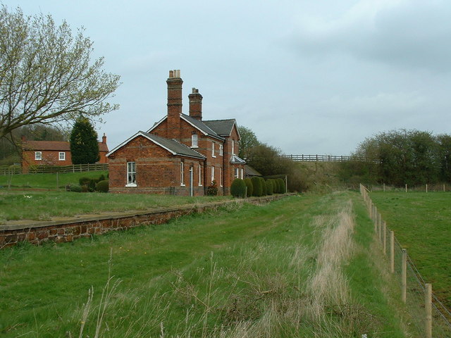
Donington on Bain railway station
Donington railway station was a station in the village of Donington on Bain, Lincolnshire, England. == History == The Great Northern Railway planned and...
Stenigot
Stenigot is a village in the East Lindsey district of Lincolnshire, England. It is in the Lincolnshire Wolds, a designated Area of Outstanding Natural...
Biscathorpe
Biscathorpe is an ecclesiastical parish, deserted medieval village and former civil parish, now in the parish of Gayton le Wold, in the East Lindsey district...
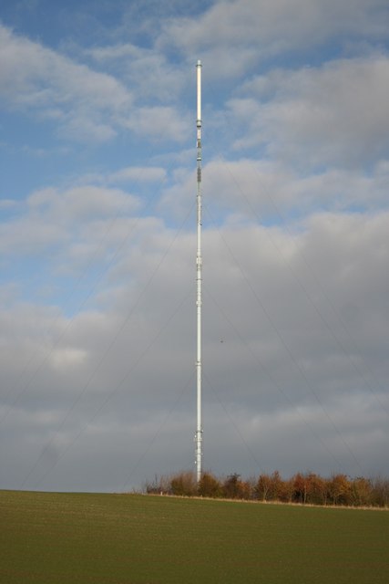
Belmont transmitting station
The Belmont transmitting station is a broadcasting and telecommunications facility next to the B1225, 1 mile (1.6 km) west of the village of Donington...

Lincolnshire Wolds
The Lincolnshire Wolds are a range of low hills in the county of Lincolnshire, England which run roughly parallel with the North Sea coast, from the Humber...
Have you been to Donington on Bain?
Leave your review of Donington on Bain below (or comments, questions and feedback).