Donington

Civil Parish in Shropshire

England

Donington

Gate Guardian A Hawker Hunter stands guard at the entrance to RAF Cosford museum.
Gate Guardian Credit: Robert Struthers

The requested URL returned error: 429 Too Many Requests

If you have any feedback on the listing, please let us know in the comments section below.
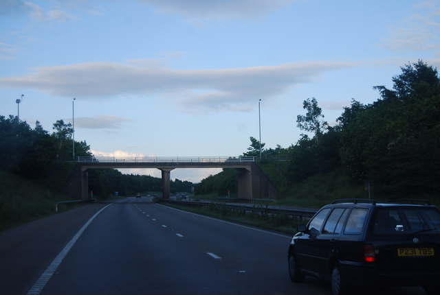
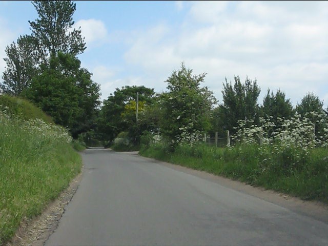
Donington Images

Images are sourced within 2km of 52.647076/-2.280442 or Grid Reference SJ8105. Thanks to Geograph Open Source API. All images are credited.

Gate Guardian A Hawker Hunter stands guard at the entrance to RAF Cosford museum.
Gate Guardian
A Hawker Hunter stands guard at the entrance to RAF Cosford museum.
Grass-covered hangar The North-Western corner of one of the grass-covered hangars on Cosford airfield, showing the distinctive curved roof-structure. The doors of another hangar may be glimpsed behind. This view was taken whilst accompanying a friend who was at the airfield for a glider flight.
Grass-covered hangar
The North-Western corner of one of the grass-covered hangars on Cosford airfield, showing the distinctive curved roof-structure. The doors of another hangar may be glimpsed behind. This view was taken whilst accompanying a friend who was at the airfield for a glider flight.
Two hangars at RAF Cosford, near Albrighton Two of the grass covered hangars at this RAF base. The land in the foreground appears to be in agricultural use. Photographed from Bowling Green Lane.

<a href="https://www.geograph.org.uk/photo/2763485">SJ7904 : Hangar no. 7, RAF Cosford, near Albrighton</a>.
Two hangars at RAF Cosford, near Albrighton
Two of the grass covered hangars at this RAF base. The land in the foreground appears to be in agricultural use. Photographed from Bowling Green Lane. SJ7904 : Hangar no. 7, RAF Cosford, near Albrighton.
Northbound A41 nearing the M54 junction
Cosford Station Rebuilt (or refurbished) at a cost of roughly £2m in late 2011, Cosford Station is open for business again. The old wooden structure was completely replaced by a steel-framed one, with new platforms and waiting shelters, plus the now-obligatory passenger information systems.
Cosford Station
Rebuilt (or refurbished) at a cost of roughly £2m in late 2011, Cosford Station is open for business again. The old wooden structure was completely replaced by a steel-framed one, with new platforms and waiting shelters, plus the now-obligatory passenger information systems.
M54, Junction 3 overbridges The M54 is a 23 mile east-west motorway in Shropshire and Staffordshire. It is a two-lane dual carriageway for the majority of its length, with sections of three-lane.
The M54 spur connects the M6 motorway near Essington, Staffordshire with the A5 trunk road at Wellington, Shropshire. The motorway forms part of the route to North Wales, roughly following the path of the Roman Watling Street and the A5 north-westwards, towards the port of Holyhead.
M54, Junction 3 overbridges
The M54 is a 23 mile east-west motorway in Shropshire and Staffordshire. It is a two-lane dual carriageway for the majority of its length, with sections of three-lane. The M54 spur connects the M6 motorway near Essington, Staffordshire with the A5 trunk road at Wellington, Shropshire. The motorway forms part of the route to North Wales, roughly following the path of the Roman Watling Street and the A5 north-westwards, towards the port of Holyhead.
M54, Junction 3 overbridge The M54 is a 23 mile east-west motorway in Shropshire and Staffordshire. It is a two-lane dual carriageway for the majority of its length, with sections of three-lane.
The M54 spur connects the M6 motorway near Essington, Staffordshire with the A5 trunk road at Wellington, Shropshire. The motorway forms part of the route to North Wales, roughly following the path of the Roman Watling Street and the A5 north-westwards, towards the port of Holyhead.
M54, Junction 3 overbridge
The M54 is a 23 mile east-west motorway in Shropshire and Staffordshire. It is a two-lane dual carriageway for the majority of its length, with sections of three-lane. The M54 spur connects the M6 motorway near Essington, Staffordshire with the A5 trunk road at Wellington, Shropshire. The motorway forms part of the route to North Wales, roughly following the path of the Roman Watling Street and the A5 north-westwards, towards the port of Holyhead.
Bowling Green Lane
Bowling Green Lane
Bowling Green Lane - turning for David Austin Roses Ltd
David Austin Roses Specialist rose grower.
David Austin Roses
Specialist rose grower.
Midlands Air Ambulance The helicopters use three bases, here at RAF Cosford, Strensham Motorway Services and Tatenhill to provide a service to six counties.
Midlands Air Ambulance
The helicopters use three bases, here at RAF Cosford, Strensham Motorway Services and Tatenhill to provide a service to six counties.
OS benchmark - Cosford, eastern railway bridge An OS cutmark in the brickwork of the buttress of the railway bridge beneath the station; originally levelled at 82.211m above Ordnance Datum Newlyn.
OS benchmark - Cosford, eastern railway bridge
An OS cutmark in the brickwork of the buttress of the railway bridge beneath the station; originally levelled at 82.211m above Ordnance Datum Newlyn.
OS benchmark - Cosford, western railway bridge An OS cutmark on the parapet of the railway bridge nearest to the RAF Museum at Cosford; originally levelled at 87.005m above Ordnance Datum Newlyn.
OS benchmark - Cosford, western railway bridge
An OS cutmark on the parapet of the railway bridge nearest to the RAF Museum at Cosford; originally levelled at 87.005m above Ordnance Datum Newlyn.
Driveway to New Building Farm off the A41
Paintball centre near Cosford Easy access from the A41 and M54.
Paintball centre near Cosford
Easy access from the A41 and M54.
OS benchmark - Albrighton, Bowling Green House An OS cutmark in the bricks of an outbuilding at Bowling Green House; originally levelled in 1959 at 85.977m above Ordnance Datum Newlyn.
OS benchmark - Albrighton, Bowling Green House
An OS cutmark in the bricks of an outbuilding at Bowling Green House; originally levelled in 1959 at 85.977m above Ordnance Datum Newlyn.
Breitling Wing-walkers The Breitling Wing-walkers are a team of aerobatic bi-plane flyers and wing-walkers, keeping alive the tradition of barnstorming in historic-style planes (in this case, Boeing Stearmans.) Barnstorming started as a pastime amongst de-mobbed WW1 flyers who weren't particularly excited by the prospect of returning to civilian life, acquired a number of surplus 'planes, and began the tradition of the Flying Circus. Wingwalking was added to the repertoire of tricks in about 1918, and soon became a favourite with the crowds, both in the UK and the USA.
Breitling Wing-walkers
The Breitling Wing-walkers are a team of aerobatic bi-plane flyers and wing-walkers, keeping alive the tradition of barnstorming in historic-style planes (in this case, Boeing Stearmans.) Barnstorming started as a pastime amongst de-mobbed WW1 flyers who weren't particularly excited by the prospect of returning to civilian life, acquired a number of surplus 'planes, and began the tradition of the Flying Circus. Wingwalking was added to the repertoire of tricks in about 1918, and soon became a favourite with the crowds, both in the UK and the USA.
Supermarine Spitfire PR11 One of the Merlin-engined Supermarine Spitfire variations, the PR11 was equipped primarily for photo-reconnaisance missions, and lacked significant armament. This meant that it could carry additional fuel and gave it a greater range than the more standard fighter aircraft, but it was a little disadvantaged if discovered during a mission.
Supermarine Spitfire PR11
One of the Merlin-engined Supermarine Spitfire variations, the PR11 was equipped primarily for photo-reconnaisance missions, and lacked significant armament. This meant that it could carry additional fuel and gave it a greater range than the more standard fighter aircraft, but it was a little disadvantaged if discovered during a mission.
Show me another place!

Donington is located at Grid Ref: SJ8105 (Lat: 52.647076, Lng: -2.280442)

Unitary Authority: Shropshire

Police Authority: West Mercia

What 3 Words

///printout.bribing.outhouse. Near Albrighton, Shropshire

Nearby Locations

New Plantation Donington

Related Wikis

Donington, Shropshire

Donington is a hamlet and civil parish in Shropshire, England. It shares a parish council with the neighbouring parish of Boscobel, due to the latter's...

Albrighton Moat

Albrighton Moat is a Scheduled Monument in the village of Donington, Shropshire. The moat surrounds a relatively small platform of earth (900 square metres...

RAF Hospital Cosford

RAF Hospital Cosford was a Royal Air Force staffed military hospital at RAF Cosford, Shropshire, England. The hospital opened in 1940, and was one of a...

Donington and Albrighton

Donington and Albrighton is a local nature reserve being a valuable site for wildlife and recreation in Shropshire, it has a historical reference as it...

Nearby Amenities

Located within 500m of 52.647076,-2.280442
Parking
Access: yes
Capacity: 2
Fee: no
Parking: surface
Source: survey
Lat/Long: 52.6447625/-2.2844079
Bench
Source: survey
Lat/Long: 52.6447902/-2.284451
Waste Basket
Source: survey
Lat/Long: 52.6448133/-2.2844155
Generator Method: photovoltaic
Generator Output Electricity: yes
Generator Source: solar
Generator Type: solar_photovoltaic_panel
Location: roof
Power: generator
Lat/Long: 52.6427664/-2.2817391
Stop
Direction: forward
Lat/Long: 52.6485551/-2.2850924
Give Way
Direction: backward
Lat/Long: 52.6485018/-2.2850533
Barrier: stile
Lat/Long: 52.6449774/-2.2778154
Barrier: stile
Lat/Long: 52.6454584/-2.2779039
Barrier: stile
Lat/Long: 52.6487189/-2.2843753
The data included in this document is from www.openstreetmap.org. The data is made available under ODbL.

Have you been to Donington?

Leave your review of Donington below (or comments, questions and feedback).