Broadmere
Settlement in Hampshire Basingstoke and Deane
England
Broadmere

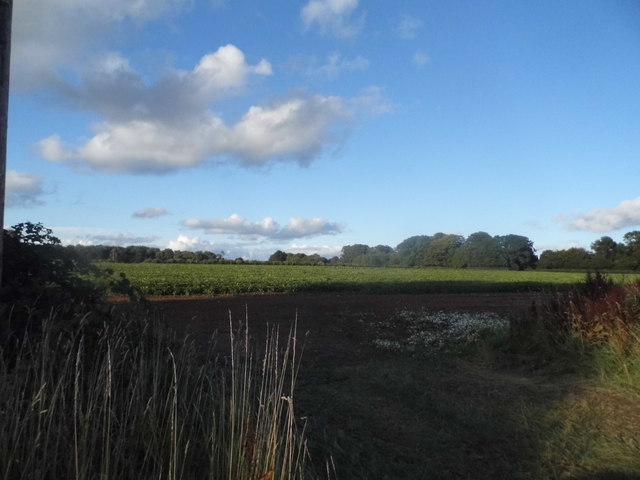
Broadmere is a small village located in the county of Hampshire, England. Situated in the South East of the country, it is part of the wider district of East Hampshire. The village is situated approximately 7 miles east of the town of Petersfield and is surrounded by picturesque countryside and rolling hills.
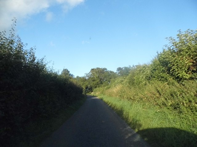
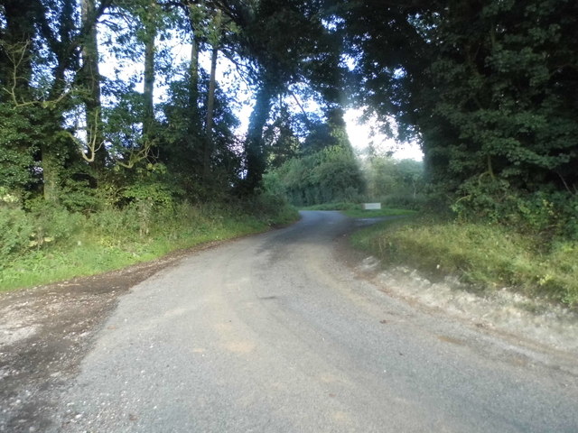
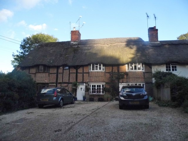
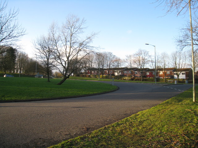
Broadmere is known for its tranquil and rural setting, offering residents and visitors a peaceful escape from the hustle and bustle of city life. The village is characterized by its charming thatched cottages and traditional architecture, which adds to its quintessential English village appeal.
Despite its small size, Broadmere has a close-knit community, with a local pub, village hall, and primary school providing amenities and services to its residents. The village is also well-connected, with good road links to nearby towns and villages, making it a convenient location for commuting or exploring the surrounding area.
Due to its rural location, Broadmere offers ample opportunities for outdoor activities and exploration. There are several walking and cycling routes in the vicinity, allowing visitors to take in the natural beauty of the Hampshire countryside. Additionally, the village is within close proximity to the South Downs National Park, providing further opportunities for outdoor enthusiasts.
Overall, Broadmere offers a peaceful and idyllic setting, making it an attractive place for those seeking a quiet retreat in the heart of the Hampshire countryside.
If you have any feedback on the listing, please let us know in the comments section below.
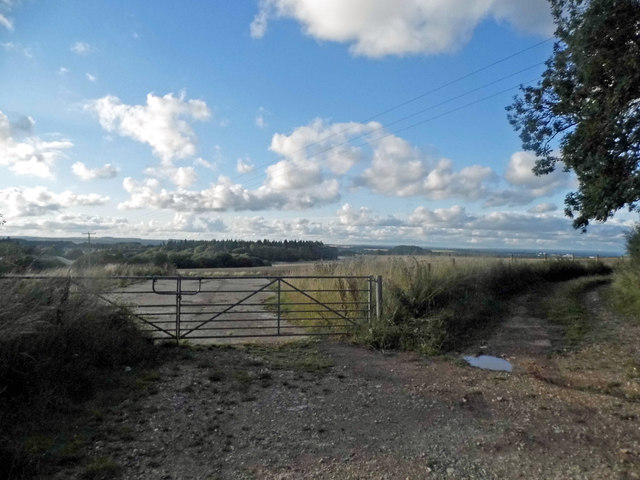
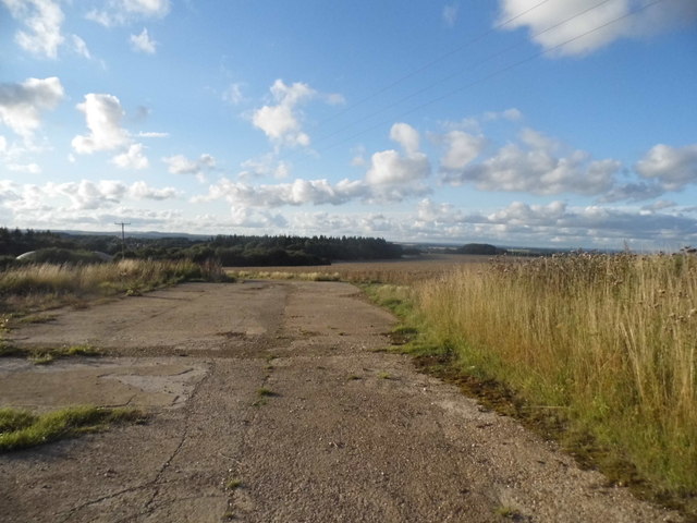
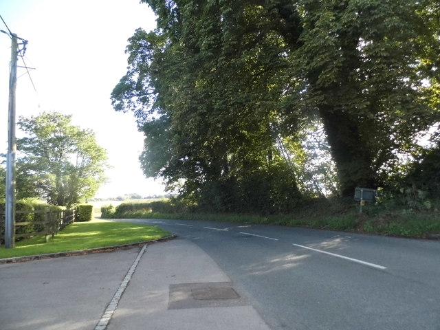
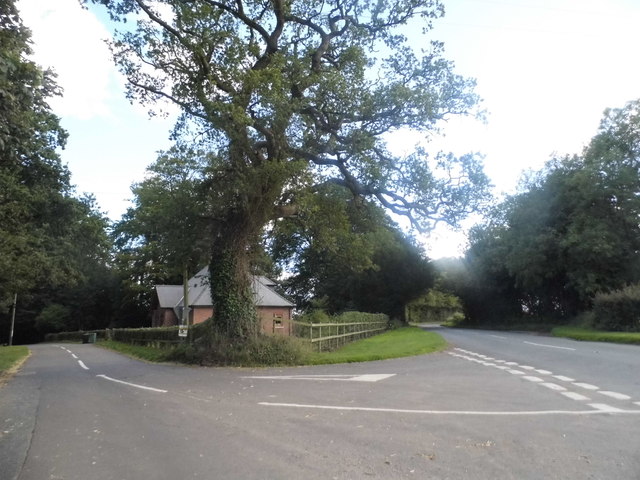
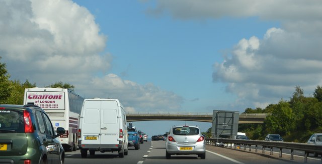
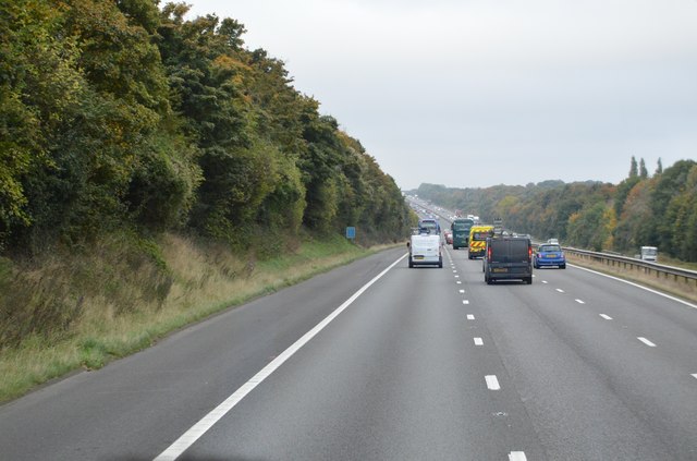
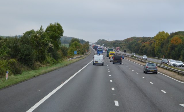
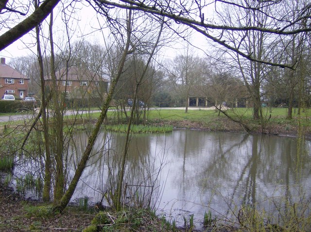
Broadmere Images
Images are sourced within 2km of 51.223535/-1.111836 or Grid Reference SU6247. Thanks to Geograph Open Source API. All images are credited.


Broadmere is located at Grid Ref: SU6247 (Lat: 51.223535, Lng: -1.111836)
Administrative County: Hampshire
District: Basingstoke and Deane
Police Authority: Hampshire
What 3 Words
///cared.tape.pink. Near Basingstoke, Hampshire
Nearby Locations
Related Wikis

Farleigh Hill
Farleigh Hill is one of the highest points in the county of Hampshire, England. It is part of the Hampshire Downs and reaches a height of 208 metres (682...

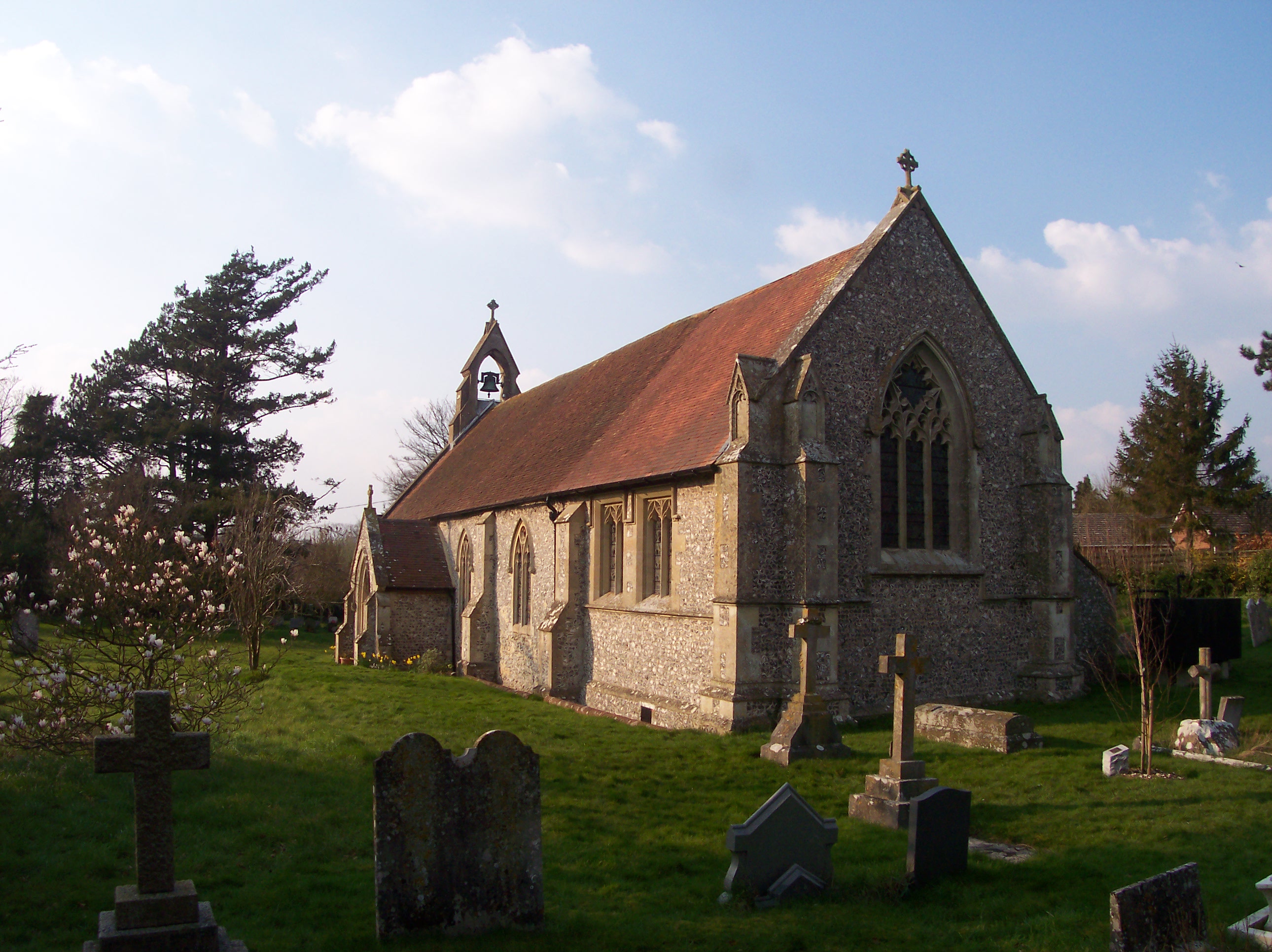
Farleigh Wallop
Farleigh Wallop is a small village and civil parish in Hampshire, England, approximately 4.7 miles (7.6 km) south of Basingstoke on the slopes of Farleigh...
Broadmere
Broadmere is a hamlet in Hampshire, England. The hamlet comes under the parish of Farleigh Wallop and its nearest town is Basingstoke, about 2 miles away...
Hatch Warren
Hatch Warren is a district and ward of Basingstoke in Hampshire, England. The population of the appropriate ward called Hatch Warren and Beggarwood was...
Beggarwood
Beggarwood is a housing estate of Basingstoke, in the English county of Hampshire. The estate is located approximately 2.5 miles (4.0 km) south-west of...
Ellisfield
Ellisfield is a village in the Basingstoke and Deane district of Hampshire, England. It lies approximately 4 miles (6.4 km) south of Basingstoke on the...
Cliddesden
Cliddesden is a village and a parish in Hampshire, England located 3 miles south of Basingstoke, close to the M3 motorway. In the 2001 census it had a...
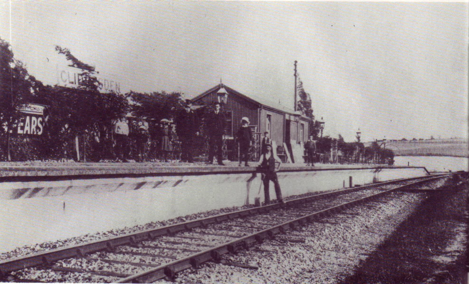
Cliddesden railway station
Cliddesden railway station was a railway station in the village of Cliddesden, Hampshire, UK. The station was a stop on the Basingstoke and Alton Light...
Nearby Amenities
Located within 500m of 51.223535,-1.111836Have you been to Broadmere?
Leave your review of Broadmere below (or comments, questions and feedback).