Doddington and Whisby

Civil Parish in Lincolnshire North Kesteven

England

Doddington and Whisby

Track and footpath, Doddington Hall Estate The footpath goes across the field to the left,
Track and footpath, Doddington Hall Estate Credit: Humphrey Bolton

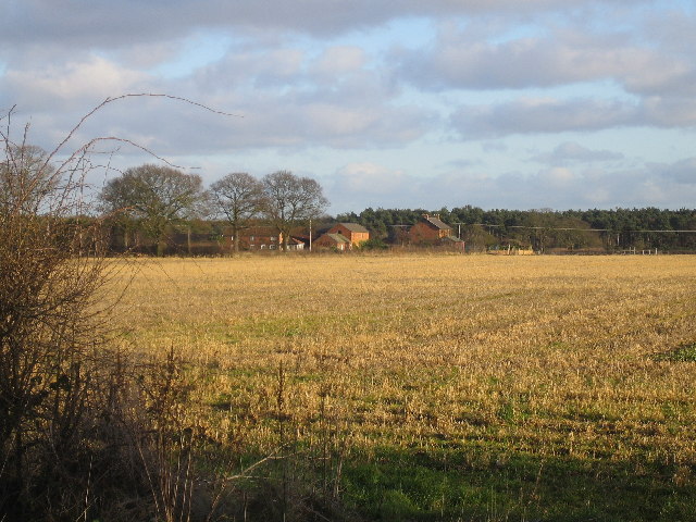
Doddington and Whisby is a civil parish located in the county of Lincolnshire, England. The parish is situated about 5 miles southwest of the city of Lincoln and covers an area of approximately 11 square miles.

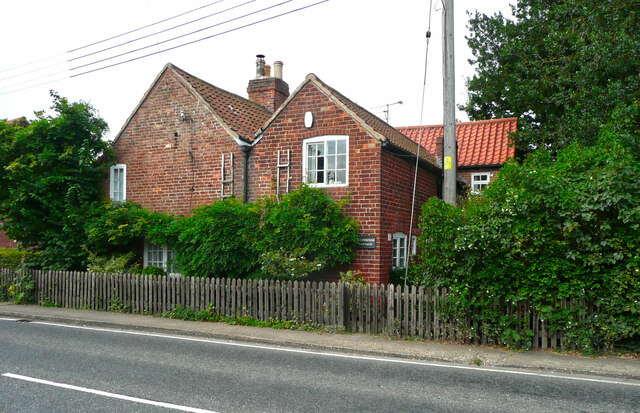
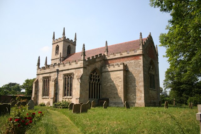
Doddington, the larger of the two villages, is a picturesque village with a rich history that dates back to the medieval period. It is characterized by its charming cottages, traditional village green, and a beautiful 13th-century church dedicated to St Peter and St Paul. The village also boasts a primary school, a pub, and a few local shops, providing essential amenities to its residents.

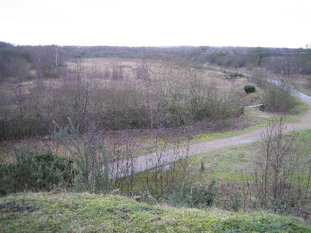
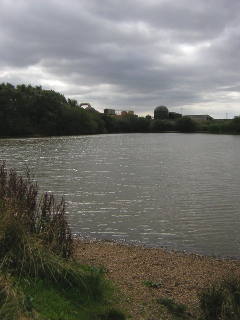
Whisby, on the other hand, is a smaller village located to the north of Doddington. It is known for its tranquil countryside setting and its close proximity to Whisby Nature Park. The nature park is a popular destination for nature enthusiasts, offering a variety of habitats and wildlife, including several lakes, woodlands, and bird hides. The park also features a visitor center, walking trails, and educational facilities, making it an ideal place for families and individuals interested in outdoor activities.

Both villages benefit from their proximity to the city of Lincoln, which provides access to a wider range of amenities, including shopping centers, restaurants, and cultural attractions. The area is well-connected by road, with the A46 running nearby, allowing for easy access to other major cities in the region. Overall, Doddington and Whisby offer a peaceful and rural setting while still being within reach of urban facilities.

If you have any feedback on the listing, please let us know in the comments section below.

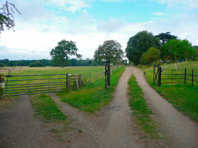
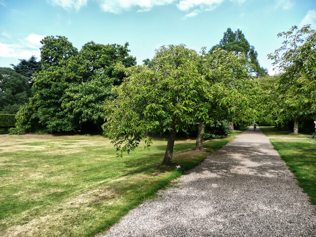
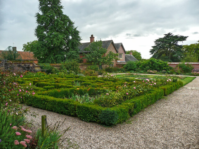
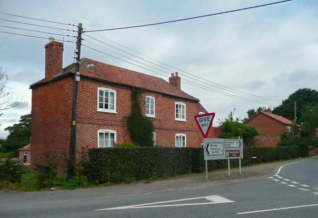
Doddington and Whisby Images

Images are sourced within 2km of 53.212117/-0.648182 or Grid Reference SK9069. Thanks to Geograph Open Source API. All images are credited.

Track and footpath, Doddington Hall Estate The footpath goes across the field to the left,
Track and footpath, Doddington Hall Estate
The footpath goes across the field to the left,
Path in the garden, Doddington Hall
The Fishpond, Doddington Hall estate Looking across to the farm buildings. The shed open at the front houses a collection of old carts.
The Fishpond, Doddington Hall estate
Looking across to the farm buildings. The shed open at the front houses a collection of old carts.
Boat House on the shore of the Fishpond, Doddington Hall estate Really just a shelter rather than a 'house'. I don't know what the wheel is for, but it might operate a hoist to lift boats out of the water.
Boat House on the shore of the Fishpond, Doddington Hall estate
Really just a shelter rather than a 'house'. I don't know what the wheel is for, but it might operate a hoist to lift boats out of the water.
Fish pond and poplars, Doddington Hall estate
Path around the end of the Fishpond, Doddington Hall estate Plank bridges have been provided over the streams.
Path around the end of the Fishpond, Doddington Hall estate
Plank bridges have been provided over the streams.
Footbridge over the Fishpond, Doddington Hall estate The bridge is closed, presumably it is unsafe.
Footbridge over the Fishpond, Doddington Hall estate
The bridge is closed, presumably it is unsafe.
The southern part of the Fishpond, Doddington Hall estate In the centre is the little boat house, and on the right what was a changing room.
The southern part of the Fishpond, Doddington Hall estate
In the centre is the little boat house, and on the right what was a changing room.
Buildings around the stable yard, Doddington Hall estate The stables are now converted to other uses.
Buildings around the stable yard, Doddington Hall estate
The stables are now converted to other uses.
The maze, Doddington Hall gardens
Temple of the Winds, Doddington Hall gardens
Maze, looking northwards, Doddington Hall gardens
Part of the formal garden, Doddington Hall
Holly Farmhouse, Doddington An early 19C farmhouse with chequer-brick walls, listed Grade II.
Holly Farmhouse, Doddington
An early 19C farmhouse with chequer-brick walls, listed Grade II.
Foresters Cottage, Doddington An 18C house, listed Grade II.
Foresters Cottage, Doddington
An 18C house, listed Grade II.
Pickworth's Plot Pickworth's Plot near the Grange on a frosty November morning
Pickworth's Plot
Pickworth's Plot near the Grange on a frosty November morning
Wintry scene in Doddington Trees along Whisby Road Doddington in the snow, December 2005
Wintry scene in Doddington
Trees along Whisby Road Doddington in the snow, December 2005
Blackmoor Farm Blackmoor Farm near Skellingthorpe, looking south east from the corner of Gilberts plot.
Blackmoor Farm
Blackmoor Farm near Skellingthorpe, looking south east from the corner of Gilberts plot.
Show me another place!

Doddington and Whisby is located at Grid Ref: SK9069 (Lat: 53.212117, Lng: -0.648182)

Administrative County: Lincolnshire

District: North Kesteven

Police Authority: Lincolnshire

What 3 Words

///cobras.derailed.juggler. Near Skellingthorpe, Lincolnshire

Related Wikis

Doddington, Lincolnshire

Doddington is a village in the civil parish of Doddington and Whisby, in the North Kesteven district of Lincolnshire, England. The population of the civil...

Doddington Hall, Lincolnshire

Doddington Hall is, from the outside, an Elizabethan prodigy house or mansion complete with walled courtyards and a gabled gatehouse. Inside it was largely...

Whisby

Whisby is a hamlet in the civil parish of Doddington and Whisby, in the North Kesteven district of Lincolnshire, England. It is situated 5 miles (8.0 km...

Jerusalem, Lincolnshire

Jerusalem is a small ribbon development in the North Kesteven district of Lincolnshire, England. It conjoined to the south of Skellingthorpe, and is part...

Nearby Amenities

Located within 500m of 53.212117,-0.648182
The Grange
Place: farm
Source: Bing
Lat/Long: 53.2088353/-0.6531779
The data included in this document is from www.openstreetmap.org. The data is made available under ODbL.

Have you been to Doddington and Whisby?

Leave your review of Doddington and Whisby below (or comments, questions and feedback).