Ditcheat
Civil Parish in Somerset Mendip
England
Ditcheat

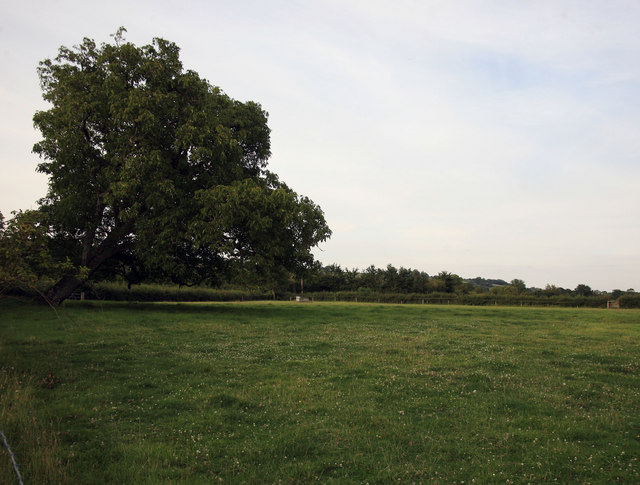
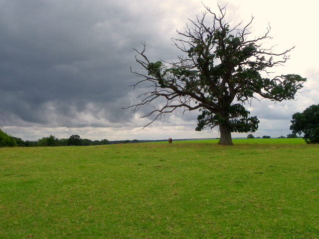
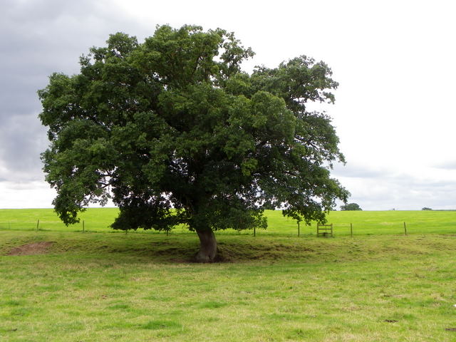
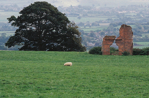
Ditcheat is a picturesque civil parish located in the county of Somerset, England. Situated approximately 18 miles south of Bristol, the parish covers an area of approximately 2.5 square miles. It is nestled in the heart of the Mendip Hills, an Area of Outstanding Natural Beauty, which provides a stunning backdrop to the village.
Ditcheat is a small and close-knit community with a population of around 400 residents. The village is known for its charming and traditional architecture, with many buildings dating back to the 17th and 18th centuries. The centerpiece of the village is the beautiful St. Mary Magdalene Church, which dates back to the 13th century and is a Grade I listed building.
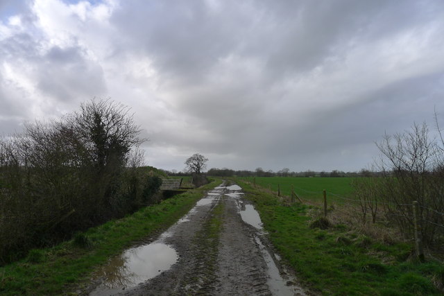
The village is proud of its rural heritage, and agriculture plays a significant role in the local economy. The surrounding countryside is characterized by rolling hills, farmland, and meadows. The parish is also home to several farms and equestrian facilities.
Ditcheat has a strong sense of community, with various social and recreational activities available for residents. The village has a local pub, The Manor Inn, which is a popular gathering place for locals and visitors alike. There are also several clubs and societies that cater to different interests, such as gardening, sports, and arts.
Overall, Ditcheat offers a tranquil and idyllic setting for residents and visitors, with its beautiful countryside, historic buildings, and strong sense of community.
If you have any feedback on the listing, please let us know in the comments section below.
Ditcheat Images
Images are sourced within 2km of 51.114648/-2.544507 or Grid Reference ST6135. Thanks to Geograph Open Source API. All images are credited.


Ditcheat is located at Grid Ref: ST6135 (Lat: 51.114648, Lng: -2.544507)
Administrative County: Somerset
District: Mendip
Police Authority: Avon and Somerset
What 3 Words
///cropping.broke.giggled. Near Castle Cary, Somerset
Nearby Locations
Related Wikis

Alhampton Mission Church
Alhampton Mission Church is a Church of England church in Alhampton, Somerset, England. The tin tabernacle was erected in 1892 and now forms part of the...
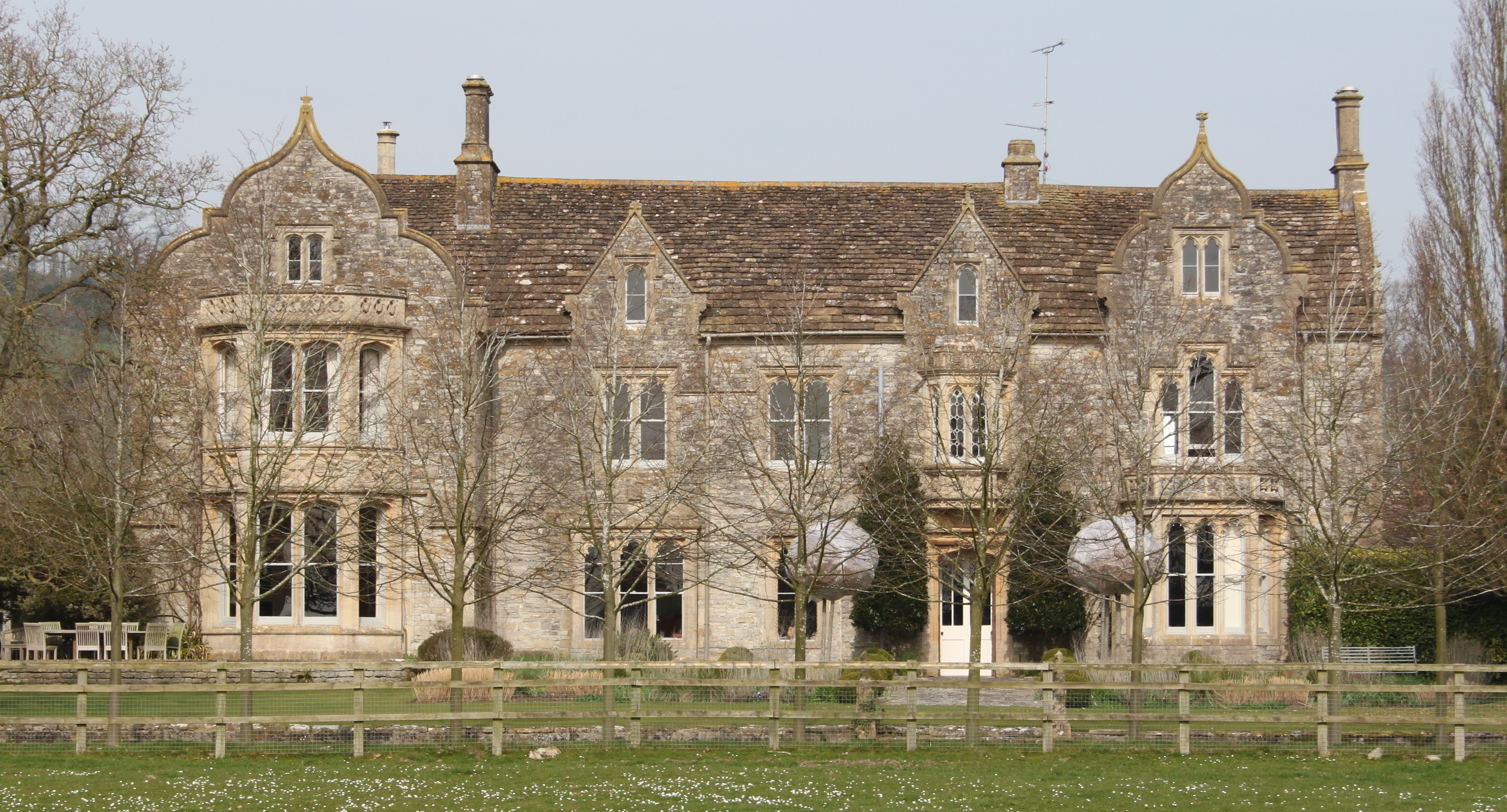
The Abbey, Ditcheat
The Abbey, Ditcheat (formerly known as The Priory) is a large house at Ditcheat in Somerset. Originally a rectory, now converted into a house, the Grade...

Ditcheat
Ditcheat is a village and civil parish 4.5 miles (7 km) south of Shepton Mallet, and 2.5 miles (4 km) north-west of Castle Cary, in Somerset, England....
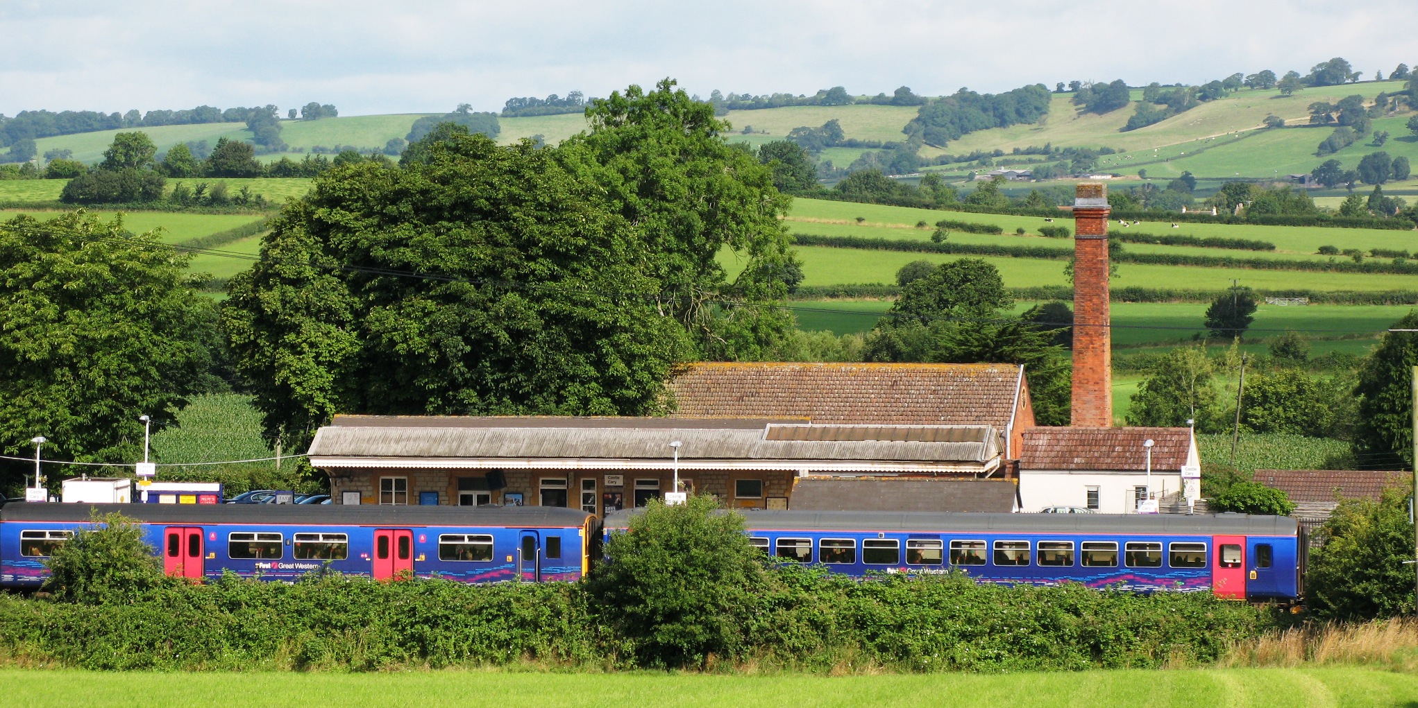
Castle Cary railway station
Castle Cary railway station is on the Reading to Taunton line 115.25 miles (185.48 km) south west of London Paddington and the Bristol to Weymouth line...
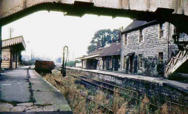
Evercreech Junction railway station
Evercreech Junction was a railway station at Evercreech on the Somerset and Dorset Joint Railway. Originally opened in 1862 as "Evercreech" on the original...

River Alham
The River Alham flows through Somerset, England. It rises at Higher Alham above Batcombe and runs through Alhampton, Milton Clevedon and joins the River...

Somerton and Frome (UK Parliament constituency)
Somerton and Frome is a constituency in Somerset represented in the House of Commons of the UK Parliament since 2023 by Sarah Dyke of the Liberal Democrats...

Church of St Andrew, Ansford
The Church of St Andrew in Ansford, Somerset, England, was built in the 15th century. It is a Grade II* listed building. == History == The tower remains...
Nearby Amenities
Located within 500m of 51.114648,-2.544507Have you been to Ditcheat?
Leave your review of Ditcheat below (or comments, questions and feedback).