Cullompton
Civil Parish in Devon Mid Devon
England
Cullompton
Cullompton is a civil parish located in the county of Devon, England. Situated in the heart of the picturesque Culm Valley, it is nestled between the cities of Exeter and Taunton, offering a mix of rural charm and convenient access to urban amenities.
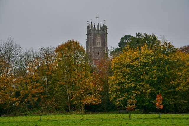
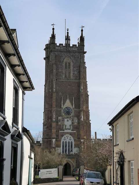
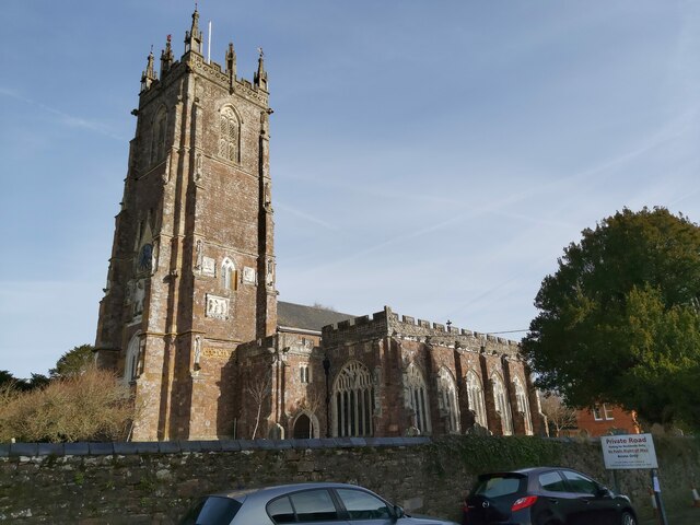
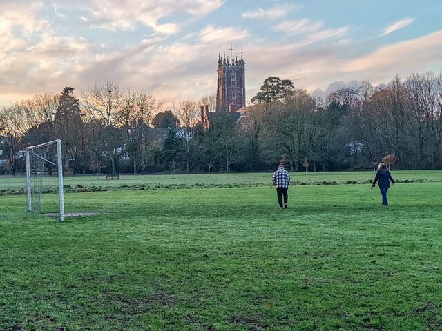
The town dates back to Roman times and still retains some of its historic character. It is known for its beautiful architecture, with a mix of thatched cottages, Georgian buildings, and a medieval church that dominates the skyline. The town center features a variety of independent shops, cafes, and pubs, providing a vibrant and bustling atmosphere.
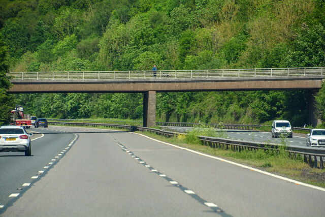
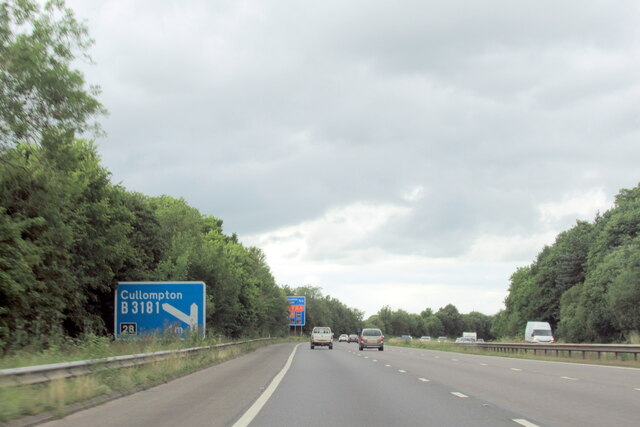
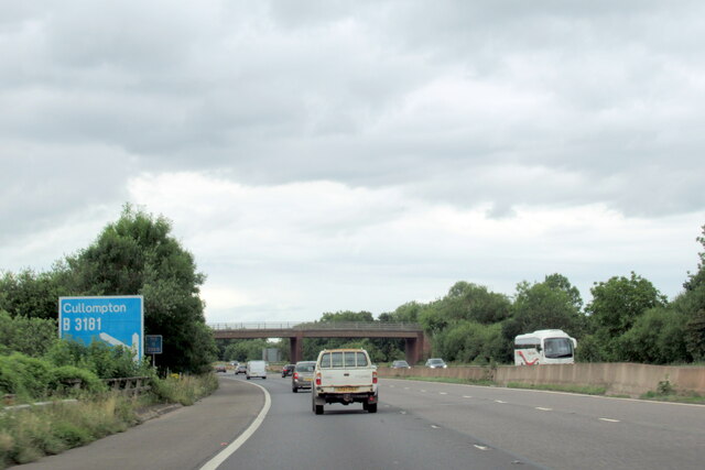
Cullompton benefits from its strategic location, with easy access to major transportation routes, including the M5 motorway and the A373 and A38 roads. This makes it an ideal base for commuters and businesses alike. The town also has good public transport links, with regular bus services connecting it to neighboring towns and cities.
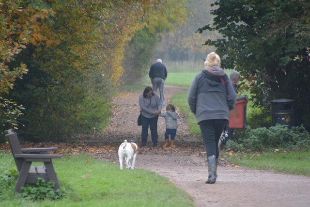
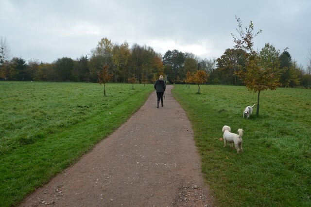
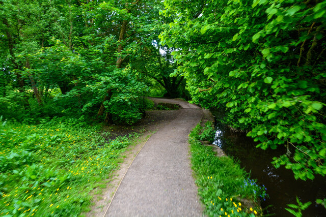
The surrounding countryside offers ample opportunities for outdoor activities, with numerous footpaths and cycle routes winding through the beautiful Devon countryside. The nearby Blackdown Hills Area of Outstanding Natural Beauty provides stunning views and a tranquil escape from the hustle and bustle of everyday life.
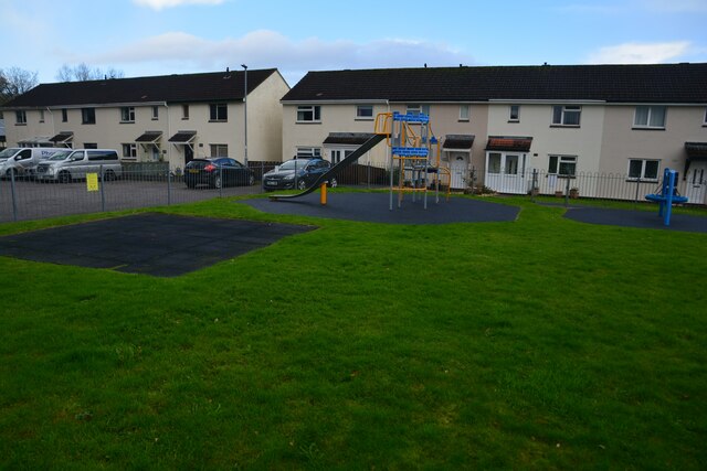
Cullompton also boasts a range of amenities and facilities for residents and visitors. These include schools, a leisure center, a library, and a community center that hosts various events throughout the year. The town has a strong sense of community, with a range of clubs and societies catering to different interests and hobbies.
Overall, Cullompton is a charming and well-connected town, combining the best of rural living with easy access to nearby cities and a range of amenities for all.
If you have any feedback on the listing, please let us know in the comments section below.
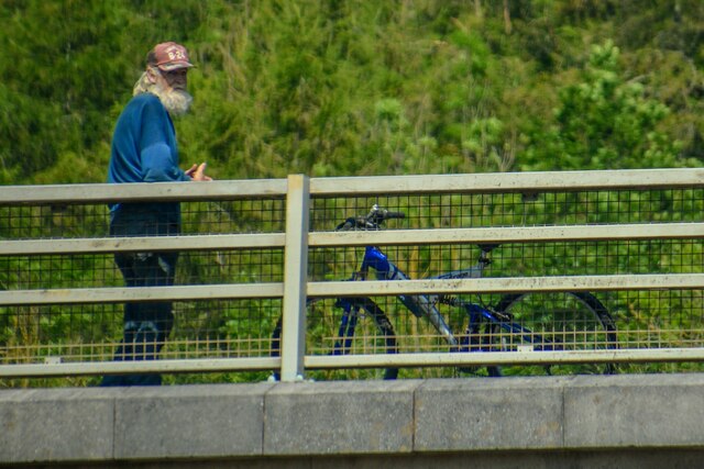
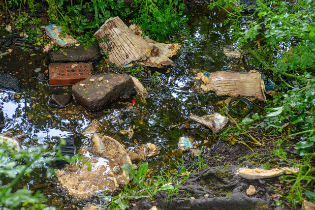
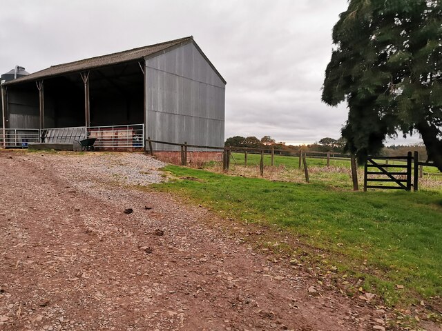
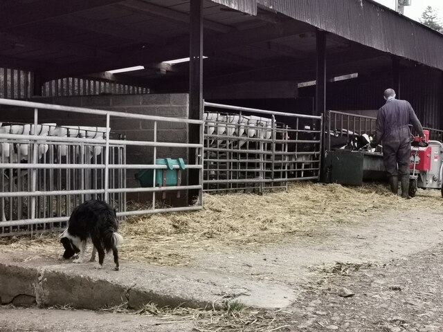
Cullompton Images
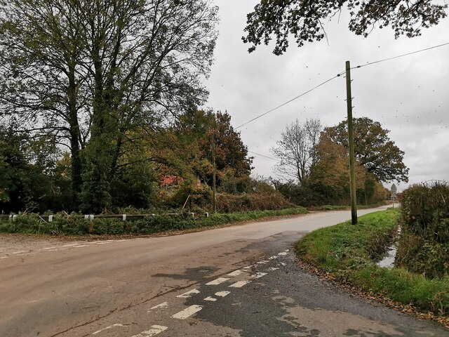
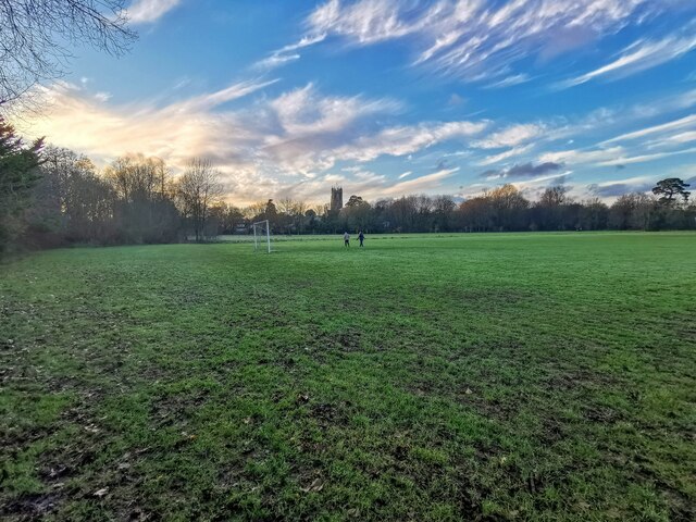
Images are sourced within 2km of 50.844149/-3.3695 or Grid Reference ST0305. Thanks to Geograph Open Source API. All images are credited.

Cullompton is located at Grid Ref: ST0305 (Lat: 50.844149, Lng: -3.3695)
Administrative County: Devon
District: Mid Devon
Police Authority: Devon & Cornwall
What 3 Words
///coasting.camera.necklace. Near Cullompton, Devon
Nearby Locations
Related Wikis

Cullompton Rangers F.C.
Cullompton Rangers Football Club is a football club based in Cullompton, Devon, England. They are currently members of the South West Peninsula League...
Aller, Devon
Aller is a village in the civil parish of Kentisbeare in the historic county of Devon, England. Aller is situated about 2 miles (3.2 km) east of Cullompton...
Cullompton Community College
Cullompton Community College is a coeducational foundation secondary school located in Cullompton in the county of Devon.First established in 1872, the...

Cullompton
Cullompton () is a town and civil parish in the district of Mid Devon and the county of Devon, England. It is 13 miles (21 km) north-east of Exeter and...

Cullompton services
Cullompton services is a motorway service station on the M5 motorway near Exeter. It is owned by Extra MSA. It has a McDonald's restaurant which is franchised...

Tiverton and Honiton (UK Parliament constituency)
Tiverton and Honiton is a constituency in Devon, England. The current MP is Richard Foord of the Liberal Democrats, elected at a by-election on 23 June...

Plymtree
Plymtree is a small village and civil parish about 3.5 miles south of the town of Cullompton in the county of Devon, England. The parish is surrounded...

Bradninch
Bradninch is a small town, civil parish and manor in Devon, England, lying about 3 mi (5 km) south of Cullompton. Much of the surrounding farmland belongs...
Nearby Amenities
Located within 500m of 50.844149,-3.3695Have you been to Cullompton?
Leave your review of Cullompton below (or comments, questions and feedback).