Culgaith
Civil Parish in Cumberland Eden
England
Culgaith
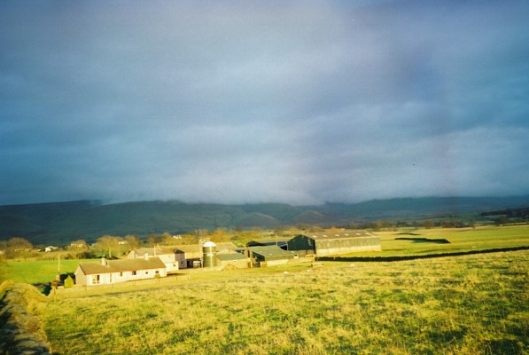
Culgaith is a civil parish located in the county of Cumberland, England. It is situated in the northern part of the county, within the Eden District. The parish covers an area of approximately 6.5 square miles and is bordered by the parishes of Hunsonby, Kirkland, and Skirwith.
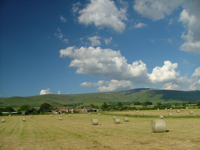
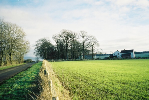
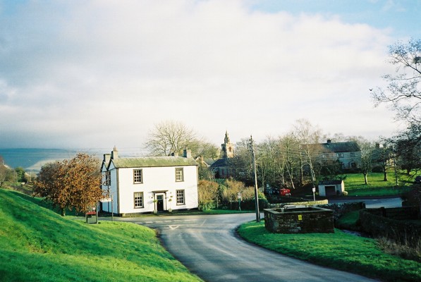
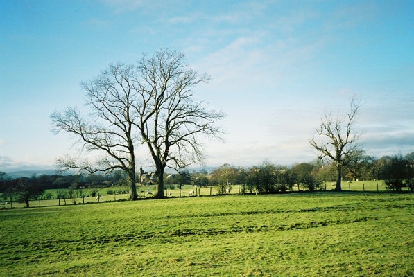
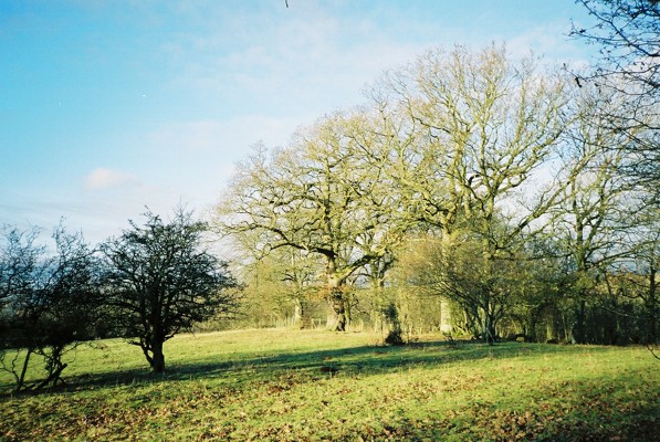
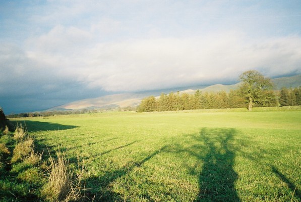
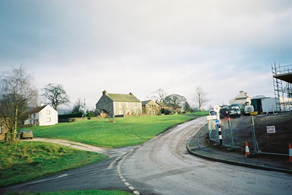
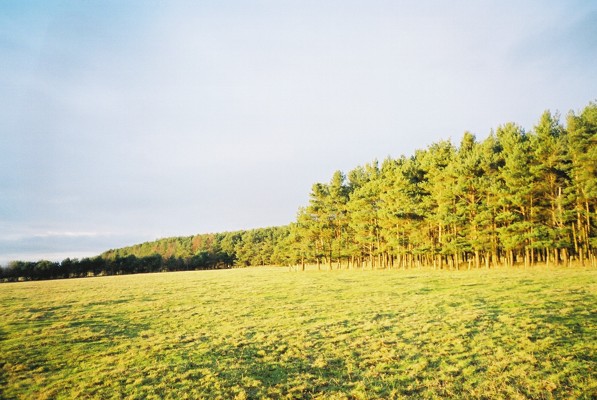
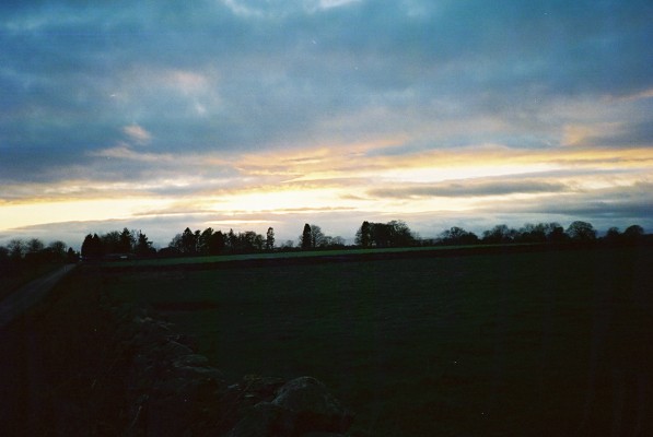
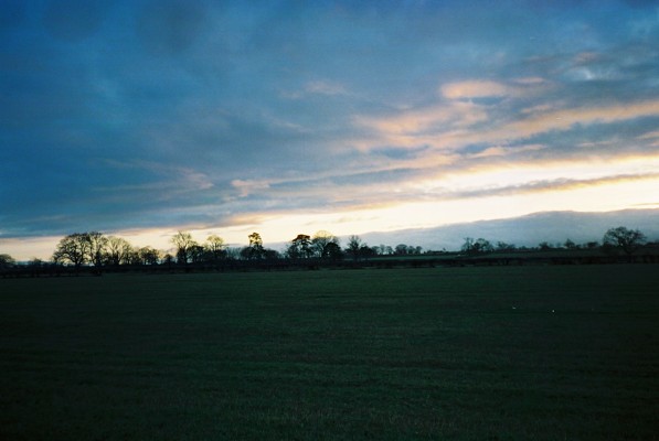
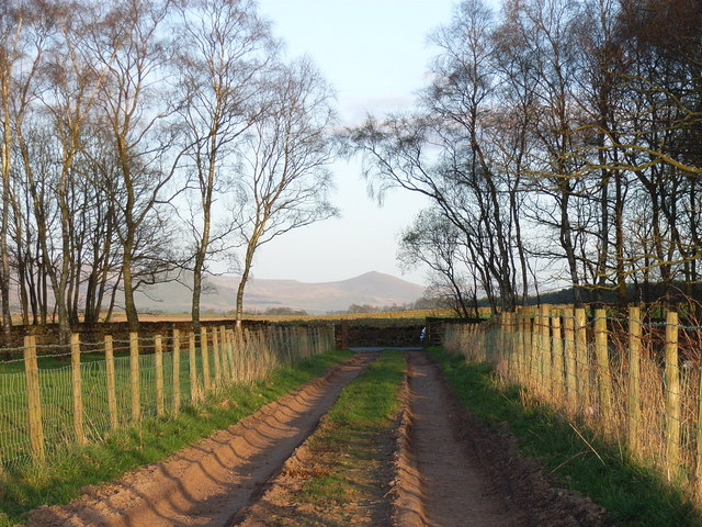
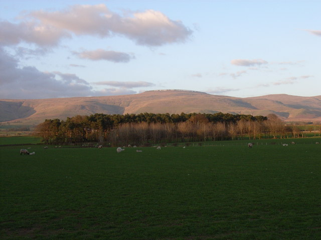
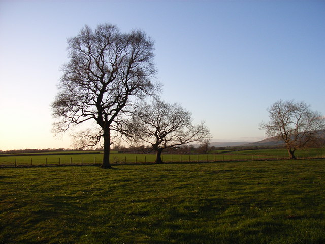
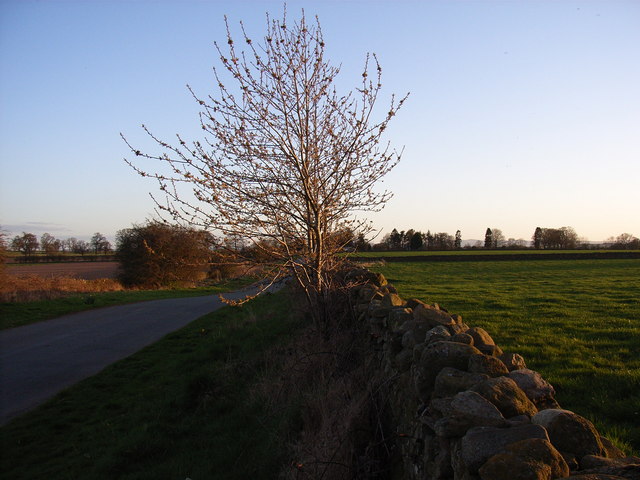
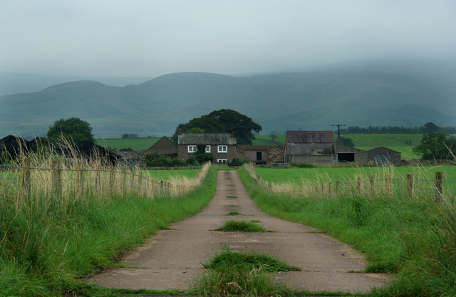
The village of Culgaith is the main settlement within the parish. It is a charming rural village with a population of around 500 residents. The village features a mix of traditional and modern houses, surrounded by picturesque countryside. The River Eden flows nearby, offering beautiful views and recreational opportunities.
The village of Culgaith has a long history, dating back to Roman times. It was once an important market town and has retained its historic charm with several listed buildings, including St. Mary's Church, which dates back to the 12th century. The church is a prominent feature of the village and showcases architectural elements from different periods.
Despite its small size, Culgaith offers a range of amenities and services for its residents. These include a village hall, a primary school, a pub, and a post office. The village also has a strong sense of community, with various local events and activities throughout the year.
Culgaith is an ideal location for those seeking a peaceful and rural lifestyle. Its idyllic surroundings, rich history, and close-knit community make it an attractive place to live or visit in Cumberland.
If you have any feedback on the listing, please let us know in the comments section below.
Culgaith Images
Images are sourced within 2km of 54.676681/-2.595868 or Grid Reference NY6131. Thanks to Geograph Open Source API. All images are credited.

Culgaith is located at Grid Ref: NY6131 (Lat: 54.676681, Lng: -2.595868)
Administrative County: Cumbria
District: Eden
Police Authority: Cumbria
What 3 Words
///waking.rucksack.roughness. Near Penrith, Cumbria
Nearby Locations
Related Wikis

Skirwith Abbey
Skirwith Abbey is a country house in Skirwith, Cumbria, England. The House is a two-storey house of five by three bays, built by Thomas Addison, mason...

Skirwith
Skirwith is a village and former civil parish, now in the parish of Culgaith, in the Eden district, in the county of Cumbria, England. In 1931 the parish...

River Eamont
The River Eamont is a river in Cumbria, England and one of the major tributaries of the River Eden. The name of the river is from Old English (ēa-gemōt...

Culgaith
Culgaith is a village and civil parish in the Eden district of Cumbria, England. It is located on the River Eden, between Temple Sowerby and Langwathby...
Nearby Amenities
Located within 500m of 54.676681,-2.595868Have you been to Culgaith?
Leave your review of Culgaith below (or comments, questions and feedback).