Crowell
Civil Parish in Oxfordshire South Oxfordshire
England
Crowell

Crowell is a civil parish located in the county of Oxfordshire, England. Situated in the district of South Oxfordshire, it covers an area of approximately 2 square miles (5 square kilometers). The parish is located around 5 miles (8 kilometers) northeast of the town of Thame and about 8 miles (13 kilometers) southeast of the city of Oxford.
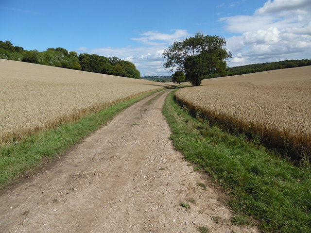
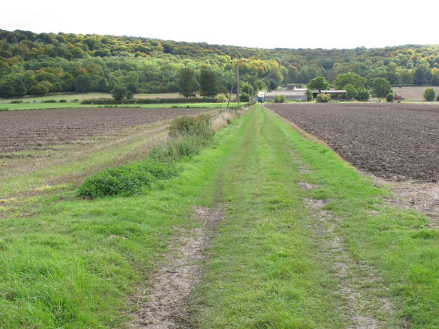
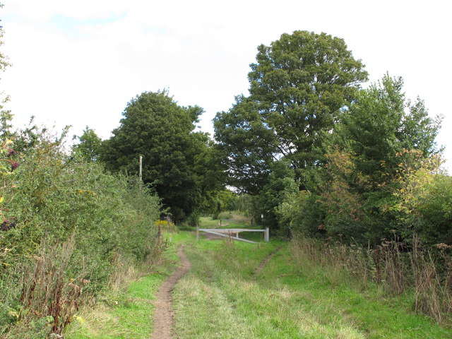
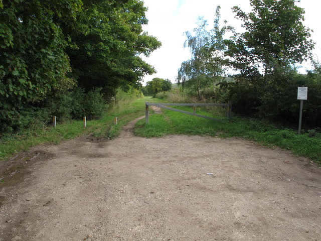
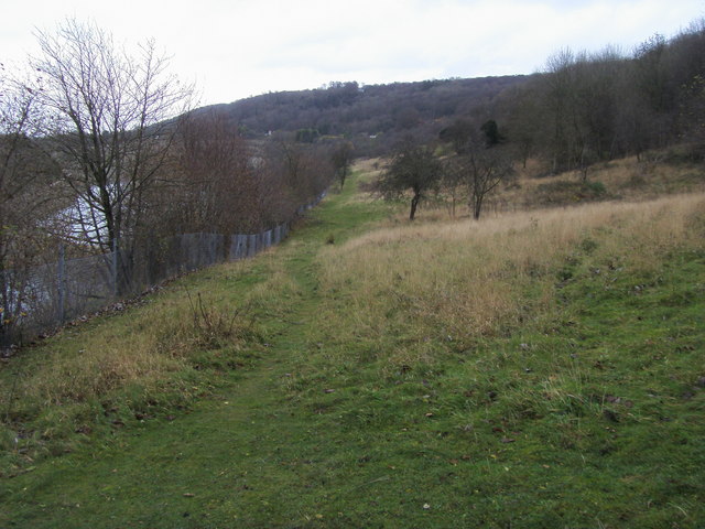
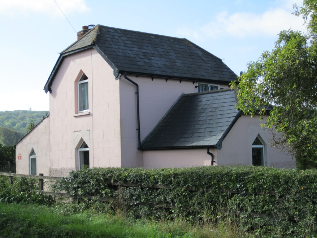
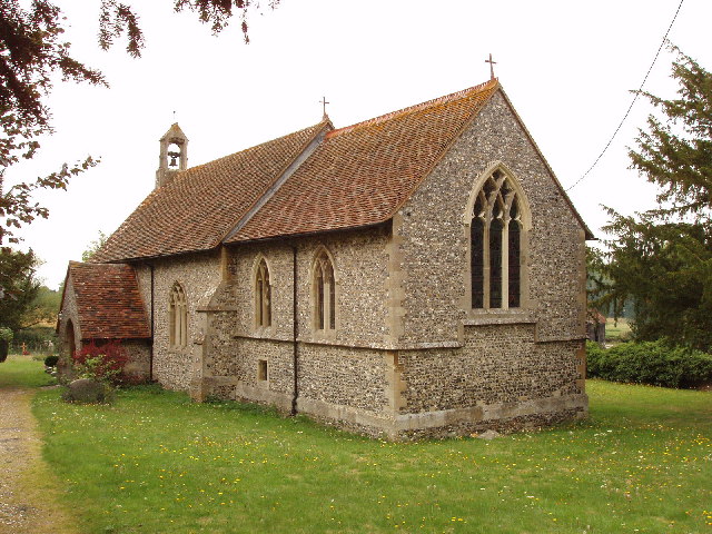
Crowell is a small, rural village with a population of around 100 residents. It is surrounded by picturesque countryside, characterized by rolling hills and farmland. The village itself consists of a small cluster of houses, a church, and a village hall. The church, dedicated to St. Mary, dates back to the 12th century and is a significant historical and architectural landmark in the area.
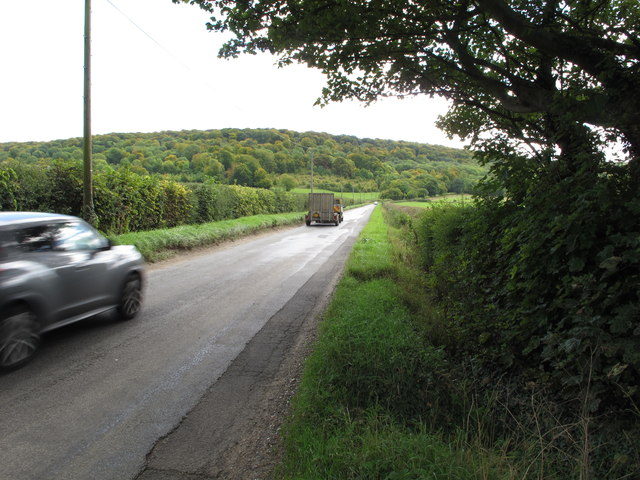
The village is well connected to nearby towns and cities, with good road links. The A40 road runs through the parish, providing easy access to Oxford, High Wycombe, and London. The nearest railway station is located in the neighboring village of Haddenham, around 4 miles (6 kilometers) away.
In terms of amenities, Crowell does not have any shops or schools within its boundaries. However, there are several amenities available in nearby towns, including shops, schools, and healthcare facilities.
Overall, Crowell offers a peaceful and idyllic countryside setting, making it an attractive place to live for those seeking a rural lifestyle while still having access to nearby urban areas.
If you have any feedback on the listing, please let us know in the comments section below.
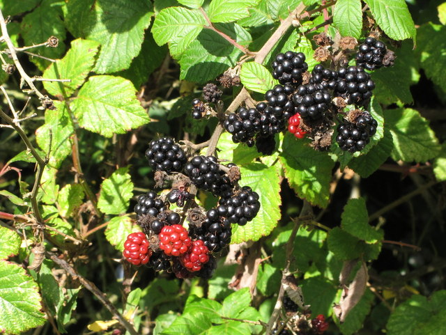
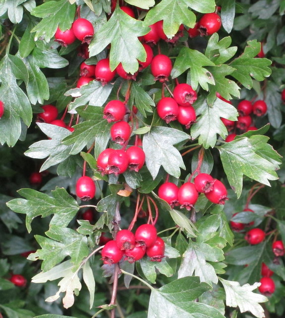
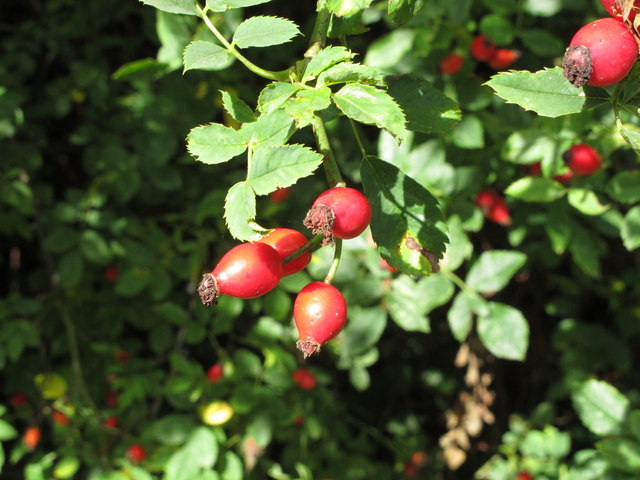
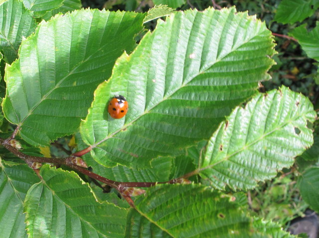
Crowell Images
Images are sourced within 2km of 51.67869/-0.907079 or Grid Reference SU7598. Thanks to Geograph Open Source API. All images are credited.


Crowell is located at Grid Ref: SU7598 (Lat: 51.67869, Lng: -0.907079)
Administrative County: Oxfordshire
District: South Oxfordshire
Police Authority: Thames Valley
What 3 Words
///rephrase.questions.nerd. Near Stokenchurch, Buckinghamshire
Nearby Locations
Related Wikis

Aston Rowant Woods
Aston Rowant Woods is a 209.7-hectare (518-acre) biological Site of Special Scientific Interest near Aston Rowant in Oxfordshire and Buckinghamshire. Part...

Sir Charles Napier Inn
The Sir Charles Napier Inn (commonly known as the Sir Charles Napier or simply the Charles Napier) is a gastropub in Spriggs Alley about 1.5 miles (2.4...
Oakley Hill nature reserve
Oakley Hill is a 13-hectare (32-acre) nature reserve south of Chinnor in Oxfordshire, England. It is managed by the Berkshire, Buckinghamshire and Oxfordshire...

Chinnor Chalk Pit
Chinnor Chalk Pit is a 20.4-hectare (50-acre) geological Site of Special Scientific Interest south of Chinnor in Oxfordshire. It is a Geological Conservation...

Chiltern Hills
The Chiltern Hills are a chalk escarpment in the UK northwest of London, covering 660 square miles (1,700 km2) across Oxfordshire, Buckinghamshire, Hertfordshire...
Kingston Crossing Halt railway station
Kingston Crossing Halt railway station was a halt on the Watlington and Princes Risborough Railway which the Great Western Railway opened in 1906 to serve...
Crowell, Oxfordshire
Crowell is a village and civil parish in Oxfordshire, about 4 miles (6.4 km) southeast of the market town of Thame and 1 mile (1.6 km) southwest of the...
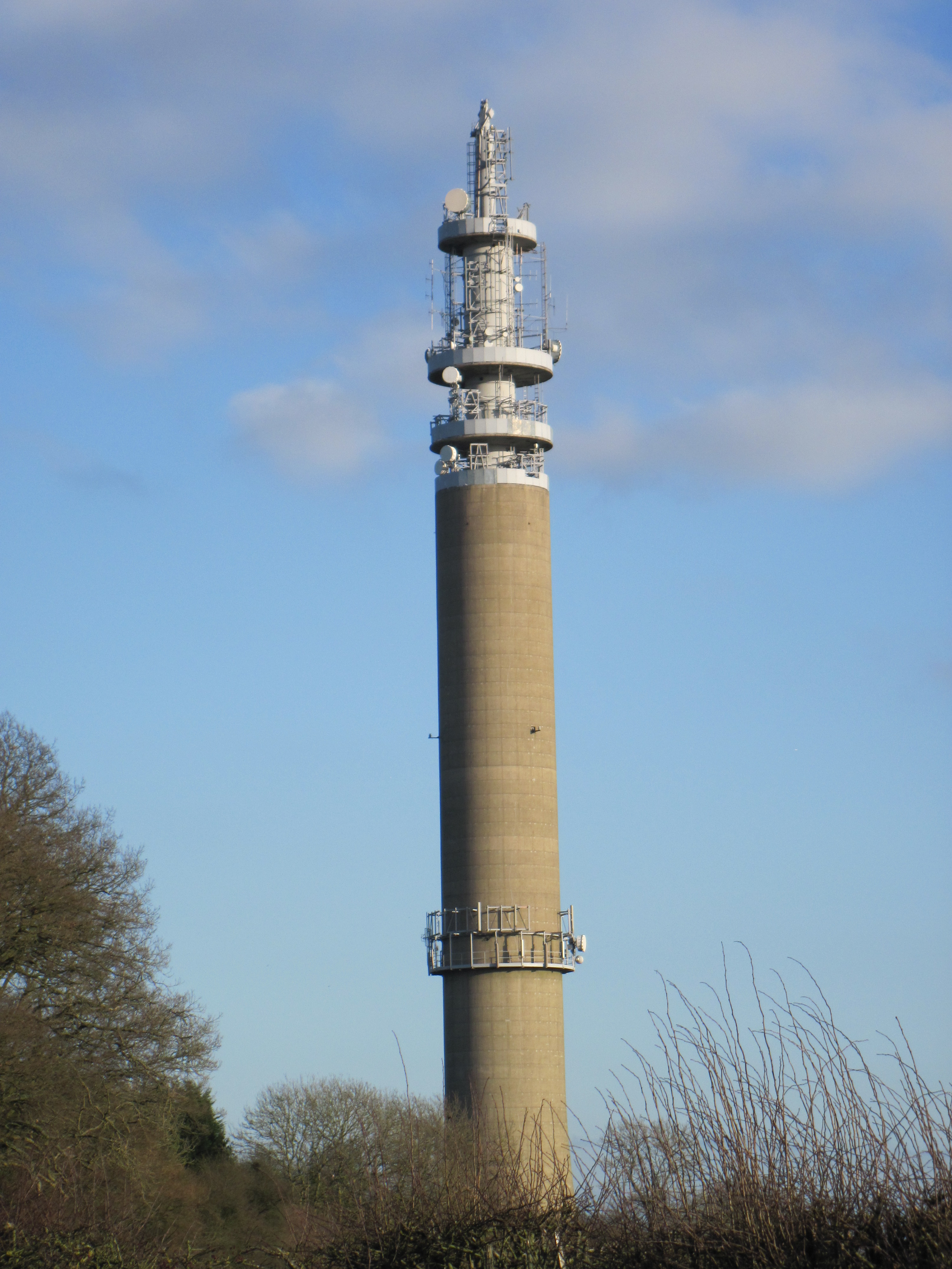
Stokenchurch BT Tower
Stokenchurch BT Tower is a telecommunications tower built of reinforced concrete at Stokenchurch, Buckinghamshire, England. Reaching to 340.5 metres (1...
Nearby Amenities
Located within 500m of 51.67869,-0.907079Have you been to Crowell?
Leave your review of Crowell below (or comments, questions and feedback).