Gipsies Plain

Wood, Forest in Oxfordshire South Oxfordshire

England

Gipsies Plain

Chinnor & Princes Risborough Railway at Chinnor HST power car No. 43066 arrives at Chinnor station during the railway's diesel gala.
Chinnor & Princes Risborough Railway at Chinnor Credit: Gareth James

Gipsies Plain is a picturesque woodland area located in Oxfordshire, England. Nestled within the larger expanse of the Oxfordshire Forest, Gipsies Plain offers a serene and natural escape from the bustling city life.

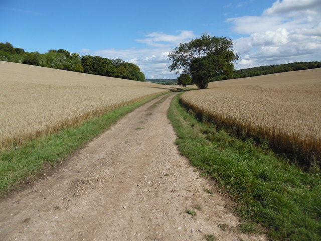
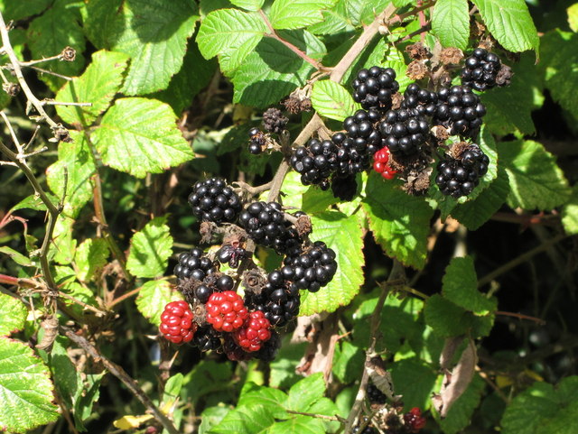
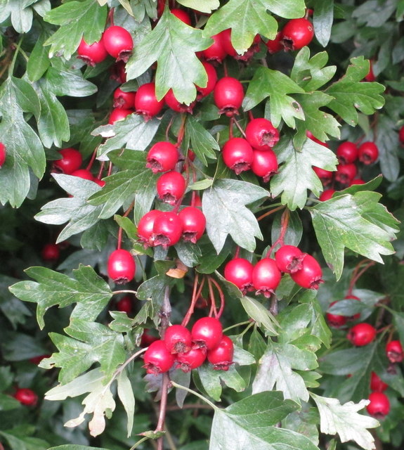
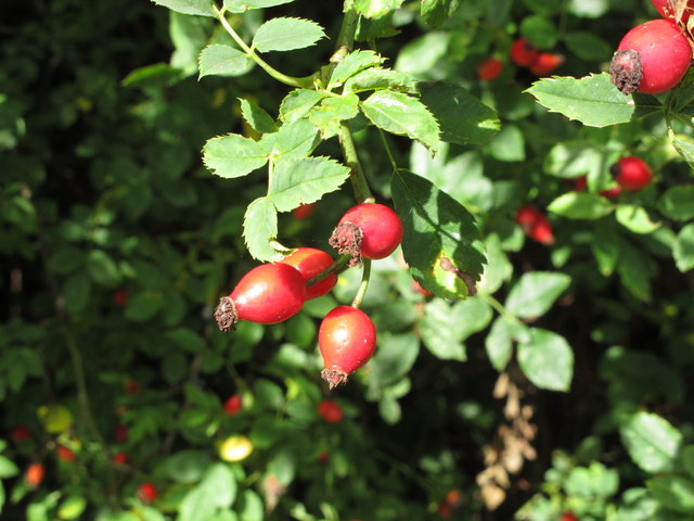
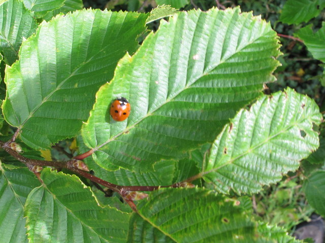
Covering an area of approximately 100 acres, the woodland is characterized by its dense canopy of trees, predominantly oak and beech, which create a cool and shaded environment even during the warm summer months. The forest floor is adorned with a rich variety of wildflowers, ferns, and mosses, adding bursts of color to the otherwise green landscape.

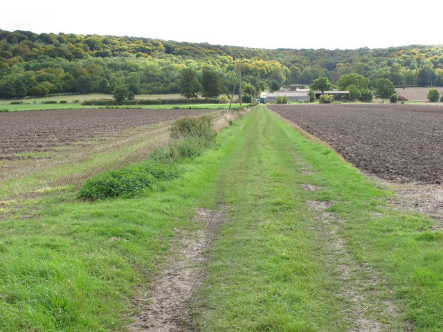
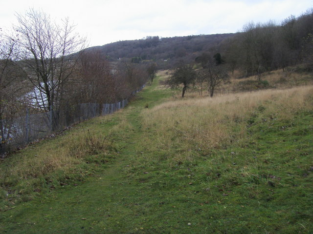
Gipsies Plain has long been a popular destination for nature enthusiasts, walkers, and cyclists. It offers a network of well-maintained footpaths and cycling trails, allowing visitors to explore the area at their own pace. The trails lead to various notable landmarks within the woodland, such as old oak trees, ancient burial mounds, and small natural springs.

The woodland is also home to a diverse range of wildlife. Birdwatchers can spot species such as woodpeckers, owls, and various songbirds, while the observant visitor might catch a glimpse of deer, foxes, or rabbits. The tranquil atmosphere of Gipsies Plain provides an ideal habitat for these animals, making it a popular spot for wildlife enthusiasts and photographers.

Overall, Gipsies Plain in Oxfordshire offers a serene and idyllic escape, where visitors can immerse themselves in the beauty of nature, explore the woodland trails, and enjoy the sights and sounds of the local wildlife. It is a haven for those seeking a peaceful retreat in the heart of the English countryside.

If you have any feedback on the listing, please let us know in the comments section below.

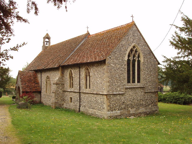
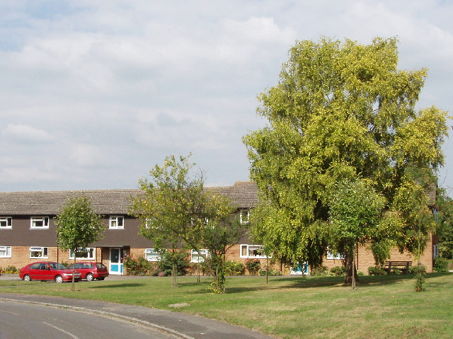
Gipsies Plain Images

Images are sourced within 2km of 51.681232/-0.9092666 or Grid Reference SU7598. Thanks to Geograph Open Source API. All images are credited.

Chinnor & Princes Risborough Railway at Chinnor HST power car No. 43066 arrives at Chinnor station during the railway's diesel gala.
Chinnor & Princes Risborough Railway at Chinnor
HST power car No. 43066 arrives at Chinnor station during the railway's diesel gala.
Chinnor & Princes Risborough Railway at Chinnor HST power car No. 43066 arrives at Chinnor station during the railway's diesel gala.
Chinnor & Princes Risborough Railway at Chinnor
HST power car No. 43066 arrives at Chinnor station during the railway's diesel gala.
Chinnor & Princes Risborough Railway at Chinnor Class 50 No. 50008 is seen in the sidings at Chinnor during the railway's diesel gala.
Chinnor & Princes Risborough Railway at Chinnor
Class 50 No. 50008 is seen in the sidings at Chinnor during the railway's diesel gala.
Chinnor & Princes Risborough Railway at Chinnor Class 37 No. 37227 brings its empty stock from the sidings into the station at Chinnor during the railway's diesel gala. Visible beyond are class 08 No. 08011, class 31 No. 97205 (alias 31136) and class 50 No. 50008.
Chinnor & Princes Risborough Railway at Chinnor
Class 37 No. 37227 brings its empty stock from the sidings into the station at Chinnor during the railway's diesel gala. Visible beyond are class 08 No. 08011, class 31 No. 97205 (alias 31136) and class 50 No. 50008.
Chinnor signal box and yard On what is now the Chinnor and Princes Risborough Railway. The yard is very long and narrow.
Chinnor signal box and yard
On what is now the Chinnor and Princes Risborough Railway. The yard is very long and narrow.
Former quarry area, Chinnor, 2015
Former quarry, Chinnor, 2015
Houses, Chalkpit Lane, Chinnor Part of a development on the site of a cement works.
Houses, Chalkpit Lane, Chinnor
Part of a development on the site of a cement works.
Bridleway Chinnor 165/26/20 The tarmac surface finishes at the house on the left.
Bridleway Chinnor 165/26/20
The tarmac surface finishes at the house on the left.
New houses on the edge of Chinnor Looking southeast past the houses on Littlemoor Field, with the wooded scarp slope of Oakley Hill in the background.
New houses on the edge of Chinnor
Looking southeast past the houses on Littlemoor Field, with the wooded scarp slope of Oakley Hill in the background.
View looking East towards Bennett End This photo shows the track, known as Collier's Lane, looking East towards Bennett End from Hallbottom Farm. Beechwood Shaw can be seen on the left beyond the field of crops.
View looking East towards Bennett End
This photo shows the track, known as Collier's Lane, looking East towards Bennett End from Hallbottom Farm. Beechwood Shaw can be seen on the left beyond the field of crops.
View looking West near Hallbottom Farm This photo shows a view looking West from Collier's Lane towards the edge of the Chiltern Hills. Lott Wood can be seen towards the right of the photo, whilst the BT radio tower, Northwest of Stokenchurch can be seen on the horizon, SU7496 refers.
View looking West near Hallbottom Farm
This photo shows a view looking West from Collier's Lane towards the edge of the Chiltern Hills. Lott Wood can be seen towards the right of the photo, whilst the BT radio tower, Northwest of Stokenchurch can be seen on the horizon, SU7496 refers.
Dog Rose - Rosa canina This wild rose can be seen occasionally along trails in the countryside.

<span class="nowrap"><a title="https://en.wikipedia.org/wiki/Rosa_canina" rel="nofollow ugc noopener" href="https://en.wikipedia.org/wiki/Rosa_canina">Link</a><img style="margin-left:2px;" alt="External link" title="External link - shift click to open in new window" src="https://s1.geograph.org.uk/img/external.png" width="10" height="10"/></span>
Dog Rose - Rosa canina
This wild rose can be seen occasionally along trails in the countryside. LinkExternal link
Blackberries by the Ridgeway
Haws by the Ridgeway
Rose hips by the Ridgeway
7-spot ladybird in hedgerow Seven-spot ladybird in hedgerow by the Ridgeway. I think it is on a hazel leaf.
7-spot ladybird in hedgerow
Seven-spot ladybird in hedgerow by the Ridgeway. I think it is on a hazel leaf.
Track to Grove Farm Grove Wood and Kingston Wood clothe the Chilterns scarp behind the farm. Photo from the Ridgeway.
Track to Grove Farm
Grove Wood and Kingston Wood clothe the Chilterns scarp behind the farm. Photo from the Ridgeway.
Show me another place!

Gipsies Plain is located at Grid Ref: SU7598 (Lat: 51.681232, Lng: -0.9092666)

Administrative County: Oxfordshire

District: South Oxfordshire

Police Authority: Thames Valley

What 3 Words

///hack.weaned.stoppage. Near Chinnor, Oxfordshire

Related Wikis

Aston Rowant Woods

Aston Rowant Woods is a 209.7-hectare (518-acre) biological Site of Special Scientific Interest near Aston Rowant in Oxfordshire and Buckinghamshire. Part...

Oakley Hill nature reserve

Oakley Hill is a 13-hectare (32-acre) nature reserve south of Chinnor in Oxfordshire, England. It is managed by the Berkshire, Buckinghamshire and Oxfordshire...

Sir Charles Napier Inn

The Sir Charles Napier Inn (commonly known as the Sir Charles Napier or simply the Charles Napier) is a gastropub in Spriggs Alley about 1.5 miles (2.4...

Chinnor Chalk Pit

Chinnor Chalk Pit is a 20.4-hectare (50-acre) geological Site of Special Scientific Interest south of Chinnor in Oxfordshire. It is a Geological Conservation...

Kingston Crossing Halt railway station

Kingston Crossing Halt railway station was a halt on the Watlington and Princes Risborough Railway which the Great Western Railway opened in 1906 to serve...

Crowell, Oxfordshire

Crowell is a village and civil parish in Oxfordshire, about 4 miles (6.4 km) southeast of the market town of Thame and 1 mile (1.6 km) southwest of the...

Chiltern Hills

The Chiltern Hills are a chalk escarpment in the UK northwest of London, covering 660 square miles (1,700 km2) across Oxfordshire, Buckinghamshire, Hertfordshire...

Kingston Blount

Kingston Blount is a village about 4 miles (6.4 km) southeast of Thame in South Oxfordshire, England. The village is a spring line settlement at the foot...

Nearby Amenities

Located within 500m of 51.681232,-0.9092666
The data included in this document is from www.openstreetmap.org. The data is made available under ODbL.

Have you been to Gipsies Plain?

Leave your review of Gipsies Plain below (or comments, questions and feedback).