Croscombe
Civil Parish in Somerset Mendip
England
Croscombe
Croscombe is a small civil parish located in the county of Somerset, in southwestern England. It is situated approximately 4 miles south of the city of Wells and 20 miles southwest of Bath. The parish covers an area of about 2.5 square miles and has a population of around 1,200 people.
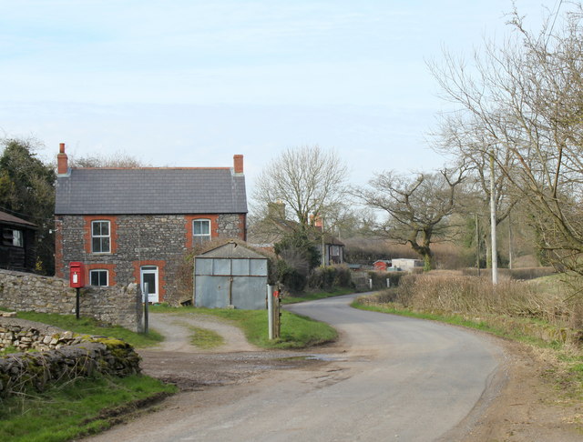
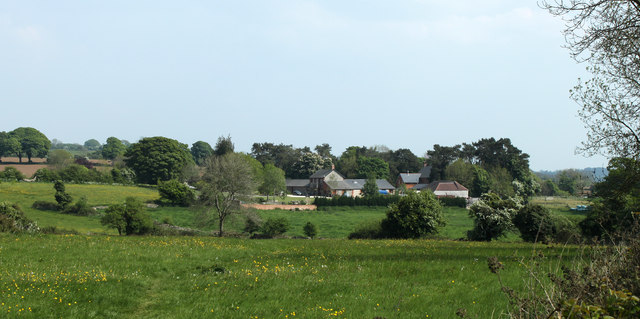
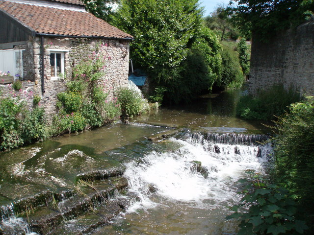
The village of Croscombe is nestled in a picturesque valley surrounded by rolling hills and farmland. It is known for its charming architecture, with many historic buildings dating back to the 17th and 18th centuries. The centerpiece of the village is the St. Mary's Church, a Grade I listed building that dates back to the Norman era. The church features a distinctive tower and a beautifully preserved interior.
Croscombe offers a range of amenities to its residents, including a village shop, a post office, and a primary school. The village also has a pub, The George Inn, which is a popular gathering place for locals and visitors alike. The surrounding countryside provides ample opportunities for outdoor activities such as hiking, cycling, and horse riding.
Croscombe is well-connected to the surrounding areas by road, with the A371 running through the village, providing easy access to nearby towns and cities. The closest railway station is located in the nearby city of Wells, offering connections to major destinations in the region.
Overall, Croscombe is a charming and idyllic village, offering a peaceful and picturesque setting for residents and visitors alike.
If you have any feedback on the listing, please let us know in the comments section below.
Croscombe Images
Images are sourced within 2km of 51.203307/-2.573678 or Grid Reference ST6045. Thanks to Geograph Open Source API. All images are credited.


Croscombe is located at Grid Ref: ST6045 (Lat: 51.203307, Lng: -2.573678)
Administrative County: Somerset
District: Mendip
Police Authority: Avon and Somerset
What 3 Words
///reputable.weds.commuted. Near Shepton Mallet, Somerset
Related Wikis
Croscombe
Croscombe is a village and civil parish 2 miles (3 km) west of Shepton Mallet and 4 miles (6 km) from Wells, in the Mendip district of Somerset, England...

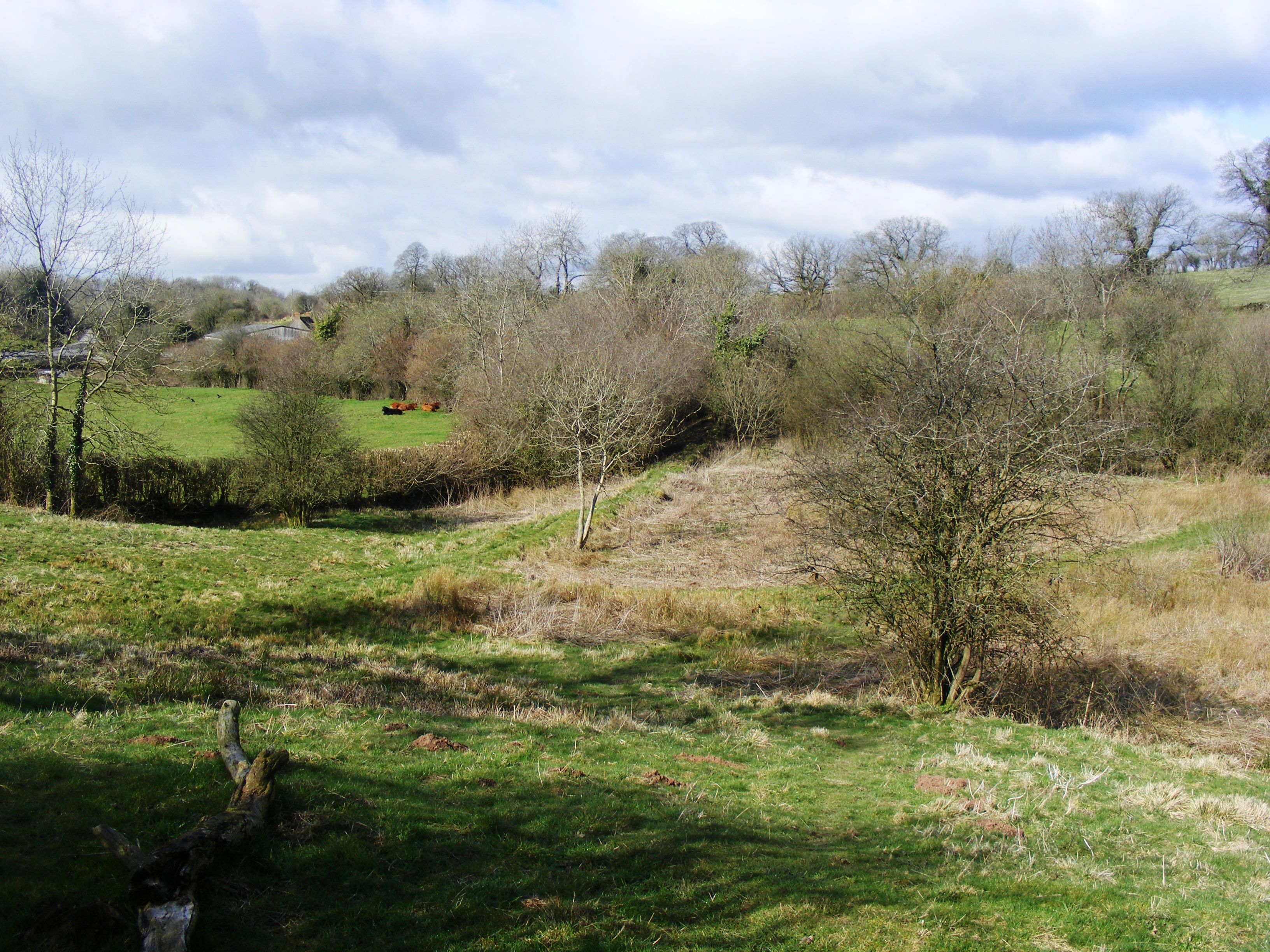
Thrupe Lane Swallet
Thrupe Lane Swallet (grid reference ST603458) is a 0.5 hectares (1.2 acres) geological Site of Special Scientific Interest in Somerset, notified in 1992...
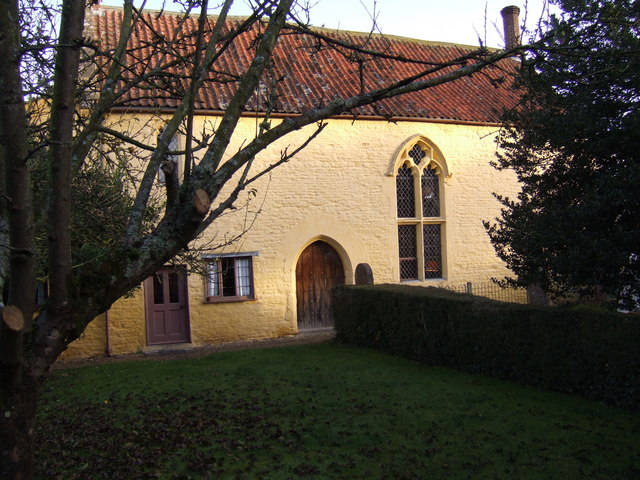
The Old Manor, Croscombe
The Old Manor in Croscombe, Somerset, England, was built around 1460–89 as a rectorial manor house for Hugh Sugar, the Treasurer of Wells Cathedral. It...
The Old Rectory, Croscombe
The Old Rectory in the village of Croscombe within the English county of Somerset was built in the 17th century and rebuilt in the 18th. It is a Grade...
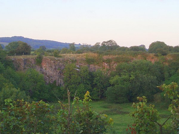
Windsor Hill Quarry
Windsor Hill Quarry (grid reference ST615451) is a 0.8 hectare geological Site of Special Scientific Interest near Shepton Mallet on the Mendip Hills in...
Windsor Hill Marsh
Windsor Hill Marsh (grid reference ST619454) is a 0.84 hectare biological Site of Special Scientific Interest, north of the town of Shepton Mallet in Somerset...
Brothers Cider
Brothers Cider is a brand of fruit cider originating in Somerset in South West England. Originally available at music festivals, it is now sold in pubs...
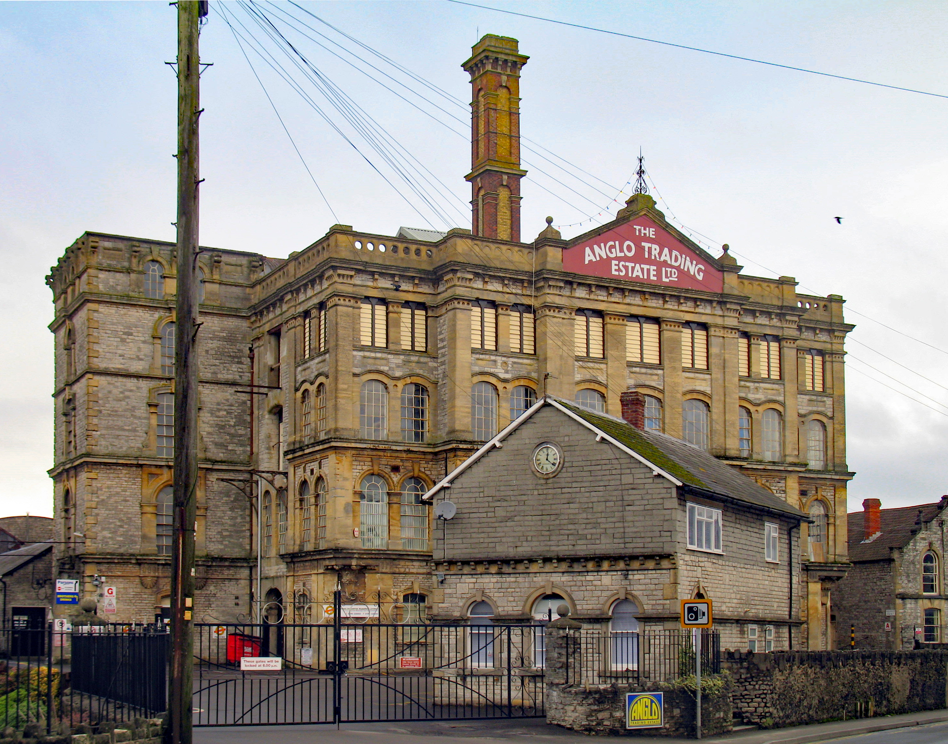
Anglo-Bavarian Brewery
The Anglo-Bavarian Brewery was originally established in Shepton Mallet in Somerset, England in 1864. It has been claimed as the first lager brewery in...
Nearby Amenities
Located within 500m of 51.203307,-2.573678Have you been to Croscombe?
Leave your review of Croscombe below (or comments, questions and feedback).