Broadfield
Settlement in Pembrokeshire
Wales
Broadfield
Broadfield is a small village located in the county of Pembrokeshire, in the southwestern part of Wales, United Kingdom. Situated in a rural setting, the village is surrounded by picturesque countryside and is known for its natural beauty. It is located approximately 4 miles northeast of the town of Narberth and 11 miles west of the county town of Haverfordwest.
Broadfield is a close-knit community with a population of around 500 residents. The village is characterized by its charming cottages and traditional buildings, giving it a quintessential Welsh village feel. The main focal point of the village is the St. Mary's Church, a historic place of worship dating back to the 13th century.
Despite its small size, Broadfield offers a range of amenities for its residents and visitors. The village has a local convenience store and a post office, providing essential services to the community. Additionally, there is a pub where locals and tourists can enjoy a drink or a meal.
The surrounding area is rich in natural attractions, with several walking trails and nature reserves nearby. The Pembrokeshire Coast National Park, renowned for its stunning landscapes and diverse wildlife, is within easy reach, making Broadfield an ideal base for outdoor enthusiasts. The village also benefits from its proximity to the Pembrokeshire coastline, offering opportunities for coastal walks and water-based activities.
Overall, Broadfield is a tranquil and picturesque village that offers a peaceful retreat for those seeking a countryside escape in the heart of Pembrokeshire.
If you have any feedback on the listing, please let us know in the comments section below.
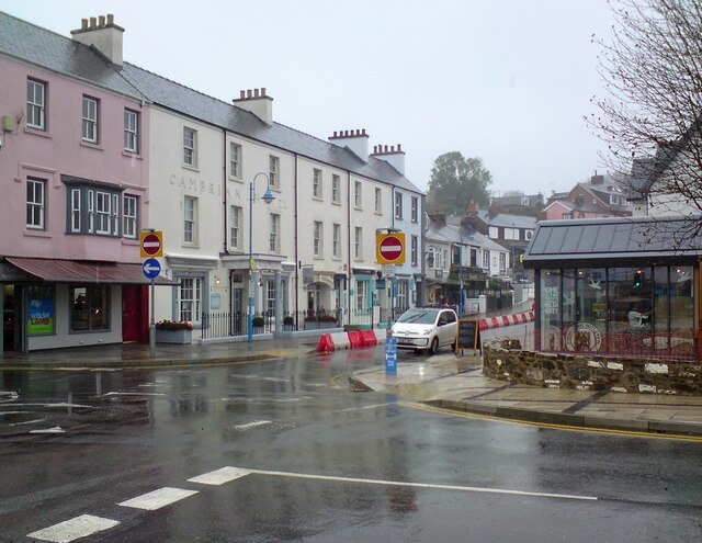
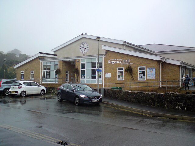
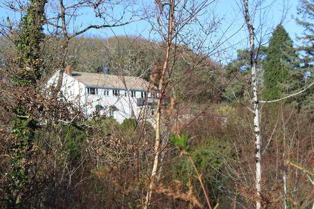
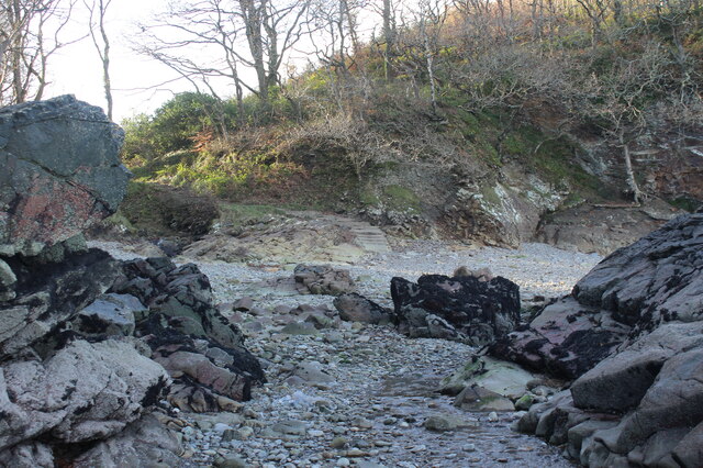
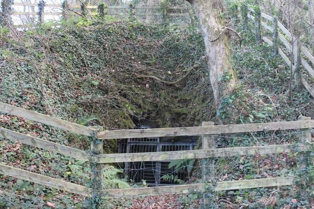
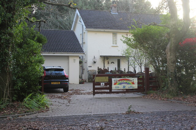
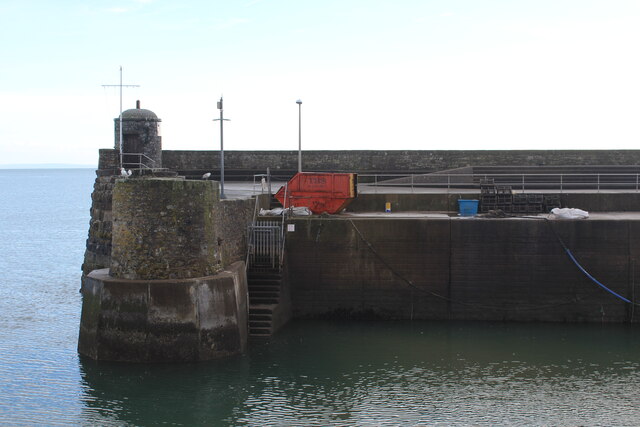
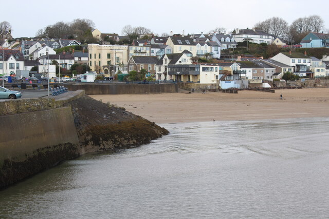
Broadfield Images
Images are sourced within 2km of 51.700578/-4.707839 or Grid Reference SN1203. Thanks to Geograph Open Source API. All images are credited.


Broadfield is located at Grid Ref: SN1203 (Lat: 51.700578, Lng: -4.707839)
Unitary Authority: Pembrokeshire
Police Authority: Dyfed Powys
What 3 Words
///duet.mixers.ruffle. Near Saundersfoot, Pembrokeshire
Nearby Locations
Related Wikis

Pembrokeshire Coalfield
The Pembrokeshire Coalfield in West Wales is one of the smallest British coalfields, but continuously worked from the 14th to 20th centuries. The main...

New Hedges
New Hedges is a village in the community of St Mary Out Liberty, Pembrokeshire, Wales. It is midway between Saundersfoot and Tenby. The population was...
St Mary Out Liberty
St Mary Out Liberty (also known as Tenby St Mary Out Liberty) is a community in the southeast of Pembrokeshire, Wales. The community was established in...
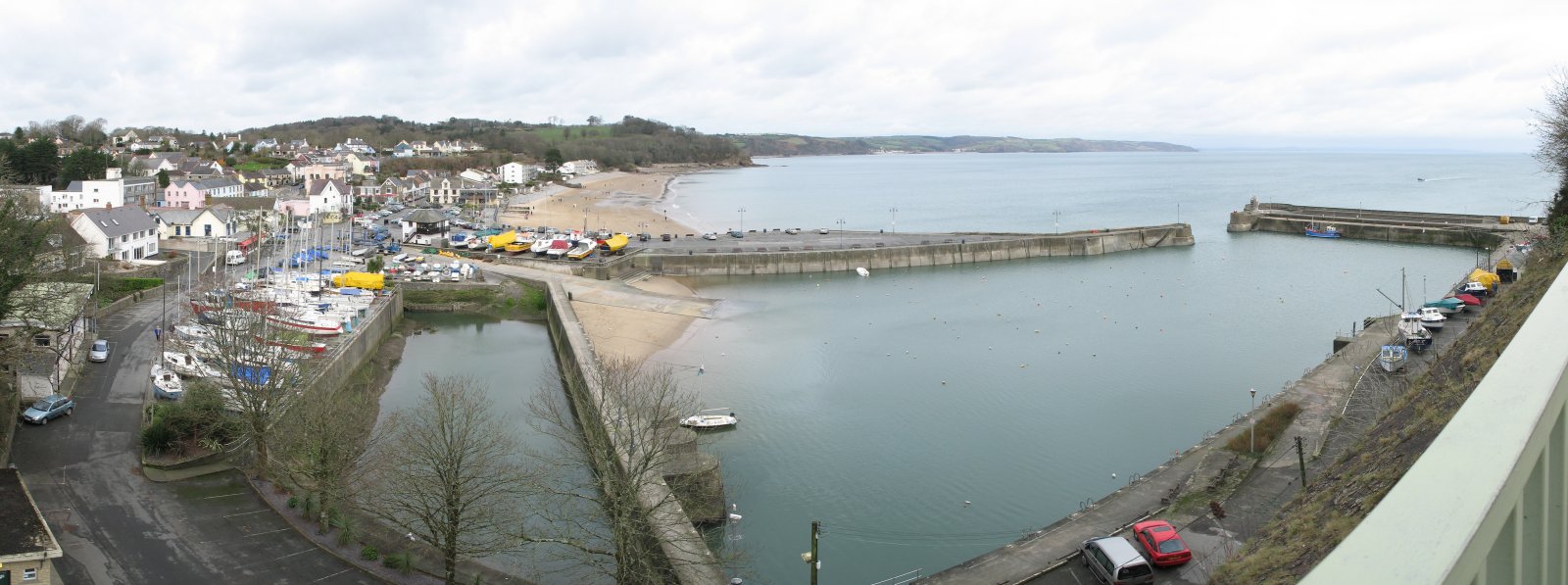
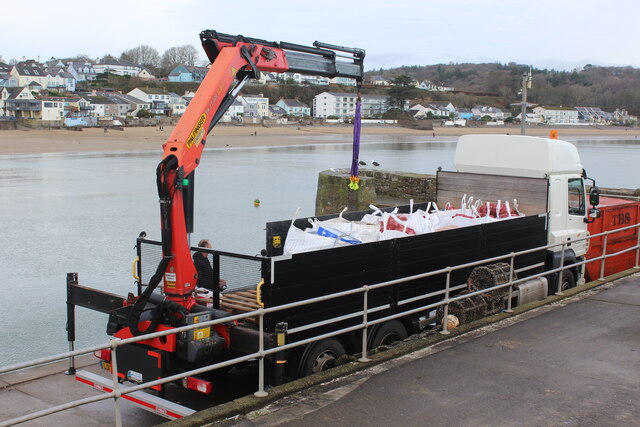
Saundersfoot
Saundersfoot (Welsh: Llanusyllt; Old Welsh: Llanussyllt) is a large village and community (and former electoral ward) in Pembrokeshire, Wales. It is near...
Broadfield, Pembrokeshire
Broadfield is a small village south of Saundersfoot in the parish and community of St Mary Out Liberty in Pembrokeshire, Wales. == References == ��2�...
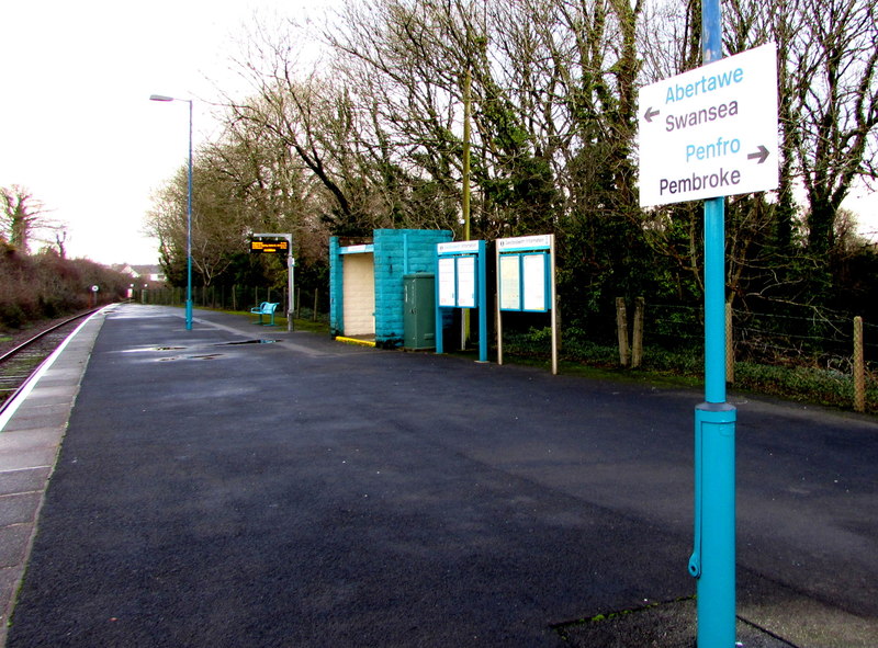
Saundersfoot railway station
Saundersfoot railway station is 1 mile (1.6 km) from Saundersfoot, Pembrokeshire, Wales. It is managed by Transport for Wales Rail. It is usually a request...
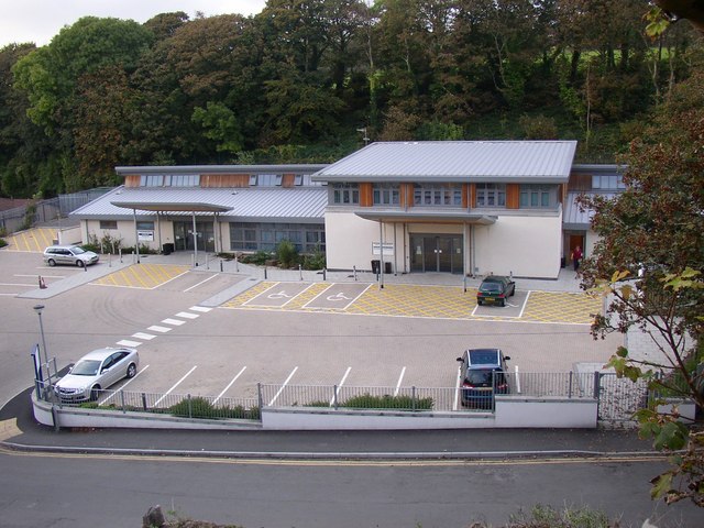
Tenby Cottage Hospital
Tenby Cottage Hospital (Welsh: Ysbyty Bwthyn Dinbych y Pysgod) is a community hospital in Tenby, Wales. It is managed by the Hywel Dda University Health...
Pentlepoir
Pentlepoir is a village in Pembrokeshire, Wales, approximately 3⁄4 mile (1.2 km) south of Kilgetty and 1 mile (1.6 km) west of Saundersfoot. The A478...
Nearby Amenities
Located within 500m of 51.700578,-4.707839Have you been to Broadfield?
Leave your review of Broadfield below (or comments, questions and feedback).