Cranoe

Civil Parish in Leicestershire Harborough

England

Cranoe

View towards Romans Farm The supposed route of the Roman road, Via Devana, runs across the view next to the farm. But it is not clear to me when the farm was built, or when it acquired its 'Roman' name. I can only find it on modern OS maps, not on late 19th or early 20th OS maps
View towards Romans Farm Credit: Tim Heaton

Cranoe is a small civil parish located in the county of Leicestershire, England. Situated in the Harborough district, it covers an area of approximately 2.5 square kilometers and is home to a population of around 100 residents.

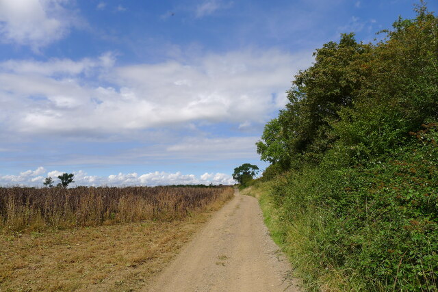
The parish is predominantly rural, characterized by picturesque countryside landscapes and rolling hills. It is surrounded by other small villages and hamlets, such as Church Langton, Tur Langton, and East Langton. The nearest town is Market Harborough, which is approximately 6 kilometers to the northeast.

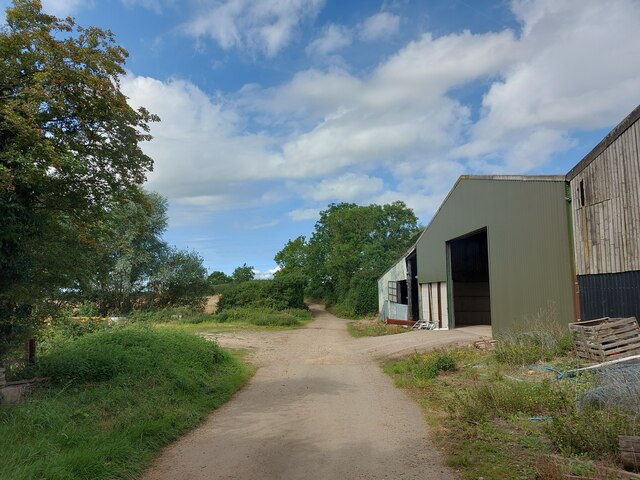
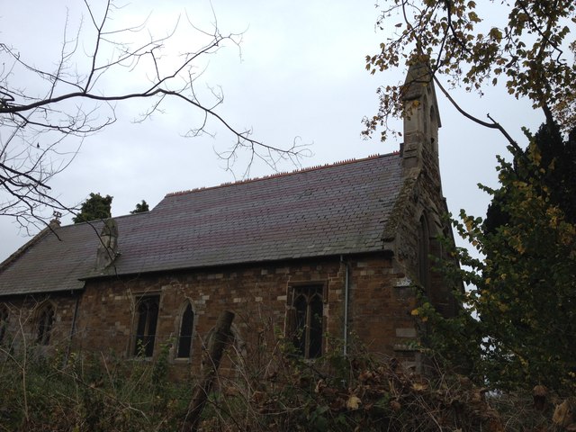
Cranoe is known for its quiet and peaceful atmosphere, offering a tranquil setting away from the hustle and bustle of city life. The village is primarily residential, with a mix of traditional and modern houses dotted throughout the area. There are also a few small farms in the parish, contributing to the area's rural charm.

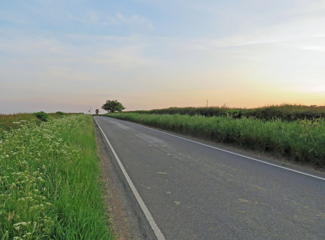
Despite its small size, Cranoe does not have any significant amenities within its boundaries. However, residents have easy access to nearby towns for shopping, healthcare, and other services. The village is well-connected to the surrounding areas through a network of roads, making it convenient for commuting and travel.

Overall, Cranoe is a charming and idyllic rural parish, offering a peaceful and close-knit community for its residents. It is an ideal location for those seeking a quieter lifestyle while still being within reach of essential amenities and nearby towns.

If you have any feedback on the listing, please let us know in the comments section below.
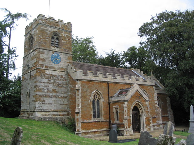
Cranoe Images

Images are sourced within 2km of 52.551758/-0.882492 or Grid Reference SP7595. Thanks to Geograph Open Source API. All images are credited.

View towards Romans Farm The supposed route of the Roman road, Via Devana, runs across the view next to the farm. But it is not clear to me when the farm was built, or when it acquired its 'Roman' name. I can only find it on modern OS maps, not on late 19th or early 20th OS maps
View towards Romans Farm
The supposed route of the Roman road, Via Devana, runs across the view next to the farm. But it is not clear to me when the farm was built, or when it acquired its 'Roman' name. I can only find it on modern OS maps, not on late 19th or early 20th OS maps
Cycle Route 64 crossing Langton Lane, Cranoe A most enjoyable cycle route from Market Harborough (left) to Lincoln. Mostly gentle gradients, though a steep climb up the hill to the right.
Cycle Route 64 crossing Langton Lane, Cranoe
A most enjoyable cycle route from Market Harborough (left) to Lincoln. Mostly gentle gradients, though a steep climb up the hill to the right.
Fields south of Cranoe Looking along the supposed route of Via Devana on the north side of the Welland valley
Fields south of Cranoe
Looking along the supposed route of Via Devana on the north side of the Welland valley
Cranoe Road. View north-west towards Glooston On Cycle Route 64 after the climb up Church Hill, Cranoe
Cranoe Road. View north-west towards Glooston
On Cycle Route 64 after the climb up Church Hill, Cranoe
Andrew's Lane leaving the west side of Glooston
Andrew's Lane leading to Glooston
Gartree Road west of Glooston This is the south-eastern end of the 10 miles of straight roads and byways leading north-west to Leicester: the Gartree Road; which follows the route of the Roman road, Via Devana.
At this point the OS map marks the line of the Roman road a few metres to the left of the track, where there is indeed a slightly raised, broad ridge - the agger?
Gartree Road west of Glooston
This is the south-eastern end of the 10 miles of straight roads and byways leading north-west to Leicester: the Gartree Road; which follows the route of the Roman road, Via Devana. At this point the OS map marks the line of the Roman road a few metres to the left of the track, where there is indeed a slightly raised, broad ridge - the agger?
Fields to the west of Welham Lane
Welham Lane towards Cranoe The Midshires Way long distance footpath follow this road at this point.
Welham Lane towards Cranoe
The Midshires Way long distance footpath follow this road at this point.
Welham Lane towards Welham The Midshires Way long distance footpath follow this road at this point.
Welham Lane towards Welham
The Midshires Way long distance footpath follow this road at this point.
Welham Lane towards Cranoe The Midshires Way long distance footpath follow this road at this point.
Welham Lane towards Cranoe
The Midshires Way long distance footpath follow this road at this point.
Welham Lane south from Cranoe
Welham Lane towards Welham The Midshires Way long distance footpath follow this road at this point.
Welham Lane towards Welham
The Midshires Way long distance footpath follow this road at this point.
Gate into a field east of Welham Lane
Into the centre of Cranoe
Langton Road towards Cranoe
Langton Road towards Hallaton
Glooston Parish Church
Show me another place!

Cranoe is located at Grid Ref: SP7595 (Lat: 52.551758, Lng: -0.882492)

Administrative County: Leicestershire

District: Harborough

Police Authority: Leicestershire

What 3 Words

///discussed.brisk.coveted. Near Kibworth Harcourt, Leicestershire

Nearby Locations

Cranoe Glooston

Related Wikis

Cranoe

Cranoe is a small village and civil parish in the Harborough district of Leicestershire, England. The parish had a population of 35 in 2001. The population...

Glooston

Glooston is a small village and civil parish in the Harborough district of Leicestershire, England. According to the 2001 census the parish had a population...
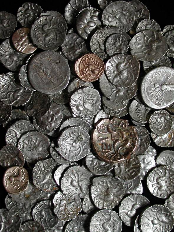
Hallaton Treasure

The Hallaton Treasure, the largest hoard of British Iron Age coins, was discovered in 2000 near Hallaton in southeast Leicestershire, England, by volunteers...

Slawston

Slawston is a village and civil parish in the Harborough district of Leicestershire, England, north-east of Market Harborough. According to the 2001 census...

Nearby Amenities

Located within 500m of 52.551758,-0.882492
Bus Stop
Crossroads
Bus: yes
Naptan AtcoCode: 260018800
Naptan Bearing: E
Naptan BusStopType: CUS
Naptan CommonName: Crossroads
Naptan Indicator: outside
Naptan Landmark: Crossroads
Naptan NaptanCode: leijmdta
Naptan Notes: Non-Hourly - County
Naptan Street: Langton Road
Naptan Verified: no
Public Transport: platform
Source: naptan_import
Lat/Long: 52.5481593/-0.8789053
Bus Stop
Crossroads
Bus: yes
Naptan AtcoCode: 260018801
Naptan Bearing: W
Naptan BusStopType: CUS
Naptan CommonName: Crossroads
Naptan Indicator: opposite
Naptan Landmark: Crossroads
Naptan NaptanCode: leijmdtd
Naptan Notes: Non-Hourly - County
Naptan Street: Langton Road
Naptan Verified: no
Public Transport: platform
Source: naptan_import
Lat/Long: 52.5480268/-0.8791594
Bench
Lat/Long: 52.5500229/-0.8785388
The data included in this document is from www.openstreetmap.org. The data is made available under ODbL.

Have you been to Cranoe?

Leave your review of Cranoe below (or comments, questions and feedback).