Cowley

Civil Parish in Gloucestershire Cotswold

England

Cowley

Converted vernacular farm buildings
Converted vernacular farm buildings Credit: P Gaskell

Cowley is a small civil parish located in the county of Gloucestershire, England. Situated in the Cotswold district, it covers an area of approximately 2.5 square miles. The parish is nestled in the beautiful countryside, surrounded by rolling hills and picturesque landscapes.

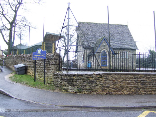
The village of Cowley itself is a charming, rural settlement with a population of around 200 residents. It is characterized by its quaint cottages, many of which date back several centuries, and its peaceful, idyllic atmosphere. The parish is primarily residential, with a small number of local businesses and amenities, including a village hall and a primary school.

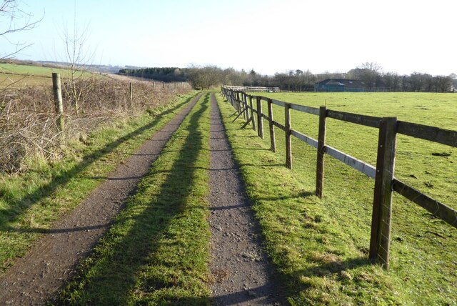
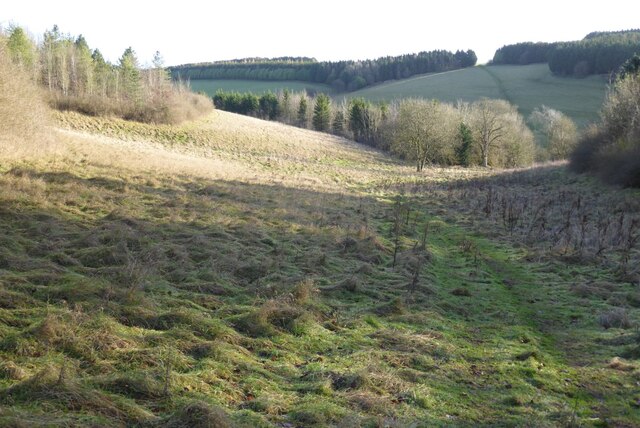
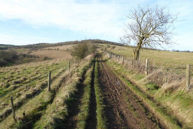
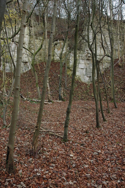
The area is renowned for its natural beauty and is a popular destination for outdoor enthusiasts. The nearby Cotswold Way, a long-distance walking trail, passes through Cowley, offering stunning views of the surrounding countryside. There are also numerous footpaths and bridleways that crisscross the parish, providing opportunities for walking, cycling, and horse riding.

While small in size, Cowley has a rich history. Evidence of Roman settlements has been discovered in the area, and the village itself has a medieval church, St. Mary's, which is a Grade I listed building. The church is known for its beautiful stained glass windows and intricate architecture.

Overall, Cowley, Gloucestershire, is a charming and picturesque civil parish that offers a tranquil countryside retreat for its residents and visitors alike.

If you have any feedback on the listing, please let us know in the comments section below.
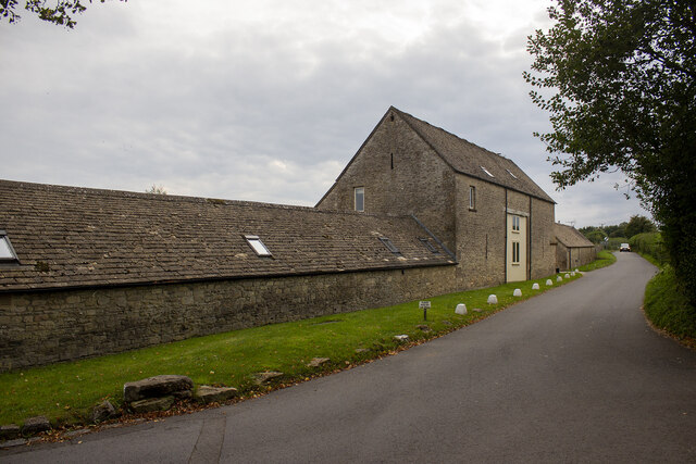
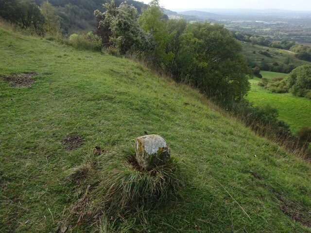
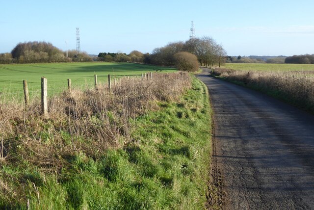
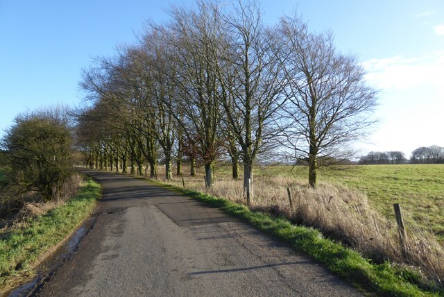
Cowley Images

Images are sourced within 2km of 51.828544/-2.078313 or Grid Reference SO9414. Thanks to Geograph Open Source API. All images are credited.

Converted vernacular farm buildings
Brimsfield Park Farm
Watercombe Farm
Watercombe Farm
Boundary Stone, Barrow Wake, Birdlip The boundary between Cowley Parish to the SE (including Birdlip) and Badgeworth (NE) runs along the lip of a very steep escarpment. The inscription would have been C M 1857 like others along the same ridge. See <a title="https://www.geograph.org.uk/discuss/index.php?&action=vthread&forum=11&topic=32582" href="https://www.geograph.org.uk/discuss/index.php?&action=vthread&forum=11&topic=32582">Link</a>

Inscription: ?85?

Milestone Society National ID: GL_BADCOW03pb
Boundary Stone, Barrow Wake, Birdlip
The boundary between Cowley Parish to the SE (including Birdlip) and Badgeworth (NE) runs along the lip of a very steep escarpment. The inscription would have been C M 1857 like others along the same ridge. See Link Inscription: ?85? Milestone Society National ID: GL_BADCOW03pb
Manx Loaghtan sheep Manx Loaghtan sheep in a field at Coberley.
Manx Loaghtan sheep
Manx Loaghtan sheep in a field at Coberley.
Manx Loaghtan sheep Manx Loaghtan sheep in a field at Coberley.
Manx Loaghtan sheep
Manx Loaghtan sheep in a field at Coberley.
Manx Loaghtan sheep Manx Loaghtan sheep in a field at Coberley.
Manx Loaghtan sheep
Manx Loaghtan sheep in a field at Coberley.
Minor country road No through road to Birdlip Radio Station.
Minor country road
No through road to Birdlip Radio Station.
Beech trees Beech trees near Birdlip Radio Station.
Beech trees
Beech trees near Birdlip Radio Station.
The Gloucestershire Way The Gloucestershire Way from a track approaching Rushwood Kennels.
The Gloucestershire Way
The Gloucestershire Way from a track approaching Rushwood Kennels.
The Gloucestershire Way The Gloucestershire Way crossing a field between forestry and entering the valley above Coberley known as Coldwell Bottom.
The Gloucestershire Way
The Gloucestershire Way crossing a field between forestry and entering the valley above Coberley known as Coldwell Bottom.
Coldwell Bottom The Gloucestershire Way long distance footpath follows this path above the valley on the right which is called Coldwell Bottom.
Coldwell Bottom
The Gloucestershire Way long distance footpath follows this path above the valley on the right which is called Coldwell Bottom.
Path and gate above Coldwell Bottom The Gloucestershire Way follows this right of way above Coldwell Bottom.
Path and gate above Coldwell Bottom
The Gloucestershire Way follows this right of way above Coldwell Bottom.
Coldwell Bottom View across Coldwell Bottom to the Churn valley beyond, from the Gloucestershire Way.
Coldwell Bottom
View across Coldwell Bottom to the Churn valley beyond, from the Gloucestershire Way.
Gloucestershire Way Gloucestershire Way with Coldwell Bottom below on the left.
Gloucestershire Way
Gloucestershire Way with Coldwell Bottom below on the left.
A junction of paths The right of way on the left passing through the gate is the route of the Gloucestershire Way, alternatively there is a right of way on the right which eventually rejoins the Gloucestershire Way.
A junction of paths
The right of way on the left passing through the gate is the route of the Gloucestershire Way, alternatively there is a right of way on the right which eventually rejoins the Gloucestershire Way.
A junction of rights of way Continuing along this right of way passes Cuckoopen Barn Farm.  The path on the left, out of view is the route of the Gloucestershire Way.  This is almost exactly the same view as when I was last here almost fourteen years ago to the day <a href="https://www.geograph.org.uk/photo/653006">SO9515 : Footpath junction near Coberley</a>.
A junction of rights of way
Continuing along this right of way passes Cuckoopen Barn Farm. The path on the left, out of view is the route of the Gloucestershire Way. This is almost exactly the same view as when I was last here almost fourteen years ago to the day SO9515 : Footpath junction near Coberley.
The Gloucestershire Way The Gloucestershire Way to the west of Coberley and above Coldwell Bottom which is out of view on the left.
The Gloucestershire Way
The Gloucestershire Way to the west of Coberley and above Coldwell Bottom which is out of view on the left.
Show me another place!

Cowley is located at Grid Ref: SO9414 (Lat: 51.828544, Lng: -2.078313)

Administrative County: Gloucestershire

District: Cotswold

Police Authority: Gloucestershire

What 3 Words

///relations.titles.operation. Near Shurdington, Gloucestershire

Nearby Locations

Cowley

Related Wikis

Nearby Amenities

Located within 500m of 51.828544,-2.078313
Power: pole
Lat/Long: 51.8291914/-2.0849709
Power: pole
Lat/Long: 51.829237/-2.0846893
Power: pole
Lat/Long: 51.8294533/-2.0832852
Power: pole
Lat/Long: 51.8322422/-2.0819233
Power: pole
Lat/Long: 51.8315738/-2.081944
Power: pole
Lat/Long: 51.8309184/-2.0819611
Power: pole
Lat/Long: 51.8302813/-2.0819796
Power: pole
Lat/Long: 51.8296477/-2.081997
Power: pole
Lat/Long: 51.8295926/-2.0808725
Power: pole
Lat/Long: 51.8295267/-2.0796011
Power: pole
Lat/Long: 51.8294629/-2.0783915
Power: pole
Lat/Long: 51.8294003/-2.0771308
Power: pole
Lat/Long: 51.8293323/-2.0758346
Power: pole
Lat/Long: 51.8294832/-2.0745002
Power: pole
Lat/Long: 51.8296373/-2.0731846
Location Transition: yes
Power: pole
Lat/Long: 51.829789/-2.0718187
The data included in this document is from www.openstreetmap.org. The data is made available under ODbL.

Have you been to Cowley?

Leave your review of Cowley below (or comments, questions and feedback).