Coverham with Agglethorpe
Civil Parish in Yorkshire Richmondshire
England
Coverham with Agglethorpe

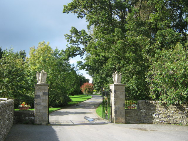
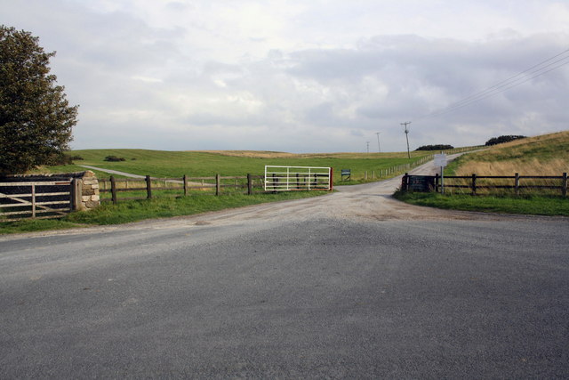
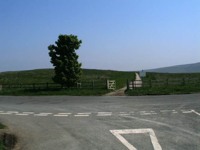
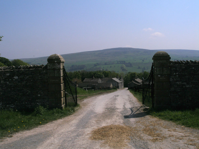
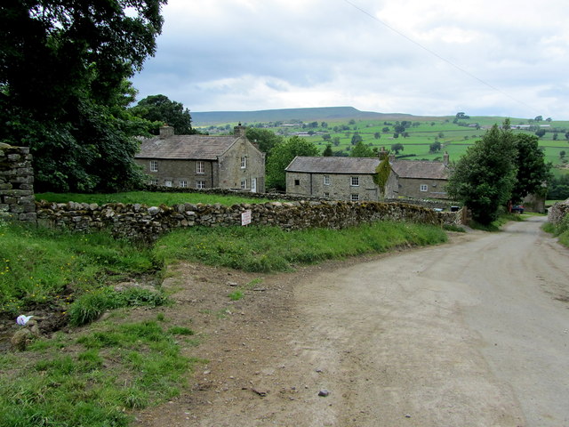
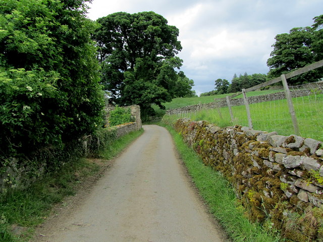
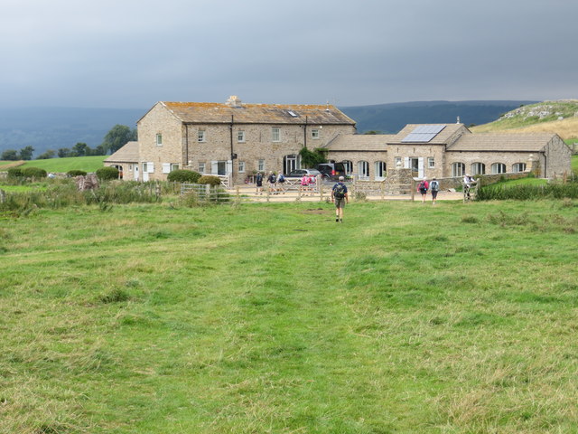
Coverham with Agglethorpe is a civil parish located in the Richmondshire district of North Yorkshire, England. It is situated in the picturesque Yorkshire Dales National Park, approximately 7 miles northeast of the market town of Leyburn. The parish encompasses the two small villages of Coverham and Agglethorpe, along with several surrounding hamlets and scattered farms.
Coverham, the larger of the two villages, is centered around Coverham Abbey, a former Cistercian monastery established in the 13th century. The abbey ruins, which include a magnificent 14th-century gatehouse, are a significant historical and architectural attraction in the area. The village also features a charming parish church dedicated to St. Peter, dating back to the 12th century, as well as a few traditional stone-built houses.
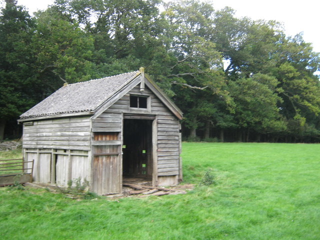
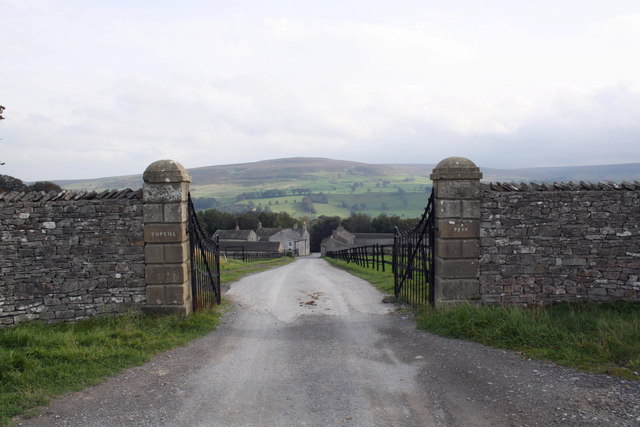
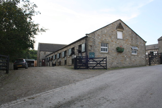
Agglethorpe, in contrast, is a smaller settlement with a more rural feel. It comprises a collection of stone cottages, farmhouses, and barns surrounded by rolling green fields and picturesque countryside. The village is known for its tranquil atmosphere, providing a peaceful retreat for residents and visitors alike.
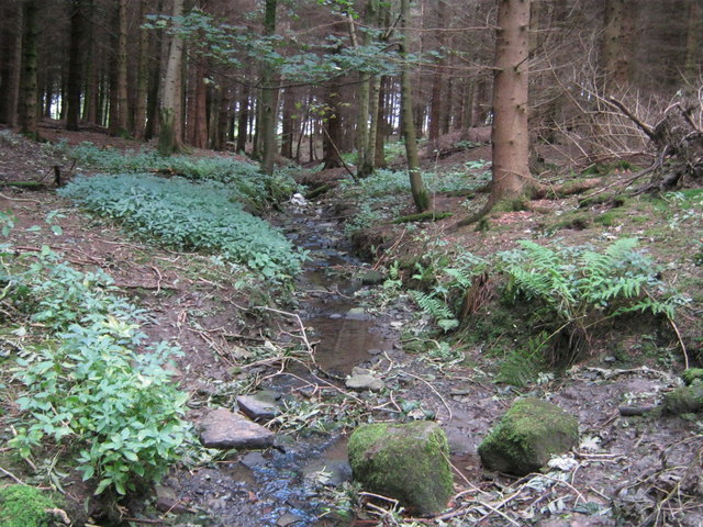
The region's natural beauty and rural character make Coverham with Agglethorpe an ideal destination for outdoor enthusiasts. The surrounding landscape offers ample opportunities for walking, cycling, and exploring the stunning Yorkshire Dales. Additionally, the area is known for its thriving wildlife, including a variety of bird species, making it a popular spot for birdwatching.
Overall, Coverham with Agglethorpe presents a charming and idyllic representation of rural Yorkshire, combining historical landmarks, natural splendor, and a strong sense of community.
If you have any feedback on the listing, please let us know in the comments section below.
Coverham with Agglethorpe Images
Images are sourced within 2km of 54.273759/-1.85838 or Grid Reference SE0986. Thanks to Geograph Open Source API. All images are credited.


Coverham with Agglethorpe is located at Grid Ref: SE0986 (Lat: 54.273759, Lng: -1.85838)
Division: North Riding
Administrative County: North Yorkshire
District: Richmondshire
Police Authority: North Yorkshire
What 3 Words
///generated.perfumed.straying. Near Leyburn, North Yorkshire
Nearby Locations
Related Wikis

Forbidden Corner
The Forbidden Corner is a folly garden located in the Tupgill Park Estate, at Coverham in Coverdale, in the Yorkshire Dales National Park, England. It...

Agglethorpe
Agglethorpe is a hamlet in the Richmondshire district of North Yorkshire, England, it lies in northern Coverdale, approximately 4 miles (6.4 km) south...

Coverham with Agglethorpe
Coverham with Agglethorpe is a civil parish in North Yorkshire, England. It includes the villages of Coverham and Agglethorpe. The population of the civil...

Holy Trinity Church, Coverham
Holy Trinity Church is a redundant Anglican church in the village of Coverham, North Yorkshire, England. It is recorded in the National Heritage List...

Coverham
Coverham is a village in Coverdale in the Yorkshire Dales in North Yorkshire, England. It lies 2 miles (3.2 km) west of the town of Middleham. == History... ==

Caldbergh with East Scrafton
Caldbergh with East Scrafton is a civil parish in the Richmondshire district of North Yorkshire, England. The parish includes the settlements of Caldbergh...

Caldbergh
Caldbergh (Caldeber in the Domesday Book) is a hamlet within the Yorkshire Dales, North Yorkshire, England. It lies about four miles south of Leyburn....
Coverham Abbey
Coverham Abbey, North Yorkshire, England, was a Premonstratensian monastery that was founded at Swainby in 1190 by Helewisia, daughter of the Chief Justiciar...
Nearby Amenities
Located within 500m of 54.273759,-1.85838Have you been to Coverham with Agglethorpe?
Leave your review of Coverham with Agglethorpe below (or comments, questions and feedback).