Cover Wood
Wood, Forest in Yorkshire Richmondshire
England
Cover Wood

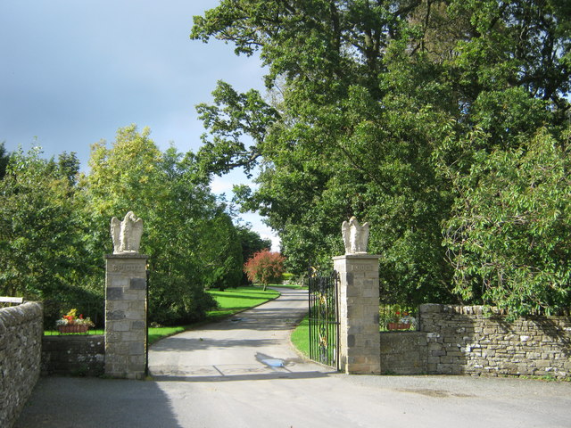
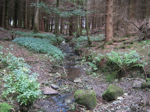
Cover Wood is a picturesque forest located in Yorkshire, England. This enchanting woodland spans over an area of approximately 100 acres, making it a popular destination for nature lovers and outdoor enthusiasts. The forest is known for its diverse and lush vegetation, comprising a mix of deciduous and coniferous trees, including oak, beech, birch, and pine.
As visitors explore Cover Wood, they are greeted by a serene and tranquil atmosphere. The forest floor is covered in a thick layer of moss and fallen leaves, creating a soft and cushioned path. The sunlight filters through the foliage, casting a beautiful dappled effect on the forest floor.
Cover Wood is a haven for wildlife, providing a safe habitat for numerous species. Birdwatchers can spot a variety of birds, including woodpeckers, owls, and thrushes. Squirrels scurry amongst the trees, while rabbits and deer occasionally make appearances, adding to the sense of natural beauty and wildlife diversity in the area.
The forest offers a range of activities for visitors. There are well-marked walking trails, allowing hikers to explore the forest at their own pace. The paths wind through the dense woods, offering breathtaking views and opportunities for peaceful reflection. Additionally, Cover Wood has designated picnic areas, providing a perfect spot for families and friends to enjoy a leisurely outdoor meal surrounded by nature.
Cover Wood, Yorkshire, is a true gem for nature enthusiasts, offering a serene escape from the hustle and bustle of everyday life. Its vibrant vegetation, diverse wildlife, and tranquil ambiance make it a must-visit destination for those seeking a true connection with the natural world.
If you have any feedback on the listing, please let us know in the comments section below.
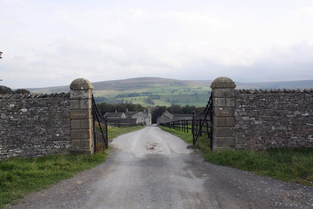
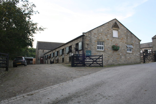
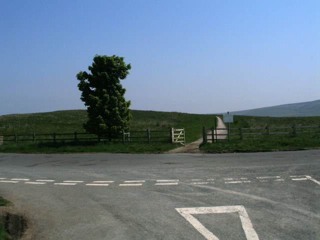
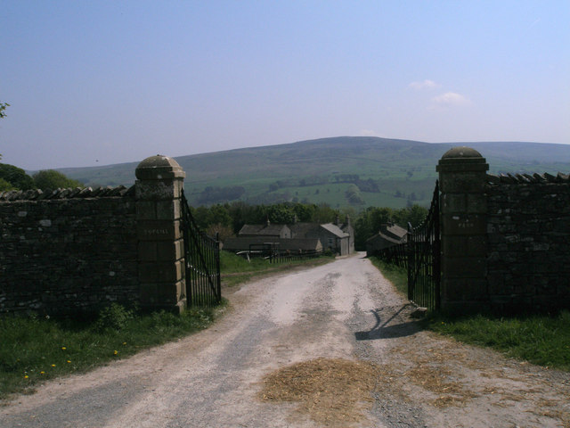
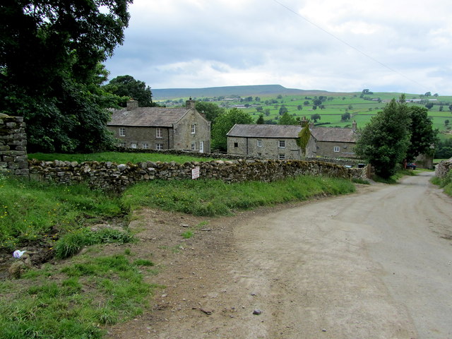
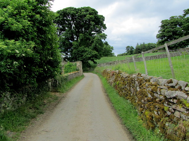
Cover Wood Images
Images are sourced within 2km of 54.270351/-1.8487971 or Grid Reference SE0986. Thanks to Geograph Open Source API. All images are credited.


Cover Wood is located at Grid Ref: SE0986 (Lat: 54.270351, Lng: -1.8487971)
Division: North Riding
Administrative County: North Yorkshire
District: Richmondshire
Police Authority: North Yorkshire
What 3 Words
///dumpling.forgives.storage. Near Leyburn, North Yorkshire
Nearby Locations
Related Wikis

Holy Trinity Church, Coverham
Holy Trinity Church is a redundant Anglican church in the village of Coverham, North Yorkshire, England. It is recorded in the National Heritage List...

Coverham
Coverham is a village in Coverdale in the Yorkshire Dales in North Yorkshire, England. It lies 2 miles (3.2 km) west of the town of Middleham. == History... ==
Coverham Abbey
Coverham Abbey, North Yorkshire, England, was a Premonstratensian monastery that was founded at Swainby in 1190 by Helewisia, daughter of the Chief Justiciar...

Forbidden Corner
The Forbidden Corner is a folly garden located in the Tupgill Park Estate, at Coverham in Coverdale, in the Yorkshire Dales National Park, England. It...

Caldbergh with East Scrafton
Caldbergh with East Scrafton is a civil parish in the Richmondshire district of North Yorkshire, England. The parish includes the settlements of Caldbergh...

Caldbergh
Caldbergh (Caldeber in the Domesday Book) is a hamlet within the Yorkshire Dales, North Yorkshire, England. It lies about four miles south of Leyburn....
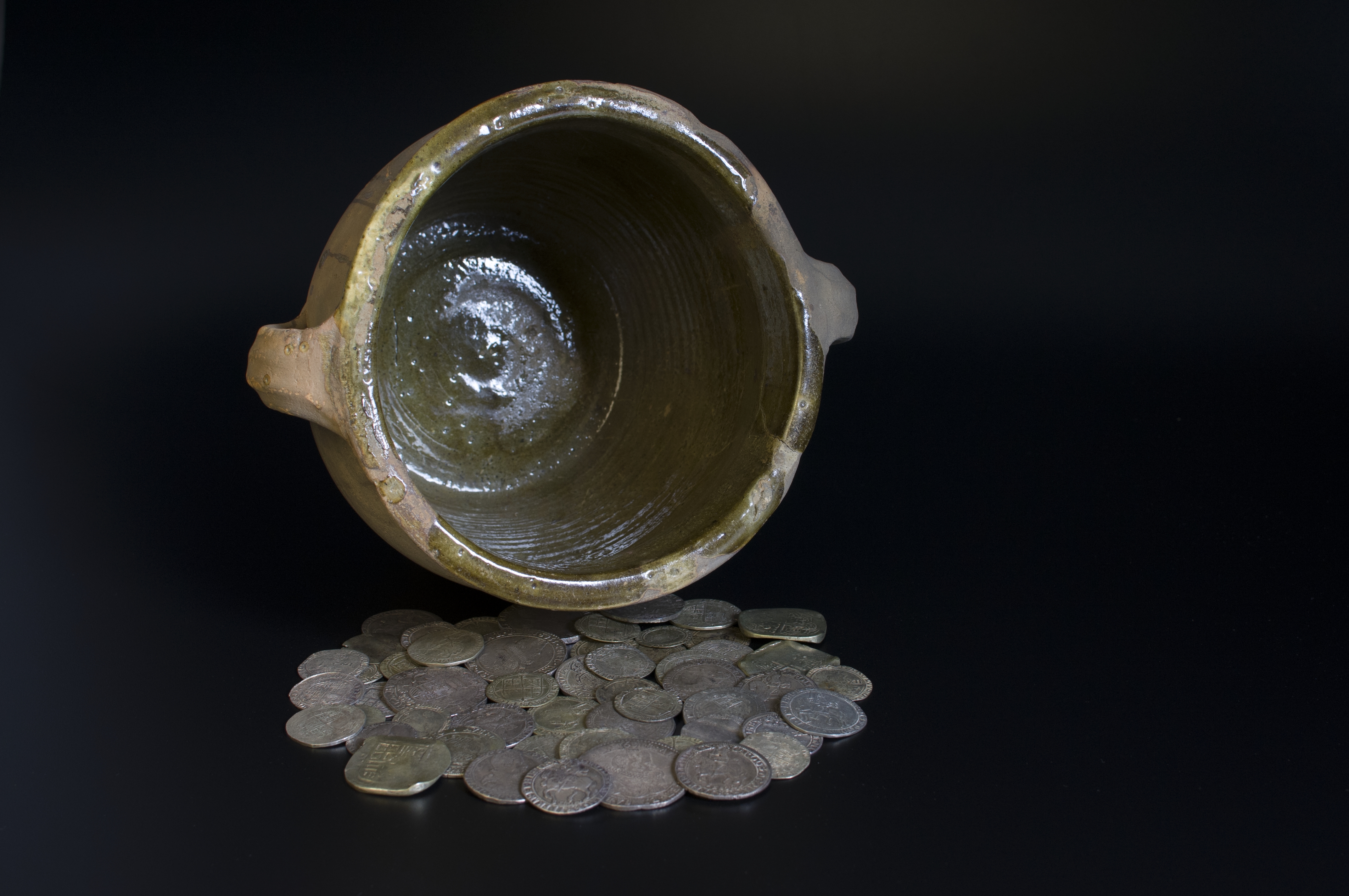
Middleham Hoard
The Middleham Hoard is a coin hoard found near Middleham, North Yorkshire in England. It dates from the period of the English Civil War, and consists of...

Agglethorpe
Agglethorpe is a hamlet in the Richmondshire district of North Yorkshire, England, it lies in northern Coverdale, approximately 4 miles (6.4 km) south...
Nearby Amenities
Located within 500m of 54.270351,-1.8487971Have you been to Cover Wood?
Leave your review of Cover Wood below (or comments, questions and feedback).