Town, Broad
Settlement in Wiltshire
England
Town, Broad

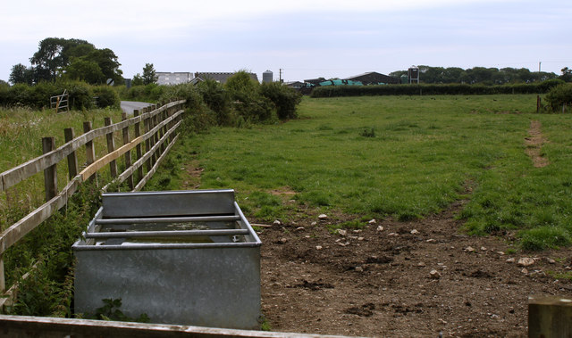
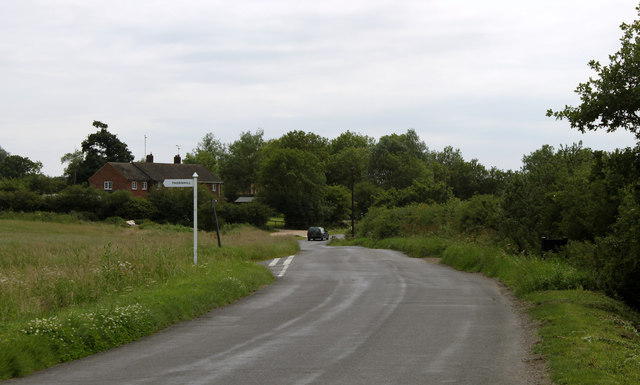
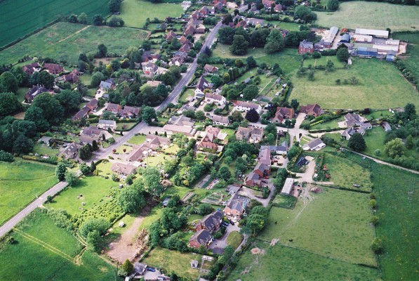
Town, Broad is a charming village located in the county of Wiltshire, England. Situated amidst the picturesque countryside, Town, Broad offers a tranquil and idyllic setting for residents and visitors alike. The village is nestled in a valley, surrounded by lush green fields and rolling hills, providing breathtaking views of the natural landscape.
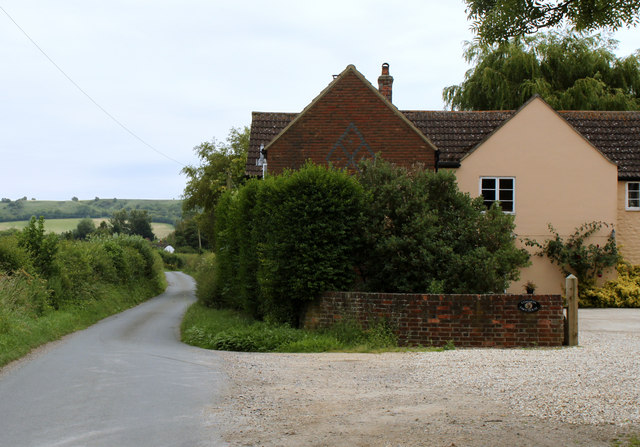
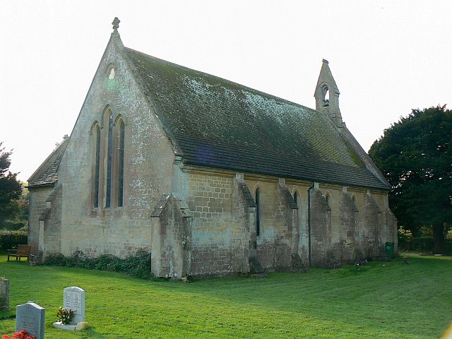
One of the notable features of Town, Broad is its historic architecture. The village is dotted with charming cottages and traditional stone houses, which add to its quaint and traditional appeal. The local church, St. Mary's, is an architectural gem, dating back to the medieval period and boasting stunning stained glass windows and intricate carvings.
Despite its small size, Town, Broad offers a range of amenities and services to cater to the needs of its residents. There are a few local shops and a village pub, where locals and visitors can enjoy a pint of locally brewed ale or savor traditional British cuisine. The village also has a primary school, providing education to the younger population.
For outdoor enthusiasts, Town, Broad is an ideal destination. The surrounding countryside offers ample opportunities for hiking, cycling, and exploring the area's natural beauty. The village is also located near several nature reserves and parks, providing a haven for wildlife and birdwatching enthusiasts.
In conclusion, Town, Broad is a picturesque and peaceful village in Wiltshire, offering a slice of traditional English countryside living. Its historic architecture, stunning natural surroundings, and range of amenities make it a charming destination for residents and visitors seeking a tranquil and authentic rural experience.
If you have any feedback on the listing, please let us know in the comments section below.
Town, Broad Images
Images are sourced within 2km of 51.504532/-1.872934 or Grid Reference SU0878. Thanks to Geograph Open Source API. All images are credited.

![2011 : South of east from the Bushton road A field of mowing grass and thistles, about ready for cutting even if only to get rid of the thistles.
Away in the distance near the top of the escarpment a white horse (grey actually) is carved into the hillside [<a href="https://www.geograph.org.uk/gridref/SU0978">SU0978</a>]](https://s1.geograph.org.uk/geophotos/02/51/51/2515189_8ab12250.jpg)


![Four ways to go [1] At the bottom of the gully near the foot of the escarpment, there are four ways to go. This is the way into the gully leading back up the escarpment.](https://s2.geograph.org.uk/geophotos/03/10/27/3102702_f0374152.jpg)
![Four ways to go [2] At the bottom of the gully near the foot of the escarpment, there are four ways to go. This is the path leading north along the bottom of the escarpment and along the edge of Bincknoll Wood.](https://s1.geograph.org.uk/geophotos/03/10/37/3103773_e3f94cbc.jpg)
![Four ways to go [3] At the bottom of the gully near the foot of the escarpment, there are four ways to go. This is the path heading south along the bottom of the escarpment. Heavy rain was sweeping in.](https://s3.geograph.org.uk/geophotos/03/10/37/3103783_b345fc2d.jpg)

Town, Broad is located at Grid Ref: SU0878 (Lat: 51.504532, Lng: -1.872934)
Unitary Authority: Wiltshire
Police Authority: Wiltshire
What 3 Words
///songs.rush.casino. Near Royal Wootton Bassett, Wiltshire
Nearby Locations
Related Wikis
Christ Church, Broad Town
Christ Church is the parish church of the village of Broad Town in Wiltshire, England. Constructed between 1844 and 1846 as a late Commissioners' church...
Broad Town
Broad Town is a village and civil parish in Wiltshire, England, about 3 miles (5 km) southeast of Royal Wootton Bassett and 6 miles (10 km) southwest of...
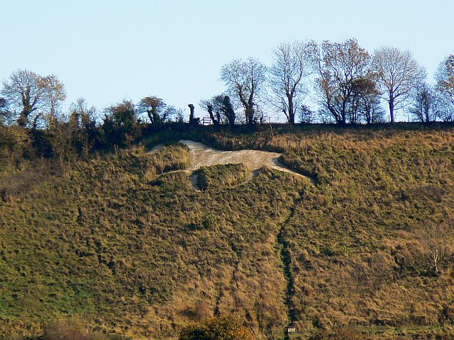
Broad Town White Horse
Broad Town White Horse is a hill figure of a white horse located in the village of Broad Town, Wiltshire, England. One of eight canonical hill figures...

Goldborough Farm Meadows
Goldborough Farm Meadows (grid reference SU086800) is a 10.32 hectare biological Site of Special Scientific Interest in Wiltshire, England. == Sources... ==
Nearby Amenities
Located within 500m of 51.504532,-1.872934Have you been to Town, Broad?
Leave your review of Town, Broad below (or comments, questions and feedback).