Colsterworth

Civil Parish in Lincolnshire South Kesteven

England

Colsterworth

Path in Twyford Wood
Path in Twyford Wood Credit: David Martin

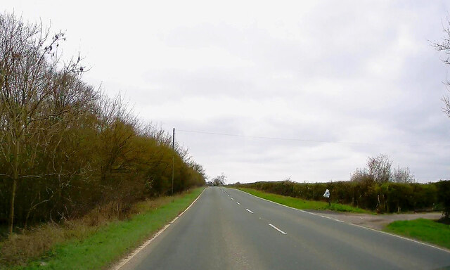
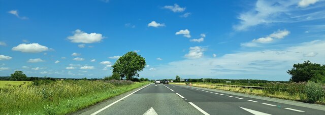
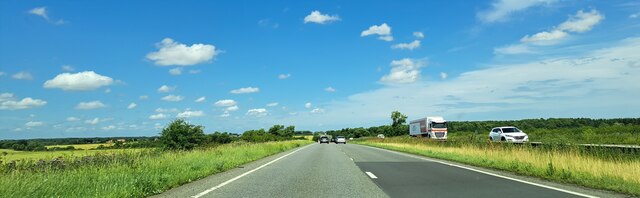
Colsterworth is a civil parish located in the county of Lincolnshire, England. Situated approximately 12 miles south of Grantham, it is nestled within the idyllic countryside of the East Midlands. The village lies just off the A1 road, making it easily accessible for both residents and visitors.

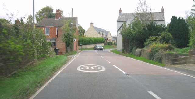
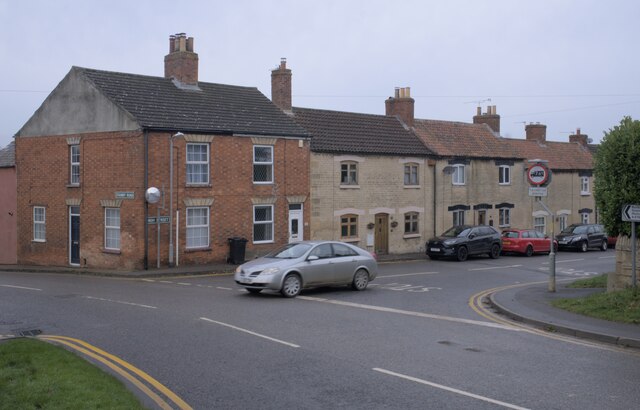
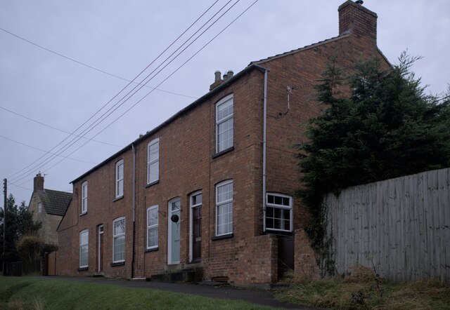
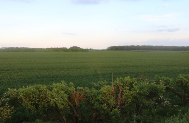
With a population of around 1,700 people, Colsterworth boasts a close-knit community that offers a peaceful and friendly atmosphere. The parish comprises a mix of residential areas, agricultural land, and green spaces, giving it a balanced rural character.

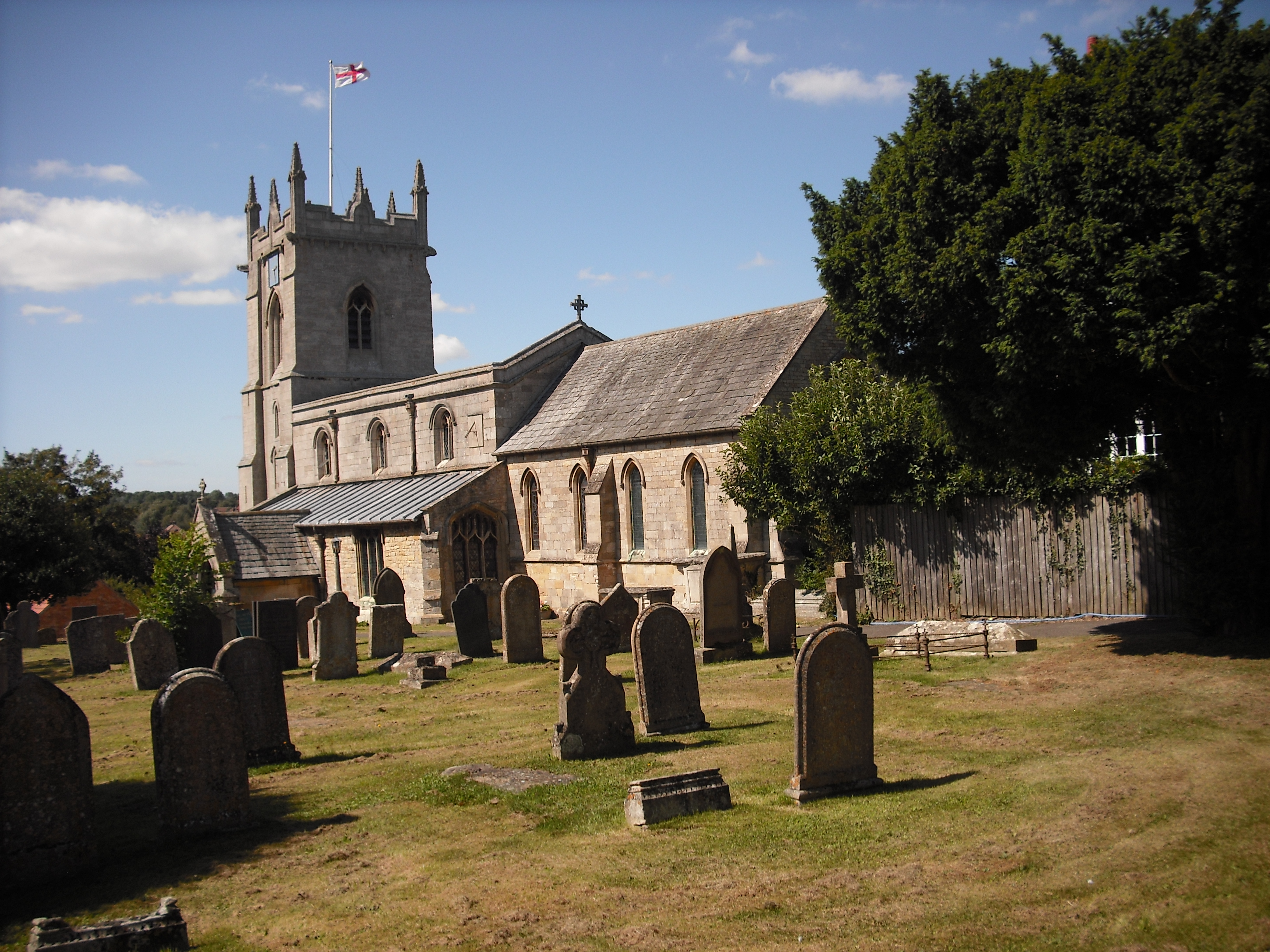
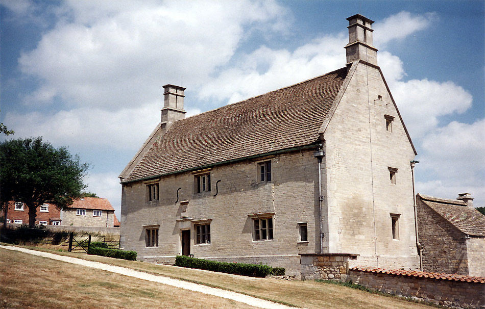
Colsterworth is home to several notable landmarks and historical sites. One such landmark is the birthplace of Sir Isaac Newton, the renowned physicist and mathematician. Newton was born in the village in 1642, and his childhood home, Woolsthorpe Manor, is now a popular tourist attraction.

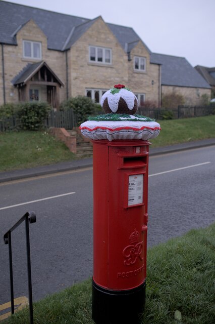
The village itself features a range of amenities and services, including a primary school, a post office, a village hall, and a few local shops and pubs. The nearby town of Grantham offers additional facilities and entertainment options, including shopping centers, restaurants, and leisure activities.

For nature enthusiasts, Colsterworth and its surrounding area provide ample opportunities for outdoor pursuits. The village is surrounded by beautiful countryside, with plenty of walking and cycling trails to explore. The nearby Easton Walled Gardens and Belton House are also popular destinations for those seeking tranquility and natural beauty.

Overall, Colsterworth offers a charming rural setting, rich in history and natural appeal, making it an attractive place to live or visit for those seeking a peaceful escape in Lincolnshire.

If you have any feedback on the listing, please let us know in the comments section below.

Colsterworth Images

Images are sourced within 2km of 52.797159/-0.595882 or Grid Reference SK9423. Thanks to Geograph Open Source API. All images are credited.

Path in Twyford Wood
A151 near Pasture Lodge Towards the A1.
A151 near Pasture Lodge
Towards the A1.
B676 eastbound
B676 eastbound
B676 eastbound
B676 eastbound
B676 eastbound
B676 eastbound
Colsterworth crossroads The end of the A151 from Spalding - here it turns into the B676.  It is crossed by the ancient route of the Great North Road, bypassed as the A1 in the 1920s.
Colsterworth crossroads
The end of the A151 from Spalding - here it turns into the B676. It is crossed by the ancient route of the Great North Road, bypassed as the A1 in the 1920s.
Above the road The gradient of the hill through Colsterworth was eased in the 1930s, leaving the pavement here well above the road surface.
Above the road
The gradient of the hill through Colsterworth was eased in the 1930s, leaving the pavement here well above the road surface.
Yarn Bombing in Colsterworth A christmas-themed hat for the pillar box in Colsterworth
Yarn Bombing in Colsterworth
A christmas-themed hat for the pillar box in Colsterworth
The show must go on Light vehicle from Uncle Sam's Great American Circus, which is just starting out on the summer season from winter quarters on Gonerby Moor.  The vehicle is full of A-boards and other portable signage.
The show must go on
Light vehicle from Uncle Sam's Great American Circus, which is just starting out on the summer season from winter quarters on Gonerby Moor. The vehicle is full of A-boards and other portable signage.
Crowned again Letter boxes already bear the crown, for they were erected when the Royal Mail was truly Royal.  To celebrate the Platinum Jubilee this one has been capped with another crown, modelled on the St Edward's Crown used in the coronation in 1953.
Crowned again
Letter boxes already bear the crown, for they were erected when the Royal Mail was truly Royal. To celebrate the Platinum Jubilee this one has been capped with another crown, modelled on the St Edward's Crown used in the coronation in 1953.
Decorated Pillar Box Crowned, as it were, with a crocheted cap for the Jubilee.

See also <a href="https://www.geograph.org.uk/photo/7166160">SK9323 : Crowned again</a>.
Decorated Pillar Box
Crowned, as it were, with a crocheted cap for the Jubilee. See also SK9323 : Crowned again.
A1 Junction Where once the Colsterworth roundabout slowed the traffic on the A1 there is now a grade separated junction.   The road in the foreground is the A151 and its sliproad off for Southbound traffic on the A1.
A1 Junction
Where once the Colsterworth roundabout slowed the traffic on the A1 there is now a grade separated junction. The road in the foreground is the A151 and its sliproad off for Southbound traffic on the A1.
Great North Road, Colsterworth At the A151 turnoff
Great North Road, Colsterworth
At the A151 turnoff
Fields and antenna by Great North Road, North Witham
Layby on Great North Road, North Witham
Field by Great North Road, North Witham
A1 northbound at North Witham: turn-off to Honeypot Lane The A1 is the longest numbered road in the UK at 410 miles long. It connects London with Edinburgh, via the east of England. 
For much of its path it follows the Great North Road the old coaching route between London and Edinburgh. Several sections of the route are classified as motorway A1(M). The modern A1 bypasses the towns the Great North Road passed through and is dual carriageway for most of its route through England.
A1 northbound at North Witham: turn-off to Honeypot Lane
The A1 is the longest numbered road in the UK at 410 miles long. It connects London with Edinburgh, via the east of England. For much of its path it follows the Great North Road the old coaching route between London and Edinburgh. Several sections of the route are classified as motorway A1(M). The modern A1 bypasses the towns the Great North Road passed through and is dual carriageway for most of its route through England.
A1 northbound at North Witham
Show me another place!

Colsterworth is located at Grid Ref: SK9423 (Lat: 52.797159, Lng: -0.595882)

Administrative County: Lincolnshire

District: South Kesteven

Police Authority: Lincolnshire

What 3 Words

///extension.touched.blast. Near Colsterworth, Lincolnshire

Nearby Locations

Twyford Wood Colsterworth

Related Wikis

Twyford Wood

Twyford Wood, formerly known as Twyford Forest, is a commercial wood around grid reference SK948230 in Lincolnshire owned by the Forestry Commission, England...
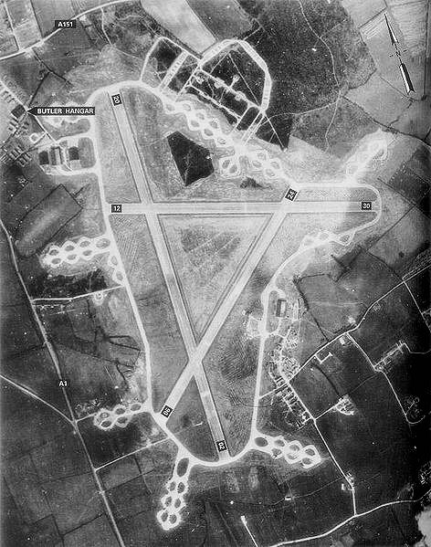
RAF North Witham

Royal Air Force North Witham or more simply RAF North Witham is a former Royal Air Force station located in Twyford Wood, off the A1 between Stamford and...

Colsterworth

Colsterworth is a village and civil parish in the South Kesteven district of Lincolnshire, England, less than half a mile (0.8 km) west of the A1, about...

North Witham

North Witham is a small village and nominally a civil parish in South Kesteven, Lincolnshire, England. The village is located along the upper course of...

Woolsthorpe-by-Colsterworth

Woolsthorpe-by-Colsterworth (to distinguish it from Woolsthorpe-by-Belvoir in the same county) is a hamlet in the South Kesteven district of Lincolnshire...

Woolsthorpe Manor

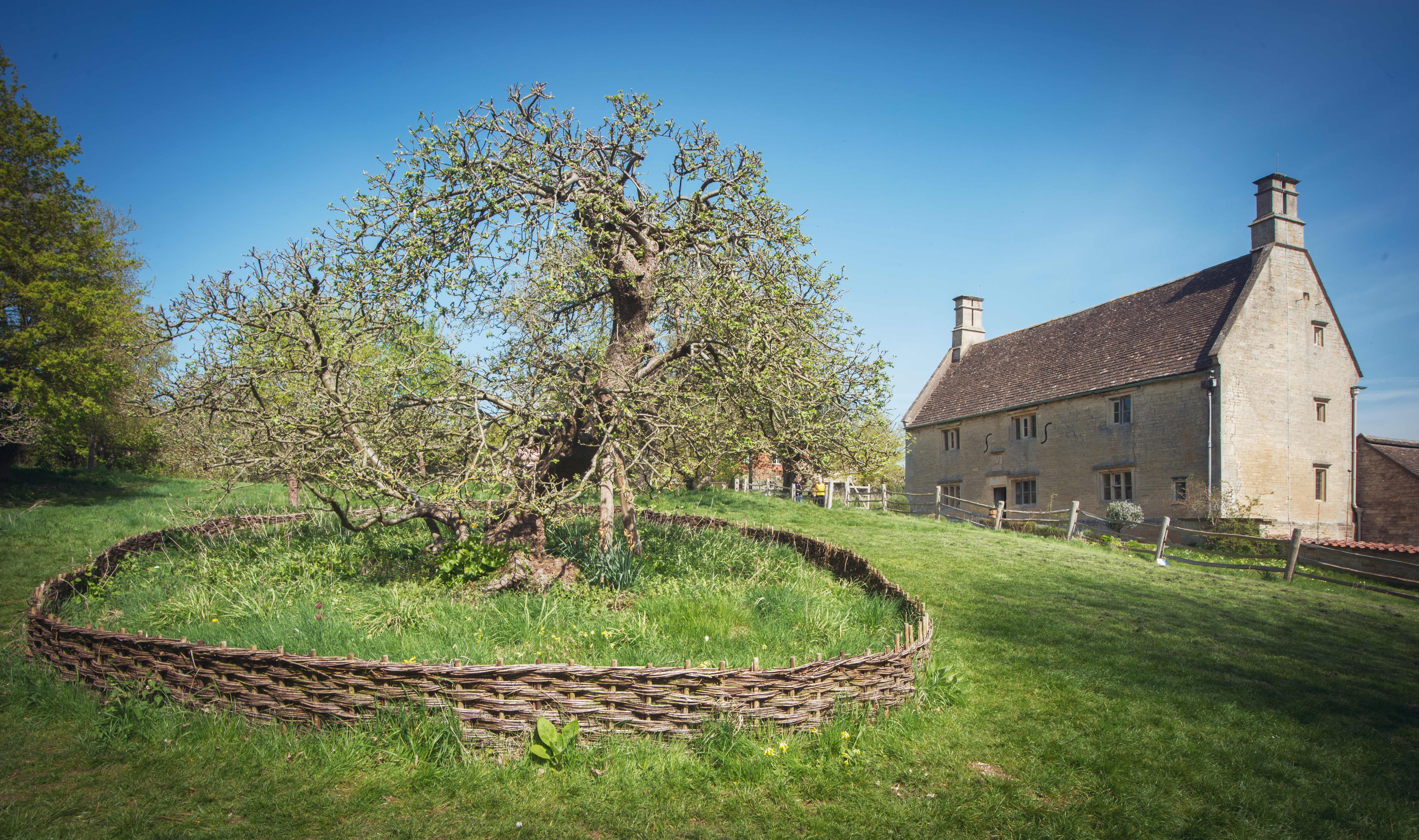
Woolsthorpe Manor in Woolsthorpe-by-Colsterworth, near Grantham, Lincolnshire, England, is the birthplace and was the family home of Sir Isaac Newton....

Isaac Newton's apple tree

Isaac Newton's apple tree at Woolsthorpe Manor represents the inspiration behind Sir Isaac Newton's theory of gravity. While the precise details of the...

Witham Preceptory

Withham Preceptory, one of the smallest Knights Templar preceptories in England, was founded, before 1164, at Temple Hill, near South Witham, Lincolnshire...

Nearby Amenities

Located within 500m of 52.797159,-0.595882
Ele: 107.5523682
Lat/Long: 52.7986/-0.5958654
Ele: 108.2734375
Lat/Long: 52.7978443/-0.5955274
Ele: 108.2734375
Lat/Long: 52.7979396/-0.5955171
Ele: 108.2734375
Lat/Long: 52.7982898/-0.5954839
Ele: 106.1103516
Lat/Long: 52.796545/-0.5929762
Ele: 106.5910645
Lat/Long: 52.7963968/-0.5932628
Ele: 106.5910645
Lat/Long: 52.7965784/-0.5934635
Ele: 106.3507080
Lat/Long: 52.7962317/-0.5931121
Ele: 107.0716553
Lat/Long: 52.80049/-0.5980704
Ele: 106.1103516
Lat/Long: 52.794191/-0.5907437
Ele: 105.1490479
Lat/Long: 52.7952462/-0.5918758
Ele: 106.3507080
Lat/Long: 52.7954065/-0.5921296
Ele: 105.3894043
Lat/Long: 52.7939822/-0.5906706
Ele: 104.6684570
Lat/Long: 52.7935636/-0.5915623
Ele: 105.3894043
Lat/Long: 52.7935906/-0.5916466
Ele: 105.3894043
Lat/Long: 52.7940397/-0.5907663
Ele: 104.9086914
Lat/Long: 52.7930929/-0.593497
Ele: 105.3894043
Lat/Long: 52.7934072/-0.5928469
Ele: 111.1573486
Lat/Long: 52.7952723/-0.6010395
Ele: 111.1573486
Lat/Long: 52.7952072/-0.6003558
Ele: 105.63
Lat/Long: 52.7936762/-0.5920888
Ele: 104.9086914
Lat/Long: 52.7933929/-0.5919483
Ele: 110.9169922
Lat/Long: 52.800317/-0.5935375
Ele: 110.6766357
Lat/Long: 52.8002481/-0.5939021
Ele: 111.8782959
Lat/Long: 52.8005557/-0.5939342
Ele: 108.5137939
Lat/Long: 52.7993097/-0.5897278
Ele: 113.5606689
Lat/Long: 52.8008042/-0.599808
Ele: 114.0412598
Lat/Long: 52.8008562/-0.5999016
Ele: 113.3203125
Lat/Long: 52.8007348/-0.6002815
Ele: 113.0799561
Lat/Long: 52.7996544/-0.6000737
Ele: 113.3203125
Lat/Long: 52.8014022/-0.5969221
Ele: 113.0799561
Lat/Long: 52.8009936/-0.5943687
Ele: 108.9943848
Lat/Long: 52.8005525/-0.592239
The data included in this document is from www.openstreetmap.org. The data is made available under ODbL.

Have you been to Colsterworth?

Leave your review of Colsterworth below (or comments, questions and feedback).