Cold Brayfield

Civil Parish in Buckinghamshire

England

Cold Brayfield

Turvey from the air By a bend in the Great Ouse.
Turvey from the air Credit: Thomas Nugent

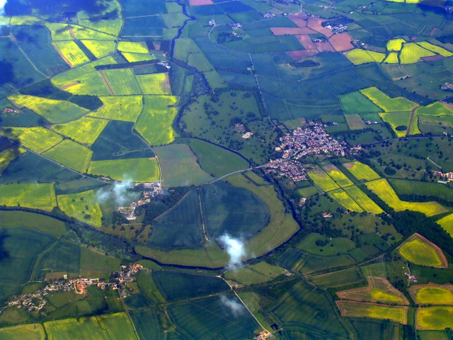
Cold Brayfield is a civil parish nestled in the heart of Buckinghamshire, England. It is located about 5 miles southeast of Newport Pagnell and approximately 8 miles north of Milton Keynes. The parish covers an area of around 2.5 square miles and is situated along the picturesque River Great Ouse.

The village of Cold Brayfield itself is a small and charming settlement, with a population of around 100 residents. It boasts a tranquil and idyllic atmosphere, surrounded by lush green fields and rolling hills. The parish is predominantly rural, with a few scattered cottages and houses dotting the landscape.

The centerpiece of Cold Brayfield is the historic St. Mary's Church, which dates back to the 12th century. The church features stunning architecture and is known for its beautiful stained glass windows and ornate interior. It serves as a place of worship for the local community and also attracts visitors interested in its historical significance.

In addition to its natural beauty and historical landmarks, Cold Brayfield offers access to outdoor activities. The River Great Ouse runs through the parish, providing opportunities for boating, fishing, and riverside walks. The surrounding countryside also offers scenic trails for hiking and cycling enthusiasts.

Overall, Cold Brayfield is a charming and picturesque civil parish in Buckinghamshire, offering a peaceful and rural lifestyle for its residents and a quaint destination for visitors seeking a taste of English countryside living.

If you have any feedback on the listing, please let us know in the comments section below.

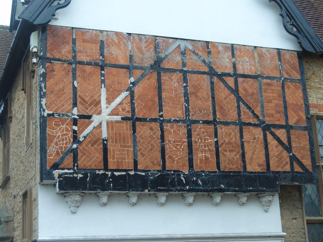
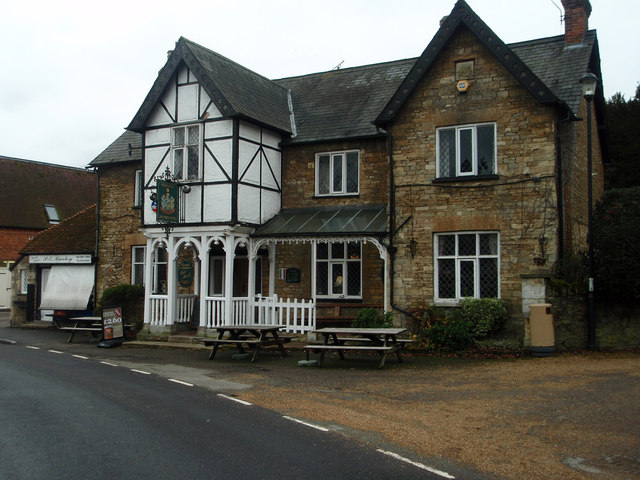
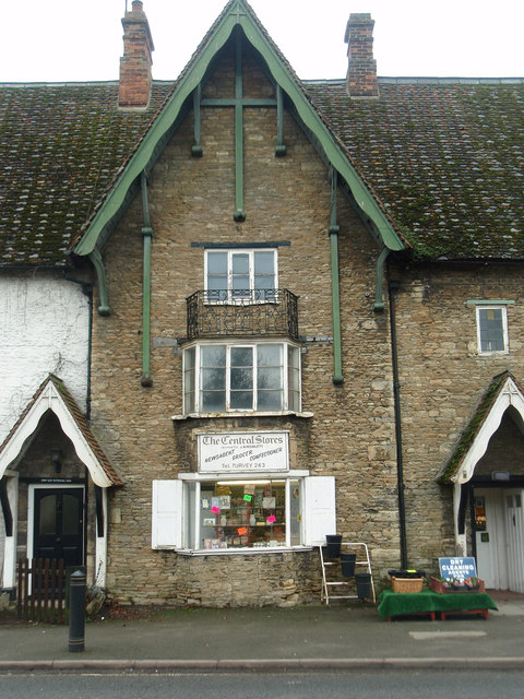
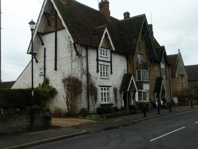
Cold Brayfield Images

Images are sourced within 2km of 52.163333/-0.642793 or Grid Reference SP9252. Thanks to Geograph Open Source API. All images are credited.

Turvey from the air By a bend in the Great Ouse.
Turvey from the air
By a bend in the Great Ouse.
Gable wall on the old vicarage Probably just the builder showing off his skills in a house that many people would see and visit in such a prominent location.
Gable wall on the old vicarage
Probably just the builder showing off his skills in a house that many people would see and visit in such a prominent location.
The Three Cranes A Greene King pub, where a pint of Robert Burns ale from the Belhaven brewery was well presented.
The Three Cranes
A Greene King pub, where a pint of Robert Burns ale from the Belhaven brewery was well presented.
Benchmark on the butcher's shop Located on the left-hand wall on the butcher's shop which is next door to the Three Cranes public house. <a href="https://www.geograph.org.uk/photo/2780336">SP9452 : The Three Cranes</a>
Benchmark on the butcher's shop
Located on the left-hand wall on the butcher's shop which is next door to the Three Cranes public house. SP9452 : The Three Cranes
Village shop A village shop with a bit of character.
Village shop
A village shop with a bit of character.
Village Shop,Turvey Shop premises with character.
Village Shop,Turvey
Shop premises with character.
Part of the route of the Bedford Northampton line
Pylon in the field
Pylon in the field
Ouse Valley Way leaving Newton Blossomville
Cottages in Newton Blossomville
Garden door onto the high street
Public footpath to Lavendon
Hedgerow running down to the Great Ouse
Gate on to Uphoe Manor pasture
The drive to Castle Farm
Footpath to Lavendon
Path along the field edge
Path and postbox on the Olney Road
Show me another place!

Cold Brayfield is located at Grid Ref: SP9252 (Lat: 52.163333, Lng: -0.642793)

Unitary Authority: Milton Keynes

Police Authority: Thames Valley

What 3 Words

///jazzy.imparting.snow. Near Lavendon, Buckinghamshire

Nearby Locations

Cold Brayfield

Related Wikis

Cold Brayfield

Cold Brayfield is a village and civil parish in the unitary authority area of the City of Milton Keynes, Buckinghamshire, England. It is about 3 miles...

Turvey House and Gardens

Turvey House and Gardens are a country house, gardens and parkland, situated by the village of Turvey in Bedfordshire, England. The gardens and parkland...

Newton Blossomville

Newton Blossomville is a village in the unitary authority area of the City of Milton Keynes, Buckinghamshire, England. It is a civil parish, sharing a...

Turvey, Bedfordshire

Turvey is a village and civil parish on the River Great Ouse in the Borough of Bedford, Bedfordshire, England, about 7 miles (11 km) west of Bedford town...

Nearby Amenities

Located within 500m of 52.163333,-0.642793
Cold Brayfield
Is In: Buckinghamshire
Place: hamlet
Lat/Long: 52.1618123/-0.6438387
Bus Stop
Brayfield House
Bus: yes
Naptan AtcoCode: 049002089381
Naptan Bearing: NW
Naptan CommonName: Brayfield House
Naptan Indicator: o/s
Naptan Landmark: Brayfield House
Naptan NaptanCode: mltatpj
Naptan Street: Bedford Road A428
Naptan Verified: no
Public Transport: platform
Source: naptan_import
Lat/Long: 52.1607825/-0.6398077
Bus Stop
Bedford Road
Bus: yes
Naptan AtcoCode: 049002089391
Naptan Bearing: W
Naptan CommonName: Bedford Road
Naptan Indicator: North East
Naptan Landmark: N
Naptan NaptanCode: mltaga
Naptan Street: Bedford Road A428
Naptan Verified: no
Public Transport: platform
Source: naptan_import
Lat/Long: 52.1629947/-0.6460856
Bus Stop
Brayfield House
Bus: yes
Naptan AtcoCode: 049002089881
Naptan Bearing: E
Naptan CommonName: Brayfield House
Naptan Indicator: opp
Naptan Landmark: Brayfield House
Naptan NaptanCode: mltatpm
Naptan Street: Bedford Road A428
Naptan Verified: no
Public Transport: platform
Source: naptan_import
Lat/Long: 52.16092/-0.6400374
Bus Stop
Bedford Road
Bus: yes
Naptan AtcoCode: 049002089891
Naptan Bearing: SE
Naptan CommonName: Bedford Road
Naptan Indicator: South West
Naptan Landmark: N
Naptan NaptanCode: mltatpt
Naptan Street: Bedford Road A428
Naptan Verified: no
Public Transport: platform
Source: naptan_import
Lat/Long: 52.162864/-0.6456656
Parking
Lat/Long: 52.1654823/-0.6491762
Post Box
Brand: Royal Mail
Brand Wikidata: Q638098
Brand Wikipedia: en:Royal Mail
Collection Times: Mo-Fr 16:00; Sa 08:00
Operator: Royal Mail
Operator Wikidata: Q638098
Post Box Type: lamp
Ref: MK46 404
Royal Cypher: EIIR
Royal Cypher Wikidata: Q33102113
Source: survey
Survey Date: 2015-10-17
Lat/Long: 52.1609647/-0.6412191
Bench
Backrest: yes
Lat/Long: 52.16079/-0.6424757
The data included in this document is from www.openstreetmap.org. The data is made available under ODbL.

Have you been to Cold Brayfield?

Leave your review of Cold Brayfield below (or comments, questions and feedback).