Clopton
Civil Parish in Suffolk East Suffolk
England
Clopton

Clopton is a civil parish located in the county of Suffolk, England. It is situated in the East Anglian region, approximately 8 miles northeast of the town of Woodbridge. The parish covers an area of around 4 square miles and is home to a small population of residents.
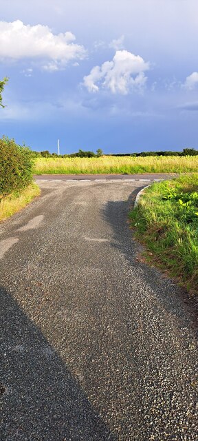
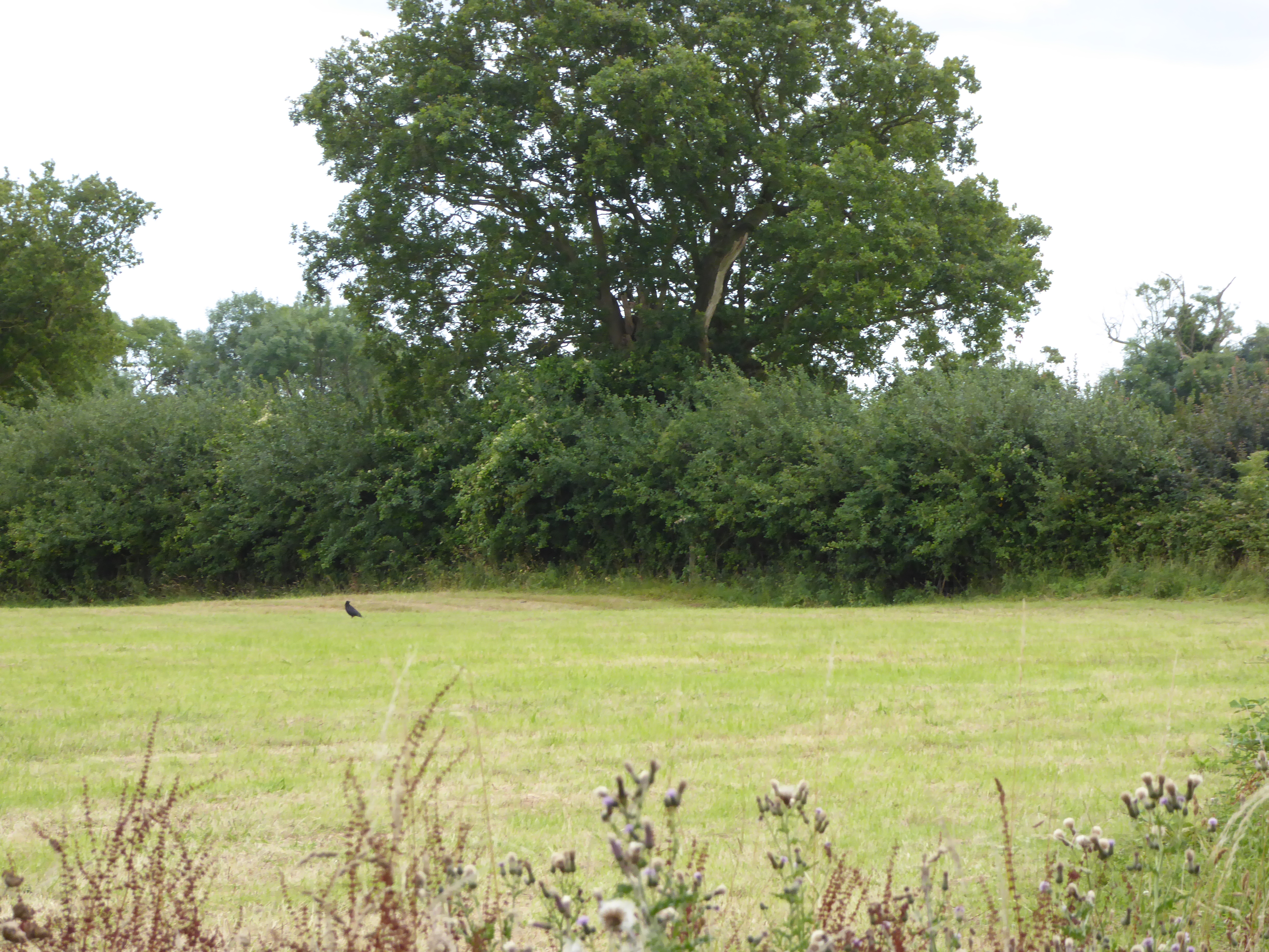
The village of Clopton is characterized by its picturesque rural setting, with rolling countryside, farmland, and scattered woodland surrounding the area. The landscape offers beautiful views and a tranquil atmosphere, making it an attractive destination for nature lovers and those seeking a peaceful retreat.
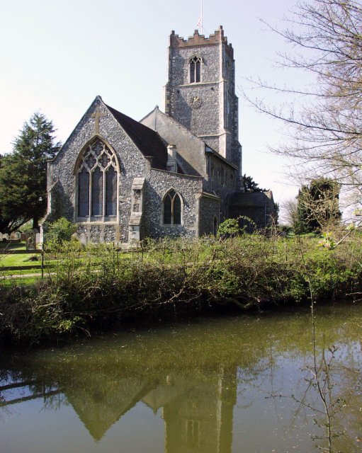
Historically, the village has a rich heritage, with evidence of human activity dating back to the Roman period. The area has seen various influences throughout its history, including the Anglo-Saxons and Normans. Today, remnants of its past can still be seen in the form of historic buildings and landmarks, such as the St. Mary's Church, which dates back to the 12th century.
Despite its small size, Clopton has a close-knit community that actively participates in local events and activities. The parish organizes regular social gatherings and community initiatives, fostering a strong sense of community spirit.
Agriculture plays a significant role in the local economy, with farming being a prominent industry in the area. The fertile land is used for arable farming, livestock rearing, and horticulture.
Overall, Clopton, Suffolk offers a peaceful rural setting, a rich history, and a tight-knit community, making it an idyllic place to live or visit for those seeking a slower pace of life and a connection to nature.
If you have any feedback on the listing, please let us know in the comments section below.
Clopton Images
Images are sourced within 2km of 52.142689/1.248895 or Grid Reference TM2254. Thanks to Geograph Open Source API. All images are credited.


Clopton is located at Grid Ref: TM2254 (Lat: 52.142689, Lng: 1.248895)
Administrative County: Suffolk
District: East Suffolk
Police Authority: Suffolk
What 3 Words
///bundles.gullible.unframed. Near Grundisburgh, Suffolk
Nearby Locations
Related Wikis
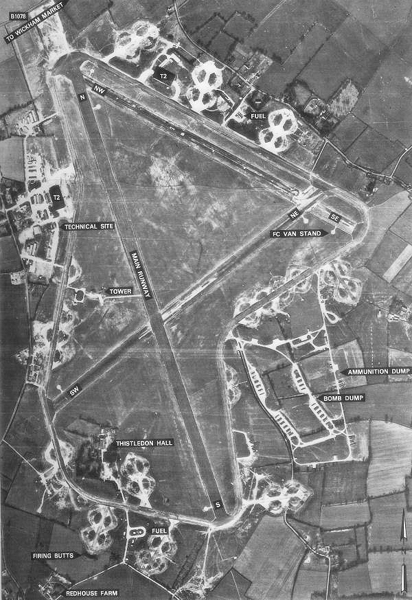
RAF Debach
Royal Air Force Debach or more simply RAF Debach is a former Royal Air Force station located at Debach, 3 miles (4.8 km) northwest of Woodbridge, Suffolk...
Moat Farm Meadows
Moat Farm Meadows is a 3.3-hectare (8.2-acre) biological Site of Special Scientific Interest north-east of Otley in Suffolk.These calcareous meadows are...
Otley, Suffolk
Otley is a village and civil parish in the East Suffolk district, in the English county of Suffolk. It is around 7 miles (11 km) north-east of Ipswich...
Suffolk Rural College
Suffolk Rural College is an English further education college in the village of Otley, Suffolk. The college was founded in 1970 as Otley College of Agriculture...
Nearby Amenities
Located within 500m of 52.142689,1.248895Have you been to Clopton?
Leave your review of Clopton below (or comments, questions and feedback).