Cliffsend
Civil Parish in Kent Thanet
England
Cliffsend

Cliffsend is a small civil parish situated on the east coast of Kent, England. It is located just south of Ramsgate and north of Pegwell Bay. The parish covers an area of around 4 square kilometers and has a population of approximately 1,500 people.
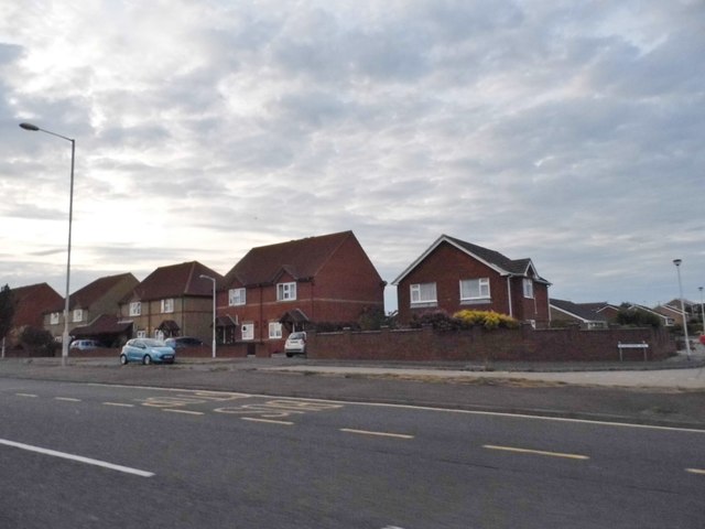
The area is primarily residential, with a mix of housing types including detached houses, semi-detached houses, and some apartment complexes. There are also a few small businesses and shops scattered throughout the parish, mainly serving the local community.
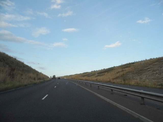
Cliffsend is known for its proximity to the stunning coastline, offering residents and visitors breathtaking views of the English Channel. The area is also home to a popular beach, which attracts tourists during the summer months. The beach is a great spot for sunbathing, picnicking, and taking long walks along the shore.
In addition to its natural beauty, Cliffsend has a rich history. The remains of a Roman fort, known as Richborough Roman Fort, can be found nearby. This historic site is a popular attraction for history enthusiasts and offers insights into the area's Roman past.
For amenities, residents can find a primary school, a church, and a few pubs in the area. The nearby towns of Ramsgate and Margate offer a wider range of amenities including shopping centers, restaurants, and entertainment options.
Overall, Cliffsend is a charming coastal parish that offers a peaceful and picturesque setting for its residents, with easy access to both natural and historical attractions.
If you have any feedback on the listing, please let us know in the comments section below.
Cliffsend Images
Images are sourced within 2km of 51.324241/1.368079 or Grid Reference TR3463. Thanks to Geograph Open Source API. All images are credited.


Cliffsend is located at Grid Ref: TR3463 (Lat: 51.324241, Lng: 1.368079)
Administrative County: Kent
District: Thanet
Police Authority: Kent
What 3 Words
///disband.clockwork.unrated. Near Ramsgate, Kent
Nearby Locations
Related Wikis

Cliffsend
Cliffsend is a village (sometimes written, correctly, as Cliffs End) and civil parish situated almost 2 miles (3 km) west of Ramsgate, Kent, United Kingdom...
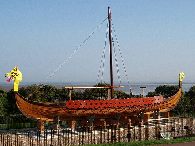
Hugin (longship)
The Hugin is a reconstructed longship located at Pegwell Bay in Kent, England. It was a gift from the Danish government commemorating the 1500th anniversary...
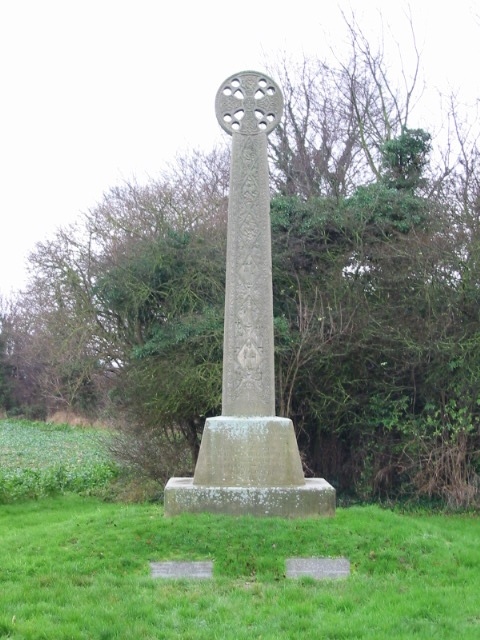
St Augustine's Cross
St Augustine's Cross is a stone memorial in Kent, in a fenced enclosure on the south side of Cottington Road, west of Cliffs End, at Pegwell Bay, Thanet...

Sandwich and Pegwell Bay
Sandwich and Pegwell Bay is a 615-hectare (1,520-acre) nature reserve in Kent, managed by the Kent Wildlife Trust. It is a National Nature Reserve, and...
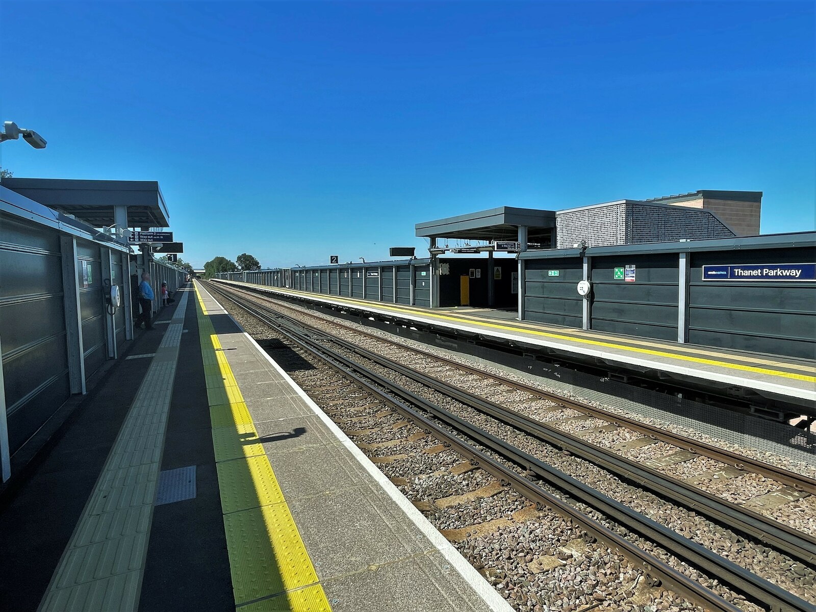
Thanet Parkway railway station
Thanet Parkway railway station is a railway station in Cliffsend, Kent, that serves Discovery Park Enterprise Zone and new housing developments. It opened...

Ebbsfleet and Cliffsend Halt railway station
Ebbsfleet and Cliffsend Halt railway station served the hamlet of Ebbsfleet, Thanet, Kent, England from 1908 to 1933 on the Kent Coast Line. == History... ==

Lord of the Manor, Kent
The Lord of the Manor is a former pub and road junction near Cliffsend on the Isle of Thanet in Kent. Two main roads, the A299 and A256 meet here and connect...
Battle of Wippedesfleot
The Battle of Wippedesfleot was a battle in 466 between the Anglo-Saxons (or Jutes), led by Hengest, and the Britons. It is described in the Anglo-Saxon...
Nearby Amenities
Located within 500m of 51.324241,1.368079Have you been to Cliffsend?
Leave your review of Cliffsend below (or comments, questions and feedback).