Cleasby
Civil Parish in Yorkshire Richmondshire
England
Cleasby

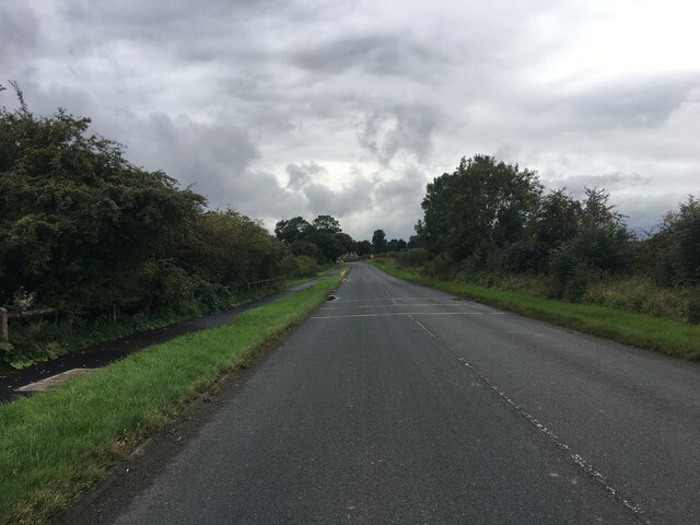
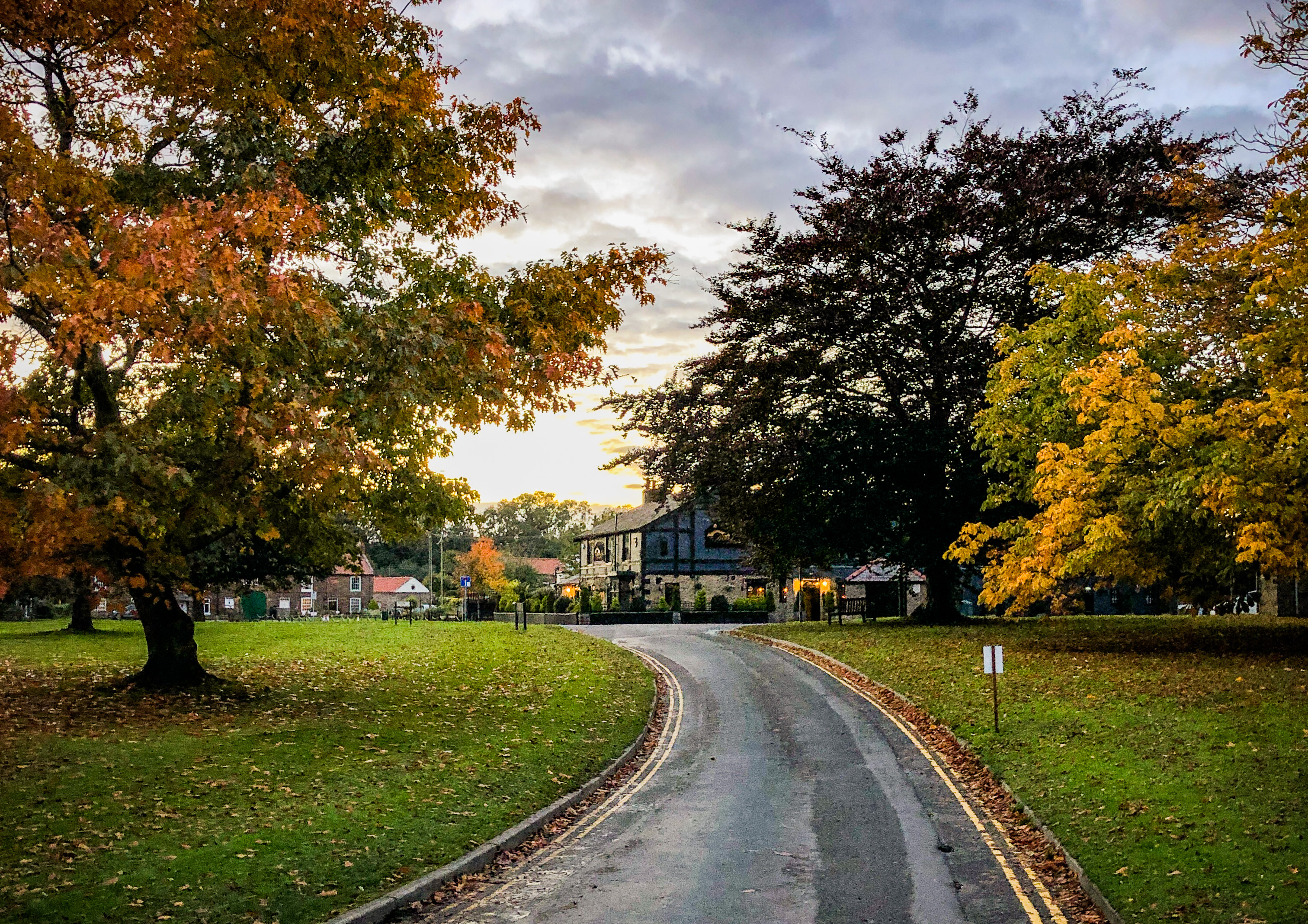
Cleasby is a small civil parish located in the county of Yorkshire, England. Situated just a few miles southwest of the market town of Darlington, Cleasby covers an area of approximately 3 square miles. It is nestled in the picturesque countryside, surrounded by rolling hills and fertile farmland.
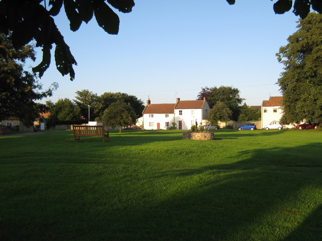
The village of Cleasby itself is a charming and tranquil place, with a population of around 300 residents. It has a rich history dating back to medieval times, and many of its buildings exhibit architectural styles from various periods. St. Peter's Church, a Grade II listed building, is a prominent feature in the village, offering a glimpse into its past.
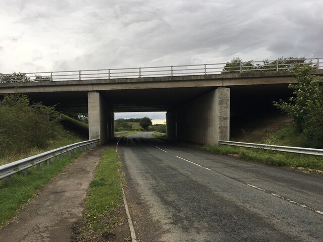
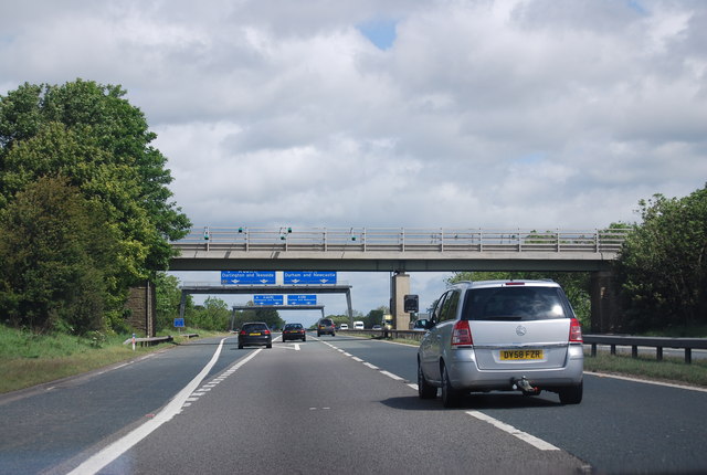
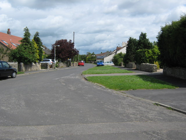
Cleasby is well-connected to the surrounding areas, with good road links to nearby towns and cities. The A1(M) motorway is easily accessible, providing convenient access to locations further afield.
Despite its small size, Cleasby boasts a strong community spirit. The parish has a village hall, where various social events and activities are organized throughout the year. There is also a primary school, providing education to the local children.
The surrounding countryside offers ample opportunities for outdoor activities, with walking and cycling routes crisscrossing the area. The River Tees flows nearby, attracting anglers and nature enthusiasts.
In summary, Cleasby is a peaceful and picturesque civil parish in Yorkshire, offering a close-knit community and a beautiful rural setting.
If you have any feedback on the listing, please let us know in the comments section below.
Cleasby Images
Images are sourced within 2km of 54.504326/-1.611858 or Grid Reference NZ2512. Thanks to Geograph Open Source API. All images are credited.


![Tees Cottage Pumping Station, Darlington [1] The 1852 filter bed and the 1852 engine house. The pumping station was built on the north bank of the River Tees in 1849 to provide clean drinking water to Darlington and other parts of Teesside. It became a museum in 1980. The engine house now houses a gas engine, installed in 1914. Water is pumped up from the River Tees by the gas engine and then filtered through sand in this pond.](https://s1.geograph.org.uk/geophotos/07/58/66/7586633_7e1e2c19.jpg)
![Tees Cottage Pumping Station, Darlington [2] The 1849 filter beds and the 1904 beam engine house. The pumping station was built on the north bank of the River Tees in 1849 to provide clean drinking water to Darlington and other parts of Teesside. It became a museum in 1980. The beam engine pumps up water from river water into the filter beds, where it filters slowly through sand.](https://s3.geograph.org.uk/geophotos/07/58/66/7586643_0857575d.jpg)
![Tees Cottage Pumping Station, Darlington [3] Pumped river water entering both 1849 filter beds. The pumping station was built on the north bank of the River Tees in 1849 to provide clean drinking water to Darlington and other parts of Teesside. It became a museum in 1980.](https://s3.geograph.org.uk/geophotos/07/58/66/7586651_d3de71d9.jpg)
![Stockton and Darlington Model Engineers [1] Based at Tees Cottage pumping station.](https://s1.geograph.org.uk/geophotos/07/58/66/7586657_613142af.jpg)
![Tees Cottage Pumping Station, Darlington [4] The 1852 clear water tank. Filtered water was stored here before being pumped to a service reservoir. The pumping station was built on the north bank of the River Tees in 1849 to provide clean drinking water to Darlington and other parts of Teesside. It became a museum in 1980.](https://s0.geograph.org.uk/geophotos/07/58/66/7586664_8d25414c.jpg)
![Stockton and Darlington Model Engineers [2] Their railway track runs inside the southern boundary of the Tees Cottage pumping station [now a museum].](https://s3.geograph.org.uk/geophotos/07/58/66/7586667_518e7348.jpg)
![Tees Cottage Pumping Station, Darlington [5] The red cylinders outside the 1904 beam engine house were used to help smooth out differences in water pressure. Similar cylinders are outside the 1852 engine house. The pumping station was built on the north bank of the River Tees in 1849 to provide clean drinking water to Darlington and other parts of Teesside. It became a museum in 1980.](https://s3.geograph.org.uk/geophotos/07/58/66/7586671_71ad99de.jpg)
![Stockton and Darlington Model Engineers [3] Four tracks heading east from the western turntable.](https://s2.geograph.org.uk/geophotos/07/58/66/7586674_a6053af3.jpg)
![Broken Scar Pumping and Filtration Works [1] Northumbrian Water&#039;s successor to Tees Cottage pumping station. Seen through a security fence.](https://s0.geograph.org.uk/geophotos/07/58/66/7586680_73337744.jpg)
![Broken Scar Pumping and Filtration Works [2] Northumbrian Water&#039;s successor to Tees Cottage pumping station. Seen through a security fence.](https://s1.geograph.org.uk/geophotos/07/58/66/7586681_4246fcc2.jpg)
Cleasby is located at Grid Ref: NZ2512 (Lat: 54.504326, Lng: -1.611858)
Division: North Riding
Administrative County: North Yorkshire
District: Richmondshire
Police Authority: North Yorkshire
What 3 Words
///spin.palace.starts. Near High Coniscliffe, Co. Durham
Related Wikis
Cleasby
Cleasby is a village and civil parish in the North Yorkshire district of North Yorkshire, England. It is close to the River Tees and Darlington and the...
Stapleton-on-Tees
Stapleton (locally [stepəltən], ˈsteɪpltən), is a small village and civil parish on the River Tees, North Yorkshire, England. Historically, the settlement...
Low Coniscliffe
Low Coniscliffe is a village in the civil parish of Low Coniscliffe and Merrybent, in County Durham, England. The population of the civil parish taken...
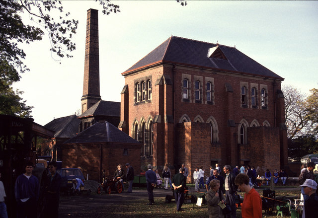
Tees Cottage Pumping Station
Tees Cottage Pumping Station is a Victorian pumping station complex at Broken Scar on the A67 near Low Coniscliffe just west of Darlington. The site dates...
Nearby Amenities
Located within 500m of 54.504326,-1.611858Have you been to Cleasby?
Leave your review of Cleasby below (or comments, questions and feedback).