Claygate
Civil Parish in Surrey Elmbridge
England
Claygate
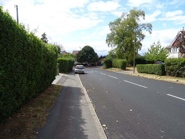
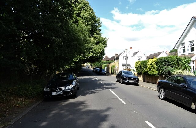
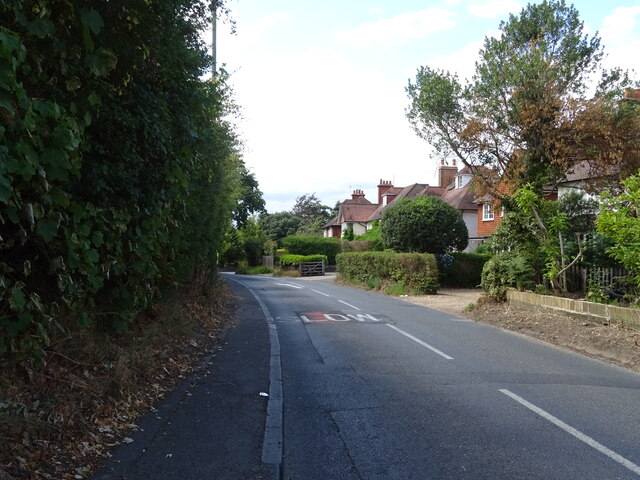
Claygate is a charming civil parish located in the Elmbridge borough of Surrey, England. Situated approximately 15 miles southwest of central London, it is a sought-after residential area renowned for its peaceful ambiance and green surroundings. The village is bordered by the River Mole to the north and is surrounded by lush woodland, making it an idyllic retreat for nature lovers and outdoor enthusiasts.
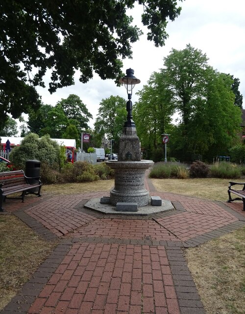
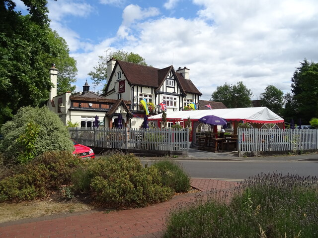
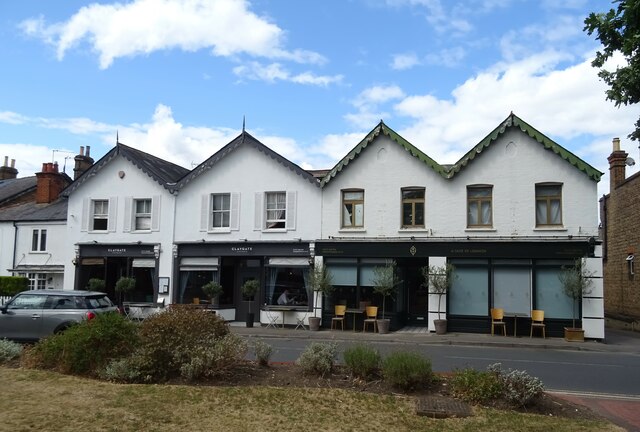
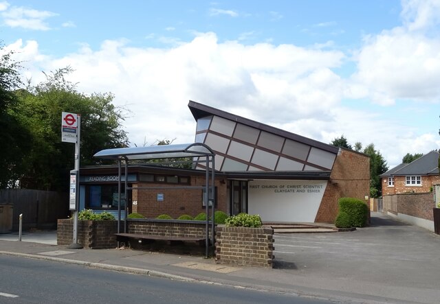
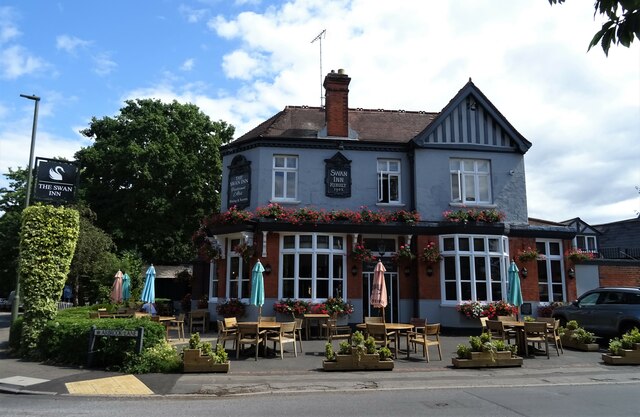
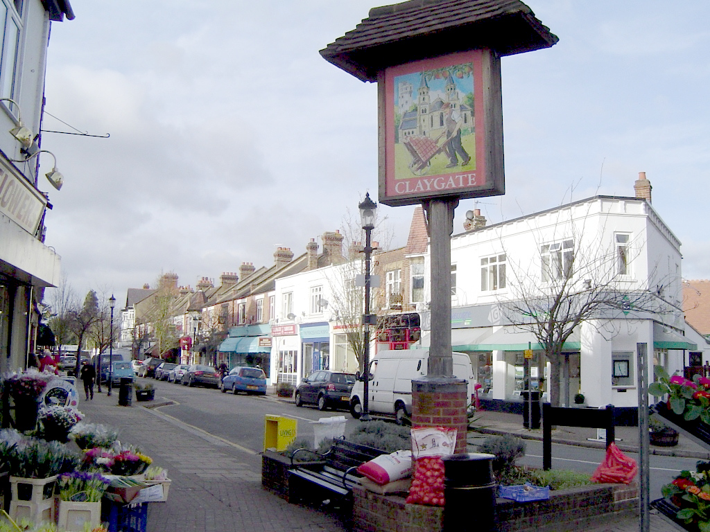
The heart of Claygate is its quaint village center, featuring a variety of local shops, boutiques, cafes, and restaurants. The village maintains a strong sense of community, with regular events such as the Claygate Flower and Village Show, Christmas market, and summer fete, fostering a warm and friendly atmosphere for residents and visitors alike.
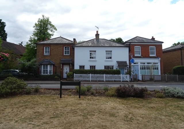
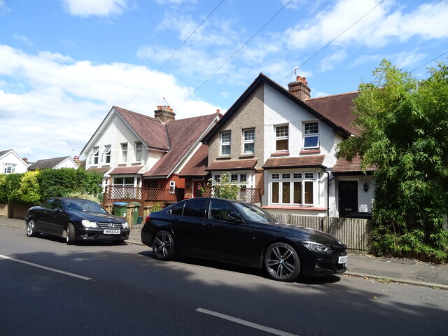
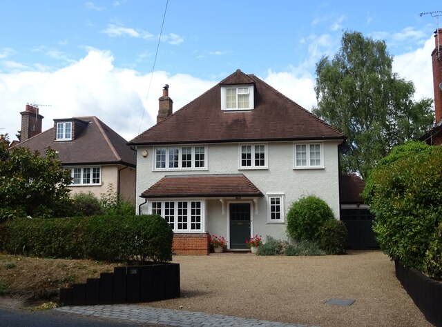
Housing in Claygate is predominantly composed of period properties, ranging from charming cottages to spacious family homes. The village is popular with families due to its excellent schools, including Claygate Primary School and the revered Esher College.
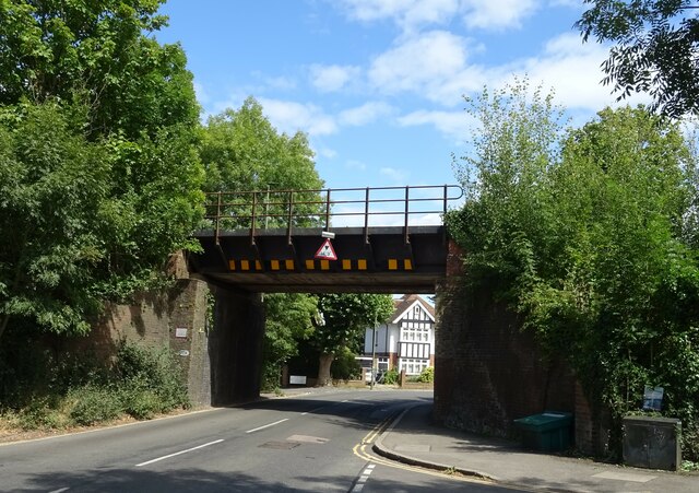
Transport links in Claygate are convenient, with a railway station connecting the village to London Waterloo in approximately 30 minutes. The nearby A3 road provides easy access to the M25 motorway, making Claygate an appealing location for commuters.
Outdoor recreational opportunities abound in Claygate, with numerous parks, playing fields, and nature reserves nearby. Claygate Common, a designated Site of Special Scientific Interest, offers picturesque walking trails and is home to a diverse range of flora and fauna.
Overall, Claygate is a delightful village that seamlessly blends rural charm with urban convenience, making it a highly desirable place to live in the Surrey countryside.
If you have any feedback on the listing, please let us know in the comments section below.
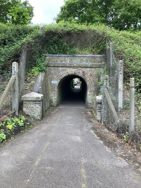
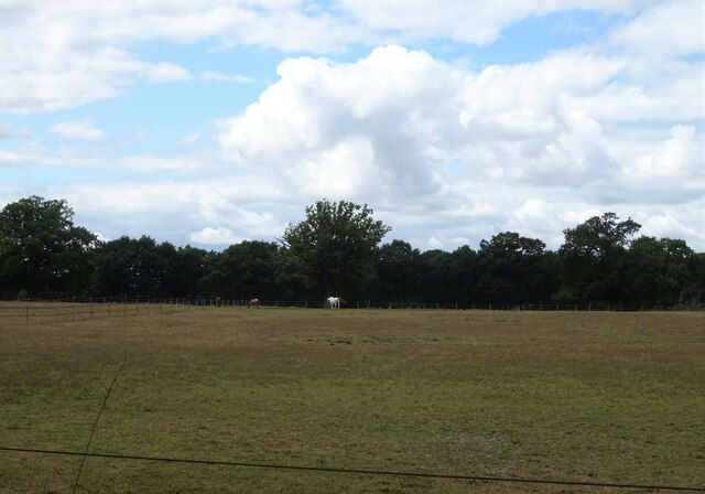
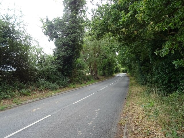
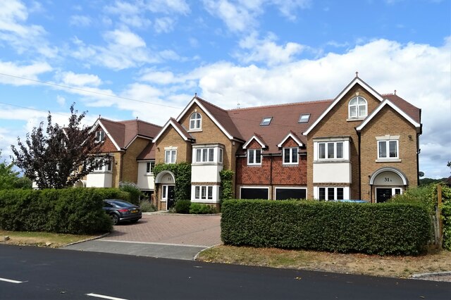
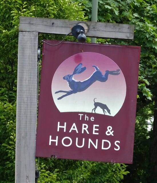
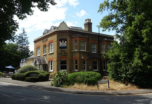
Claygate Images
Images are sourced within 2km of 51.359401/-0.337969 or Grid Reference TQ1563. Thanks to Geograph Open Source API. All images are credited.
Claygate is located at Grid Ref: TQ1563 (Lat: 51.359401, Lng: -0.337969)
Administrative County: Surrey
District: Elmbridge
Police Authority: Surrey
What 3 Words
///books.impose.logic. Near Hinchley Wood, Surrey
Nearby Locations
Related Wikis
Claygate
Claygate is an affluent suburban village in Surrey, England, 14 miles (23 kilometres) southwest of central London. It is the only civil parish in the borough...

Claygate Common
Claygate Common is a 14.1-hectare (35-acre) Local Nature Reserve south-east of Esher in Surrey. It is owned and managed by Elmbridge Borough Council.The...
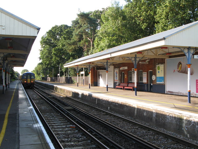
Claygate railway station
Claygate railway station serves the village of Claygate, in Surrey, England. It is on the New Guildford Line from London Waterloo to Guildford. The station...

Barwell, London
Barwell is a small locality in the London Borough of Kingston upon Thames, located between Chessington and Claygate and historically in the county of Surrey...

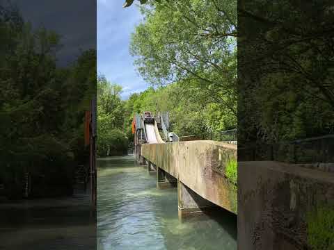
Tiger Rock
Tiger Rock (previously known as Dragon Falls and Dragon River) is a flume ride at the theme park Chessington World of Adventures in Chessington, southwest...
Terror Tomb
Terror Tomb (later renamed Forbidden Tomb) was a dark ride attraction at Chessington World of Adventures in southwest London, England, themed as an adventure...
The 5th Dimension (ride)
The 5th Dimension was a dark ride at the Chessington World of Adventures Resort in southwest London, England, when the theme park opened and was the first...
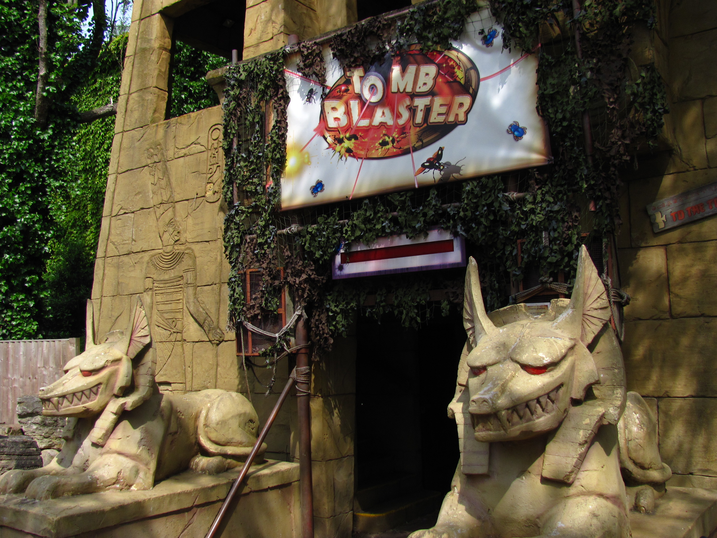
Tomb Blaster
Tomb Blaster is a dark ride that opened in 2002 at Chessington World of Adventures Resort in London. Riders travel in trains through a series of crypts...
Related Videos
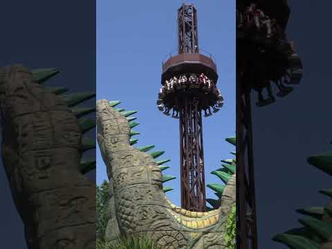
Rain drop, croc drop 😎 #shorts #fyp #themepark #droptower #travel
Chessington World of Adventures.

Nearby Amenities
Located within 500m of 51.359401,-0.337969Have you been to Claygate?
Leave your review of Claygate below (or comments, questions and feedback).