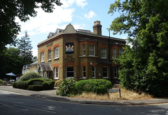
75 Foley Road, Claygate
Heritage Site in Surrey Elmbridge
England
75 Foley Road, Claygate
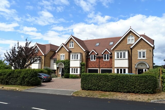
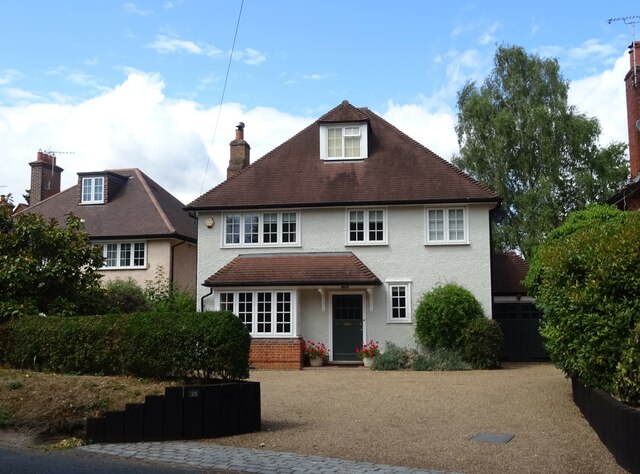
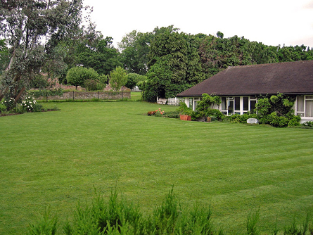
75 Foley Road, Claygate, Surrey is a significant heritage site that holds historical and architectural value. Built in the late 19th century, this Victorian-era property showcases the quintessential characteristics of the period's architecture.
Situated in the picturesque village of Claygate, Surrey, the house stands amidst a well-maintained garden, exuding charm and elegance. Its red-brick exterior, adorned with intricate detailing and decorative elements, reflects the craftsmanship of the era. The property spans two stories and features a pitched roof, typical of Victorian design.
Inside, 75 Foley Road retains many original features, allowing visitors to experience a glimpse of the past. The entrance hall boasts a beautiful mosaic tiled floor, leading to the various rooms on the ground floor. High ceilings, ornate cornices, and panelled doors further accentuate the period's architectural style. The house also includes a grand staircase, complete with a carved wooden banister, serving as a focal point.
The heritage site has undergone careful restoration to preserve its historical integrity. The owners have ensured that the property maintains its original charm while incorporating modern amenities to meet contemporary needs. The interior spaces have been tastefully updated, combining period features with modern finishes.
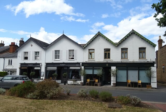
The location of 75 Foley Road adds to its appeal. Claygate is a sought-after village renowned for its scenic beauty and community spirit. The property's historical significance, architectural splendor, and the village's overall appeal make it a cherished heritage site in Surrey.
If you have any feedback on the listing, please let us know in the comments section below.
75 Foley Road, Claygate Images
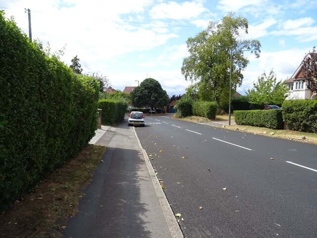
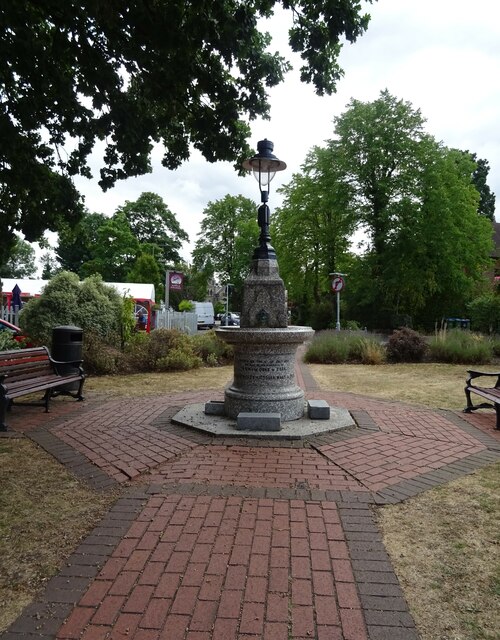
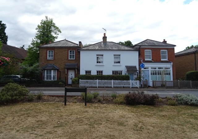
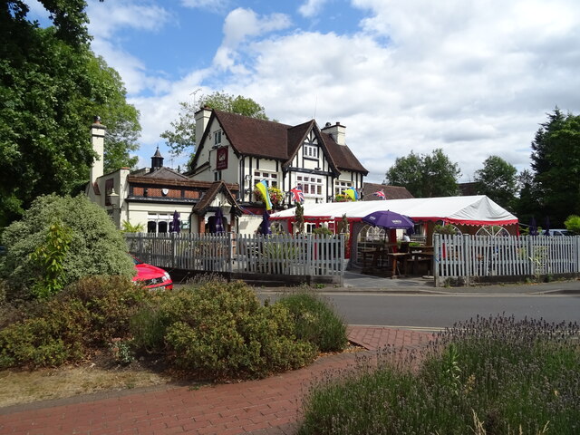
Images are sourced within 2km of 51.359/-0.346 or Grid Reference TQ1563. Thanks to Geograph Open Source API. All images are credited.

75 Foley Road, Claygate is located at Grid Ref: TQ1563 (Lat: 51.359, Lng: -0.346)
Administrative County: Surrey
District: Elmbridge
Police Authority: Surrey
What 3 Words
///lands.lock.canny. Near Hinchley Wood, Surrey
Nearby Locations
Related Wikis
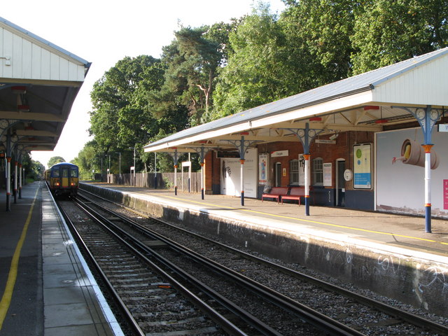
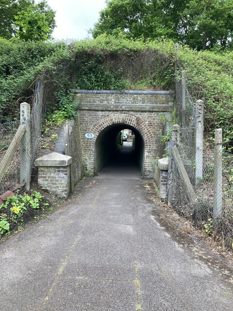
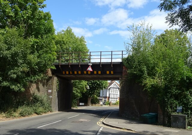
Claygate railway station
Claygate railway station serves the village of Claygate, in Surrey, England. It is on the New Guildford Line from London Waterloo to Guildford. The station...
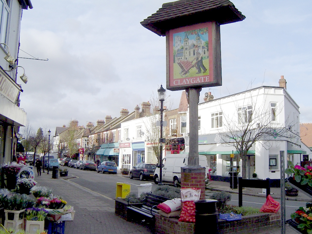
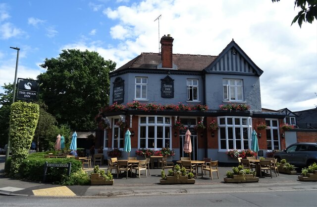
Claygate
Claygate is an affluent suburban village in Surrey, England, 14 miles (23 kilometres) southwest of central London. It is the only civil parish in the borough...

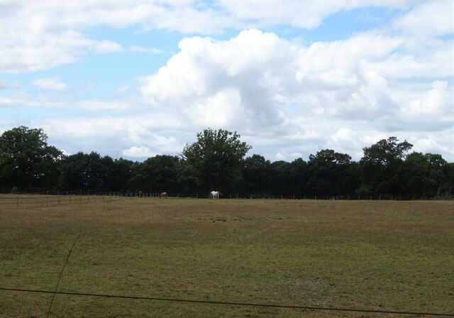
Claygate Common
Claygate Common is a 14.1-hectare (35-acre) Local Nature Reserve south-east of Esher in Surrey. It is owned and managed by Elmbridge Borough Council.The...
Kinfauns
Kinfauns was a large 1950s deluxe bungalow in Esher in the English county of Surrey, on the Claremont Estate. From 1964 to 1970, it was the home of George...

Milbourne Lodge School
Milbourne Lodge School is a co-educational pre-prep and preparatory school for children aged four to thirteen. Located in Esher, Surrey, the school is...

Borough of Elmbridge
Elmbridge is a local government district with borough status in Surrey, England. Its principal towns and villages are Esher, Cobham, Walton-on-Thames,...

St George's Church, Esher
St George's Church, Esher is a Grade I listed Anglican church in Esher, Surrey, England. Built in the 16th century, it was Esher's parish church for 300...
Esher theatre
Esher Theatre is a theatre in Esher which opened on 4 September 2021. It features a 200-seat main theatre with 350 standing, and is owned by Artistic Director...
Nearby Amenities
Located within 500m of 51.359,-0.346Have you been to 75 Foley Road, Claygate?
Leave your review of 75 Foley Road, Claygate below (or comments, questions and feedback).