Clavering
Civil Parish in Essex Uttlesford
England
Clavering

The requested URL returned error: 429 Too Many Requests
If you have any feedback on the listing, please let us know in the comments section below.
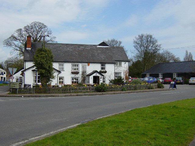
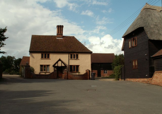
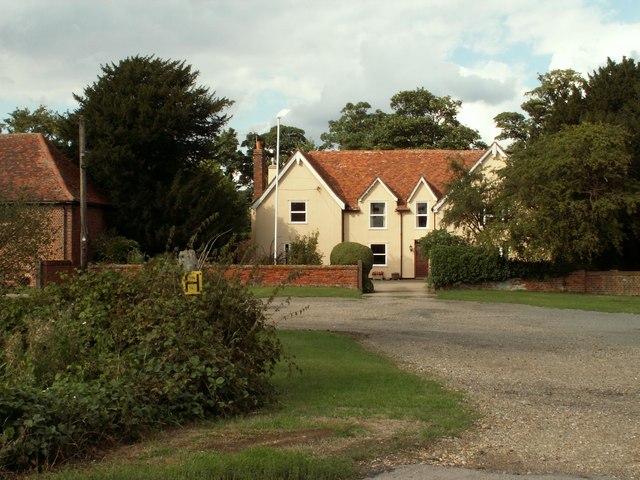
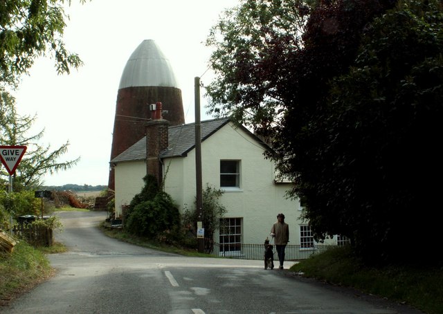
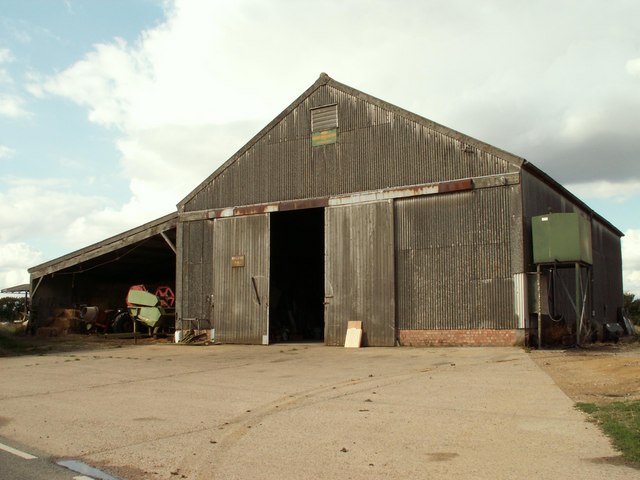
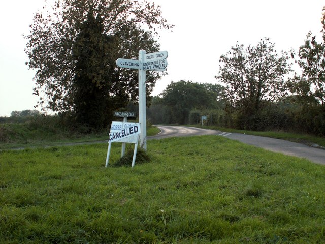
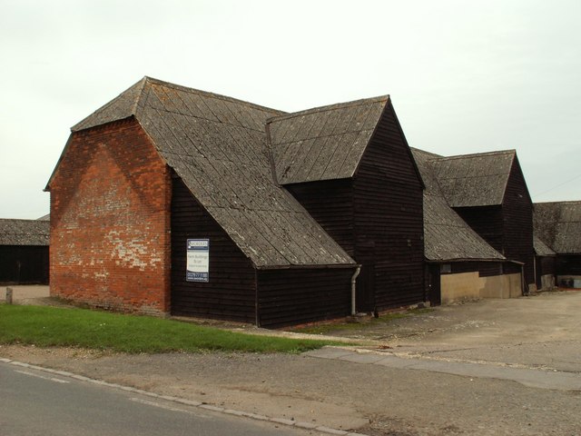
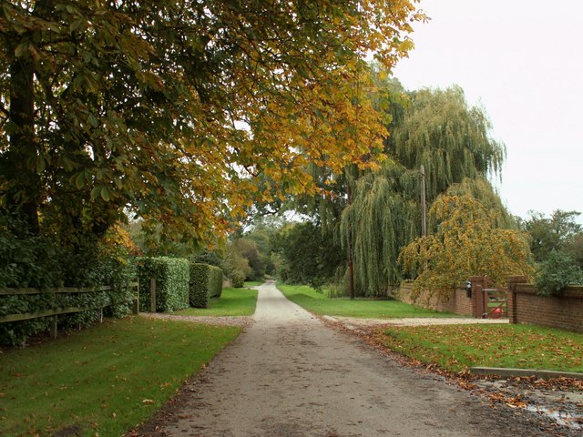
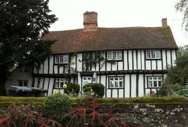
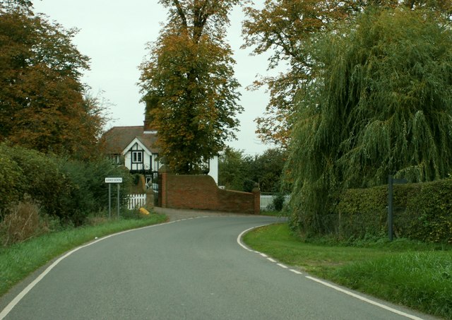
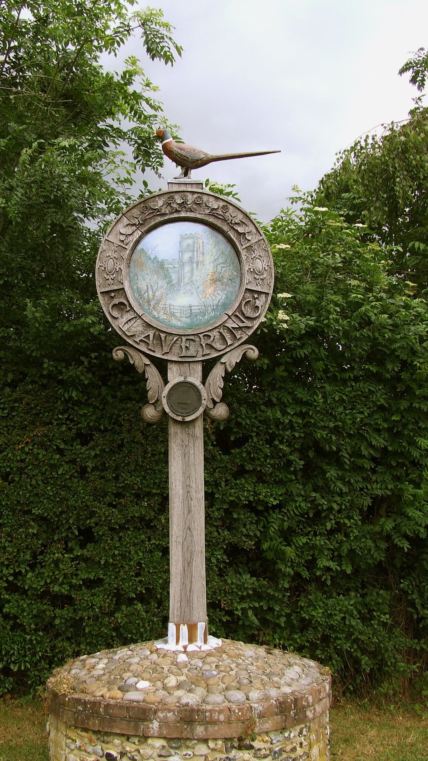
Clavering Images
Images are sourced within 2km of 51.969159/0.137802 or Grid Reference TL4632. Thanks to Geograph Open Source API. All images are credited.


Clavering is located at Grid Ref: TL4632 (Lat: 51.969159, Lng: 0.137802)
Administrative County: Essex
District: Uttlesford
Police Authority: Essex
What 3 Words
///rural.pine.exhale. Near Elsenham, Essex
Nearby Locations
Related Wikis

Clavering Castle
Clavering Castle remains are situated in the small parish village of Clavering in the county of Essex, England, 50m north of the church of St Mary and...

Wicken Bonhunt
Wicken Bonhunt is a village and a civil parish of north-west Essex, in the non-metropolitan district of Uttlesford, England. It is on the B1038 (Buntingford...
Clavering, Essex
Clavering is a village and also a parish in north-west Essex in England. It is about 20 miles (32 km) from Cambridge and 50 miles (80 km) from Southend...

Arkesden
Arkesden is a village and civil parish in the Uttlesford district of Essex, England. The village is 4.3 miles (7 km) south-west from Saffron Walden, approximately...
Nearby Amenities
Located within 500m of 51.969159,0.137802Have you been to Clavering?
Leave your review of Clavering below (or comments, questions and feedback).