Cinderford

Civil Parish in Gloucestershire Forest of Dean

England

Cinderford

The Wysis Way The Wysis Way following a track in Serridge Inclosure.  The Wysis Way is a long distance path connecting Offa's Dyke and the start of the Thames Path.
The Wysis Way Credit: Philip Halling

Cinderford is a civil parish and town located in the Forest of Dean district of Gloucestershire, England. Situated in the heart of the Forest, it is surrounded by beautiful woodland and natural landscapes. The town is situated on the eastern bank of the River Severn and is approximately 17 miles west of Gloucester.

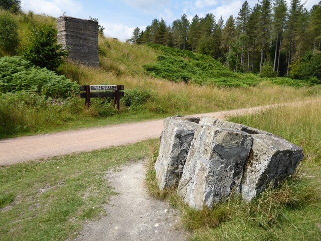
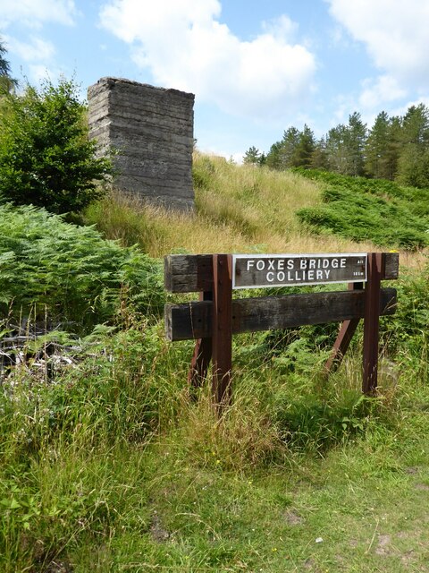
Cinderford has a rich history, with its origins dating back to the 19th century when it became a thriving mining and ironworking town. The local economy was heavily reliant on the coal and iron industries, and the town grew rapidly as a result. However, with the decline of these industries in the mid-20th century, Cinderford faced significant economic challenges.

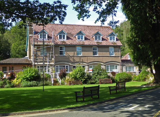
In recent years, the town has undergone regeneration efforts to diversify its economy and revitalize the community. Today, Cinderford is known for its strong sense of community and its commitment to preserving its heritage. The town features a number of historic buildings, including the iconic Clock Tower, which serves as a reminder of its industrial past.

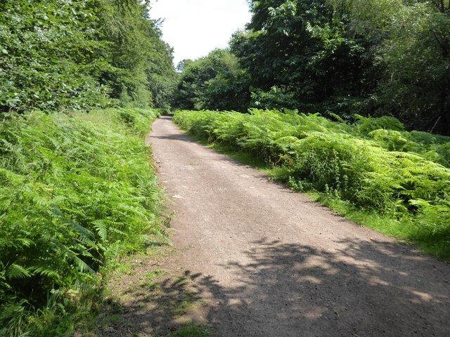
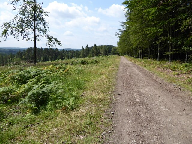
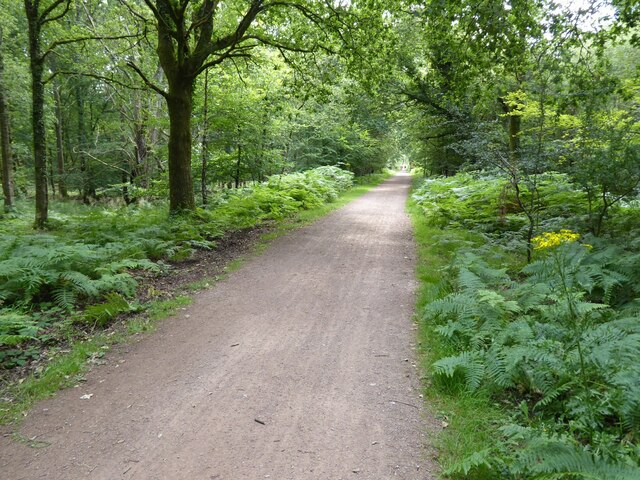
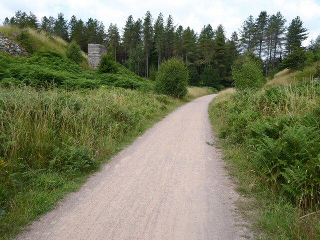
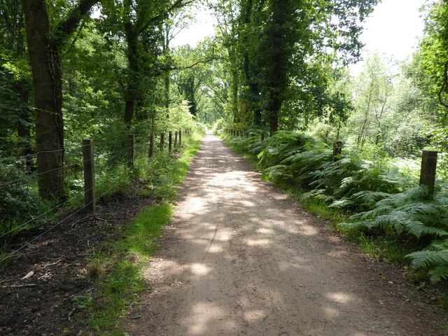
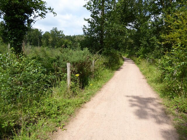
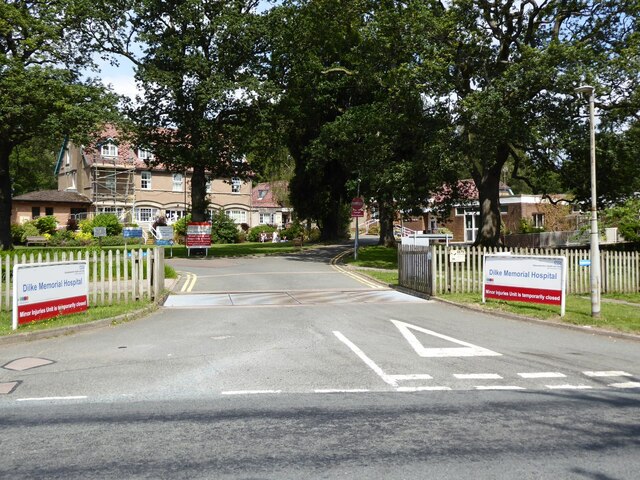
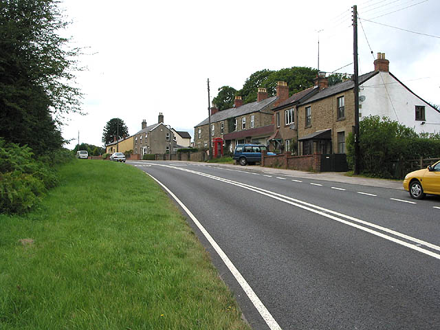
Cinderford offers a range of amenities to its residents and visitors, including shops, pubs, restaurants, and leisure facilities. The area is also popular with outdoor enthusiasts due to its proximity to the Forest of Dean, which offers extensive walking, cycling, and horse riding trails.

Overall, Cinderford is a picturesque town with a rich history and a strong community spirit. It continues to evolve and adapt, embracing its heritage while looking towards the future.

If you have any feedback on the listing, please let us know in the comments section below.

Cinderford Images

Images are sourced within 2km of 51.824562/-2.525992 or Grid Reference SO6314. Thanks to Geograph Open Source API. All images are credited.

The Wysis Way The Wysis Way following a track in Serridge Inclosure.  The Wysis Way is a long distance path connecting Offa's Dyke and the start of the Thames Path.
The Wysis Way
The Wysis Way following a track in Serridge Inclosure. The Wysis Way is a long distance path connecting Offa's Dyke and the start of the Thames Path.
Forest track Forest track near Serridge Green in the Forest of Dean.
Forest track
Forest track near Serridge Green in the Forest of Dean.
Area of clearfell Area of clearfell at Serridge Green.  With the trees felled there are extensive views over the forest.
Area of clearfell
Area of clearfell at Serridge Green. With the trees felled there are extensive views over the forest.
Hicksters Ways bat roost A fabricated bat roost at Hicksters Ways in the Forest of Dean.
Hicksters Ways bat roost
A fabricated bat roost at Hicksters Ways in the Forest of Dean.
Cycleway and former railway Cycleway and former railway trackbed passing through Crabtreehill Plantation in the Forest of Dean.
Cycleway and former railway
Cycleway and former railway trackbed passing through Crabtreehill Plantation in the Forest of Dean.
Site of Foxes Bridge Colliery Former railway track and now a cycleway passing through the site of Foxes Bridge Colliery.  Trees have been felled since I last photographed this site just over seven years ago <a href="https://www.geograph.org.uk/photo/3954592">SO6313 : Foxes Bridge Colliery</a>.
Site of Foxes Bridge Colliery
Former railway track and now a cycleway passing through the site of Foxes Bridge Colliery. Trees have been felled since I last photographed this site just over seven years ago SO6313 : Foxes Bridge Colliery.
Site of Foxes Bridge Colliery The site of Foxes Bridge Colliery viewed from a former railway track and now cycleway.
Site of Foxes Bridge Colliery
The site of Foxes Bridge Colliery viewed from a former railway track and now cycleway.
Site of Foxes Bridge Colliery Former railway track and now a cycleway passing through the site of Foxes Bridge Colliery.
Site of Foxes Bridge Colliery
Former railway track and now a cycleway passing through the site of Foxes Bridge Colliery.
Cycleway passing through Crabtreehill Plantation Cycleway on a former railway trackbed passing through Crabtreehill Plantation.
Cycleway passing through Crabtreehill Plantation
Cycleway on a former railway trackbed passing through Crabtreehill Plantation.
Cycleway near Dilke Hospital Cycleway and former railway trackbed near Dilke Hospital in the Forest of Dean.
Cycleway near Dilke Hospital
Cycleway and former railway trackbed near Dilke Hospital in the Forest of Dean.
Dilke Hospital Dilke Memorial Hospital opened in 1921 and is named after Sir Charles Dilke, 2nd Baronet who was a Liberal MP for the Forest of Dean and died in 1911.
Dilke Hospital
Dilke Memorial Hospital opened in 1921 and is named after Sir Charles Dilke, 2nd Baronet who was a Liberal MP for the Forest of Dean and died in 1911.
Pump bob - Foxes Bridge Colliery near Cinderford This inverted tee bob was undoubtedly associated with a steam pumping engine for draining this colliery and has been retained on site on a specially made concrete pad. Unfortunately it is being reclaimed by nature and is fairly well hidden although there is a well established path to it. It took me a while of hunting to find it from the nearby cycle trail.
Pump bob - Foxes Bridge Colliery near Cinderford
This inverted tee bob was undoubtedly associated with a steam pumping engine for draining this colliery and has been retained on site on a specially made concrete pad. Unfortunately it is being reclaimed by nature and is fairly well hidden although there is a well established path to it. It took me a while of hunting to find it from the nearby cycle trail.
Dilke Memorial Hospital near Cinderford
Trig point near Crabtree Hill, forest of Dean
Entrance to Forest of Dean Crematorium
Remains of Foxes Bridge Colliery near Cinderford Some large lumps of masonry adjoining a cycle trail through the site. There are other interesting foundations and the remains of a pumping bob nearby but they do take a little hunting for.
Remains of Foxes Bridge Colliery near Cinderford
Some large lumps of masonry adjoining a cycle trail through the site. There are other interesting foundations and the remains of a pumping bob nearby but they do take a little hunting for.
Junction of tracks near the site of Foxes Bridge Colliery The crossing track is a family cycle way. The houses in the distance are in Cinderford
Junction of tracks near the site of Foxes Bridge Colliery
The crossing track is a family cycle way. The houses in the distance are in Cinderford
Site of Foxes Bridge Colliery The cycle way passing through behind the large lump of masonry is on the track bed of a former railway serving the colliery. There are quite a few remains in the undergrowth including an inverted tee bob from a pumping engine.
Site of Foxes Bridge Colliery
The cycle way passing through behind the large lump of masonry is on the track bed of a former railway serving the colliery. There are quite a few remains in the undergrowth including an inverted tee bob from a pumping engine.
Show me another place!

Cinderford is located at Grid Ref: SO6314 (Lat: 51.824562, Lng: -2.525992)

Administrative County: Gloucestershire

District: Forest of Dean

Police Authority: Gloucestershire

What 3 Words

///chugging.spoiler.crossing. Near Cinderford, Gloucestershire

Related Wikis

Drybrook Road railway station

Drybrook Road is a closed station on the Cinderford to Coleford direct railway line in the Forest of Dean in Gloucestershire, near the village of Drybrook...

Laymoor Quag

Laymoor Quag (grid reference SO644146) is a 3.5-hectare (8.6-acre) nature reserve within the Forest of Dean in Gloucestershire. The site is listed in the...

Bilson Halt railway station

Bilson Halt railway station is a disused railway station opened on the former Bullo Pill Railway, later known as the Great Western Railway Forest of Dean...

Cinderford New railway station

Cinderford New railway station was a disused railway station that was opened by the former Severn and Wye Railway to serve the mining town of Cinderford...

Whimsey Halt railway station

Whimsey Halt railway station served the town of Cinderford, Gloucestershire, England, from 1907 to 1930 on the Mitcheldean Road and Forest of Dean Junction...

Woorgreens Lake and Marsh

Woorgreens Lake and Marsh (grid reference SO630127) is a 9-hectare (22-acre) nature reserve in Gloucestershire.The site is owned by the Forestry Commission...

Cinderford Canal

The Cinderford Canal was a private canal, opened in about 1797, in Gloucestershire, England, which was used to provide coke and water to Cinderford Ironworks...

Brierley, Gloucestershire

Brierley is a village in the Forest of Dean, Gloucestershire, United Kingdom. It has one petrol station and a shop, both of which are both operated by...

Related Videos

The Great berry quarry walk

walking talking vlog, taking a day out to get some exercise join me on this fantastic journey ...

THE KINGS HEALTHY WALK #PEACEONELOVE

JOIN US ON THIS HEALTHY WALK AROUND THE STEAM MILLS LAKE CINDERFORD. PEACE ONE LOVE PEEPS ENJOY THE ...

Two Hours in Cinderford

Cinderford is a relatively new town, existing since the 19th century due to the rapid expansion of the local ironworks and Forest of ...

Nearby Amenities

Located within 500m of 51.824562,-2.525992
Crumpmeadow Inclosure
Place: locality
Lat/Long: 51.824749/-2.5305199
Laymoor Junction
Historic Railway: junction
Railway: site
Lat/Long: 51.828215/-2.5234037
The data included in this document is from www.openstreetmap.org. The data is made available under ODbL.

Have you been to Cinderford?

Leave your review of Cinderford below (or comments, questions and feedback).