Crumpmeadow Inclosure

Wood, Forest in Gloucestershire Forest of Dean

England

Crumpmeadow Inclosure

Forest track Forest track in Serridge Inclosure in the Forest of Dean.
Forest track Credit: Philip Halling

Crumpmeadow Inclosure is a picturesque woodland area located in Gloucestershire, England. Spread over an expansive area, this forested land is known for its lush greenery, diverse flora and fauna, and tranquil ambiance.

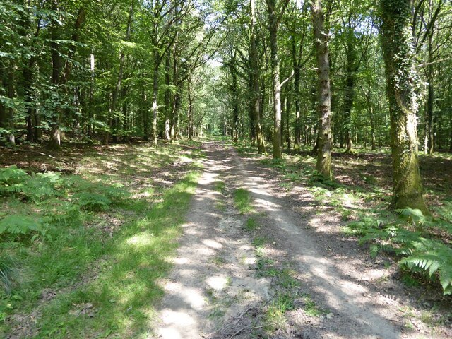
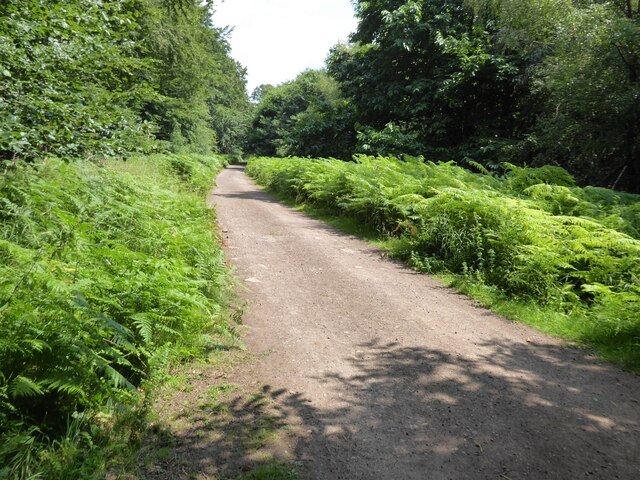
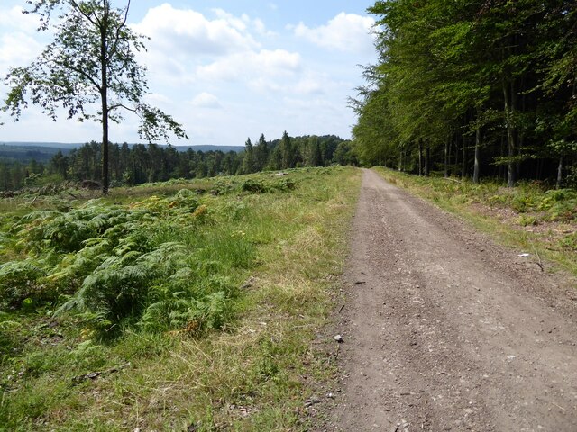
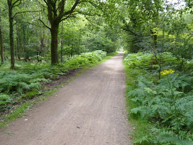
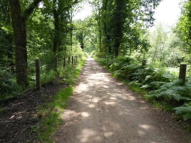
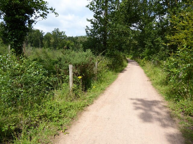
The woodland is predominantly composed of a mixture of deciduous and coniferous trees, including oak, beech, birch, and pine, which create a stunning tapestry of colors throughout the seasons. The dense canopy provides a sheltered habitat for various wildlife species, such as deer, foxes, badgers, and a wide array of bird species, making it a popular spot for nature enthusiasts and birdwatchers.

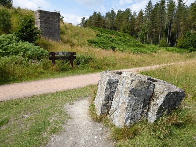
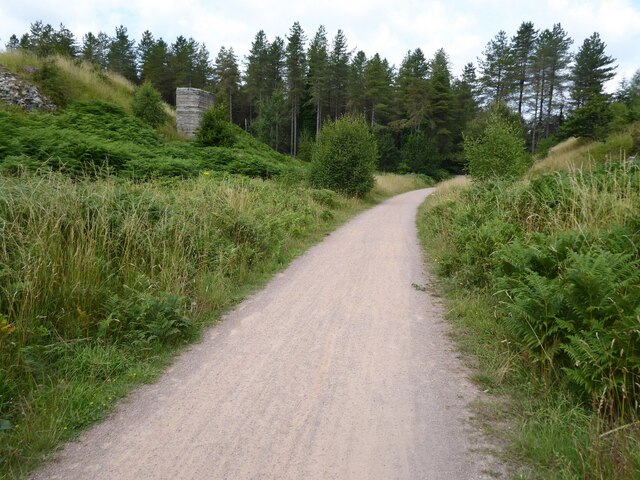
Crumpmeadow Inclosure features a network of well-maintained trails and paths that wind through the forest, allowing visitors to explore the area and enjoy leisurely walks or more adventurous hikes. The peaceful atmosphere and natural beauty make it an ideal location for outdoor activities, including picnics, photography, and nature study.

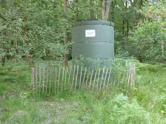
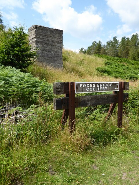
Managed by the local authorities, the woodland is carefully preserved to maintain its ecological balance and protect its biodiversity. The maintenance includes regular tree planting and removal of invasive species to ensure the continued health and growth of the forest.

Crumpmeadow Inclosure is easily accessible, with parking facilities available nearby, and is a popular destination for both locals and tourists seeking a peaceful and rejuvenating escape in the heart of Gloucestershire's natural beauty.

If you have any feedback on the listing, please let us know in the comments section below.

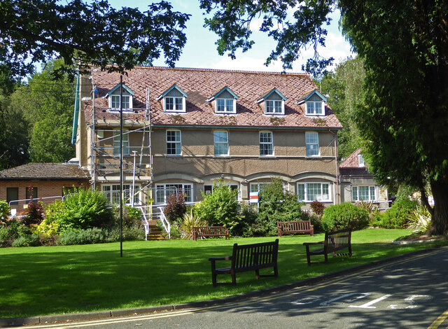
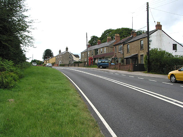
Crumpmeadow Inclosure Images

Images are sourced within 2km of 51.824596/-2.529579 or Grid Reference SO6314. Thanks to Geograph Open Source API. All images are credited.

Forest track Forest track in Serridge Inclosure in the Forest of Dean.
Forest track
Forest track in Serridge Inclosure in the Forest of Dean.
The Wysis Way The Wysis Way following a track in Serridge Inclosure.  The Wysis Way is a long distance path connecting Offa's Dyke and the start of the Thames Path.
The Wysis Way
The Wysis Way following a track in Serridge Inclosure. The Wysis Way is a long distance path connecting Offa's Dyke and the start of the Thames Path.
Forest track Forest track near Serridge Green in the Forest of Dean.
Forest track
Forest track near Serridge Green in the Forest of Dean.
Area of clearfell Area of clearfell at Serridge Green.  With the trees felled there are extensive views over the forest.
Area of clearfell
Area of clearfell at Serridge Green. With the trees felled there are extensive views over the forest.
Hicksters Ways bat roost A fabricated bat roost at Hicksters Ways in the Forest of Dean.
Hicksters Ways bat roost
A fabricated bat roost at Hicksters Ways in the Forest of Dean.
Cycleway and former railway Cycleway and former railway trackbed passing through Crabtreehill Plantation in the Forest of Dean.
Cycleway and former railway
Cycleway and former railway trackbed passing through Crabtreehill Plantation in the Forest of Dean.
Site of Foxes Bridge Colliery Former railway track and now a cycleway passing through the site of Foxes Bridge Colliery.  Trees have been felled since I last photographed this site just over seven years ago <a href="https://www.geograph.org.uk/photo/3954592">SO6313 : Foxes Bridge Colliery</a>.
Site of Foxes Bridge Colliery
Former railway track and now a cycleway passing through the site of Foxes Bridge Colliery. Trees have been felled since I last photographed this site just over seven years ago SO6313 : Foxes Bridge Colliery.
Site of Foxes Bridge Colliery The site of Foxes Bridge Colliery viewed from a former railway track and now cycleway.
Site of Foxes Bridge Colliery
The site of Foxes Bridge Colliery viewed from a former railway track and now cycleway.
Site of Foxes Bridge Colliery Former railway track and now a cycleway passing through the site of Foxes Bridge Colliery.
Site of Foxes Bridge Colliery
Former railway track and now a cycleway passing through the site of Foxes Bridge Colliery.
Cycleway passing through Crabtreehill Plantation Cycleway on a former railway trackbed passing through Crabtreehill Plantation.
Cycleway passing through Crabtreehill Plantation
Cycleway on a former railway trackbed passing through Crabtreehill Plantation.
Cycleway near Dilke Hospital Cycleway and former railway trackbed near Dilke Hospital in the Forest of Dean.
Cycleway near Dilke Hospital
Cycleway and former railway trackbed near Dilke Hospital in the Forest of Dean.
Dilke Hospital Dilke Memorial Hospital opened in 1921 and is named after Sir Charles Dilke, 2nd Baronet who was a Liberal MP for the Forest of Dean and died in 1911.
Dilke Hospital
Dilke Memorial Hospital opened in 1921 and is named after Sir Charles Dilke, 2nd Baronet who was a Liberal MP for the Forest of Dean and died in 1911.
Forest of Dean Sculpture Trail Stained glass window at Forest of Dean Sculpture Trail
Forest of Dean Sculpture Trail
Stained glass window at Forest of Dean Sculpture Trail
Pump bob - Foxes Bridge Colliery near Cinderford This inverted tee bob was undoubtedly associated with a steam pumping engine for draining this colliery and has been retained on site on a specially made concrete pad. Unfortunately it is being reclaimed by nature and is fairly well hidden although there is a well established path to it. It took me a while of hunting to find it from the nearby cycle trail.
Pump bob - Foxes Bridge Colliery near Cinderford
This inverted tee bob was undoubtedly associated with a steam pumping engine for draining this colliery and has been retained on site on a specially made concrete pad. Unfortunately it is being reclaimed by nature and is fairly well hidden although there is a well established path to it. It took me a while of hunting to find it from the nearby cycle trail.
Dilke Memorial Hospital near Cinderford
Trig point near Crabtree Hill, forest of Dean
Entrance to Forest of Dean Crematorium
Remains of Foxes Bridge Colliery near Cinderford Some large lumps of masonry adjoining a cycle trail through the site. There are other interesting foundations and the remains of a pumping bob nearby but they do take a little hunting for.
Remains of Foxes Bridge Colliery near Cinderford
Some large lumps of masonry adjoining a cycle trail through the site. There are other interesting foundations and the remains of a pumping bob nearby but they do take a little hunting for.
Show me another place!

Crumpmeadow Inclosure is located at Grid Ref: SO6314 (Lat: 51.824596, Lng: -2.529579)

Administrative County: Gloucestershire

District: Forest of Dean

Police Authority: Gloucestershire

What 3 Words

///inserting.routine.revived. Near Cinderford, Gloucestershire

Related Wikis

Nearby Amenities

Located within 500m of 51.824596,-2.529579
Crabtree Hill
Is In: Gloucestershire, England, UK
Place: locality
Source: NPE
Lat/Long: 51.820498/-2.5325752
Barrier: swing_gate
Material: metal
Lat/Long: 51.8271677/-2.5335556
Drybrook Road Station
Ele: 169
Historic: railway_station
Information: route_marker
Tourism: information
Lat/Long: 51.8275494/-2.5335289
Crumpmeadow Inclosure
Place: locality
Lat/Long: 51.824749/-2.5305199
Hicksters Ways
Place: locality
Lat/Long: 51.826545/-2.5360109
Drybrook Road
Historic Railway: station
Railway: site
Wikidata: Q16947086
Wikipedia: en:Drybrook Road railway station
Lat/Long: 51.8278679/-2.5337603
The data included in this document is from www.openstreetmap.org. The data is made available under ODbL.

Have you been to Crumpmeadow Inclosure?

Leave your review of Crumpmeadow Inclosure below (or comments, questions and feedback).