Chillesford
Civil Parish in Suffolk East Suffolk
England
Chillesford

Chillesford is a civil parish located in the county of Suffolk, England. The parish is situated in the eastern part of the county, approximately 12 miles northeast of the town of Ipswich. It covers an area of around 5 square miles and is home to a small population.
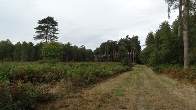
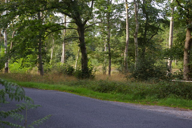
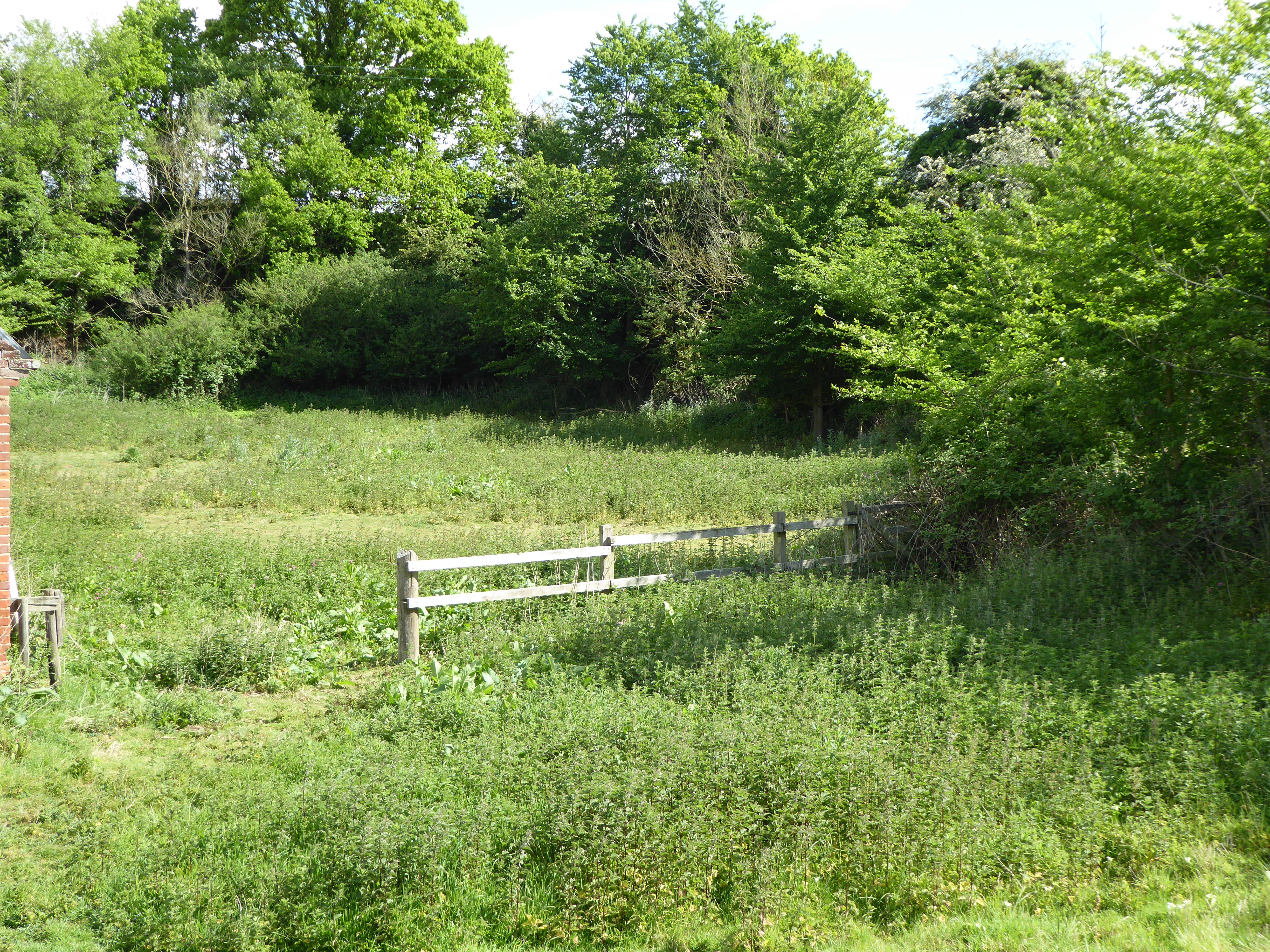
The village of Chillesford itself is a charming rural settlement, surrounded by picturesque countryside and farmland. It is known for its tranquil atmosphere and beautiful natural surroundings, making it an ideal location for those seeking a peaceful retreat. The parish is part of the Suffolk Coast and Heaths Area of Outstanding Natural Beauty, further enhancing its appeal to nature lovers and outdoor enthusiasts.
Historically, Chillesford has been an agricultural community, with farming playing a significant role in the local economy. The area is dotted with traditional farmhouses and barns, adding to its rural charm. Today, while agriculture is still present, the parish has also seen an increase in residential development, with a mix of old and new properties found throughout the village.
Despite its small size, Chillesford offers some amenities for its residents and visitors. These include a village hall and a local pub, providing a social hub for the community. The surrounding area offers opportunities for outdoor activities such as walking, cycling, and birdwatching, with several footpaths and nature reserves in close proximity.
Overall, Chillesford is a peaceful and idyllic civil parish in Suffolk, offering a rural lifestyle and a close connection to nature.
If you have any feedback on the listing, please let us know in the comments section below.
Chillesford Images
Images are sourced within 2km of 52.117646/1.488021 or Grid Reference TM3852. Thanks to Geograph Open Source API. All images are credited.


Chillesford is located at Grid Ref: TM3852 (Lat: 52.117646, Lng: 1.488021)
Administrative County: Suffolk
District: East Suffolk
Police Authority: Suffolk
What 3 Words
///sage.oaks.dumplings. Near Rendlesham, Suffolk
Nearby Locations
Related Wikis
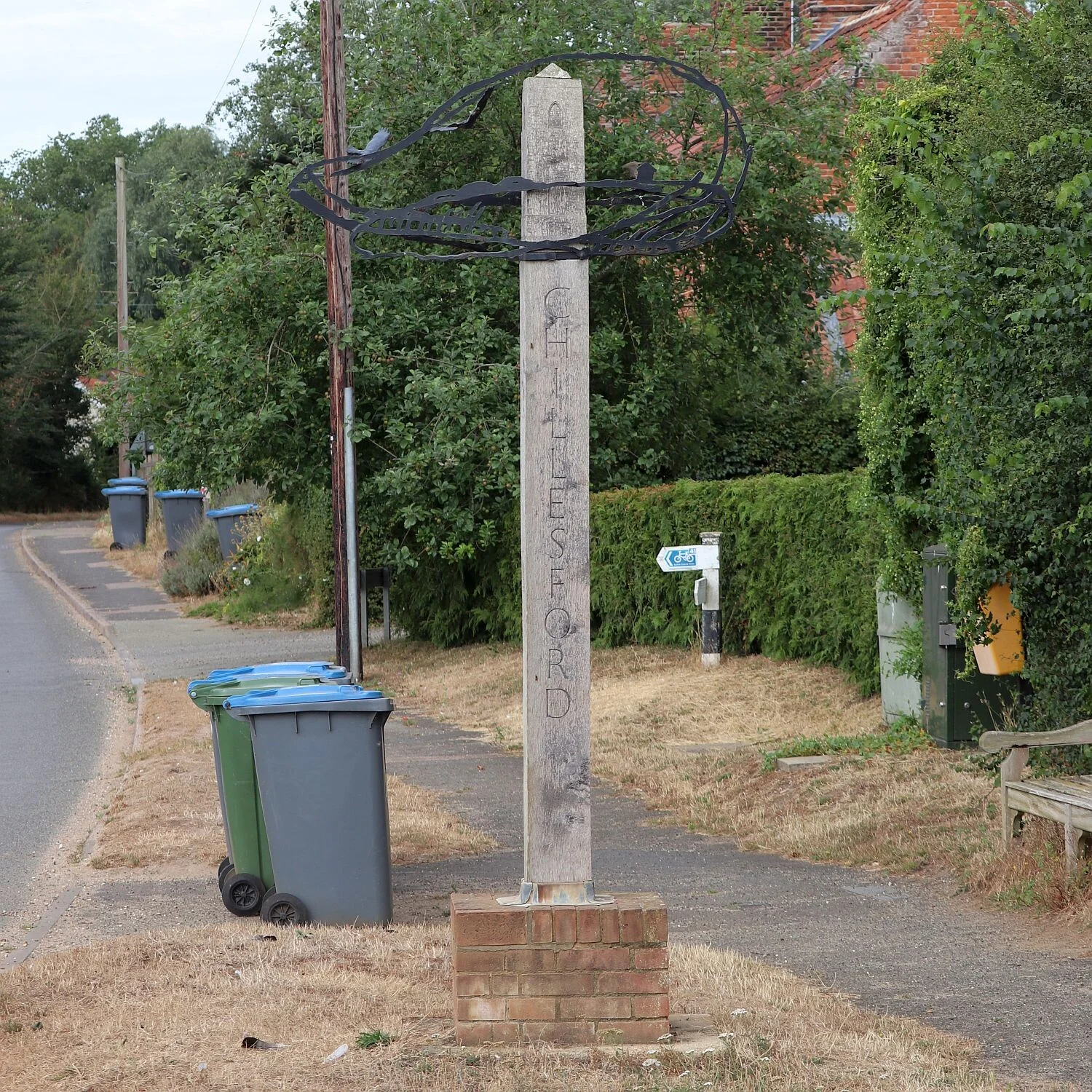
Chillesford
Chillesford is a village and civil parish in the East Suffolk district, in the English county of Suffolk. It is located on the B1084 road which runs east...
Chillesford Church Pit
Chillesford Church Pit is a 1.1-hectare (2.7-acre) geological Site of Special Scientific Interest in Chillesford, south of Saxmundham in Suffolk. It is...

Sudbourne Park Pit
Sudbourne Park Pit is a 1.1-hectare (2.7-acre) geological Site of Special Scientific Interest between Orford and Chillesford in Suffolk. It is a Geological...

Alde–Ore Estuary
Alde–Ore Estuary is a 2,534 hectare biological and geological Site of Special Scientific Interest which stretches along the Suffolk coast between Aldeburgh...

Wantisden
Wantisden is a small village and civil parish in the East Suffolk district of Suffolk in eastern England. Largely consisting of a single farm and ancient...

Neutral Farm Pit, Butley
Neutral Farm Pit, Butley is a 1.1-hectare (2.7-acre) geological Site of Special Scientific Interest in Butley, east of Woodbridge in Suffolk. It is a Geological...

Butley, Suffolk
Butley is a village and civil parish in the English county of Suffolk. Butley lies 7+1⁄2 miles (12 km) east of the town of Woodbridge on the B1084 (Orford...

Sudbourne
Sudbourne is a village and civil parish in Suffolk, England, located approximately 2 miles (3 km) north of Orford. All Saints' Church dates from the 14th...
Nearby Amenities
Located within 500m of 52.117646,1.488021Have you been to Chillesford?
Leave your review of Chillesford below (or comments, questions and feedback).