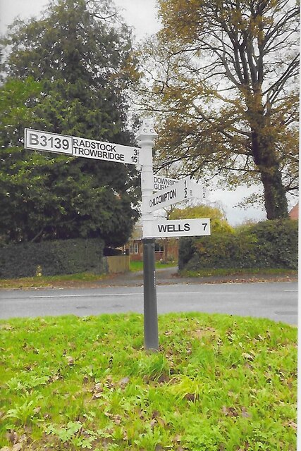
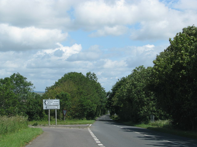
Chilcompton
Civil Parish in Somerset Mendip
England
Chilcompton

Chilcompton is a civil parish located in the county of Somerset, England. Situated about 14 miles south of Bath, it falls within the Mendip district. The parish covers an area of approximately 3 square miles and is home to a population of around 2,500 residents.
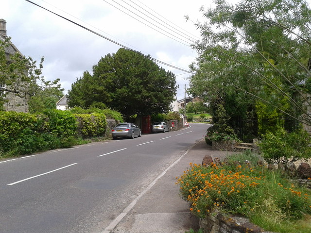
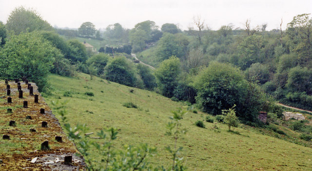
The village of Chilcompton sits on the northern edge of the Mendip Hills, an area renowned for its natural beauty and limestone landscapes. The village is surrounded by picturesque countryside, offering residents and visitors ample opportunities for outdoor activities such as walking, cycling, and horse riding.
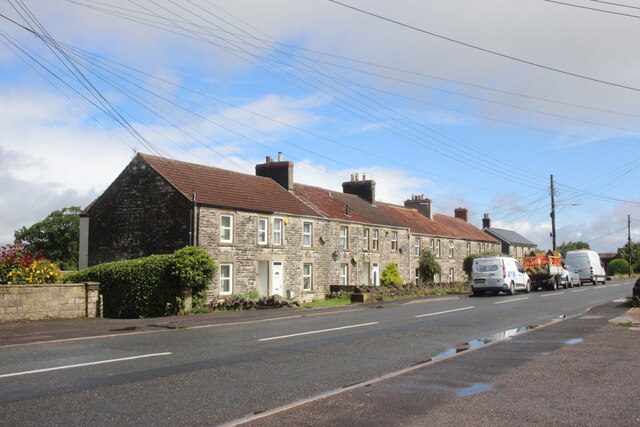
Chilcompton has a rich history dating back to Roman times, with evidence of Roman settlements discovered in the area. In more recent centuries, the village became a hub for coal mining and quarrying due to its abundant natural resources. Today, remnants of the mining industry can still be seen in the form of old mine shafts and quarries scattered throughout the landscape.
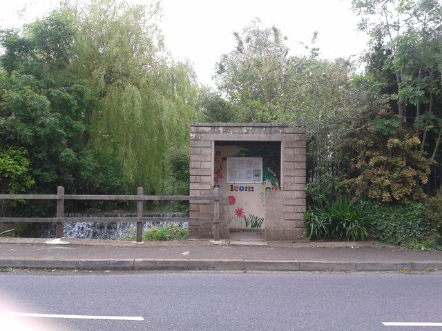
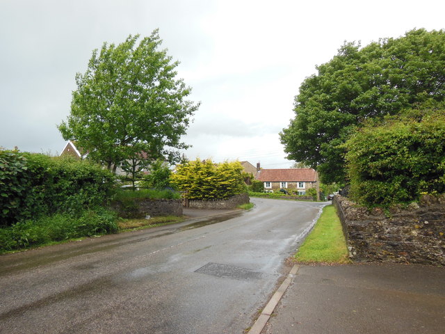
The village itself boasts a charming mix of old and new buildings, with a range of amenities and services for its residents. These include a primary school, a post office, a village hall, and a number of shops and businesses. The community is also served by public transportation, with regular bus services connecting Chilcompton to nearby towns and cities.
Chilcompton offers a peaceful and close-knit community, making it an attractive place to live for those seeking a rural lifestyle with easy access to larger urban areas.
If you have any feedback on the listing, please let us know in the comments section below.
Chilcompton Images
Images are sourced within 2km of 51.261119/-2.51118 or Grid Reference ST6451. Thanks to Geograph Open Source API. All images are credited.


Chilcompton is located at Grid Ref: ST6451 (Lat: 51.261119, Lng: -2.51118)
Administrative County: Somerset
District: Mendip
Police Authority: Avon and Somerset
What 3 Words
///dimension.ideas.doghouse. Near Chilcompton, Somerset
Nearby Locations
Related Wikis
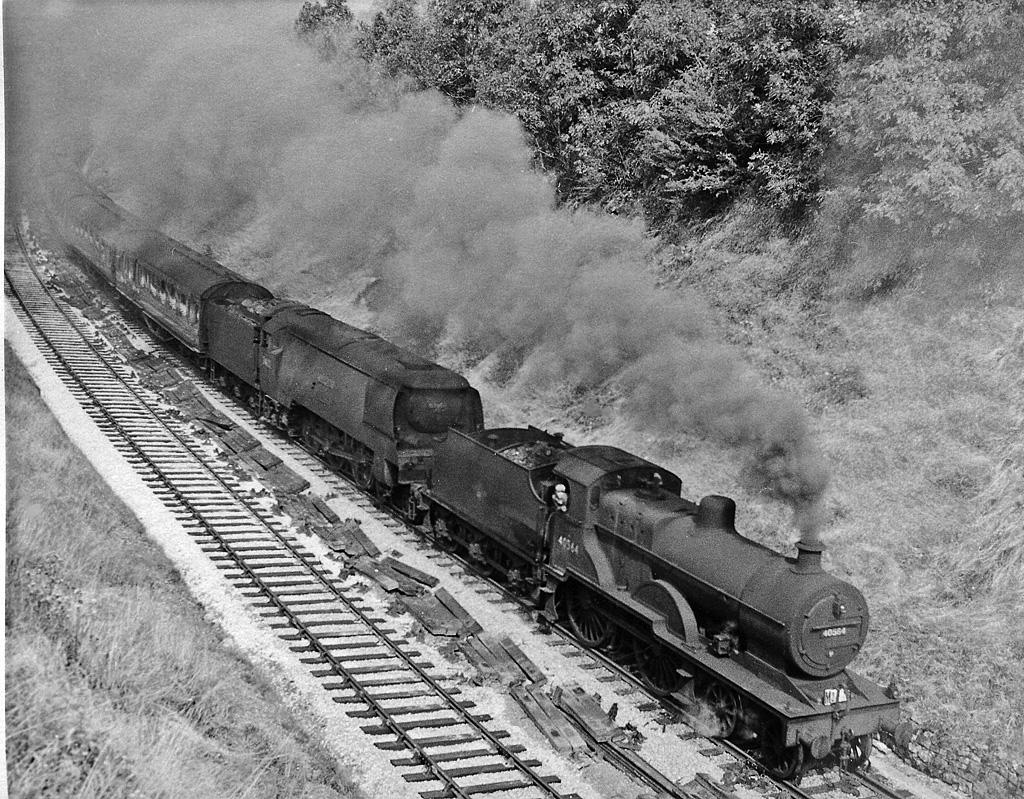
Chilcompton railway station
Chilcompton railway station was a station on the Somerset and Dorset Joint Railway at Chilcompton in the county of Somerset in England and opened on 20...

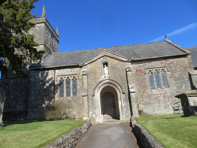
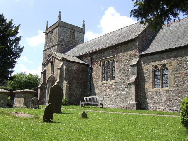
Church of St John the Baptist, Chilcompton
The Anglican Church of St John the Baptist in Chilcompton, within the English county of Somerset, was built in the 15th century. It is a Grade II* listed...
Chilcompton
Chilcompton is a village and civil parish in Somerset, England, situated in the Mendip Hills two miles south of Midsomer Norton and 3.0 miles south-west...

Christ Church, Downside
Christ Church is a former Church of England church in Downside, Somerset, England. Designed by John Pinch the younger, it was built in 1837–38 and closed...
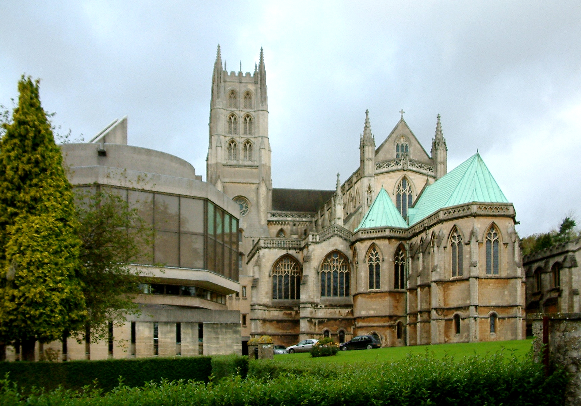
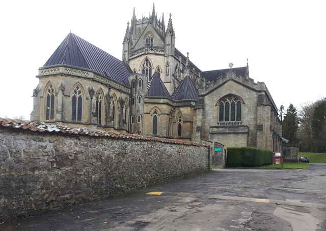
Downside Abbey
Downside Abbey is a Benedictine monastery in England and the senior community of the English Benedictine Congregation. Until 2019, the community had close...

Downside School
Downside School is a co-educational Catholic independent boarding and day school in the English public school tradition for pupils aged 11 to 18. It is...
Stratton-on-the-Fosse
Stratton-on-the-Fosse is a village and civil parish located on the edge of the Mendip Hills, 2 miles (3 km) south-west of Westfield, 6 miles (10 km) north...
Blacker's Hill
Blacker's Hill is an Iron Age hill fort at Chilcompton, 4.5 kilometres (3 mi) south west of Radstock, Somerset, England. It has been designated as a Scheduled...
Nearby Amenities
Located within 500m of 51.261119,-2.51118Have you been to Chilcompton?
Leave your review of Chilcompton below (or comments, questions and feedback).