Cheverell Magna

Civil Parish in Wiltshire

England

Cheverell Magna

West Wiltshire : Railside & Fields Fields along the rail line in West Wiltshire.
West Wiltshire : Railside & Fields Credit: Lewis Clarke

Cheverell Magna is a civil parish located in the county of Wiltshire, England. It is situated in the southern part of the county, approximately 5 miles west of the market town of Devizes. The parish covers an area of around 2.7 square miles and is home to a population of around 400 residents.

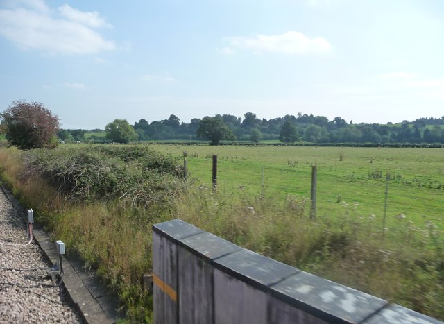
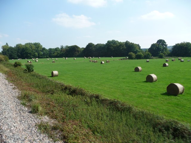
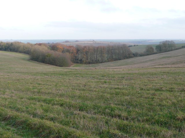
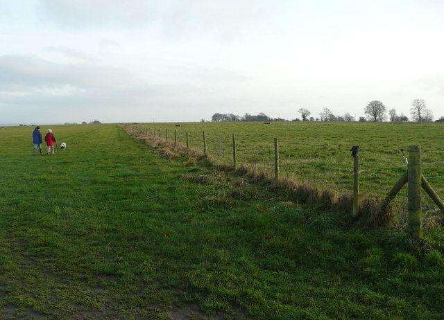
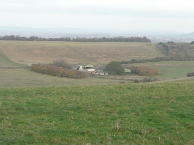
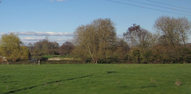
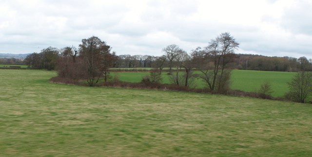
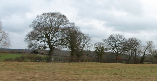
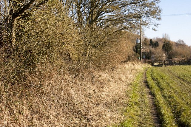
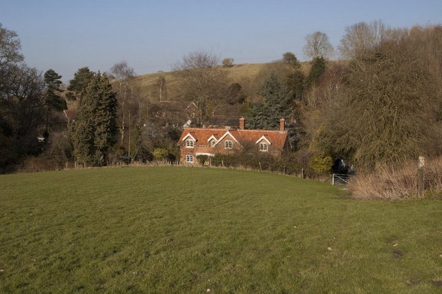
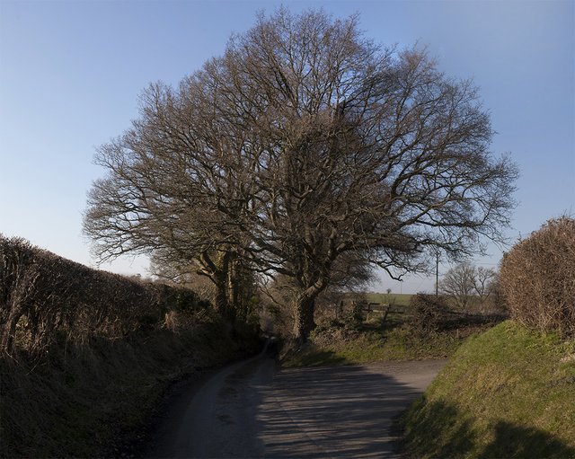
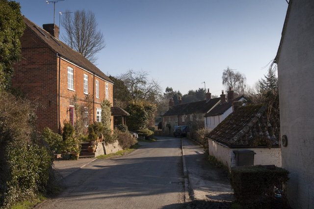
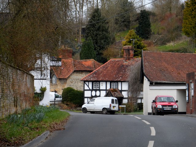
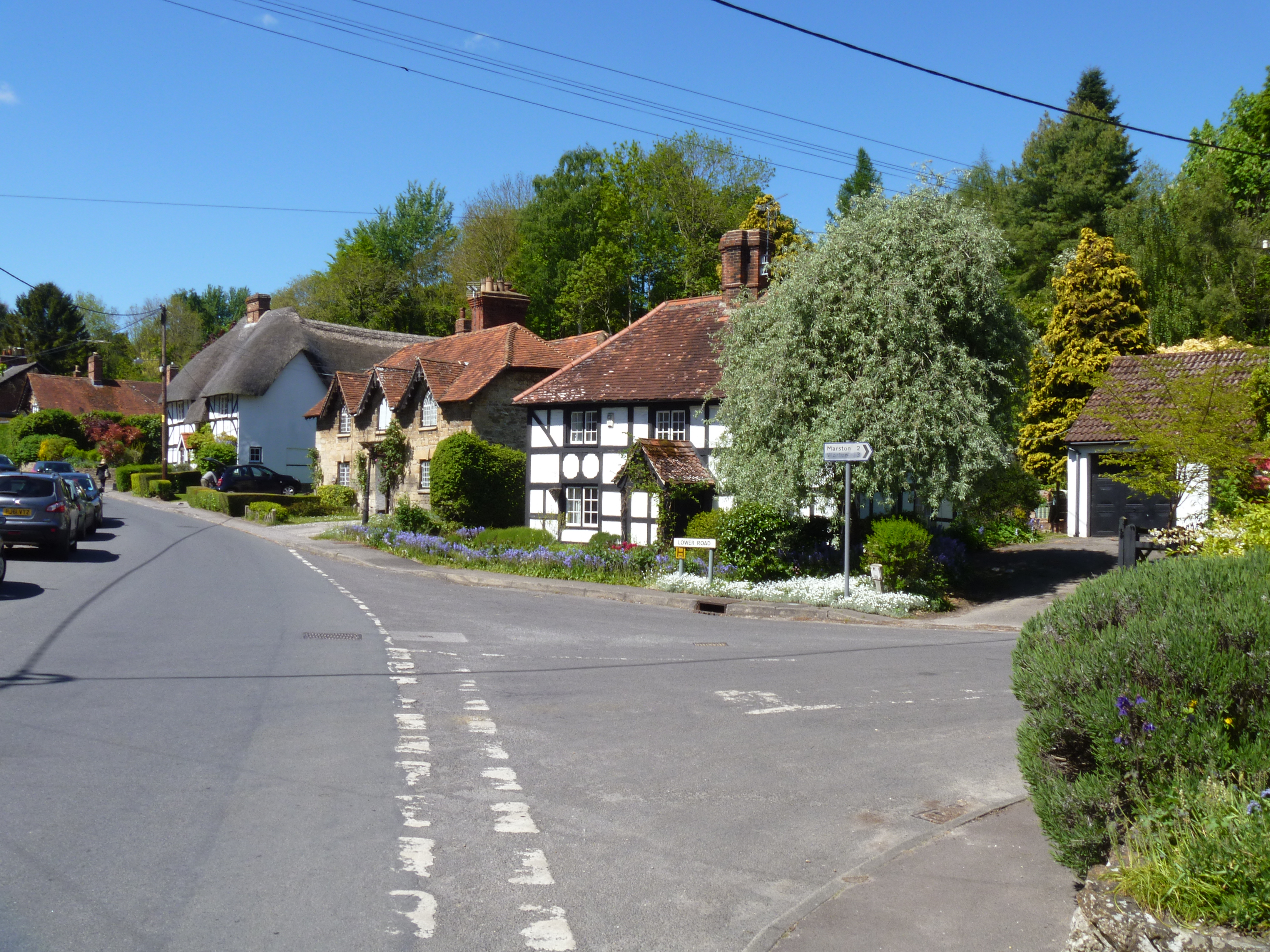
The village of Cheverell Magna is characterized by its rural setting, with rolling countryside and picturesque landscapes surrounding it. The parish is primarily residential, with a mix of traditional cottages and more modern housing. There are also a number of farms and agricultural fields in the area, reflecting the village's historical connection to farming.

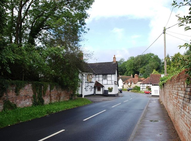
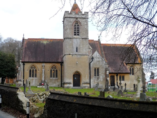
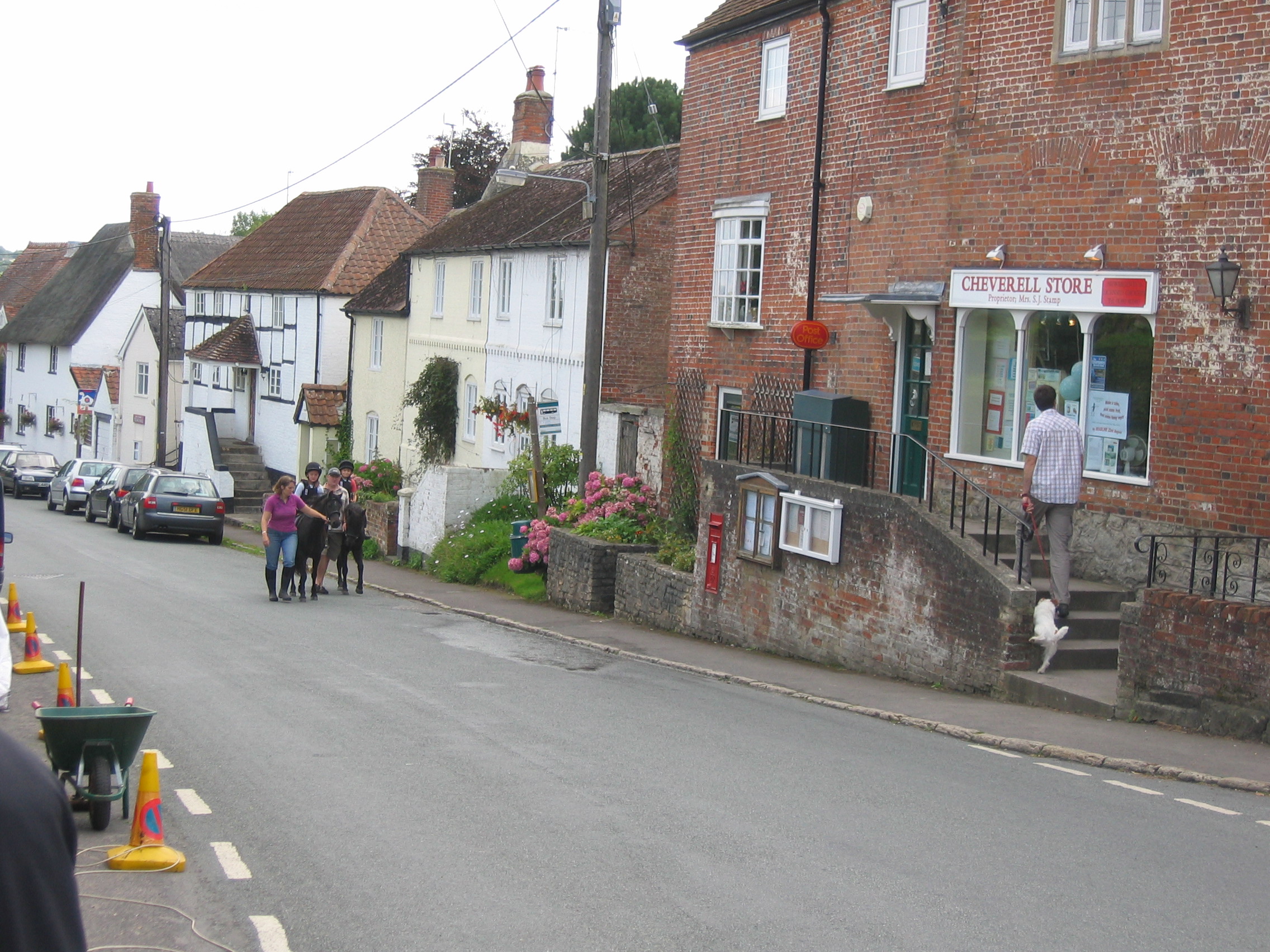
The heart of the village is centered around St. Peter's Church, a Grade I listed building that dates back to the 13th century. The church is a prominent feature of the village and holds regular services for the local community. Other amenities in Cheverell Magna include a village hall, a primary school, and a pub, providing essential services and a sense of community for the residents.

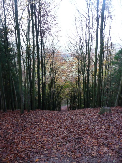
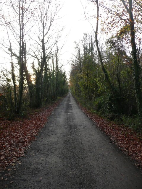
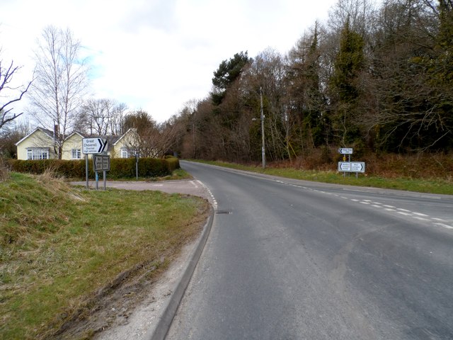
Cheverell Magna offers a peaceful and tranquil environment, making it an attractive place to live for those seeking a quieter rural lifestyle. The village is well-connected to neighboring towns and cities, with good road links to Devizes and Salisbury. It also benefits from a range of recreational opportunities nearby, including walking and cycling routes, as well as the beautiful Salisbury Plain just a short distance away. Overall, Cheverell Magna is a charming and idyllic village that offers a true taste of English countryside living.

If you have any feedback on the listing, please let us know in the comments section below.

Cheverell Magna Images

Images are sourced within 2km of 51.282829/-2.039385 or Grid Reference ST9753. Thanks to Geograph Open Source API. All images are credited.

West Wiltshire : Railside & Fields Fields along the rail line in West Wiltshire.
West Wiltshire : Railside & Fields
Fields along the rail line in West Wiltshire.
West Wiltshire : grassy field A grassy field with hay bales in the sun.
West Wiltshire : grassy field
A grassy field with hay bales in the sun.
Looking from Stoke Hill over the woods  Towards Cheverell Hill Farm.
Looking from Stoke Hill over the woods
Towards Cheverell Hill Farm.
Dog walkers on Stoke Hill Approaching the 'Danger Area'.
Dog walkers on Stoke Hill
Approaching the 'Danger Area'.
Looking down from Stoke Hill Towards Cheverell Hill Farm.
Looking down from Stoke Hill
Towards Cheverell Hill Farm.
Autumn leaves in Hill Wood Looking down through Hill Wood from Pear Tree Hill.
Autumn leaves in Hill Wood
Looking down through Hill Wood from Pear Tree Hill.
The track at the top of Hill Wood Heading towards Stoke Hill.
The track at the top of Hill Wood
Heading towards Stoke Hill.
Pasture and trees, Great Cheverell Cheverell Mill is tucked away behind the trees. View from a train on the main line between Pewsey and Westbury.
Pasture and trees, Great Cheverell
Cheverell Mill is tucked away behind the trees. View from a train on the main line between Pewsey and Westbury.
Farmland near Great Cheverell Seen from a train on the Westbury - Pewsey main line. The nearer trees are following a small drainage channel. Cheverell Wood is in the background on the right.
Farmland near Great Cheverell
Seen from a train on the Westbury - Pewsey main line. The nearer trees are following a small drainage channel. Cheverell Wood is in the background on the right.
Trees along field boundary, Great Cheverell Taken from a passing train on the main railway line between Westbury and Pewsey, hence the poor quality. The trees to the right are in <a href="https://www.geograph.org.uk/gridref/ST9755">ST9755</a>, as is the barn to the left of the nearest oak.
Trees along field boundary, Great Cheverell
Taken from a passing train on the main railway line between Westbury and Pewsey, hence the poor quality. The trees to the right are in ST9755, as is the barn to the left of the nearest oak.
The B3098 through Erlestoke The George and Dragon pub is on the left.
The B3098 through Erlestoke
The George and Dragon pub is on the left.
Hedgerow at Great Cheverell
Village property at Little Cheverell
Line of trees along Westbury Road, between B3098 and Great Cheverell
Main street, Little Cheverell looking south
Junction on B3098
Junction on B3098
Earlestoke parish church Seems to be a hole in the wall.
Earlestoke parish church
Seems to be a hole in the wall.
High street Earlestoke
Show me another place!

Cheverell Magna is located at Grid Ref: ST9753 (Lat: 51.282829, Lng: -2.039385)

Unitary Authority: Wiltshire

Police Authority: Wiltshire

What 3 Words

///hatter.digested.multiple. Near Erlestoke, Wiltshire

Related Wikis

HM Prison Erlestoke

HM Prison Erlestoke is a Category C men's prison, to the east of the village of Erlestoke in Wiltshire, England. Erlestoke is operated by His Majesty's...

Erlestoke

Erlestoke is a village and civil parish in Wiltshire, England, on the northern edge of Salisbury Plain. The village lies about 6 miles (10 km) east of...

Great Cheverell

Great Cheverell is a village and civil parish in Wiltshire, England, 5 miles (8.0 km) south of Devizes. In some sources the Latinized name of Cheverell...

Little Cheverell

Little Cheverell is a small village and civil parish in Wiltshire, England. In some sources the Latinized name of Cheverell Parva is used, especially when...

Nearby Amenities

Located within 500m of 51.282829,-2.039385
Post Box
Brand: Royal Mail
Brand Wikidata: Q638098
Collection Times: Mo-Fr 16:00; Sa 08:30
Drive Through: no
Operator: Royal Mail
Operator Wikidata: Q638098
Post Box Type: lamp
Ref: SN10 78
Royal Cypher: EIIR
Royal Cypher Wikidata: Q33102113
Lat/Long: 51.2826129/-2.039477
The data included in this document is from www.openstreetmap.org. The data is made available under ODbL.

Have you been to Cheverell Magna?

Leave your review of Cheverell Magna below (or comments, questions and feedback).